Milton

Settlement in Perthshire

Scotland

Milton

Cablea junction Where A826 on right leaves A822.
Cablea junction Credit: Stanley Howe

The requested URL returned error: 429 Too Many Requests

If you have any feedback on the listing, please let us know in the comments section below.
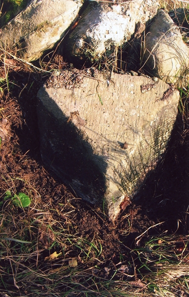
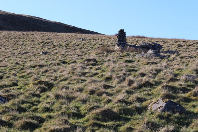
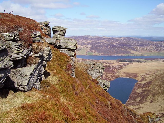
Milton Images

Images are sourced within 2km of 56.527723/-3.7593044 or Grid Reference NN9138. Thanks to Geograph Open Source API. All images are credited.

Cablea junction Where A826 on right leaves A822.
Cablea junction
Where A826 on right leaves A822.
Deanshaugh By Old Military Road (A822).
Deanshaugh
By Old Military Road (A822).
Road heading north
Road heading north
On the A822 road to Amulree Meall nam Fuaran is in the centre-distance.
On the A822 road to Amulree
Meall nam Fuaran is in the centre-distance.
Track towards Rose Craig Off the A822 road.
Track towards Rose Craig
Off the A822 road.
Fermtoun remains, Newton of Ballinreigh The remains of a number of old buildings and enclosures, once part of a farming township (fermtoun), can be seen here through the deer fencing.

More info at:

<span class="nowrap"><a title="https://canmore.org.uk/site/84869/newton-of-ballinreigh" rel="nofollow ugc noopener" href="https://canmore.org.uk/site/84869/newton-of-ballinreigh">Link</a><img style="margin-left:2px;" alt="External link" title="External link - shift click to open in new window" src="https://s1.geograph.org.uk/img/external.png" width="10" height="10"/></span>
Fermtoun remains, Newton of Ballinreigh
The remains of a number of old buildings and enclosures, once part of a farming township (fermtoun), can be seen here through the deer fencing. More info at: LinkExternal link
Old Milestone by the A822, Cablea, Logierait Parish By the A822, in parish of Logierait (District), Cablea, South of junction with A826, by wall on verge, East side of road.

Inscription once read:- : (Amulree / 2) : : (Aberfeldy / 9) :

Surveyed

Milestone Society National ID: PK_AFCF09
Old Milestone by the A822, Cablea, Logierait Parish
By the A822, in parish of Logierait (District), Cablea, South of junction with A826, by wall on verge, East side of road. Inscription once read:- : (Amulree / 2) : : (Aberfeldy / 9) : Surveyed Milestone Society National ID: PK_AFCF09
Old Milestone by the A822, Ballachraggan, Little Dunkeld parish Stone post by the A822, in parish of Little Dunkeld (District), Ballachraggan, between electricity pylons 226 and 227, South side of road.

Inscription once read:-
: (Amulree / 2¾) : : (Dunkeld / 7) : 

Surveyed

Milestone Society National ID: PK_DKAM07
Old Milestone by the A822, Ballachraggan, Little Dunkeld parish
Stone post by the A822, in parish of Little Dunkeld (District), Ballachraggan, between electricity pylons 226 and 227, South side of road. Inscription once read:- : (Amulree / 2¾) : : (Dunkeld / 7) : Surveyed Milestone Society National ID: PK_DKAM07
Shepherds' cairn on Dalreoch Hill
Dalreoch A centre offering outdoor activities.
Dalreoch
A centre offering outdoor activities.
Driveway to Dalreoch
River Braan overflow channel
Plantation edge by the A822
Above Deanhaugh
Above Deanhaugh
Fields in Strath Braan
A822 north of Amulree
Upper Strath Braan
Upper Strath Braan
Wetland by Amulree
Wetland by Amulree
Show me another place!

Milton is located at Grid Ref: NN9138 (Lat: 56.527723, Lng: -3.7593044)

Unitary Authority: Perth and Kinross

Police Authority: Tayside

What 3 Words

///condensed.womb.handfuls. Near Aberfeldy, Perth & Kinross

Nearby Locations

Milton

Related Wikis

Amulree

Amulree (Scottish Gaelic: Àth Maol Ruibhe, 'Ford of [St.] Maelrubha') is a small hamlet in Perth and Kinross, Scotland. It lies in hilly country on the...

Loch Fender

Loch Fender is a small irregular shaped freshwater loch that lies to the north of Loch Freuchie and three miles south-south-east of Amulree and 2+1⁄2 miles...

Achnafauld

Achnafauld (, Scottish Gaelic: Achadh na Follt) is a settlement in the Scottish Highlands, about 15 miles (24 km) northwest of Perth. It is located in...

Loch Freuchie

Loch Freuchie, also known as Fraoch, the heatherly loch, is a large freshwater loch on a north-west to south-east orientation, within Glen Quaich in Perth...

Nearby Amenities

Located within 500m of 56.527723,-3.7593044
Power: tower
Lat/Long: 56.5261757/-3.764593
Post Box
Collection Times: Mo-Fr 11:30; Sa 11:30
Manufacturer: Machan Scotland
Operator: Royal Mail
Post Box Mounting: pier
Post Box Type: lamp
Ref: PH8 161
Royal Cypher: scottish_crown
Source: survey;local knowledge
Lat/Long: 56.5254008/-3.7578082
Power: tower
Lat/Long: 56.5303933/-3.7650167
Power: tower
Lat/Long: 56.5286625/-3.7648428
Milton
1860name: Millton, Corn Mill
Pont: no
Stobie1783: Mill-town of Strath-Brand
Designation: Historic Mill
Historic: archaeological_site
Source: OS Six inch First Series
Lat/Long: 56.5271609/-3.7599598
Material: wood
Power: pole
Lat/Long: 56.5256316/-3.75234
Material: wood
Power: pole
Lat/Long: 56.5251814/-3.7530643
Power: pole
Lat/Long: 56.5248654/-3.7541886
Material: wood
Power: pole
Lat/Long: 56.524605/-3.7550912
Power: pole
Lat/Long: 56.5242274/-3.7563759
Power: pole
Lat/Long: 56.5238905/-3.7575218
Power: pole
Lat/Long: 56.5237702/-3.757938
Power: pole
Lat/Long: 56.5235635/-3.7584605
Material: wood
Power: pole
Lat/Long: 56.5248614/-3.755439
Material: wood
Power: pole
Lat/Long: 56.5251506/-3.7558209
Material: wood
Power: pole
Lat/Long: 56.5254746/-3.7562461
The data included in this document is from www.openstreetmap.org. The data is made available under ODbL.

Have you been to Milton?

Leave your review of Milton below (or comments, questions and feedback).