Gaultiquoy
Settlement in Caithness
Scotland
Gaultiquoy
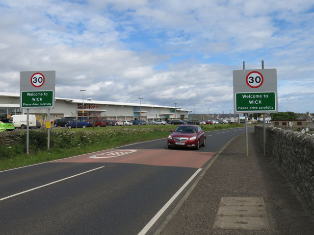
Gaultiquoy is a small village located in the historic county of Caithness, in the northernmost part of the Scottish mainland. Situated on the picturesque east coast, Gaultiquoy is nestled between the towns of Wick and Lybster.
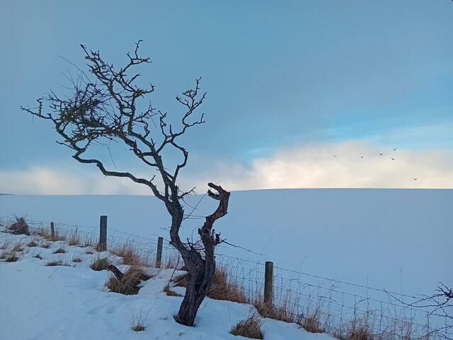
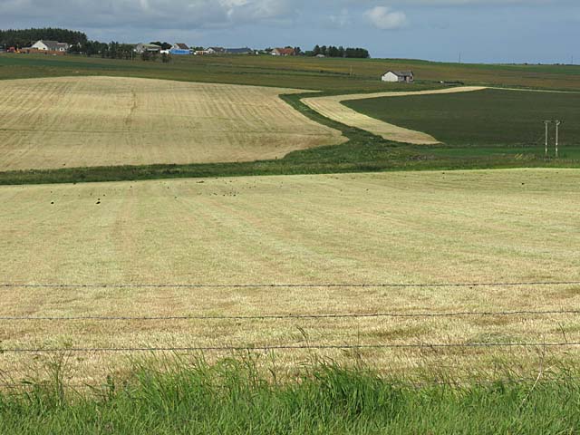
The village is known for its stunning natural beauty, with rolling green hills, rugged coastal cliffs, and breathtaking sea views. It offers a peaceful and tranquil environment, making it an ideal destination for those seeking a quiet retreat or a place to reconnect with nature.
With a population of around 200 residents, Gaultiquoy has a close-knit community that contributes to its warm and welcoming atmosphere. The village is home to a few small businesses, including a local pub, a post office, and a convenience store, providing essential amenities to both residents and visitors.
History enthusiasts will find Gaultiquoy fascinating, as the village is steeped in ancient history. The area boasts several archaeological sites, including standing stones and burial mounds, which offer insights into the lives of the early inhabitants of Caithness.
For outdoor enthusiasts, Gaultiquoy provides ample opportunities for exploration and adventure. The surrounding area offers excellent hiking trails, perfect for enjoying the scenic landscapes and spotting local wildlife. Additionally, the coastal waters are popular among anglers, offering opportunities for fishing.
Overall, Gaultiquoy, Caithness, offers a peaceful and idyllic setting, surrounded by stunning natural beauty and rich in historical significance.
If you have any feedback on the listing, please let us know in the comments section below.
Gaultiquoy Images
Images are sourced within 2km of 58.438506/-3.1215657 or Grid Reference ND3450. Thanks to Geograph Open Source API. All images are credited.


Gaultiquoy is located at Grid Ref: ND3450 (Lat: 58.438506, Lng: -3.1215657)
Unitary Authority: Highland
Police Authority: Highlands and Islands
What 3 Words
///smoothly.seducing.marbles. Near Wick, Highland
Nearby Locations
Related Wikis

Wick High School
Wick High School is a secondary school in Wick, Scotland, under the control of The Highland Council. In September 2008 it had an enrolment of 838. Being...
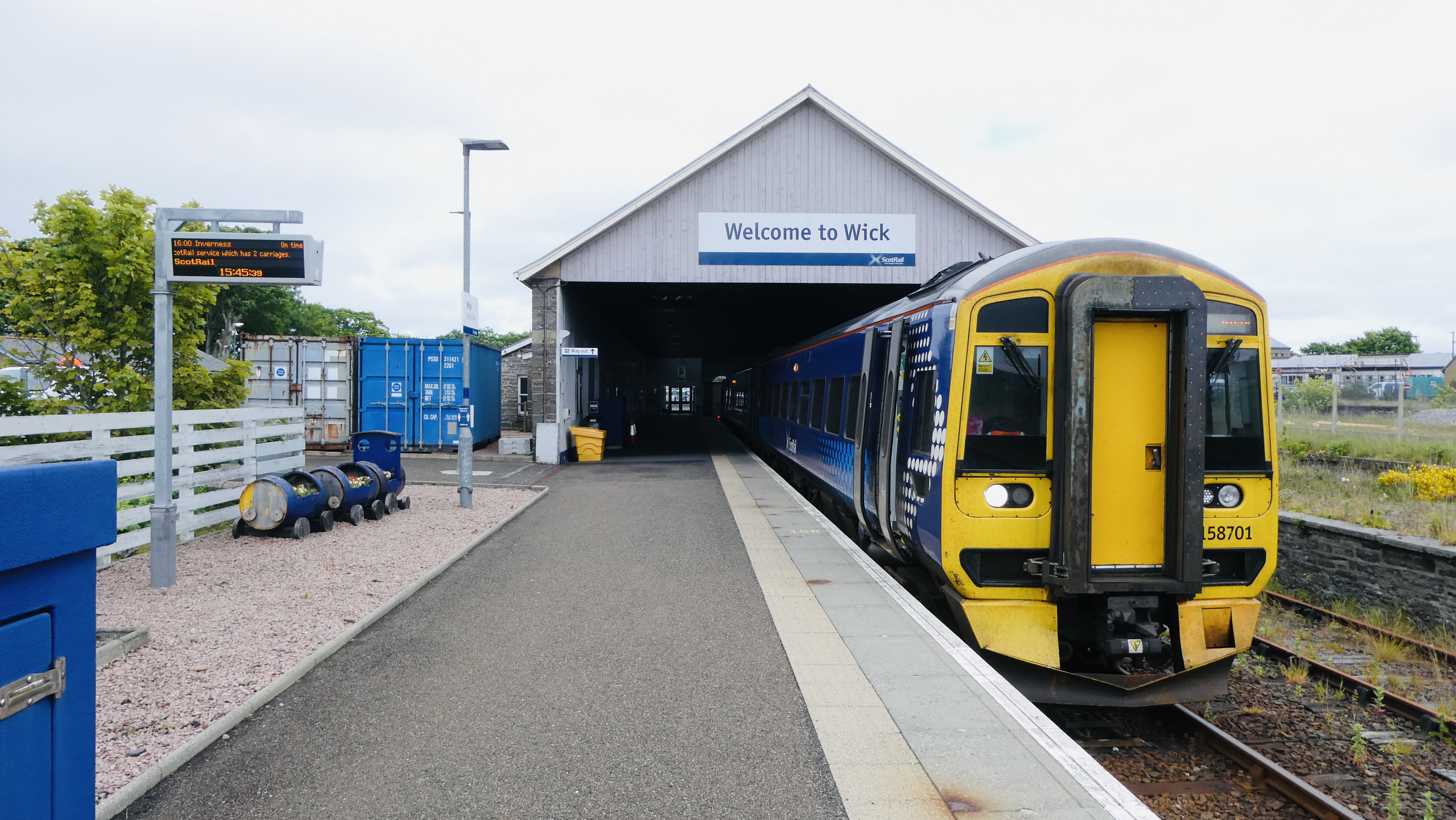
Wick railway station
Wick railway station is a railway station located in Wick, in the Highland council area in the far north of Scotland. It serves the town of Wick and other...
Wick Town and County Hospital
Wick Town and County Hospital is a health facility in Seaforth Avenue, Wick, Scotland. It is managed by NHS Highland. == History == The facility, which...
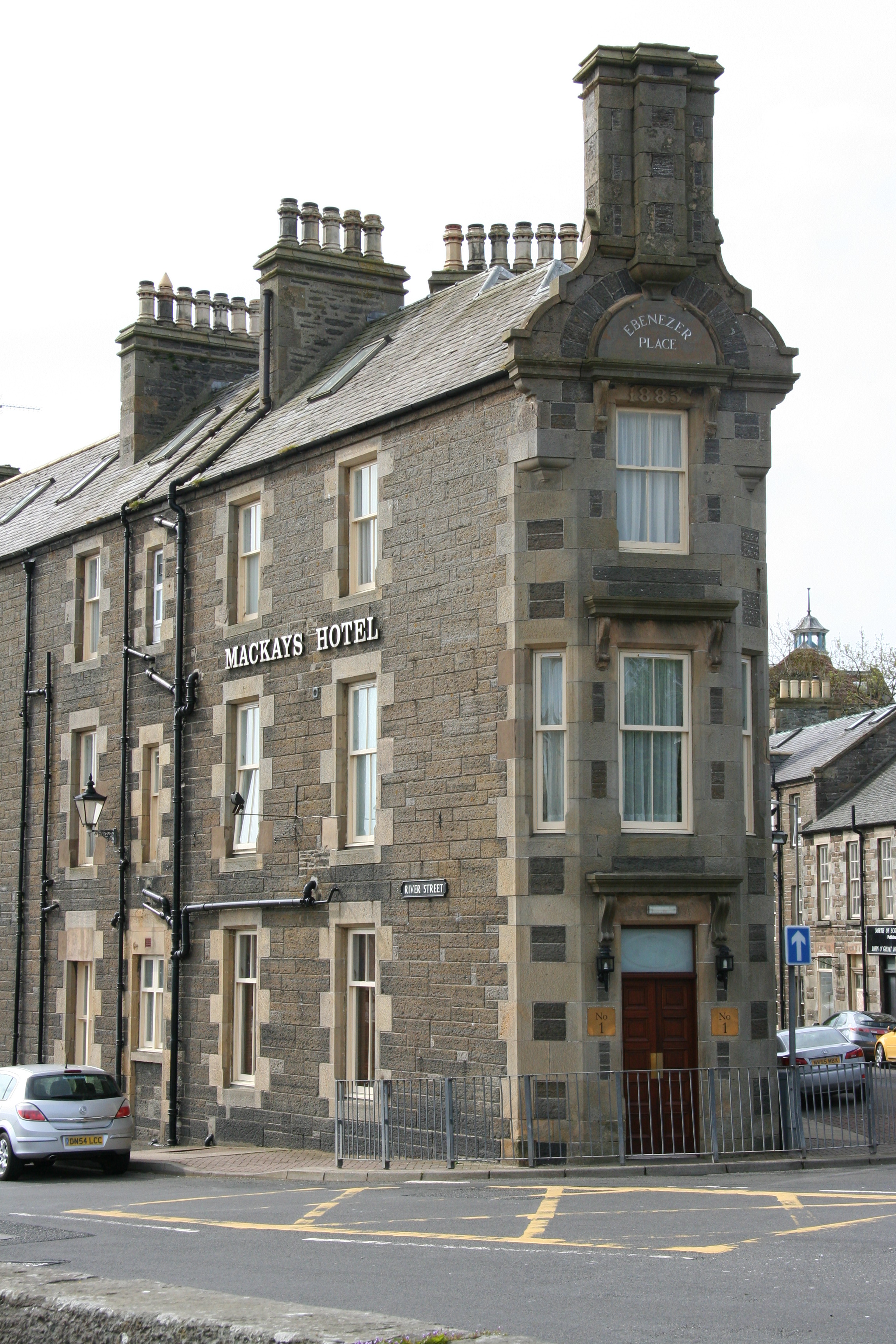
Ebenezer Place, Wick
Ebenezer Place, in Wick, Caithness, Scotland, is credited by the Guinness Book of Records as being the world's shortest street at 2.06 m (6 ft 9 in). The...
Related Videos


The coastline around Wick in Caithness has a lot to offer. Join us as we explore by land and by sea!
Wick is a remote community in the far north east of Scotland, so far north it's almost at John O'Groats. Its location forgives it for ...

Brandon McPhee ft. Foster & Allen - Walking On The Waves “Scottish Folk Music”
Brandon McPhee with Foster & Allen - Walking On The Waves I was honoured to record a track with 2 of my musical ...
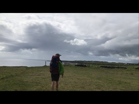
Hiking John O’ Groats to Land’s End | Daily Vlog | Day 3
Me and Di (my girlfriend) daily vlog our hiking adventure from John O' Groats to Land's End. We plan to wild camp all the way.
Nearby Amenities
Located within 500m of 58.438506,-3.1215657Have you been to Gaultiquoy?
Leave your review of Gaultiquoy below (or comments, questions and feedback).