Milldamhead
Settlement in Dumfriesshire
Scotland
Milldamhead

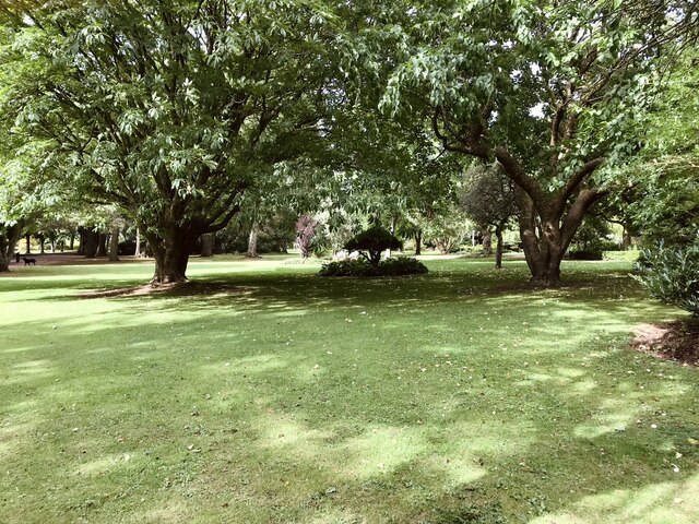
Milldamhead is a small village located in the council area of Dumfries and Galloway, Scotland. Situated in the historical county of Dumfriesshire, it lies approximately 8 miles northwest of the town of Dumfries. The village is nestled amidst scenic countryside, with rolling hills and picturesque landscapes surrounding it.
With a population of around 200 residents, Milldamhead exudes a quaint and close-knit community atmosphere. The village is primarily residential, with a few local amenities such as a post office and a small convenience store catering to the needs of its residents.
Historically, Milldamhead was known for its connection to the textile industry, with several small mills operating in the area during the 19th and early 20th centuries. However, as with many rural areas, the decline of the industry led to the closure of these mills, and the village transitioned into a predominantly residential area.
The village benefits from its proximity to the larger town of Dumfries, which provides residents with access to a wider range of amenities, including schools, healthcare facilities, and shopping centers. Despite its small size, Milldamhead is well-connected to surrounding areas through a network of roads, making it easily accessible for commuters and visitors alike.
Overall, Milldamhead offers a peaceful and idyllic lifestyle, with its stunning natural surroundings and friendly community making it an attractive place to reside.
If you have any feedback on the listing, please let us know in the comments section below.
Milldamhead Images
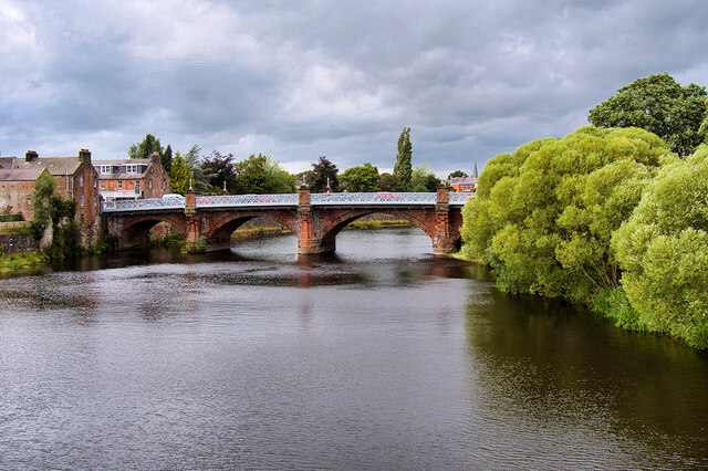
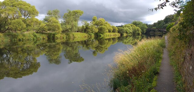
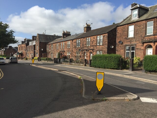
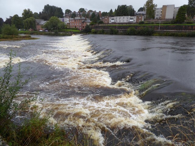
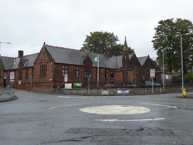
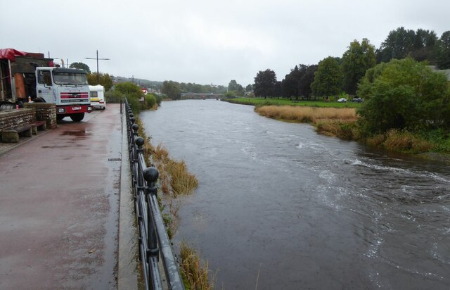
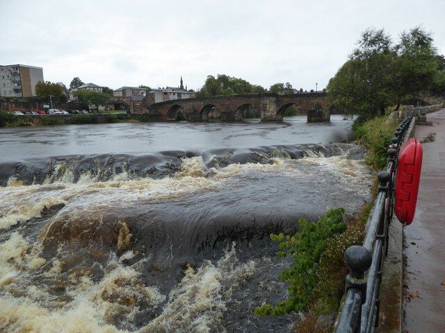
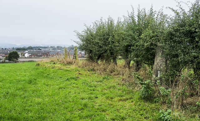
Images are sourced within 2km of 55.069461/-3.5921358 or Grid Reference NX9876. Thanks to Geograph Open Source API. All images are credited.


Milldamhead is located at Grid Ref: NX9876 (Lat: 55.069461, Lng: -3.5921358)
Unitary Authority: Dumfries and Galloway
Police Authority: Dumfries and Galloway
What 3 Words
///money.occupiers.horn. Near Dumfries, Dumfries & Galloway
Nearby Locations
Related Wikis

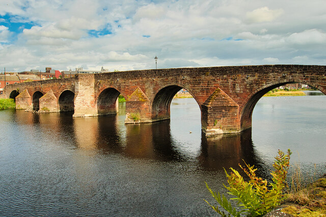
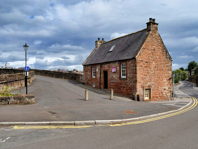
Dumfries
Dumfries ( dum-FREESS; Scots: Dumfries; from Scottish Gaelic: Dùn Phris [ˌt̪un ˈfɾʲiʃ]) is a market town and former royal burgh in Dumfries and Galloway...

Dumfries railway station
Dumfries railway station serves the town of Dumfries in Dumfries and Galloway, Scotland. It is located on the Glasgow South Western Line. The station is...

St Joseph's College, Dumfries
St Joseph's College in Dumfries, South West Scotland, is a Roman Catholic secondary school. It began as a Catholic boys' boarding school run by Marist...
Greyfriars, Dumfries
Greyfriars, Dumfries, was a friary of the Friars Minor, commonly known as the Franciscans, established in Dumfries, Scotland. Following dissolution the...
Nearby Amenities
Located within 500m of 55.069461,-3.5921358Have you been to Milldamhead?
Leave your review of Milldamhead below (or comments, questions and feedback).