Maes Maelor
Settlement in Flintshire
Wales
Maes Maelor

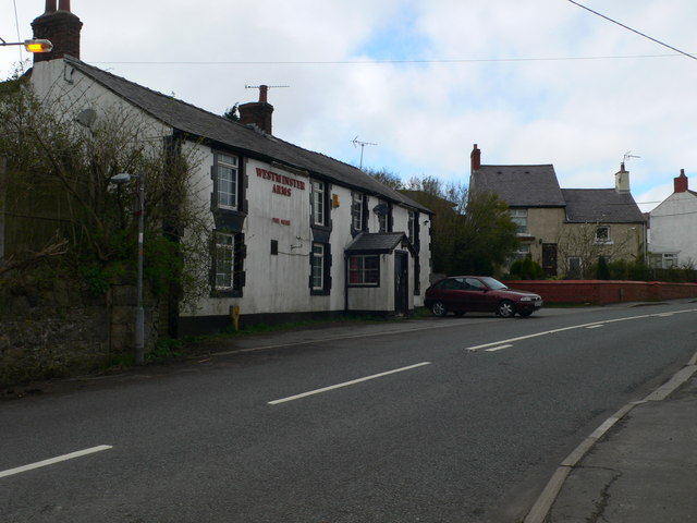
Maes Maelor is a small village located in Flintshire, Wales. Situated near the border with England, the village is nestled in a picturesque rural setting, surrounded by rolling hills and lush green fields. With a population of around 500 residents, Maes Maelor offers a tranquil and close-knit community atmosphere.
The village boasts a rich history, with evidence of human settlement dating back to prehistoric times. The nearby ruins of a medieval castle, Castell Dinas Bran, serve as a reminder of the area's ancient past. In more recent history, Maes Maelor was primarily an agricultural community, with farming playing a vital role in the local economy.
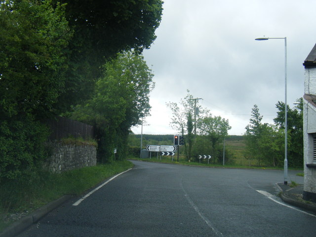
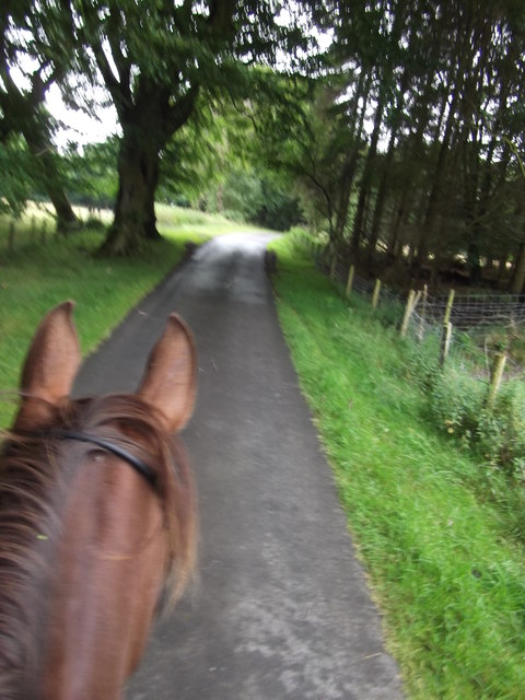
Today, Maes Maelor is a popular destination for outdoor enthusiasts and nature lovers. The village is blessed with an abundance of natural beauty, including several scenic walking trails that offer breathtaking views of the surrounding countryside. The nearby River Dee also provides opportunities for fishing and boating.
Despite its rural setting, Maes Maelor is well connected to neighboring towns and cities. The village is conveniently located near major road networks, making it easily accessible by car. Additionally, public transportation options are available, with regular bus services connecting Maes Maelor to nearby areas.
In terms of amenities, Maes Maelor has a small but vibrant community center, which serves as a hub for local activities and events. The village also has a primary school, ensuring that education needs are met for the younger population. For shopping and other services, residents can access nearby towns and cities.
Overall, Maes Maelor offers a peaceful and idyllic setting, making it an attractive place to live for those seeking a slower-paced lifestyle amidst stunning natural surroundings.
If you have any feedback on the listing, please let us know in the comments section below.
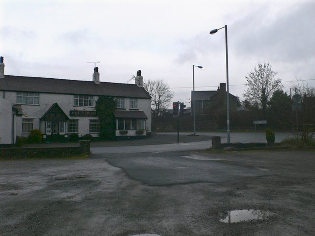
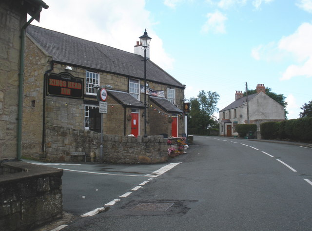
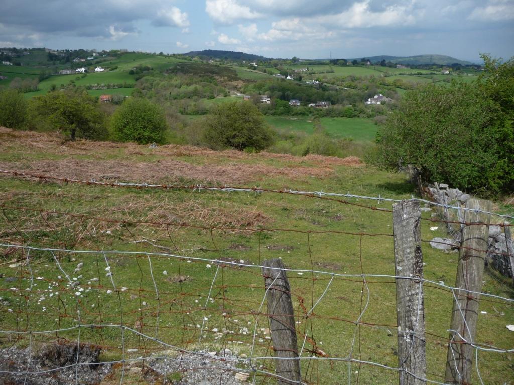
Maes Maelor Images
Images are sourced within 2km of 53.073938/-3.1277056 or Grid Reference SJ2453. Thanks to Geograph Open Source API. All images are credited.


Maes Maelor is located at Grid Ref: SJ2453 (Lat: 53.073938, Lng: -3.1277056)
Unitary Authority: Flintshire
Police Authority: North Wales
What 3 Words
///elect.typical.social. Near Brymbo, Wrexham
Nearby Locations
Related Wikis

Gwynfryn, Wrexham
Gwynfryn is a hill-top village in the community of Minera in Wrexham County Borough, Wales. Its name, originally that of the village chapel, is formed...
Rhydtalog
Rhydtalog is a small, isolated village in Flintshire, Wales. It lies in hilly country on the border with Denbighshire in the community of Treuddyn. The...
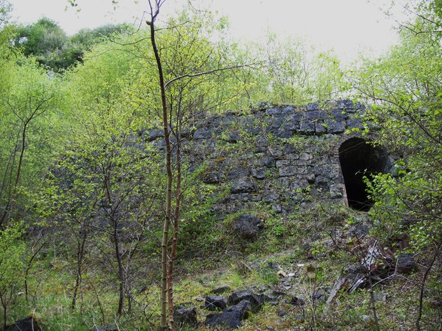
Minera Limeworks
The Minera Limeworks were extensive lime quarries and kilns at Minera in Wrexham, Wales. It was located at grid reference SJ253520, near the villages...

Ogof Dydd Byraf
Ogof Dydd Byraf is a cave which extends under Esclusham Mountain in the north-east Wales from its entrance in the south face of the Minera Limeworks quarry...
Bwlchgwyn
Bwlchgwyn (Welsh: Bwlch-gwyn) is a village in Wrexham County Borough, Wales, on the A525 road, 5 miles (8 km) west of the city of Wrexham and 10 miles...

Llandegla Forest
Llandegla Forest (Welsh: Coed Llandegla) is a forest of planted conifers covering 2.5 sq miles (6.5 km2) in Denbighshire, north-east Wales. It is situated...
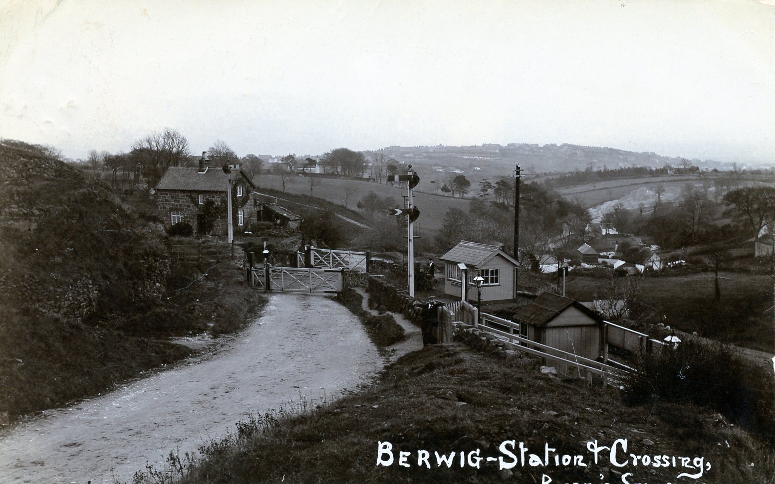
Berwig Halt railway station
Berwig Halt railway station was a station in Minera, Wrexham, Wales. The station was opened on 1 May 1905 and closed on 1 January 1931.The location of...
Minera
Minera (Welsh: Mwynglawdd; ) is a village and community in Wrexham County Borough, Wales. It adjoins the village of Coedpoeth. The community, which in...
Nearby Amenities
Located within 500m of 53.073938,-3.1277056Have you been to Maes Maelor?
Leave your review of Maes Maelor below (or comments, questions and feedback).