Nant-y-Ffrith Reservoir
Lake, Pool, Pond, Freshwater Marsh in Denbighshire
Wales
Nant-y-Ffrith Reservoir

Nant-y-Ffrith Reservoir is a freshwater lake located in the county of Denbighshire, Wales. It is situated in the picturesque valley of Nant-y-Ffrith, near the village of Cynwyd. The reservoir covers an area of approximately 10 hectares and is surrounded by beautiful rolling hills and lush greenery.
The reservoir was created in the early 1900s to supply water to the local area. It is fed by several small streams and springs that flow down from the surrounding hills. The water is clean and clear, providing a habitat for a variety of aquatic plants and animals.
The lake itself is an important site for birdwatching, with several species of waterfowl and wading birds making it their home. Visitors can often spot ducks, geese, herons, and even the occasional swan. The surrounding area is also rich in wildlife, with numerous walking trails and nature reserves offering the opportunity to observe a range of flora and fauna.
Nant-y-Ffrith Reservoir is a popular spot for fishing enthusiasts, who can enjoy angling for trout and perch in its calm waters. There are several designated fishing spots along the shore, and permits can be obtained locally.
With its tranquil atmosphere and stunning natural surroundings, Nant-y-Ffrith Reservoir is a haven for those seeking peace and relaxation. Whether it's a leisurely stroll along its shores, birdwatching, or casting a line in the water, this reservoir offers a wonderful escape into nature.
If you have any feedback on the listing, please let us know in the comments section below.
Nant-y-Ffrith Reservoir Images
Images are sourced within 2km of 53.069725/-3.1301477 or Grid Reference SJ2453. Thanks to Geograph Open Source API. All images are credited.


Nant-y-Ffrith Reservoir is located at Grid Ref: SJ2453 (Lat: 53.069725, Lng: -3.1301477)
Unitary Authority: Denbighshire
Police Authority: North Wales
What 3 Words
///vitamins.troubles.taller. Near Brymbo, Wrexham
Nearby Locations
Related Wikis

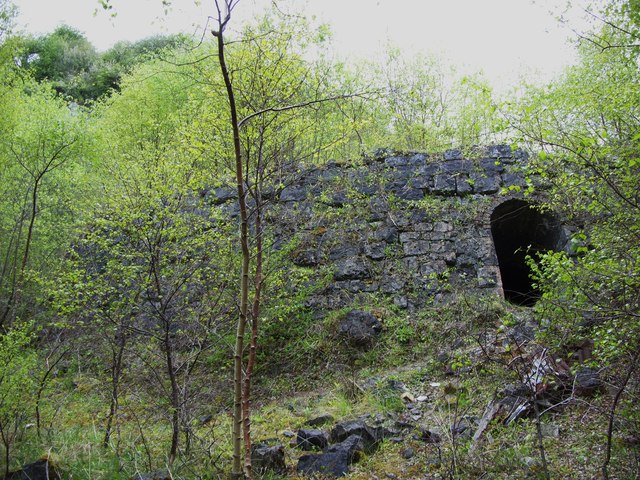
Minera Limeworks
The Minera Limeworks were extensive lime quarries and kilns at Minera in Wrexham, Wales. It was located at grid reference SJ253520, near the villages...

Llandegla Forest
Llandegla Forest (Welsh: Coed Llandegla) is a forest of planted conifers covering 2.5 sq miles (6.5 km2) in Denbighshire, north-east Wales. It is situated...

Ogof Dydd Byraf
Ogof Dydd Byraf is a cave which extends under Esclusham Mountain in the north-east Wales from its entrance in the south face of the Minera Limeworks quarry...
Gwynfryn, Wrexham
Gwynfryn is a hill-top village in the community of Minera in Wrexham County Borough, Wales. Its name, originally that of the village chapel, is formed...
Nearby Amenities
Located within 500m of 53.069725,-3.1301477Have you been to Nant-y-Ffrith Reservoir?
Leave your review of Nant-y-Ffrith Reservoir below (or comments, questions and feedback).