Choin
Lake, Pool, Pond, Freshwater Marsh in Orkney
Scotland
Choin
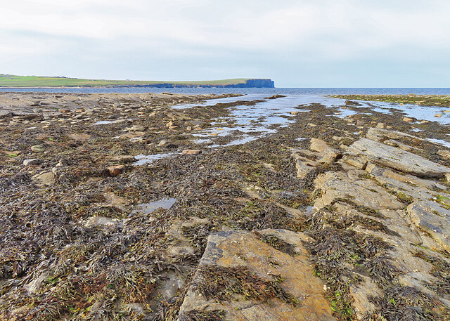
Choin is a serene freshwater marsh located in the picturesque region of Orkney, Scotland. Nestled amidst the rolling hills and lush greenery, this enchanting natural feature is often referred to as a lake, pool, pond, or freshwater marsh, owing to its diverse characteristics.
Covering an area of approximately 5 acres, Choin is a shallow body of water that attracts both locals and tourists alike. Its crystal-clear waters are fed by a combination of rainfall, springs, and small streams that meander through the surrounding landscape. The marshy terrain surrounding the waterbody is home to an abundance of aquatic plants, including reeds, rushes, and water lilies, which add to the marsh's captivating charm.
Choin is renowned for its rich biodiversity, hosting a variety of fish species such as brown trout, pike, and perch, making it a prime spot for anglers seeking a tranquil fishing experience. The marsh also serves as a vital habitat for numerous bird species, including ducks, swans, and herons, which can often be spotted gracefully gliding across the water's surface or foraging along the marshy banks.
Visitors to Choin can enjoy leisurely walks along the well-maintained footpaths that wind their way around the water's edge, offering panoramic views of the surrounding landscape and the opportunity to observe the abundant wildlife. The marsh's tranquil ambiance and picturesque setting make it an ideal location for birdwatching, photography, and simply immersing oneself in the beauty of nature.
Overall, Choin in Orkney is a captivating freshwater marsh that showcases the natural wonders and diverse ecosystems of the region, providing a peaceful retreat for both nature enthusiasts and those seeking solace in the midst of Scotland's breathtaking scenery.
If you have any feedback on the listing, please let us know in the comments section below.
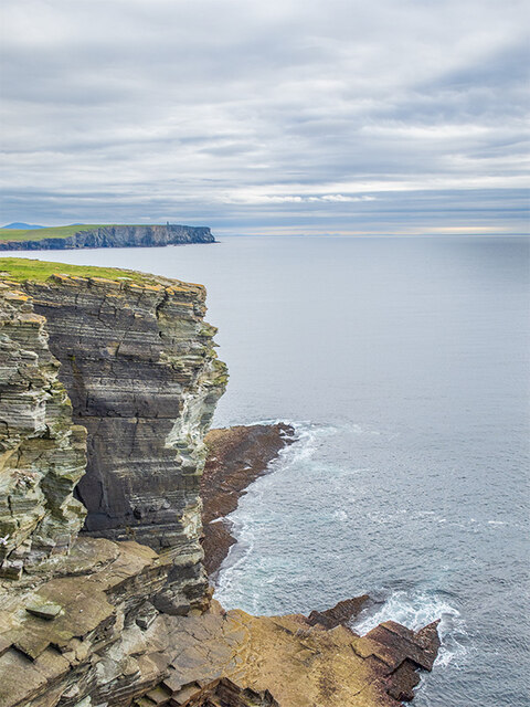
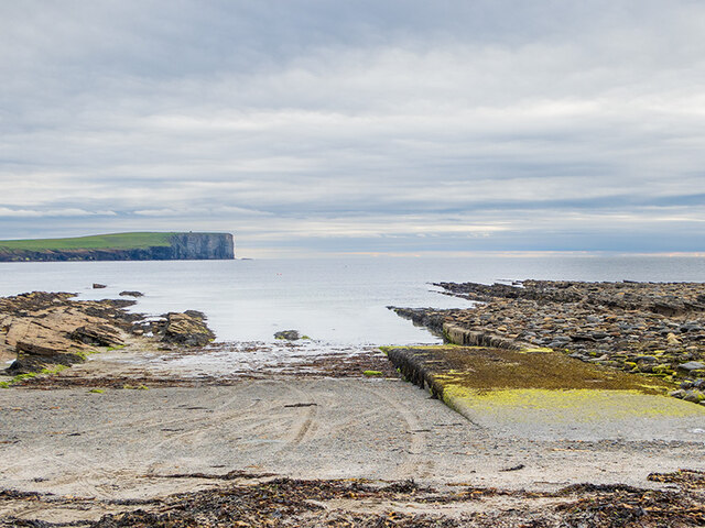
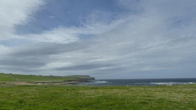
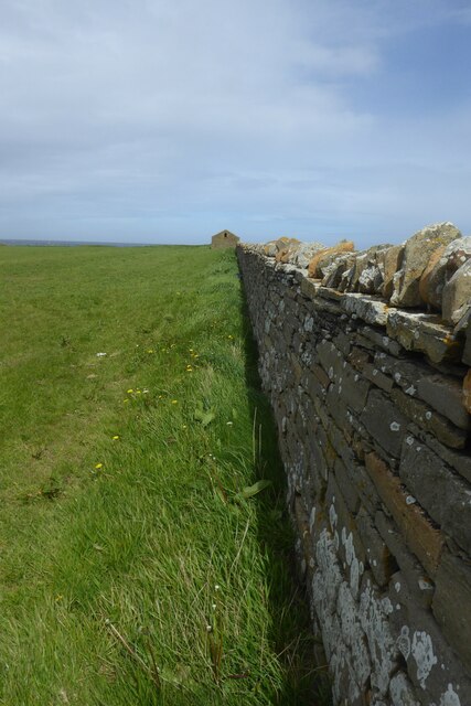
Choin Images
Images are sourced within 2km of 59.124585/-3.3227222 or Grid Reference HY2427. Thanks to Geograph Open Source API. All images are credited.
Choin is located at Grid Ref: HY2427 (Lat: 59.124585, Lng: -3.3227222)
Unitary Authority: Orkney Islands
Police Authority: Highlands and Islands
What 3 Words
///sports.notch.zealous. Near Birsay, Orkney Islands
Nearby Locations
Related Wikis

St Magnus Church, Birsay
St Magnus Church, Birsay is a 17th century church located in the parish of Birsay on Mainland, Orkney in Scotland. Built in 1664 on the site of an earlier...

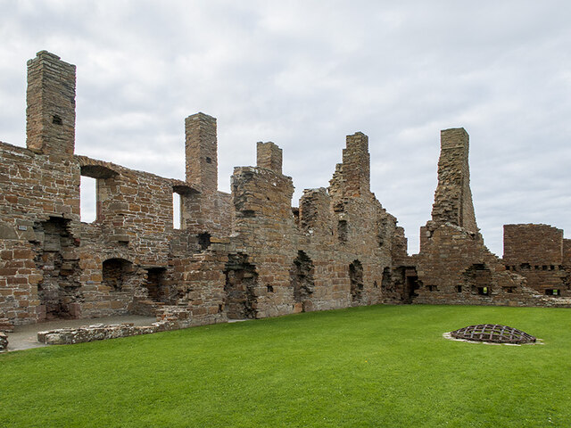
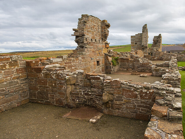
Earl's Palace, Birsay
The Earl's Palace in Birsay, Orkney, Scotland, is a ruined 16th-century castle. It was built by Robert Stewart, 1st Earl of Orkney (1533–1593), illegitimate...

Buckquoy spindle-whorl
The Buckquoy spindle-whorl is an Ogham-inscribed spindle-whorl dating from the Early Middle Ages, probably the 8th century, which was found in 1970 in...

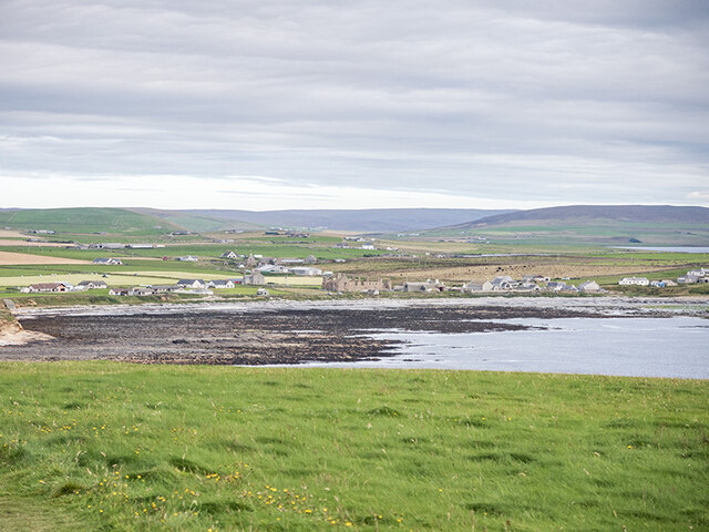
Birsay
Birsay () (Old Norse: Birgisherað) is a parish in the north west corner of The Mainland of Orkney, Scotland. Almost all the land in the parish is devoted...
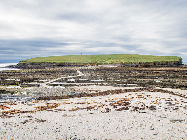
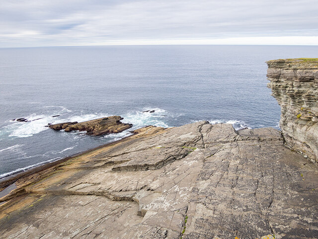
Brough of Birsay
The Brough of Birsay is an uninhabited tidal island off the north-west coast of The Mainland of Orkney, Scotland, in the parish of Birsay. It is located...

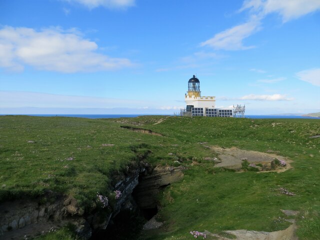
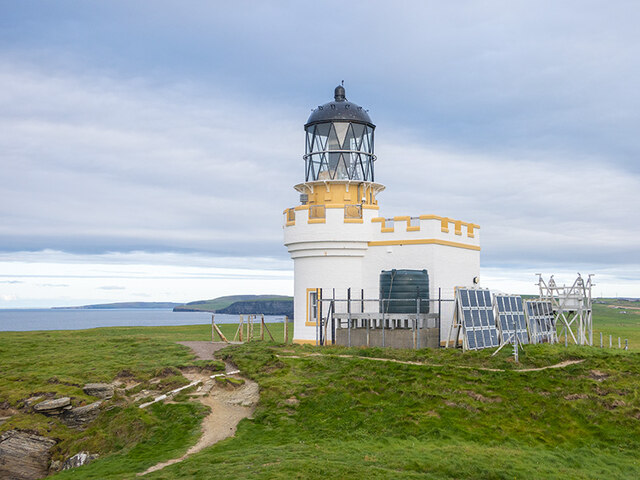
Brough of Birsay Lighthouse
The unmanned Brough of Birsay Lighthouse lighthouse was built in 1925 by David A Stevenson. It is located on the Brough of Birsay, an uninhabited tidal...

Loch of Boardhouse
The Loch of Boardhouse is a freshwater loch in the parish of Birsay in the north west of the mainland of Orkney, Scotland. It acts as a reservoir for public...

Twatt, Orkney
Twatt is a settlement in the parish of Birsay on the Mainland of Orkney, Scotland. It was previously the location of RNAS Twatt (HMS Tern), 1940–1949....
Nearby Amenities
Located within 500m of 59.124585,-3.3227222Have you been to Choin?
Leave your review of Choin below (or comments, questions and feedback).