Lyng Easthaugh

Settlement in Norfolk Breckland

England

Lyng Easthaugh

Road Junction
Road Junction Credit: P Gaskell

Lyng Easthaugh is a small village located in the county of Norfolk, England. Situated approximately 10 miles northwest of the city of Norwich, Lyng Easthaugh is a charming rural settlement with a population of around 500 residents.

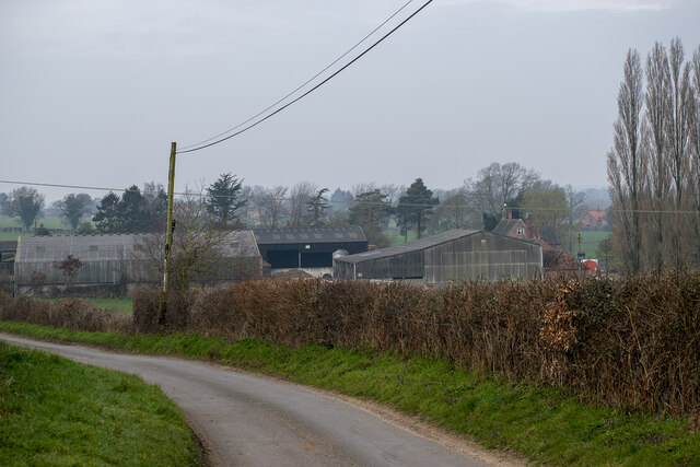
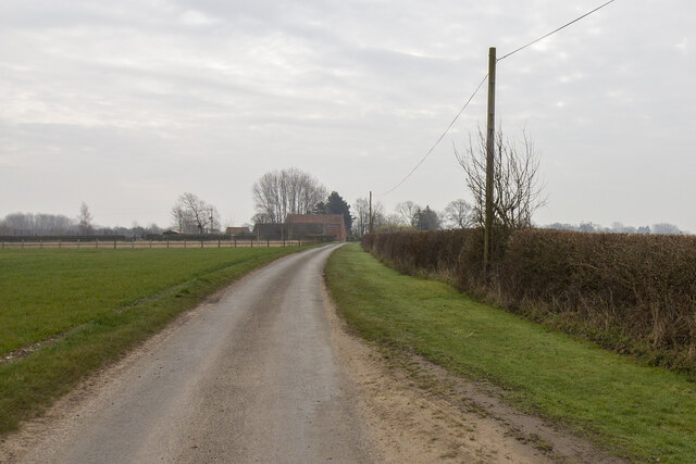
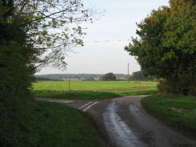
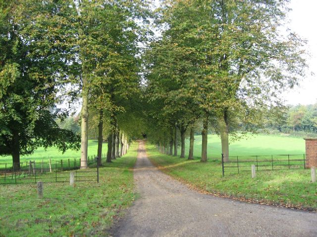
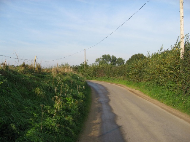
The village is known for its picturesque countryside, offering breathtaking views of rolling hills and lush green fields. It is surrounded by beautiful woodlands, making it an ideal location for nature enthusiasts and those seeking tranquility away from urban life.

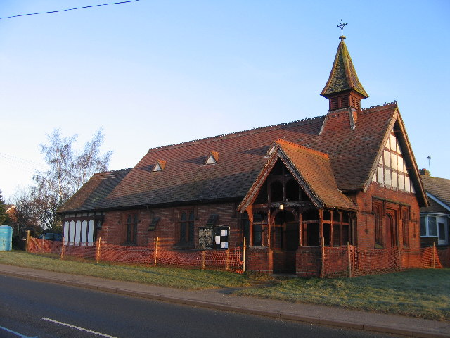
Lyng Easthaugh is home to a few historic buildings, including St. Margaret's Church, which dates back to the 14th century. The church's architecture showcases a mix of Norman and Gothic styles, attracting visitors interested in the area's rich history.

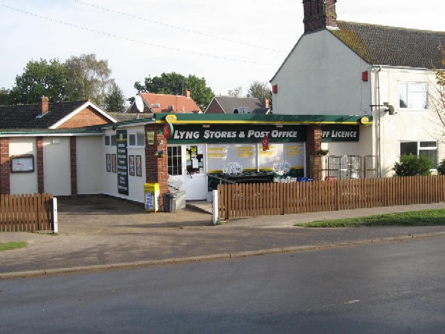
The village boasts a close-knit community, with a primary school, a local pub, and a village hall serving as central meeting points for residents. The pub, known as The Fox, offers a warm and friendly atmosphere, serving traditional British cuisine and a range of beverages.

While Lyng Easthaugh itself may be small, it benefits from its close proximity to larger towns and cities. Norwich, with its vibrant cultural scene, shopping centers, and historical sites, is easily accessible for residents seeking a wider range of amenities and entertainment options.

Overall, Lyng Easthaugh is a quiet and idyllic village, where residents can enjoy a rural lifestyle while remaining connected to the larger towns and cities nearby.

If you have any feedback on the listing, please let us know in the comments section below.

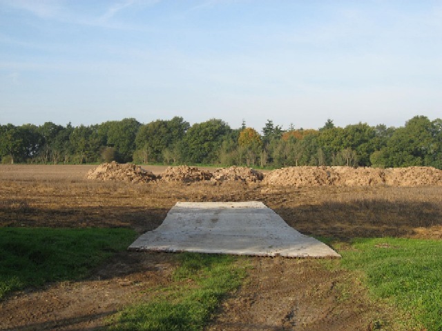
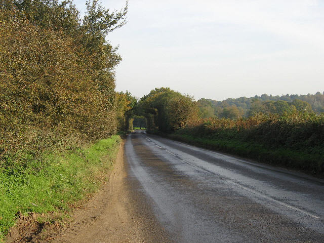
Lyng Easthaugh Images

Images are sourced within 2km of 52.715094/1.0850399 or Grid Reference TG0817. Thanks to Geograph Open Source API. All images are credited.

Road Junction
Road Junction
Walnut Tree Farm Modern farm buildings at Walnut Tree Farm
Walnut Tree Farm
Modern farm buildings at Walnut Tree Farm
Collin Green Farm Vernacular farm buildings at Collin Green Farm
Collin Green Farm
Vernacular farm buildings at Collin Green Farm
Bakers Farm Converted vernacular farm buildings at Bakers Farm
Bakers Farm
Converted vernacular farm buildings at Bakers Farm
The River Wensum at Lyng The River Wensum runs through a mill race here at Lyng.
The River Wensum at Lyng
The River Wensum runs through a mill race here at Lyng.
St. Faith's Church Lenwade <span class="nowrap"><a title="http://www.wensumgroup.org.uk/villages/lenwade.htm" rel="nofollow ugc noopener" href="http://www.wensumgroup.org.uk/villages/lenwade.htm">Link</a><img style="margin-left:2px;" alt="External link" title="External link - shift click to open in new window" src="https://s1.geograph.org.uk/img/external.png" width="10" height="10"/></span>
St. Faith's Church Lenwade
Lyng Stores And Post Office Seemingly a thriving business when compared with some Post Offices in nearby villages.
Lyng Stores And Post Office
Seemingly a thriving business when compared with some Post Offices in nearby villages.
A Turning For Lyng On the road between Collin Green Farm and Primrose Green.
A Turning For Lyng
On the road between Collin Green Farm and Primrose Green.
The  Driveway To Sparham Hall Between Lyng and Sparham.
The Driveway To Sparham Hall
Between Lyng and Sparham.
They Won't Fit In The Barn Straw bales and a barn close to Easthaugh.
They Won't Fit In The Barn
Straw bales and a barn close to Easthaugh.
The Road To Easthaugh From Ringland.
The Road To Easthaugh
From Ringland.
A Builder's Rural Yard Beside the road to Easthaugh.
A Builder's Rural Yard
Beside the road to Easthaugh.
Soil Heaps A temporary surface leads to the soil heaps beside a road near Greensgate. The heaps are believed to be excess soil removed from sugar beet after harvesting them.
Soil Heaps
A temporary surface leads to the soil heaps beside a road near Greensgate. The heaps are believed to be excess soil removed from sugar beet after harvesting them.
The Road From Lyng Looking towards Cherry Tree Farm.
The Road From Lyng
Looking towards Cherry Tree Farm.
A Road And A Drain On the way from Lyng to Willows Farm.
A Road And A Drain
On the way from Lyng to Willows Farm.
Protecting Winter Wheat The tractor is spraying winter wheat to prevent the growth of Black-grass (L. Alopecurus myosuroides), also known as black twitch, hungerweed, rat-tail grass, slender foxtail or field foxtail. In the past, straw and stubble burning after cereal harvest killed a significant proportion of any black-grass seeds but burning is no longer permitted.
Protecting Winter Wheat
The tractor is spraying winter wheat to prevent the growth of Black-grass (L. Alopecurus myosuroides), also known as black twitch, hungerweed, rat-tail grass, slender foxtail or field foxtail. In the past, straw and stubble burning after cereal harvest killed a significant proportion of any black-grass seeds but burning is no longer permitted.
The Road To Lenwade From Hockering.
The Road To Lenwade
From Hockering.
The Road To Hockering From Lenwade.
The Road To Hockering
From Lenwade.
Show me another place!

Lyng Easthaugh is located at Grid Ref: TG0817 (Lat: 52.715094, Lng: 1.0850399)

Administrative County: Norfolk

District: Breckland

Police Authority: Norfolk

What 3 Words

///epic.manhole.cackling. Near Reepham, Norfolk

Related Wikis

Sparham Pools

Sparham Pools is a 12.2-hectare (30-acre) nature reserve south of Sparham in Norfolk. It is leased and managed by the Norfolk Wildlife Trust.These former...

Lyng, Norfolk

Lyng is a village and civil parish in the English county of Norfolk. It is situated on the River Wensum, some 10 km (6.2 mi) north-east of the town of...

Lenwade

Lenwade is a village in the civil parish of Great Witchingham, Norfolk, situated in the Wensum Valley adjacent to the A1067 road 14 miles (23 km) south...

A1067 road

The A1067 is an English A road entirely in the county of Norfolk. It runs from Fakenham Northern By-Pass (A148) to Norwich inner ring road (A147). �...

Nearby Amenities

Located within 500m of 52.715094,1.0850399
Easthaugh
Place: hamlet
Source: NLS - OS 1:25k 1st Series 1937-61
Lat/Long: 52.714824/1.0851355
Post Box
Collection Times: Mo-Fr 16:00; Sa 10:15
Note: Letters only
Operator: Royal Mail
Post Box Design: hovis
Post Box Type: lamp
Ref: NR9 959
Royal Cypher: GR
Royal Cypher Wikidata: Q33102273
Lat/Long: 52.7152137/1.0857703
Power: pole
Lat/Long: 52.7118821/1.0836143
Power: pole
Lat/Long: 52.713342/1.0832299
Power: pole
Lat/Long: 52.7142545/1.0829921
Power: pole
Lat/Long: 52.7171604/1.0827836
Power: pole
Lat/Long: 52.7161384/1.0827756
Power: pole
Lat/Long: 52.7150701/1.0827729
Power: pole
Lat/Long: 52.7180418/1.0829178
Power: pole
Lat/Long: 52.7192904/1.0827863
Catch 22 Fishing Centre
Addr City: Norwich
Addr Country: GB
Addr Postcode: NR9 5BQ
Addr Street: Bunnetts Loke
Leisure: fishing
Lat/Long: 52.7171888/1.0908169
The data included in this document is from www.openstreetmap.org. The data is made available under ODbL.

Have you been to Lyng Easthaugh?

Leave your review of Lyng Easthaugh below (or comments, questions and feedback).