Lynesack

Settlement in Durham

England

Lynesack

Small paddock adjacent to house A pony in a coat of many colours is the only occupant of the small enclosure which is presumably part of the property of the house.
Small paddock adjacent to house Credit: Trevor Littlewood

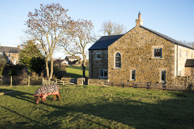
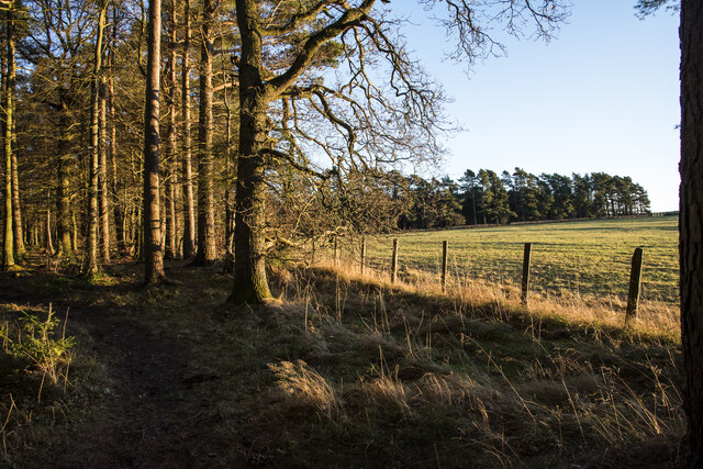
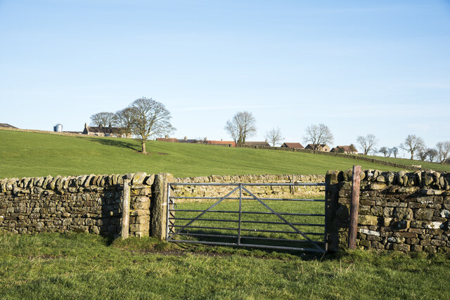
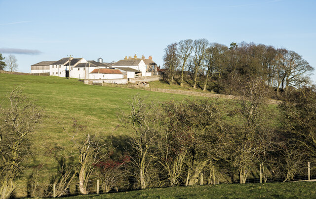
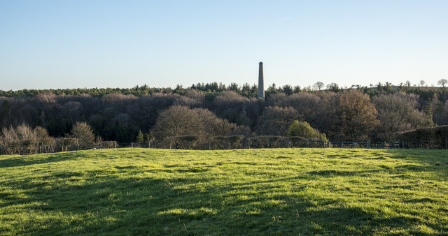
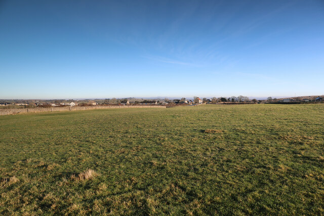
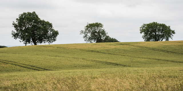
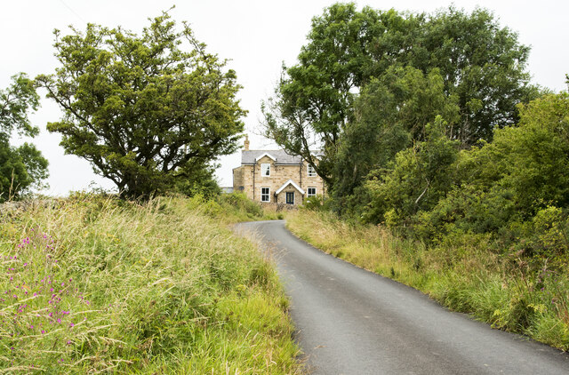
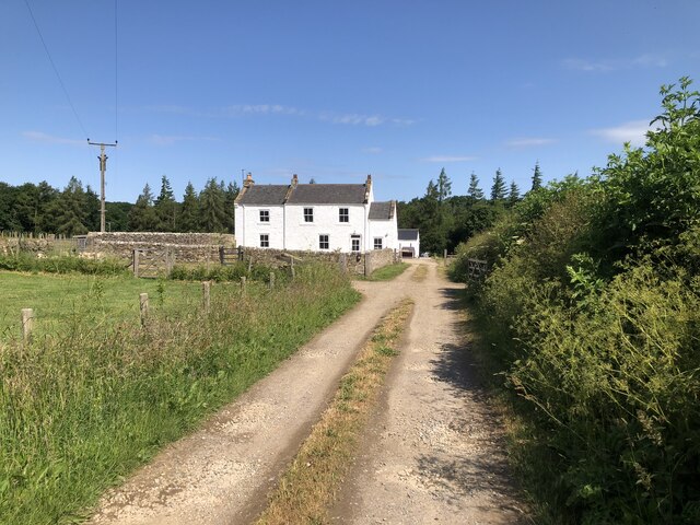
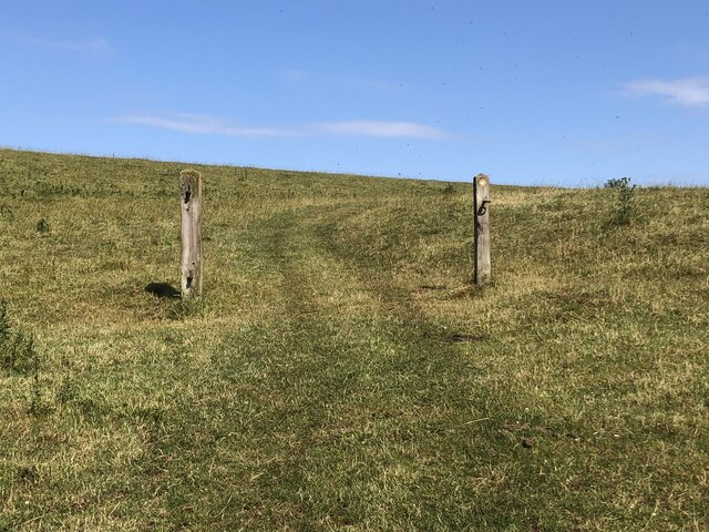
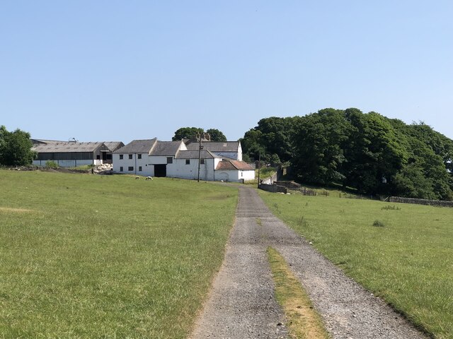
Lynesack is a small rural village located in the county of Durham, in the northeast of England. Situated approximately 9 miles west of the town of Bishop Auckland, it falls within the local government district of County Durham. The village is nestled amidst scenic countryside, with rolling hills and fields surrounding its picturesque setting.

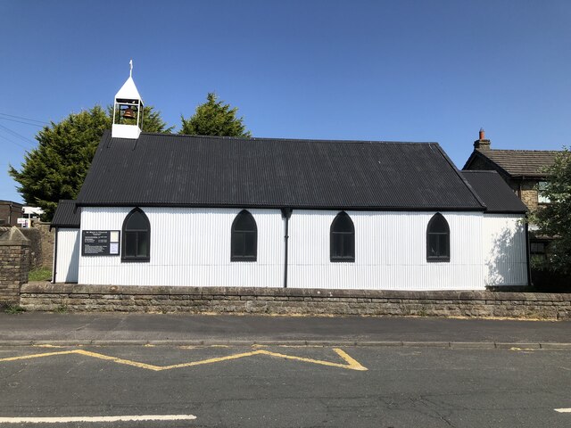
Lynesack is known for its peaceful and idyllic environment, offering residents and visitors a tranquil retreat from the bustling towns and cities nearby. The village is primarily residential, consisting of a small cluster of houses and cottages scattered along its winding lanes. The architecture reflects the area's rich history, with some buildings dating back to the 18th century.

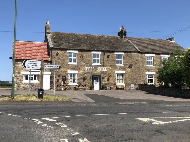
In terms of amenities, Lynesack boasts a community hall that serves as a meeting place for various social events and gatherings. Additionally, the village has a local pub, providing a cozy spot for residents to relax and socialize.

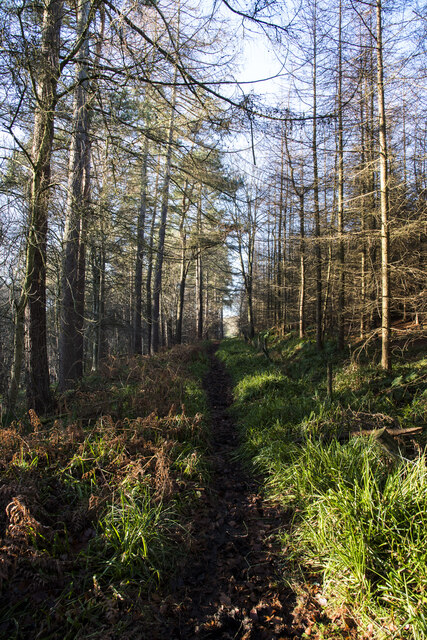
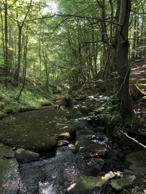
Nature enthusiasts are drawn to Lynesack due to its proximity to stunning natural landscapes. The village lies close to the North Pennines Area of Outstanding Natural Beauty, offering ample opportunities for outdoor activities such as hiking, cycling, and wildlife spotting.

While Lynesack may be small in size, its charm lies in its simplicity and close-knit community. It provides a peaceful and rural lifestyle, attracting those seeking a slower pace of life amidst the beauty of the Durham countryside.

If you have any feedback on the listing, please let us know in the comments section below.
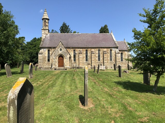
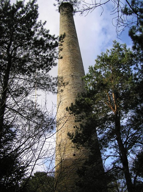
Lynesack Images

Images are sourced within 2km of 54.628657/-1.8593384 or Grid Reference NZ0925. Thanks to Geograph Open Source API. All images are credited.

Small paddock adjacent to house A pony in a coat of many colours is the only occupant of the small enclosure which is presumably part of the property of the house.
Small paddock adjacent to house
A pony in a coat of many colours is the only occupant of the small enclosure which is presumably part of the property of the house.
Path at woodland edge near to Copley Chimney The trees are at least partly those of Gibbsneese Plantation. The preserved industrial monument, Copley Chimney, part of the Gaunless Smelt Mill, is within the woods behind the camera location.
Path at woodland edge near to Copley Chimney
The trees are at least partly those of Gibbsneese Plantation. The preserved industrial monument, Copley Chimney, part of the Gaunless Smelt Mill, is within the woods behind the camera location.
Roofs of Lane Head beyond walls and gate Lane Head is a small settlement between the larger villages at Woodland and Copley. The view is from close to the line of a public footpath which passes to the left of the nearest tree and then Lynesack Farm beyond it.
Roofs of Lane Head beyond walls and gate
Lane Head is a small settlement between the larger villages at Woodland and Copley. The view is from close to the line of a public footpath which passes to the left of the nearest tree and then Lynesack Farm beyond it.
Buildings at Lunton Hill The collection of buildings constitutes perhaps just one farm; it lies just to the east of Woodland.
Buildings at Lunton Hill
The collection of buildings constitutes perhaps just one farm; it lies just to the east of Woodland.
Hedged field on south side of Copley The ground beyond the small field drops away to the River Gaunless.
The woodland beyond has the grade II listed Copley Chimney which was at the end of a flue rising from the Gaunless Smelt Mill, some remains of which are in the valley.
Hedged field on south side of Copley
The ground beyond the small field drops away to the River Gaunless. The woodland beyond has the grade II listed Copley Chimney which was at the end of a flue rising from the Gaunless Smelt Mill, some remains of which are in the valley.
Bridleway through Cowclose Plantation The path heading west through the plantation on the north side of the River Gaunless. It's attractive enough but being a bridleway its surface is pitted with small hollows having been trodden by horses.
Although named as a plantation the trees are well separated and give the impression of being natural woodland.
Bridleway through Cowclose Plantation
The path heading west through the plantation on the north side of the River Gaunless. It's attractive enough but being a bridleway its surface is pitted with small hollows having been trodden by horses. Although named as a plantation the trees are well separated and give the impression of being natural woodland.
Field corner by Copley Lane Taken from almost the only public footpath in the square, this view from the Copley Bent Farm access track looks to the corner of the field which it crosses, adjacent to Copley Lane.  Beyond that lie the houses of Copley Bent itself.
Field corner by Copley Lane
Taken from almost the only public footpath in the square, this view from the Copley Bent Farm access track looks to the corner of the field which it crosses, adjacent to Copley Lane. Beyond that lie the houses of Copley Bent itself.
Ripening wheat with trees beyond The field lies to the south of South Wood and is probably land owned at Softley Farm.
Ripening wheat with trees beyond
The field lies to the south of South Wood and is probably land owned at Softley Farm.
Road climbing towards Raine's House The road climbs from Butterknowle continuing beyond Raine's House to Softley Farm. It's shown on OS maps as the route of a public footpath.
Road climbing towards Raine's House
The road climbs from Butterknowle continuing beyond Raine's House to Softley Farm. It's shown on OS maps as the route of a public footpath.
Former Lead Smelting Mill Chimney, Copley Gaunless lead smelting mill operated from 1770 to 1870. Only the chimney remains and it is Grade II listed.
Former Lead Smelting Mill Chimney, Copley
Gaunless lead smelting mill operated from 1770 to 1870. Only the chimney remains and it is Grade II listed.
Track through Gibbsneese Plantation
Steele House Farm
Steele House Farm
Hindon Beck Hindon beck in Cowclose Wood. The confluence of Hindon Beck and Arn Gill 500 m downstream forms the start of the River Gaunless.
Hindon Beck
Hindon beck in Cowclose Wood. The confluence of Hindon Beck and Arn Gill 500 m downstream forms the start of the River Gaunless.
Former field boundary marked by redundant gateposts
St Mary's Church, Woodland
The Edge Hotel, Woodland
Lunton Hill Farm
Lunton Hill Farm
Church Of St John The Evangelist Grade II listed church of 1847 .
Church Of St John The Evangelist
Grade II listed church of 1847 .
Show me another place!

Lynesack is located at Grid Ref: NZ0925 (Lat: 54.628657, Lng: -1.8593384)

Unitary Authority: County Durham

Police Authority: Durham

What 3 Words

///invoices.recline.films. Near Cockfield, Co. Durham

Nearby Locations

Lynesack

Related Wikis

Copley, County Durham

Copley is a village of roughly 400 inhabitants in County Durham, England. It is situated 9 miles west of Bishop Auckland, and 6 miles from Barnard Castle...

Morley, County Durham

Morley is a village in County Durham, England. It is situated five miles to the west of Bishop Auckland (OS grid reference NZ 1127). Morley is first mentioned...

Butterknowle

Butterknowle is a village in Teesdale, County Durham, England. Butterknowle is situated between the market towns of Bishop Auckland (9 miles to the east...

South Side, County Durham

South Side is a village in County Durham, in England. It is situated to the north of Butterknowle, a few miles west of Bishop Auckland. == References... ==

Nearby Amenities

Located within 500m of 54.628657,-1.8593384
Bus Stop
Hamlet
Naptan AtcoCode: 13007430C
Naptan Bearing: E
Naptan BusStopType: MKD
Naptan CommonName: Hamlet
Naptan Indicator: E-bound
Naptan NaptanCode: durdwjwd
Naptan Notes: The OLd School House- Lynesack
Naptan RevisionNumber: 3
Naptan Street: Unclassified Road
Naptan Verified: no
Old Name: Bus stop
Source: naptan_import
Lat/Long: 54.6286752/-1.8595991
Bus Stop
Hamlet
Naptan AtcoCode: 13007430G
Naptan Bearing: W
Naptan BusStopType: MKD
Naptan CommonName: Hamlet
Naptan Indicator: W-bound
Naptan NaptanCode: durdwjwg
Naptan Notes: Opposite Marr House- Lynesack
Naptan RevisionNumber: 3
Naptan Street: Unclassified Road
Naptan Verified: no
Old Name: Bus stop
Source: naptan_import
Lat/Long: 54.6286382/-1.8586853
Bus Stop
Bus stop
Naptan AtcoCode: 13007445G
Naptan Bearing: W
Naptan CommonName: Bus stop
Naptan Indicator: west bound
Naptan Landmark: Landmark not known
Naptan NaptanCode: durdwmgt
Naptan Notes: 18 Meters East of The Hill lynesack
Naptan Street: Street not known
Naptan Verified: no
Source: naptan_import
Lat/Long: 54.6288307/-1.8542855
Bus Stop
Grewburn Lane
Naptan AtcoCode: 13007446A
Naptan Bearing: N
Naptan BusStopType: MKD
Naptan CommonName: Grewburn Lane
Naptan Indicator: N-bound
Naptan NaptanCode: durdwmgw
Naptan Notes: Northeast f 3a Grewburn Lane- Lynesack
Naptan RevisionNumber: 3
Naptan Street: Grewburn Lane
Naptan Verified: no
Old Name: Bus stop
Source: naptan_import
Lat/Long: 54.6266994/-1.8607831
Bus Stop
Grewburn Lane
Naptan AtcoCode: 13007446E
Naptan Bearing: S
Naptan BusStopType: MKD
Naptan CommonName: Grewburn Lane
Naptan Indicator: S-bound
Naptan NaptanCode: durdwmja
Naptan Notes: 3a Grewburn Lane- Lynesack
Naptan RevisionNumber: 3
Naptan Street: Grewburn Lane
Naptan Verified: no
Old Name: Bus stop
Source: naptan_import
Lat/Long: 54.6264657/-1.8607529
Historic: mine_shaft
Source: OS 1:25k
Lat/Long: 54.6244416/-1.8602531
Lynesack
Place: hamlet
Wikidata: Q21875751
Lat/Long: 54.6287315/-1.8598454
Entrance: main
Lat/Long: 54.630185/-1.860836
Power: pole
Transformer: distribution
Lat/Long: 54.6284222/-1.8593006
Power: pole
Lat/Long: 54.6266327/-1.859656
Power: pole
Lat/Long: 54.632698/-1.8582304
Power: pole
Lat/Long: 54.6317603/-1.858453
Power: pole
Lat/Long: 54.6308023/-1.8586743
Power: pole
Lat/Long: 54.629613/-1.8589613
Power: pole
Lat/Long: 54.6284237/-1.8592429
Power: pole
Lat/Long: 54.6274936/-1.8594736
Barrier: stile
Lat/Long: 54.628527/-1.8615899
Howle Farm
Addr City: Bishop Auckland
Addr Postcode: DL13 5QG
Addr Suburb: Butterknowle
Place: farm
Source Name: OS OpenData StreetView
Source Postcode: CodePoint Open
Lat/Long: 54.6286877/-1.8647696
East Howle Farm
Place: farm
Source Name: OS OpenData StreetView
Lat/Long: 54.6287327/-1.865404
Barrier: stile
Lat/Long: 54.6277472/-1.8661724
The data included in this document is from www.openstreetmap.org. The data is made available under ODbL.

Have you been to Lynesack?

Leave your review of Lynesack below (or comments, questions and feedback).