The Grove
Wood, Forest in Norfolk Breckland
England
The Grove
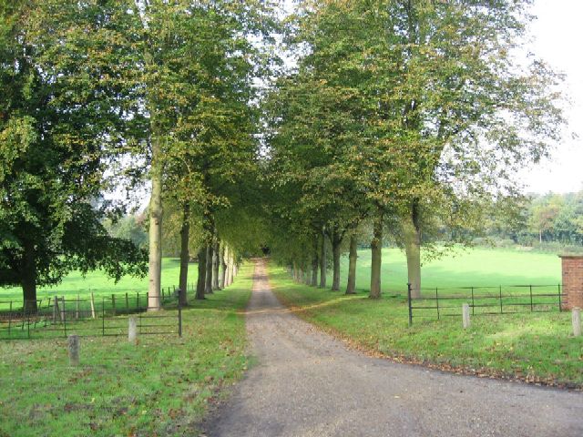
The Grove, located in Norfolk, England, is a picturesque woodland area known for its lush and thriving forest. Situated in the heart of the county, The Grove is a haven for nature enthusiasts and outdoor adventurers alike.
Covering an expansive area, The Grove boasts a wide variety of tree species, including oak, beech, and birch, which create a dense canopy overhead. The forest floor is adorned with vibrant carpets of wildflowers, adding to the area's natural beauty.
Visitors to The Grove can enjoy a range of activities, such as walking, hiking, and birdwatching. The numerous well-maintained trails wind through the woods, offering a chance to explore the diverse flora and fauna that call this woodland home. Birdwatchers can spot a variety of species, including woodpeckers, owls, and jays.
The Grove is also home to a rich ecosystem, with a number of small mammals, such as foxes, rabbits, and squirrels, inhabiting the area. The forest provides these creatures with a safe haven, allowing them to thrive in their natural habitat.
In addition to its natural beauty, The Grove is steeped in history. The woodland has been a part of the Norfolk landscape for centuries and has witnessed many significant events. The area is dotted with ancient trees, some of which are believed to be hundreds of years old, adding a sense of timelessness to the surroundings.
Overall, The Grove in Norfolk is a captivating and enchanting woodland, offering visitors a chance to immerse themselves in nature, explore its trails, and discover the rich history that lies within its depths.
If you have any feedback on the listing, please let us know in the comments section below.
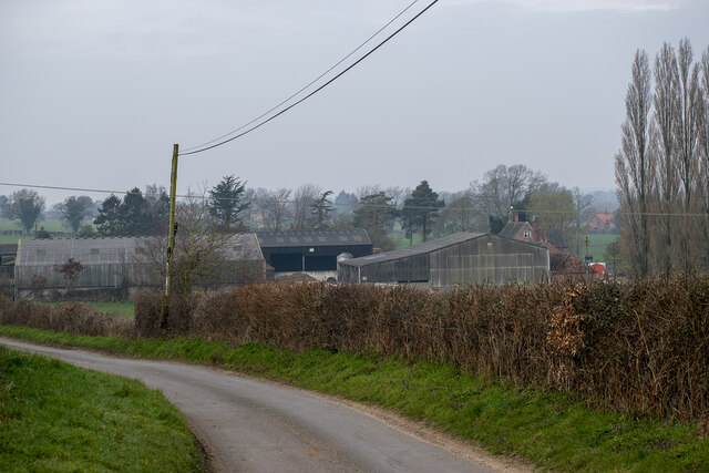
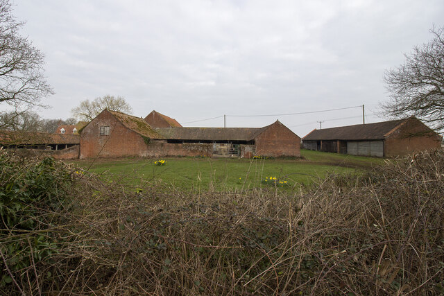
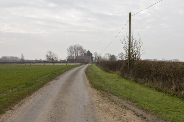
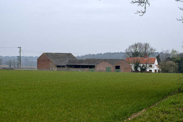
The Grove Images
Images are sourced within 2km of 52.711408/1.077746 or Grid Reference TG0817. Thanks to Geograph Open Source API. All images are credited.


The Grove is located at Grid Ref: TG0817 (Lat: 52.711408, Lng: 1.077746)
Administrative County: Norfolk
District: Breckland
Police Authority: Norfolk
What 3 Words
///squirts.rationed.cement. Near Reepham, Norfolk
Nearby Locations
Related Wikis

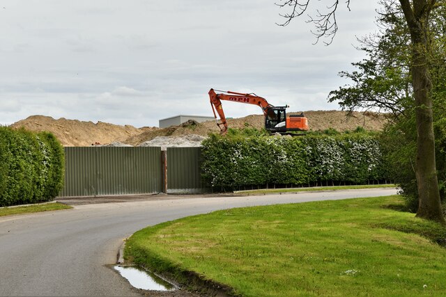
Sparham Pools
Sparham Pools is a 12.2-hectare (30-acre) nature reserve south of Sparham in Norfolk. It is leased and managed by the Norfolk Wildlife Trust.These former...

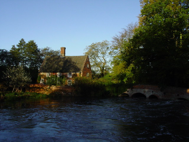
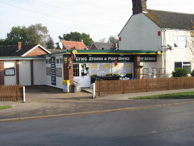
Lyng, Norfolk
Lyng is a village and civil parish in the English county of Norfolk. It is situated on the River Wensum, some 10 km (6.2 mi) north-east of the town of...

A1067 road
The A1067 is an English A road entirely in the county of Norfolk. It runs from Fakenham Northern By-Pass (A148) to Norwich inner ring road (A147). �...

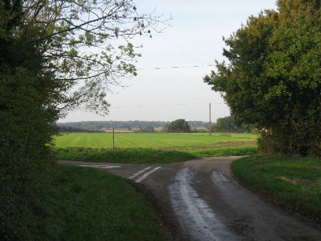
Lenwade
Lenwade is a village in the civil parish of Great Witchingham, Norfolk, situated in the Wensum Valley adjacent to the A1067 road 14 miles (23 km) south...
Nearby Amenities
Located within 500m of 52.711408,1.077746Have you been to The Grove?
Leave your review of The Grove below (or comments, questions and feedback).