Lower Eashing

Settlement in Surrey Guildford

England

Lower Eashing

Car Wash in Portsmouth Road Fond memories of that Rose Royce song: was it really 1976? However, in the 21st Century, if you get your car washed for a pittance it could well be your car washers are being exploited. Here is a link to help identify an unethical operation <span class="nowrap"><a title="https://dropless.co.uk/blog/how-to-spot-a-mistreated-car-wash-worker/" rel="nofollow ugc noopener" href="https://dropless.co.uk/blog/how-to-spot-a-mistreated-car-wash-worker/">Link</a><img style="margin-left:2px;" alt="External link" title="External link - shift click to open in new window" src="https://s1.geograph.org.uk/img/external.png" width="10" height="10"/></span>
Car Wash in Portsmouth Road Credit: Basher Eyre

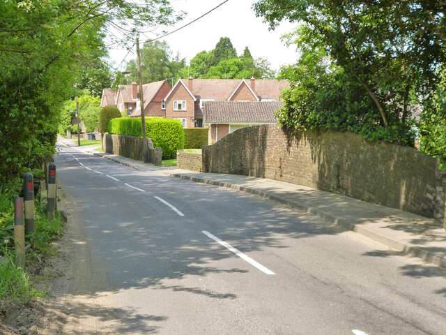
Lower Eashing is a quaint village located in the county of Surrey, England. Situated on the banks of the River Wey, it is part of the larger parish of Godalming. The village is known for its picturesque setting, surrounded by rolling hills and lush green countryside.

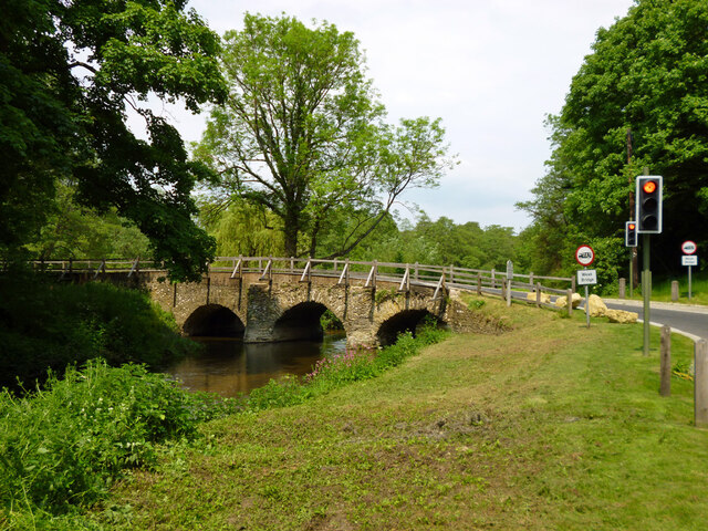
One of the highlights of Lower Eashing is its historic charm. The village is home to several well-preserved buildings dating back to the 16th and 17th centuries, giving it a unique character. The most notable of these is the Eashing Bridge, a Grade II listed structure that spans the river. Built in the 18th century, it is an important landmark and a popular spot for visitors to admire the scenic views.

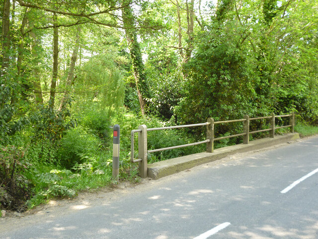
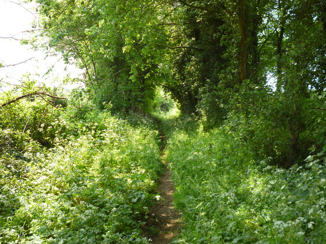
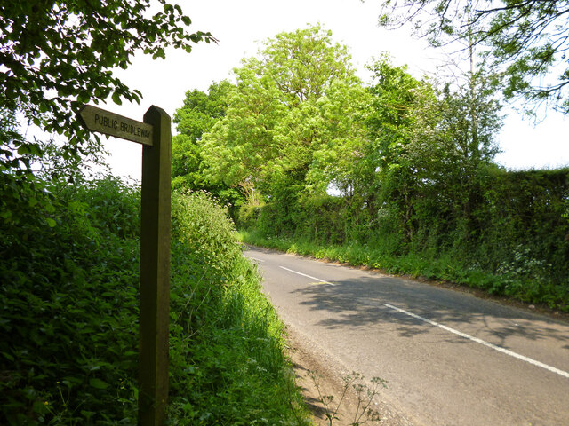
Nature lovers will also find plenty to enjoy in Lower Eashing. The surrounding area offers numerous walking trails and nature reserves, providing opportunities for outdoor activities and wildlife spotting. The River Wey Navigation, which runs through the village, is particularly popular for boating and fishing.

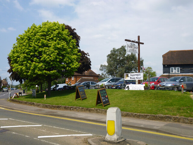
Despite its tranquil setting, Lower Eashing benefits from its proximity to the town of Godalming, which is just a short distance away. This provides residents with easy access to amenities such as shops, schools, and healthcare facilities.

Overall, Lower Eashing is a charming village that offers a peaceful and idyllic lifestyle for its residents. With its rich history, natural beauty, and convenient location, it is a hidden gem in the heart of Surrey.

If you have any feedback on the listing, please let us know in the comments section below.

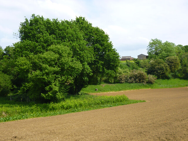
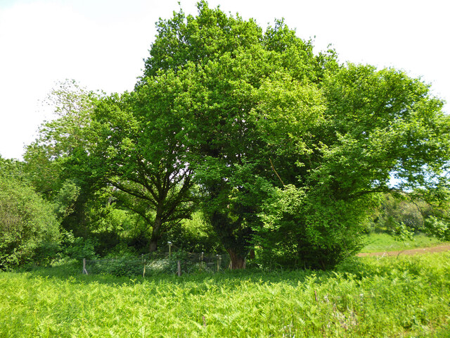
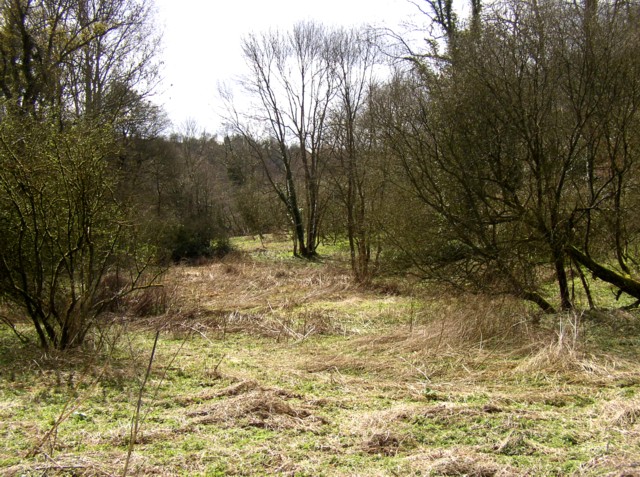
Lower Eashing Images

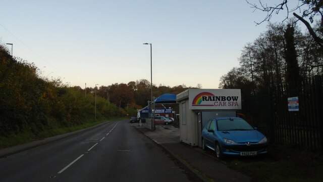
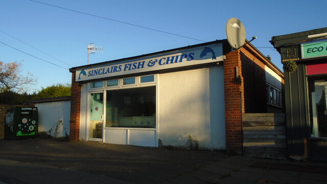
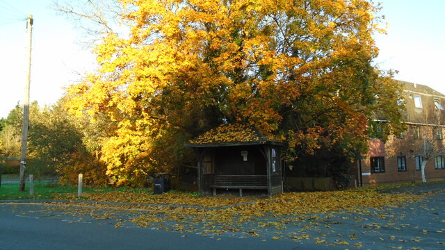
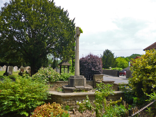
Images are sourced within 2km of 51.187198/-0.65055338 or Grid Reference SU9443. Thanks to Geograph Open Source API. All images are credited.

Car Wash in Portsmouth Road Fond memories of that Rose Royce song: was it really 1976? However, in the 21st Century, if you get your car washed for a pittance it could well be your car washers are being exploited. Here is a link to help identify an unethical operation <span class="nowrap"><a title="https://dropless.co.uk/blog/how-to-spot-a-mistreated-car-wash-worker/" rel="nofollow ugc noopener" href="https://dropless.co.uk/blog/how-to-spot-a-mistreated-car-wash-worker/">Link</a><img style="margin-left:2px;" alt="External link" title="External link - shift click to open in new window" src="https://s1.geograph.org.uk/img/external.png" width="10" height="10"/></span>
Car Wash in Portsmouth Road
Fond memories of that Rose Royce song: was it really 1976? However, in the 21st Century, if you get your car washed for a pittance it could well be your car washers are being exploited. Here is a link to help identify an unethical operation LinkExternal link
Chippie in Portsmouth Road Fish and chip shops are a great British institution. In the 16th century Iberian refugees in London began selling white fish fried in a thin coat of flour. Friday became a particularly busy day as both Jews and Catholics wanted cooked fish that day. A hundred years later, Hugenots brought their fondness for fried potato to the capital. Joseph Malin opened the first chippy in Bethnal Green during the 1860s. Today there are more than 10,000 in England alone.
Chippie in Portsmouth Road
Fish and chip shops are a great British institution. In the 16th century Iberian refugees in London began selling white fish fried in a thin coat of flour. Friday became a particularly busy day as both Jews and Catholics wanted cooked fish that day. A hundred years later, Hugenots brought their fondness for fried potato to the capital. Joseph Malin opened the first chippy in Bethnal Green during the 1860s. Today there are more than 10,000 in England alone.
Bus stop at the junction of Guildford and Portsmouth Roads Bus stops range from a simple sign with the number of the bus and the company operating the service to elaborate structures that have an architectural pedigree all of their own. These days they are often linked via computer to the bus and the depot and display the waiting time in minutes.
Bus stop at the junction of Guildford and Portsmouth Roads
Bus stops range from a simple sign with the number of the bus and the company operating the service to elaborate structures that have an architectural pedigree all of their own. These days they are often linked via computer to the bus and the depot and display the waiting time in minutes.
Milford - war memorial By St. John's church on Church Road.
Milford - war memorial
By St. John's church on Church Road.
Tomb, St. John's churchyard, Milford Several Webbs.
Tomb, St. John's churchyard, Milford
Several Webbs.
St. John's church, Milford
Milford Club, Church Road CIU affiliated.
Milford Club, Church Road
CIU affiliated.
Cut mark on Station Lane bridge over River Ock East parapet south end, 50.025 m above datum.
Cut mark on Station Lane bridge over River Ock
East parapet south end, 50.025 m above datum.
East parapet, Station Lane bridge over River Ock The other side of the road is just railings, suggesting the road has been widened.
East parapet, Station Lane bridge over River Ock
The other side of the road is just railings, suggesting the road has been widened.
Railings, west side of Church Lane bridge over River Ock The other side has an elderly brick parapet.
Railings, west side of Church Lane bridge over River Ock
The other side has an elderly brick parapet.
Signs, Secretts Farm Shop and Country Delicatessen
Milford Pharmacy On Portsmouth Road.
Milford Pharmacy
On Portsmouth Road.
St. Joseph's Catholic Church, Milford
Bridleway 124, Shackleford From Eashing Lane towards the A283.
Bridleway 124, Shackleford
From Eashing Lane towards the A283.
Bridleway 124 Shackleford leaves Eashing Lane
One of Eashing Bridges There are two 13th century bridges over the two routes of the River Wey here, with a causeway between them. Together they are a grade I listed building and scheduled Ancient Monument. This is the eastern bridge of three arches, the other has four.
One of Eashing Bridges
There are two 13th century bridges over the two routes of the River Wey here, with a causeway between them. Together they are a grade I listed building and scheduled Ancient Monument. This is the eastern bridge of three arches, the other has four.
Field below Eashing Farm
Disused pheasant rearing pen, Eashing Farm At least that is what it looks like - an unusually small fenced compound, netted over, with a hint of hutches through the vegetation.
Disused pheasant rearing pen, Eashing Farm
At least that is what it looks like - an unusually small fenced compound, netted over, with a hint of hutches through the vegetation.
Show me another place!

Lower Eashing is located at Grid Ref: SU9443 (Lat: 51.187198, Lng: -0.65055338)

Administrative County: Surrey

District: Guildford

Police Authority: Surrey

What 3 Words

///endearing.alarm.fits. Near Milford, Surrey

Related Wikis

Charterhouse to Eashing

Charterhouse to Eashing is a 68.4-hectare (169-acre) biological Site of Special Scientific Interest west of Godalming in Surrey.This is a steep valley...

Shackleford

Shackleford is a village and civil parish in the Borough of Guildford, Surrey, England centred to the west of the A3 between Guildford and Petersfield...

Peper Harow

Peper Harow is a rural village and civil parish in southwest Surrey close to the town of Godalming. It was a noted early cricket venue. Its easternmost...

Oxenford Farm

Oxenford Farm is a former abbey farm, a dependency of Waverley Abbey in the civil parish of Witley, Surrey, England, with several listed buildings around...

Nearby Amenities

Located within 500m of 51.187198,-0.65055338
Motorway Junction
Milford Junction
Lat/Long: 51.1829156/-0.6509378
Barrier: stile
Lat/Long: 51.186677/-0.6446711
Burh of Eashing
Historic: archaeological_site
Lat/Long: 51.1845585/-0.6451628
Bunker Type: pillbox
Military: bunker
Lat/Long: 51.190233/-0.6465822
Fuel
Eashing Service Station
Addr City: Godalming
Addr Country: GB
Addr Postcode: GU7 2QG
Addr Street: Lower Eashing
Brand: Shell
Brand Wikidata: Q110716465
Website: https://find.shell.com/gb/fuel/13042141-eashing-service-station
Wheelchair: yes
Lat/Long: 51.186975/-0.6505747
Post Box
Collection Plate: CP1
Collection Times: Mo-Fr 17:00; Sa 09:30
Last Checked: 2021-03-05
Operator: Royal Mail
Post Box Mounting: brick_pillar
Post Box Type: wall
Ref: GU7 7
Royal Cypher: EIIR
Royal Cypher Wikidata: Q33102113
Source: survey
Lat/Long: 51.1874019/-0.6505295
Booth: K6
Note: Notice of closure/adoption posted
Old Phone: +44 1483 415482
Removed Amenity: telephone
Lat/Long: 51.187408/-0.6505399
Waste Basket
Covered: no
Material: stone
Source: survey
Lat/Long: 51.1873227/-0.650607
Spar
Addr City: Eashing, Godalming
Addr Street: Guildford and Godalming Bypass
Brand: Spar
Brand Wikidata: Q610492
Description: Inside the Shell petrol station
Shop: convenience
Source: survey
Survey Date: 2024-03-24
Website: https://www.spar.co.uk/store-locator/afb19634-spar-lower-eashing
Lat/Long: 51.1869022/-0.6505148
The data included in this document is from www.openstreetmap.org. The data is made available under ODbL.

Have you been to Lower Eashing?

Leave your review of Lower Eashing below (or comments, questions and feedback).