Lower Claverham

Settlement in Somerset

England

Lower Claverham

Yatton Church looking NW over grid square ST4365 View from SE corner of grid square ST4365 looking NW.  Parish church, also in this grid can be seen in middle distance.  Village also visible between trees.
Yatton Church looking NW over grid square ST4365 Credit: FollowMeChaps

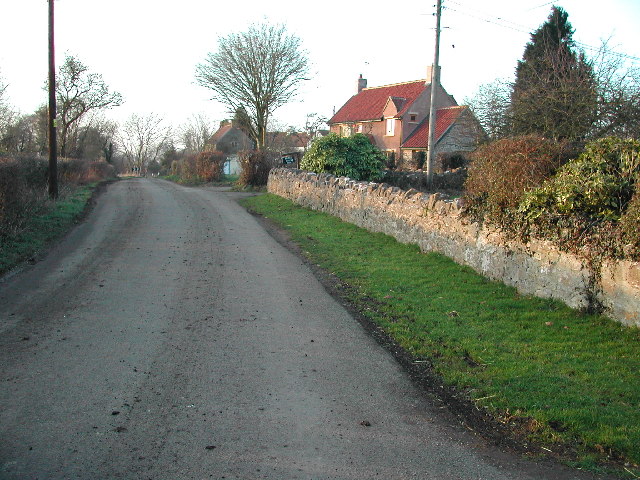
Lower Claverham is a small village located in Somerset, England. Situated approximately 11 miles southwest of the city of Bristol, it is part of the North Somerset district. The village is surrounded by beautiful countryside, offering picturesque views and a peaceful atmosphere.

Lower Claverham is primarily a residential area, characterized by a mix of traditional houses and more modern developments. The village has a close-knit community, with a population of around 2,000 people. It is known for its friendly and welcoming atmosphere, making it an attractive place for families and retirees.

Amenities in Lower Claverham include a local primary school, providing education for children aged 4 to 11. The village also boasts a community hall, which serves as a hub for various social activities and events. Additionally, there are a few local shops and businesses that cater to the everyday needs of residents.

The village is well-connected to surrounding areas by road and public transportation. It has good access to the A370, which connects it to Bristol and other nearby towns. Public buses also serve the village, providing convenient links to neighboring areas.

Lower Claverham benefits from its proximity to the bustling city of Bristol, where residents can find a wider range of amenities, including shopping centers, restaurants, and cultural attractions. However, the village itself offers a tranquil and scenic environment, making it a desirable place to live for those seeking a balance between rural and urban lifestyles.

If you have any feedback on the listing, please let us know in the comments section below.

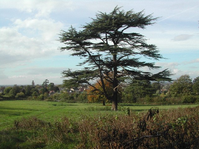
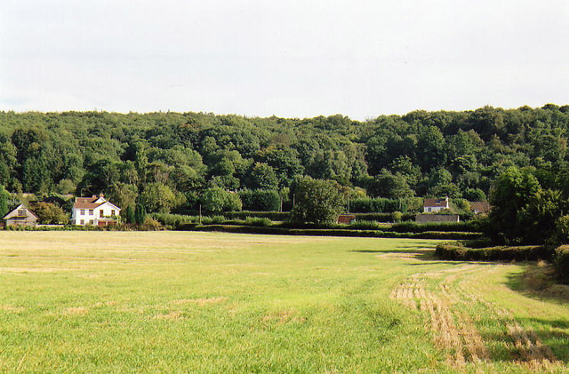
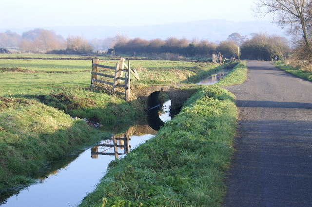
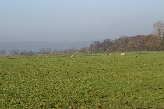
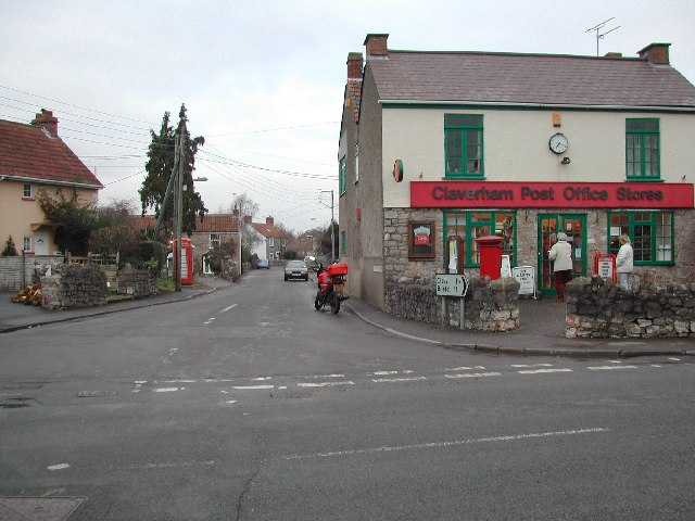
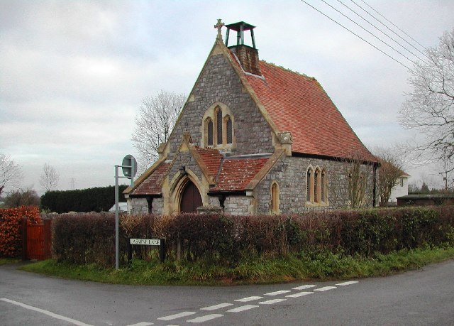
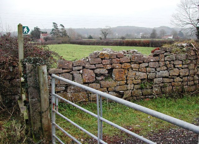
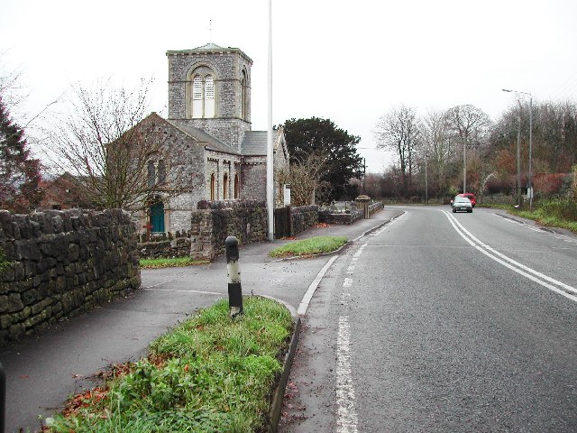
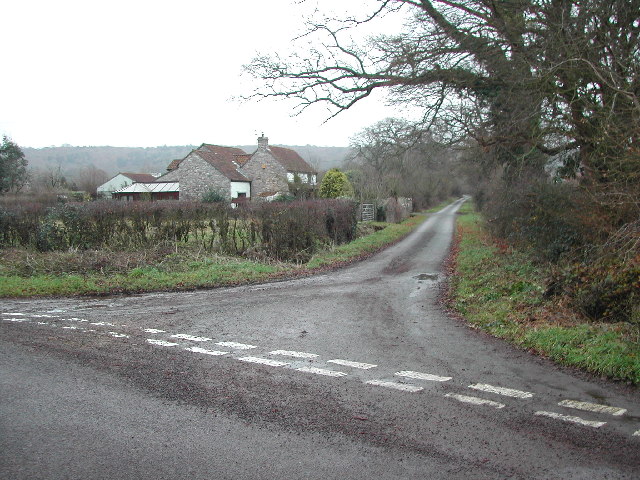
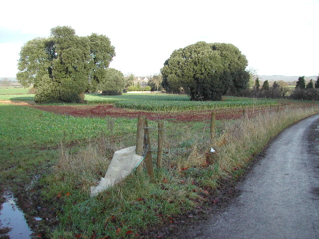
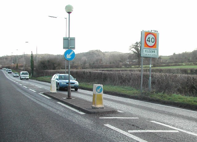
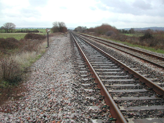
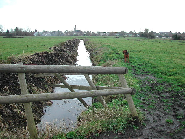
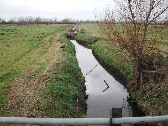
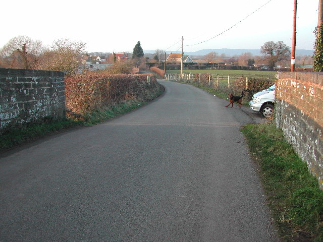
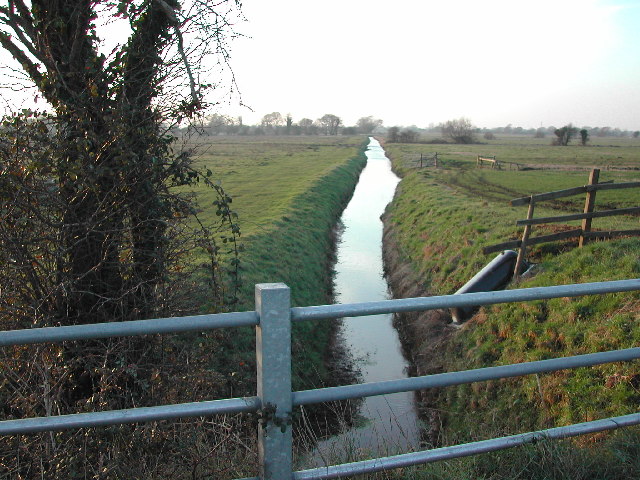
Lower Claverham Images

Images are sourced within 2km of 51.399903/-2.7957106 or Grid Reference ST4467. Thanks to Geograph Open Source API. All images are credited.

Yatton Church looking NW over grid square ST4365 View from SE corner of grid square ST4365 looking NW.  Parish church, also in this grid can be seen in middle distance.  Village also visible between trees.
Yatton Church looking NW over grid square ST4365
View from SE corner of grid square ST4365 looking NW. Parish church, also in this grid can be seen in middle distance. Village also visible between trees.
Cleeve: south east to Cleeve Hill The A370 Bristol – Weston-super-Mare road runs left to right across the image hidden between hedges, near the houses and by the telegraph poles. Seen from Littlewood Lane, known locally as Lipsey Lane
Cleeve: south east to Cleeve Hill
The A370 Bristol – Weston-super-Mare road runs left to right across the image hidden between hedges, near the houses and by the telegraph poles. Seen from Littlewood Lane, known locally as Lipsey Lane
Kenn Moor Looking North
Kenn Moor
Looking North
Claverham High Street & Post Office At the heart of this delightful village lies the Post Office and village stores. Looking up High Street from the Claverham Road. For more information on Claverham see the village website <span class="nowrap"><a title="http://www.claverhamvillage.co.uk/" rel="nofollow ugc noopener" href="http://www.claverhamvillage.co.uk/">Link</a><img style="margin-left:2px;" alt="External link" title="External link - shift click to open in new window" src="https://s1.geograph.org.uk/img/external.png" width="10" height="10"/></span>
Claverham High Street & Post Office
At the heart of this delightful village lies the Post Office and village stores. Looking up High Street from the Claverham Road. For more information on Claverham see the village website LinkExternal link
St. Barnabas Church, Claverham Completed as daughter church of St Mary's, Yatton, in 1879. Now part of the Yatton Moor Team Ministry. Services are held at varying times every Sunday. For more information see the Claverham village website <span class="nowrap"><a title="http://www.claverhamvillage.co.uk/" rel="nofollow ugc noopener" href="http://www.claverhamvillage.co.uk/">Link</a><img style="margin-left:2px;" alt="External link" title="External link - shift click to open in new window" src="https://s1.geograph.org.uk/img/external.png" width="10" height="10"/></span>
St. Barnabas Church, Claverham
Completed as daughter church of St Mary's, Yatton, in 1879. Now part of the Yatton Moor Team Ministry. Services are held at varying times every Sunday. For more information see the Claverham village website LinkExternal link
View South East over grid square
Cleeve Church on the A370
Littlewood Lane from Brockley Way
Towards Brockley Court Home Viewed from the A370 looking North along St. Nicholas Way.
Towards Brockley Court Home
Viewed from the A370 looking North along St. Nicholas Way.
Cleeve on the A370 Looking Eastwards across the grid square towards Cleeve Toot.
Cleeve on the A370
Looking Eastwards across the grid square towards Cleeve Toot.
The footpath crosses the track Looking Northeast
The footpath crosses the track
Looking Northeast
Along a rhyne to Yatton church Picture taken from the 'Round Yatton Walk'.
Along a rhyne to Yatton church
Picture taken from the 'Round Yatton Walk'.
The main drainage rhyne flows under the God's Wonderful Railway Built by IK Brunel the GWR line runs through this square which is crossed with many rhynes.  This part of the northern Somerset Levels was once covered by the sea and provides for little more than grazing for cattle.
The main drainage rhyne flows under the God's Wonderful Railway
Built by IK Brunel the GWR line runs through this square which is crossed with many rhynes. This part of the northern Somerset Levels was once covered by the sea and provides for little more than grazing for cattle.
Kenn Moor Gate looking North West from railway bridge
Rhyne at Kenn Moor Gate looking North West
The hamlet of Kenn Moor Gate
Bridge over the rhyne
Show me another place!

Lower Claverham is located at Grid Ref: ST4467 (Lat: 51.399903, Lng: -2.7957106)

Unitary Authority: North Somerset

Police Authority: Avon and Somerset

What 3 Words

///safely.landscape.seats. Near Brockley, Somerset

Related Wikis

North Somerset

North Somerset is a unitary authority in the ceremonial county of Somerset, England. The council is based in Weston-super-Mare, the area's largest town...

Nailsea Court

Nailsea Court in Nailsea, Somerset, England, is an English manor house dating from the 15th century. Pevsner describes the house as "historically highly...

Church of Holy Trinity, Cleeve

The Church Of Holy Trinity at Cleeve in the English county of Somerset was built in 1840. It is a Grade II* listed building. == History == Cleeve, along...

Cleeve Heronry

Cleeve Heronry (grid reference ST463662) is a heronry in a woodland near the village of Cleeve in North Somerset. 40 nests were counted in 1994. 47 nests...

Related Videos

Walking the Planks

The story of seaside piers in North Somerset at Clevedon and Weston-Super-Mare.

My early morning run, off the roads and back to the trails

Nothing beats getting up to see the sun rise. Weather has improved so getting off the roads and back onto the trails :) Filmed on a ...

First Run of 2021

My First Run of 2021 A Cold Crisp New Years Day Run in North Somerset, UK Filmed on GoPro Hero8 Edited on Davinci Resolve ...

End of Year Run \\ 35 km of Mud!

My last filmed run of 2020 35 km of mud around my local area Filmed on GoPro Hero8 Edited on Davinci Resolve 17.

Nearby Amenities

Located within 500m of 51.399903,-2.7957106
Post Box
Lat/Long: 51.3998792/-2.7960305
Power: tower
Lat/Long: 51.3983004/-2.7897617
Power: tower
Lat/Long: 51.4004544/-2.7892438
Barrier: stile
Lat/Long: 51.4002624/-2.7908144
Brand: National Grid
Brand Wikidata: Q1465461
Material: wood
Operator: National Grid Electricity Distribution Plc
Operator Old: Western Power Distribution
Operator Wikidata: Q7988183
Owner: National Grid Electricity Distribution (South West) Plc
Owner Wikidata: Q114397866
Power: pole
Lat/Long: 51.3998975/-2.7886807
Brand: National Grid
Brand Wikidata: Q1465461
Material: wood
Operator: National Grid Electricity Distribution Plc
Operator Old: Western Power Distribution
Operator Wikidata: Q7988183
Owner: National Grid Electricity Distribution (South West) Plc
Owner Wikidata: Q114397866
Power: pole
Substation: transformer
Lat/Long: 51.3998867/-2.7895111
Brand: National Grid
Brand Wikidata: Q1465461
Material: wood
Operator: National Grid Electricity Distribution Plc
Operator Old: Western Power Distribution
Operator Wikidata: Q7988183
Owner: National Grid Electricity Distribution (South West) Plc
Owner Wikidata: Q114397866
Power: pole
Lat/Long: 51.3992455/-2.7902678
Brand: National Grid
Brand Wikidata: Q1465461
Material: wood
Operator: National Grid Electricity Distribution Plc
Operator Old: Western Power Distribution
Operator Wikidata: Q7988183
Owner: National Grid Electricity Distribution (South West) Plc
Owner Wikidata: Q114397866
Power: pole
Lat/Long: 51.3984988/-2.7912024
Brand: National Grid
Brand Wikidata: Q1465461
Material: wood
Operator: National Grid Electricity Distribution Plc
Operator Old: Western Power Distribution
Operator Wikidata: Q7988183
Owner: National Grid Electricity Distribution (South West) Plc
Owner Wikidata: Q114397866
Power: pole
Lat/Long: 51.3977547/-2.792061
Brand: National Grid
Brand Wikidata: Q1465461
Material: wood
Operator: National Grid Electricity Distribution Plc
Operator Old: Western Power Distribution
Operator Wikidata: Q7988183
Owner: National Grid Electricity Distribution (South West) Plc
Owner Wikidata: Q114397866
Power: pole
Lat/Long: 51.3970574/-2.7929982
Brand: National Grid
Brand Wikidata: Q1465461
Material: wood
Operator: National Grid Electricity Distribution Plc
Operator Old: Western Power Distribution
Operator Wikidata: Q7988183
Owner: National Grid Electricity Distribution (South West) Plc
Owner Wikidata: Q114397866
Power: pole
Lat/Long: 51.3962337/-2.794115
Brand: National Grid
Brand Wikidata: Q1465461
Material: wood
Operator: National Grid Electricity Distribution Plc
Operator Old: Western Power Distribution
Operator Wikidata: Q7988183
Owner: National Grid Electricity Distribution (South West) Plc
Owner Wikidata: Q114397866
Power: pole
Lat/Long: 51.3957813/-2.7947771
Brand: National Grid
Brand Wikidata: Q1465461
Material: wood
Operator: National Grid Electricity Distribution Plc
Operator Old: Western Power Distribution
Operator Wikidata: Q7988183
Owner: National Grid Electricity Distribution (South West) Plc
Owner Wikidata: Q114397866
Power: pole
Lat/Long: 51.3963336/-2.7999997
Brand: National Grid
Brand Wikidata: Q1465461
Material: wood
Operator: National Grid Electricity Distribution Plc
Operator Old: Western Power Distribution
Operator Wikidata: Q7988183
Owner: National Grid Electricity Distribution (South West) Plc
Owner Wikidata: Q114397866
Power: pole
Lat/Long: 51.3968683/-2.8008636
The data included in this document is from www.openstreetmap.org. The data is made available under ODbL.

Have you been to Lower Claverham?

Leave your review of Lower Claverham below (or comments, questions and feedback).