Kenn Moor Gate

Settlement in Somerset

England

Kenn Moor Gate

Cleeve: south east to Cleeve Hill The A370 Bristol – Weston-super-Mare road runs left to right across the image hidden between hedges, near the houses and by the telegraph poles. Seen from Littlewood Lane, known locally as Lipsey Lane
Cleeve: south east to Cleeve Hill Credit: Martin Bodman

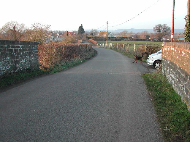
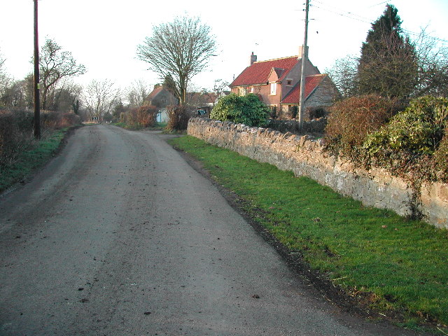
Kenn Moor Gate is a small hamlet located in the county of Somerset, England. Situated in the picturesque countryside, it is part of the civil parish of Kenn and lies approximately 5 miles southwest of the town of Clevedon.

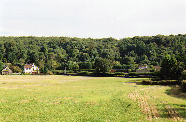
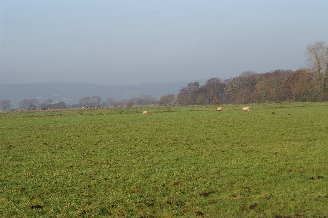
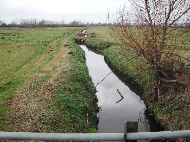
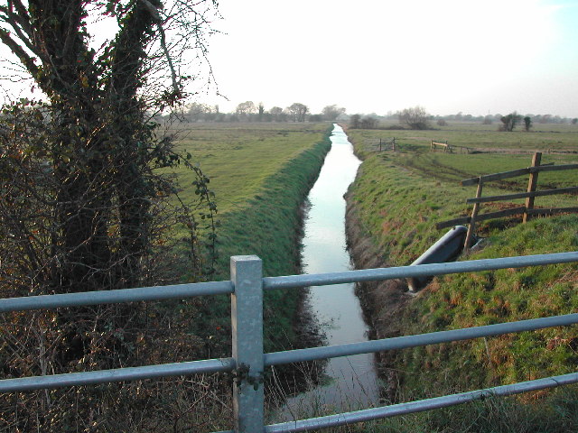
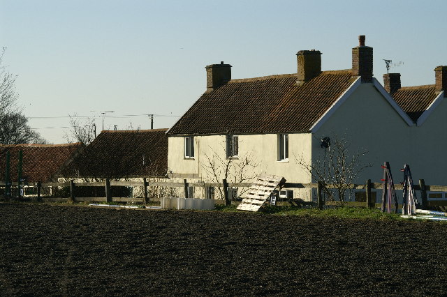
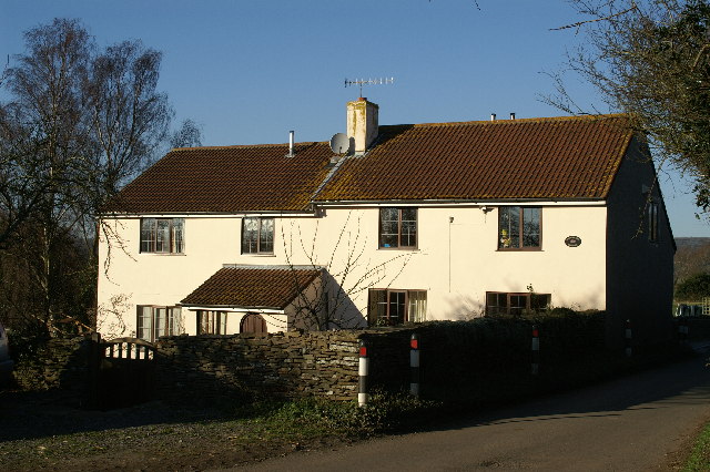
The hamlet is primarily known for its peaceful and rural setting, surrounded by lush green fields and rolling hills. It is home to a small number of houses and farms, adding to its quaint charm. The area is predominantly agricultural, with farming being the main occupation of the residents.

Kenn Moor Gate benefits from its close proximity to the beautiful coastline of the Bristol Channel. This allows residents and visitors to enjoy stunning views and access to nearby beaches, such as Clevedon Beach and Sand Bay.

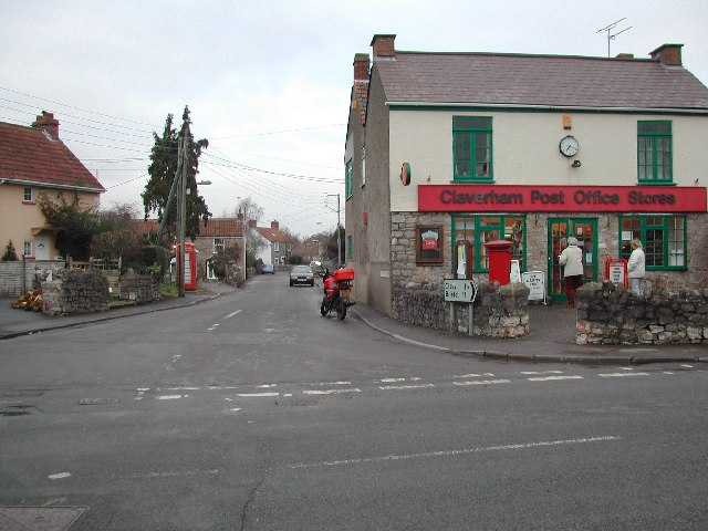
Despite its small size, Kenn Moor Gate is conveniently located near several amenities and attractions. The nearby town of Clevedon offers a range of shops, restaurants, and services, ensuring that residents have access to everyday necessities. Additionally, the area is well-connected to major road networks, making it easily accessible by car.

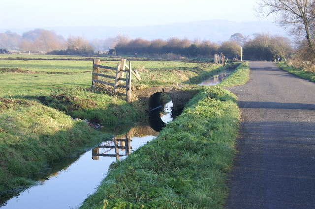
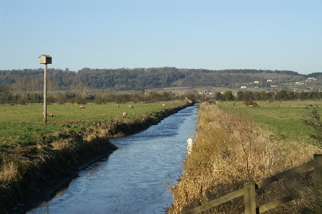
Nature enthusiasts will find plenty to explore in the surrounding area, including nature reserves, walking trails, and opportunities for birdwatching. The nearby Kenn Moor offers a peaceful retreat for those seeking a tranquil environment to unwind and enjoy the beauty of the natural surroundings.

Overall, Kenn Moor Gate is a charming and idyllic hamlet, perfect for those seeking a quiet and rural lifestyle amidst the stunning Somerset countryside.

If you have any feedback on the listing, please let us know in the comments section below.

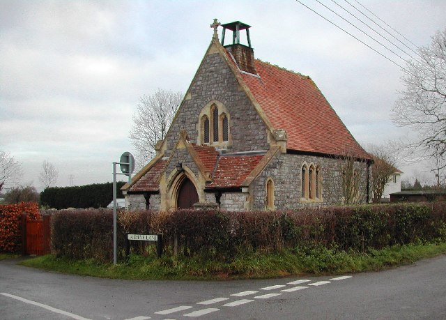
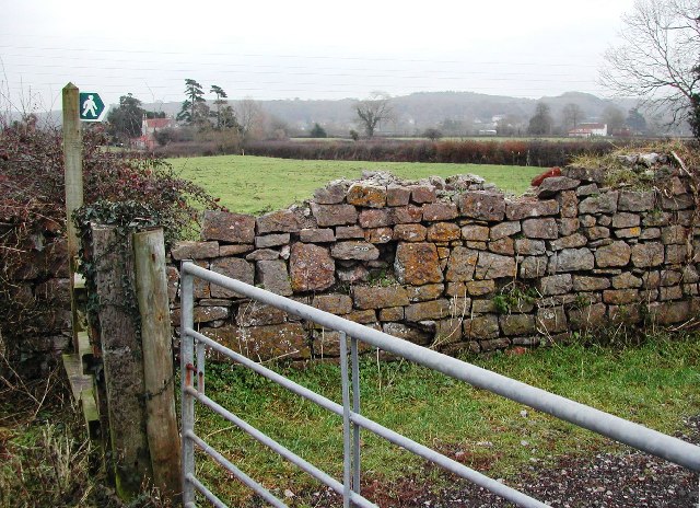
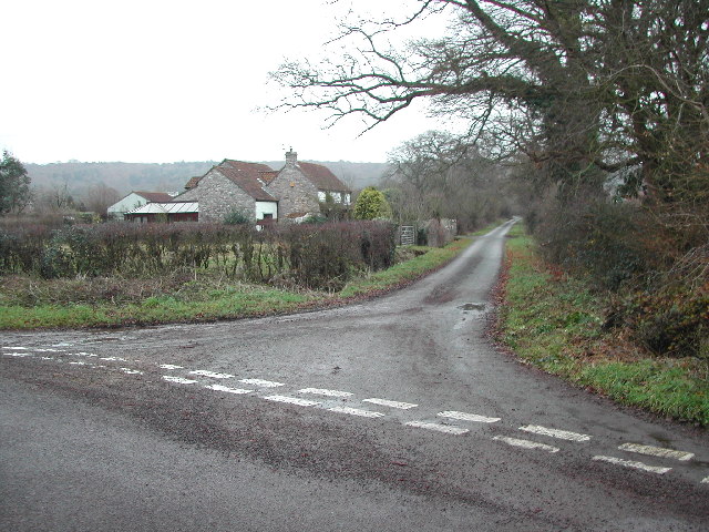
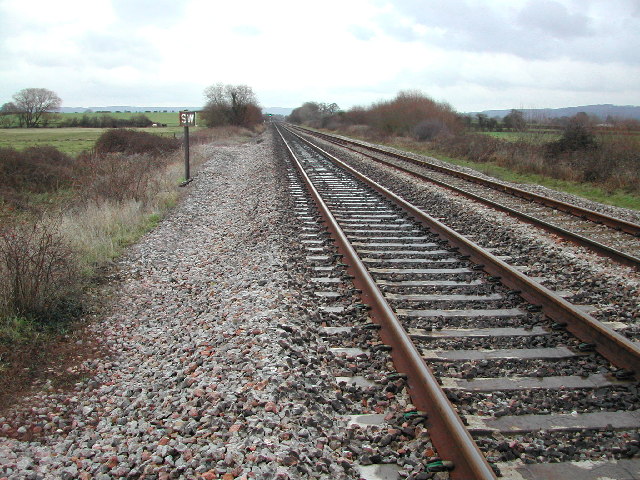
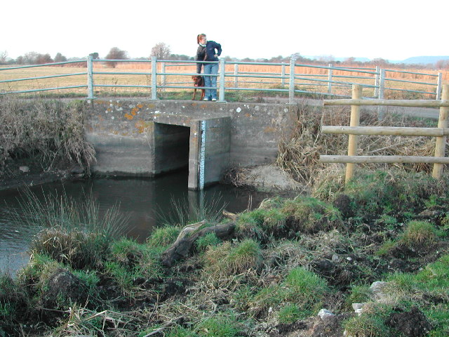
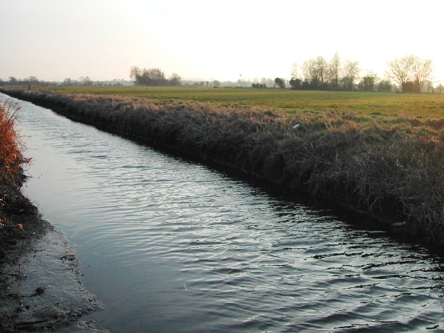
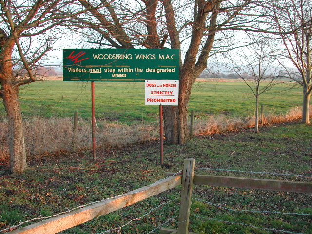
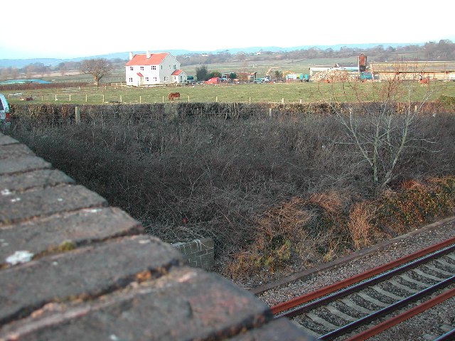
Kenn Moor Gate Images

Images are sourced within 2km of 51.404431/-2.798123 or Grid Reference ST4467. Thanks to Geograph Open Source API. All images are credited.

Cleeve: south east to Cleeve Hill The A370 Bristol – Weston-super-Mare road runs left to right across the image hidden between hedges, near the houses and by the telegraph poles. Seen from Littlewood Lane, known locally as Lipsey Lane
Cleeve: south east to Cleeve Hill
The A370 Bristol – Weston-super-Mare road runs left to right across the image hidden between hedges, near the houses and by the telegraph poles. Seen from Littlewood Lane, known locally as Lipsey Lane
Kenn Moor Looking North
Kenn Moor
Looking North
Claverham High Street & Post Office At the heart of this delightful village lies the Post Office and village stores. Looking up High Street from the Claverham Road. For more information on Claverham see the village website <span class="nowrap"><a title="http://www.claverhamvillage.co.uk/" rel="nofollow ugc noopener" href="http://www.claverhamvillage.co.uk/">Link</a><img style="margin-left:2px;" alt="External link" title="External link - shift click to open in new window" src="https://s1.geograph.org.uk/img/external.png" width="10" height="10"/></span>
Claverham High Street & Post Office
At the heart of this delightful village lies the Post Office and village stores. Looking up High Street from the Claverham Road. For more information on Claverham see the village website LinkExternal link
St. Barnabas Church, Claverham Completed as daughter church of St Mary's, Yatton, in 1879. Now part of the Yatton Moor Team Ministry. Services are held at varying times every Sunday. For more information see the Claverham village website <span class="nowrap"><a title="http://www.claverhamvillage.co.uk/" rel="nofollow ugc noopener" href="http://www.claverhamvillage.co.uk/">Link</a><img style="margin-left:2px;" alt="External link" title="External link - shift click to open in new window" src="https://s1.geograph.org.uk/img/external.png" width="10" height="10"/></span>
St. Barnabas Church, Claverham
Completed as daughter church of St Mary's, Yatton, in 1879. Now part of the Yatton Moor Team Ministry. Services are held at varying times every Sunday. For more information see the Claverham village website LinkExternal link
View South East over grid square
Littlewood Lane from Brockley Way
The footpath crosses the track Looking Northeast
The footpath crosses the track
Looking Northeast
The main drainage rhyne flows under the God's Wonderful Railway Built by IK Brunel the GWR line runs through this square which is crossed with many rhynes.  This part of the northern Somerset Levels was once covered by the sea and provides for little more than grazing for cattle.
The main drainage rhyne flows under the God's Wonderful Railway
Built by IK Brunel the GWR line runs through this square which is crossed with many rhynes. This part of the northern Somerset Levels was once covered by the sea and provides for little more than grazing for cattle.
Kenn Moor Gate looking North West from railway bridge
Rhyne at Kenn Moor Gate looking North West
The hamlet of Kenn Moor Gate
Bridge over the rhyne
View across Woodspring Wings airfield Woodspring Wings MAC is one of the few model-flying clubs in the UK to own its own site.  For more information see this site <span class="nowrap"><a title="http://www.woodspringwings.co.uk/" rel="nofollow ugc noopener" href="http://www.woodspringwings.co.uk/">Link</a><img style="margin-left:2px;" alt="External link" title="External link - shift click to open in new window" src="https://s1.geograph.org.uk/img/external.png" width="10" height="10"/></span>
View across Woodspring Wings airfield
Woodspring Wings MAC is one of the few model-flying clubs in the UK to own its own site. For more information see this site LinkExternal link
Woodspring Wings model aircraft club and airfield Woodspring Wings MAC is one of the few model-flying clubs in the UK to own its own site. For more information see this site <span class="nowrap"><a title="http://www.woodspringwings.co.uk/" rel="nofollow ugc noopener" href="http://www.woodspringwings.co.uk/">Link</a><img style="margin-left:2px;" alt="External link" title="External link - shift click to open in new window" src="https://s1.geograph.org.uk/img/external.png" width="10" height="10"/></span>
Woodspring Wings model aircraft club and airfield
Woodspring Wings MAC is one of the few model-flying clubs in the UK to own its own site. For more information see this site LinkExternal link
Farmland at Kenn Moor Gate
Broadmead Cottage
Broadmead Cottage
Show me another place!

Kenn Moor Gate is located at Grid Ref: ST4467 (Lat: 51.404431, Lng: -2.798123)

Unitary Authority: North Somerset

Police Authority: Avon and Somerset

What 3 Words

///thatched.bloomers.brink. Near Brockley, Somerset

Related Wikis

Nailsea Court

Nailsea Court in Nailsea, Somerset, England, is an English manor house dating from the 15th century. Pevsner describes the house as "historically highly...

North Somerset

North Somerset is a unitary district in Somerset, South West England. Whilst its area covers part of the ceremonial county of Somerset, it is administered...

Church of Holy Trinity, Cleeve

The Church Of Holy Trinity at Cleeve in the English county of Somerset was built in 1840. It is a Grade II* listed building. == History == Cleeve, along...

St Nicholas' Church, Brockley

St Nicholas' Church in Brockley, Somerset, England dates from the 12th century, and is recorded in the National Heritage List for England as a designated...

Chelvey Court

Chelvey Court in the village of Chelvey near Brockley in the English county of Somerset was a large manor house built between 1618 and 1660 for Edward...

Cleeve Heronry

Cleeve Heronry (grid reference ST463662) is a heronry in a woodland near the village of Cleeve in North Somerset. 40 nests were counted in 1994. 47 nests...

Cleeve, Somerset

Cleeve is a village and civil parish in the ceremonial county of Somerset, England. It is situated within the unitary authority of North Somerset, 9 miles...

Tickenham, Nailsea and Kenn Moors SSSI

Tickenham, Nailsea and Kenn Moors SSSI (grid reference ST440700) is a 129.4 hectare biological Site of Special Scientific Interest between Tickenham, Nailsea...

Nearby Amenities

Located within 500m of 51.404431,-2.798123
Generator Source: solar
Power: generator
Lat/Long: 51.4047435/-2.7982709
Generator Source: solar
Power: generator
Lat/Long: 51.4047987/-2.7987664
The data included in this document is from www.openstreetmap.org. The data is made available under ODbL.

Have you been to Kenn Moor Gate?

Leave your review of Kenn Moor Gate below (or comments, questions and feedback).