Kennards House

Settlement in Cornwall

England

Kennards House

The A30 west approaching A395 Kennards House junction
The A30 west approaching A395 Kennards House junction Credit: Roy Hughes

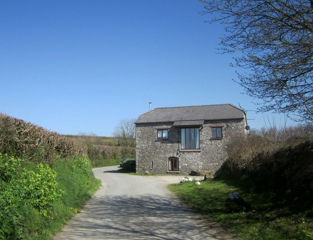
Kennards House is a historic Grade II listed building located in the picturesque village of Cornwall, England. The house dates back to the 17th century and is a fine example of traditional Cornish architecture.

The exterior of Kennards House features a charming thatched roof, whitewashed walls, and distinctive leaded windows. The interior of the house boasts original wooden beams, stone fireplaces, and period furnishings, creating a cozy and inviting atmosphere.

Surrounded by lush gardens and rolling countryside, Kennards House offers stunning views of the surrounding landscape. The house is situated in a peaceful and secluded location, making it the perfect retreat for those looking to escape the hustle and bustle of city life.

Visitors to Kennards House can enjoy exploring the nearby village of Cornwall, with its quaint shops, cafes, and historic buildings. The house is also a short drive away from the beautiful coastline, where visitors can enjoy walks along the sandy beaches and dramatic cliffs.

Overall, Kennards House is a charming and historic property that offers a unique glimpse into the rich history and natural beauty of Cornwall.

If you have any feedback on the listing, please let us know in the comments section below.

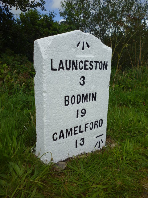
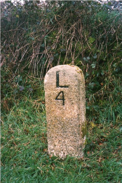
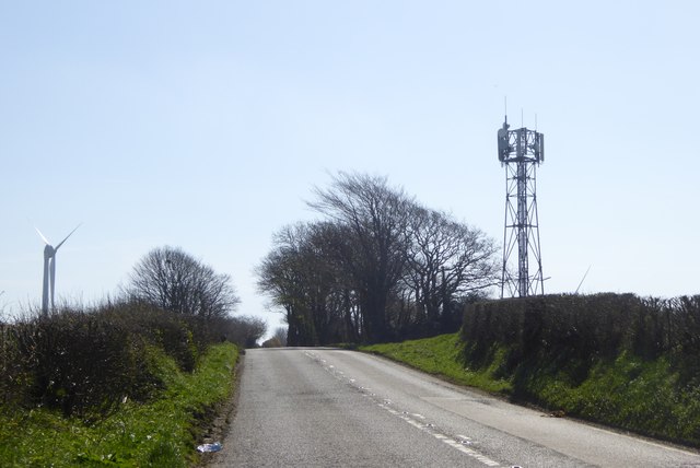
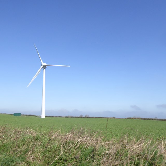
Kennards House Images

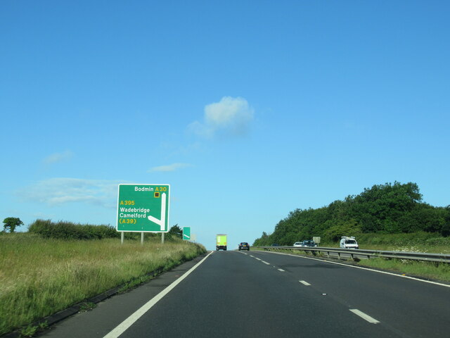
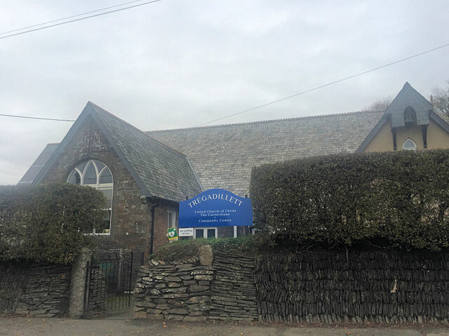
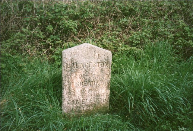
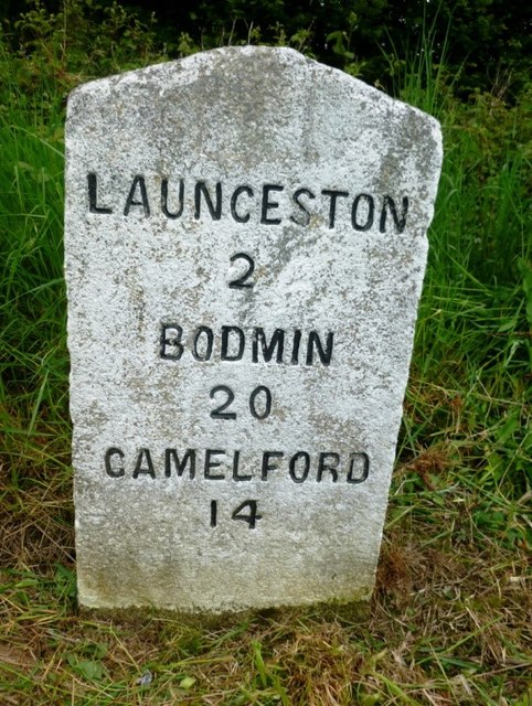
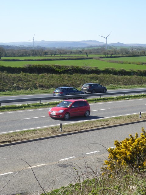
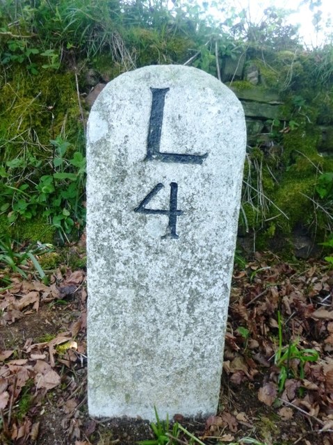
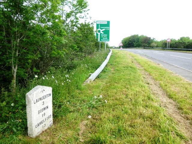
Images are sourced within 2km of 50.625919/-4.422885 or Grid Reference SX2883. Thanks to Geograph Open Source API. All images are credited.

The A30 west approaching A395 Kennards House junction
Tregadillett United Church of Christ The Cornerstone
Old Milestone near Trebursye Oak, east of Tregadillett Carved stone post by the UC road (was A30), in parish of ST THOMAS THE APOSTLE RURAL (NORTH CORNWALL District), Trebursye Farm, near Oak, access from Launceston via back road, near lay-by, on verge West of turn to Oak, on North side of road. Launceston gravestone, erected by the Local Highways Board in the 19th century. 

Inscription reads:-
LAUNCESTON
2
BODMIN
20
CAMELFORD
14   
Carved benchmark and rivet on top.

Grade II Listed. List Entry Number: 1220017
<span class="nowrap"><a title="https://historicengland.org.uk/listing/the-list/list-entry/1220017" rel="nofollow ugc noopener" href="https://historicengland.org.uk/listing/the-list/list-entry/1220017">Link</a><img style="margin-left:2px;" alt="External link" title="External link - shift click to open in new window" src="https://s1.geograph.org.uk/img/external.png" width="10" height="10"/></span>

Milestone Society National ID: CW_BMLA20.
Old Milestone near Trebursye Oak, east of Tregadillett
Carved stone post by the UC road (was A30), in parish of ST THOMAS THE APOSTLE RURAL (NORTH CORNWALL District), Trebursye Farm, near Oak, access from Launceston via back road, near lay-by, on verge West of turn to Oak, on North side of road. Launceston gravestone, erected by the Local Highways Board in the 19th century. Inscription reads:- LAUNCESTON 2 BODMIN 20 CAMELFORD 14 Carved benchmark and rivet on top. Grade II Listed. List Entry Number: 1220017 LinkExternal link Milestone Society National ID: CW_BMLA20.
Milestone near Trebursye Oak, east of Tregadillett Carved stone post by the UC road (was A30), in parish of ST THOMAS THE APOSTLE RURAL (NORTH CORNWALL District), Trebursye Farm, near Oak, access from Launceston via back road, near lay-by, on verge West of turn to Oak, on North side of road. Launceston gravestone, erected by the Local Highways Board in the 19th century. 

Inscription reads:-
LAUNCESTON
2
BODMIN
20
CAMELFORD
14 
Carved benchmark and rivet on top.

Grade II listed. 
List Entry Number: 1220017 <span class="nowrap"><a title="https://historicengland.org.uk/listing/the-list/list-entry/1220017" rel="nofollow ugc noopener" href="https://historicengland.org.uk/listing/the-list/list-entry/1220017">Link</a><img style="margin-left:2px;" alt="External link" title="External link - shift click to open in new window" src="https://s1.geograph.org.uk/img/external.png" width="10" height="10"/></span>

Milestone Society National ID: CW_BMLA20
Milestone near Trebursye Oak, east of Tregadillett
Carved stone post by the UC road (was A30), in parish of ST THOMAS THE APOSTLE RURAL (NORTH CORNWALL District), Trebursye Farm, near Oak, access from Launceston via back road, near lay-by, on verge West of turn to Oak, on North side of road. Launceston gravestone, erected by the Local Highways Board in the 19th century. Inscription reads:- LAUNCESTON 2 BODMIN 20 CAMELFORD 14 Carved benchmark and rivet on top. Grade II listed. List Entry Number: 1220017 LinkExternal link Milestone Society National ID: CW_BMLA20
House at Trevosper On a meandering lane in the countryside between the A30 and the A395.
House at Trevosper
On a meandering lane in the countryside between the A30 and the A395.
The hedge topping Lane End Field Triangulation Pillar sprouting a Wind Turbine Looking south-eastward. Not sure where the Ordnance Survey got the name of this pillar from other than it is beside a lane at the end of a field.
The hedge topping Lane End Field Triangulation Pillar sprouting a Wind Turbine
Looking south-eastward. Not sure where the Ordnance Survey got the name of this pillar from other than it is beside a lane at the end of a field.
Footpath from the lay-by on the eastbound A30 at Tregadillett
Launceston Steam Railway - Lilian The locomotive is running round the train ready for the return to Launceston. Lilian was built by the Hunslet Engine Company of Leeds as No. 317 of 1887. It can't have been much fun working a locomotive with no cab in a Welsh quarry in winter.
Launceston Steam Railway - Lilian
The locomotive is running round the train ready for the return to Launceston. Lilian was built by the Hunslet Engine Company of Leeds as No. 317 of 1887. It can't have been much fun working a locomotive with no cab in a Welsh quarry in winter.
Old Milestone at Kennards House, South Petherwin Carved stone post by the A395 (was A30), in parish of South Petherwin (North Cornwall District), Kennards House, by the road (moved off A30 in junction change in 2012). Launceston gravestone erected by the Local Highways Board in the 19th century. 

Inscription reads:
LAUNCESTON
3
BODMIN
19
CAMELFORD
13 
Carved benchmark lower right and top centre. 

Grade II listed. List Entry Number: 1220018
<span class="nowrap"><a title="https://historicengland.org.uk/listing/the-list/list-entry/1220018" rel="nofollow ugc noopener" href="https://historicengland.org.uk/listing/the-list/list-entry/1220018">Link</a><img style="margin-left:2px;" alt="External link" title="External link - shift click to open in new window" src="https://s1.geograph.org.uk/img/external.png" width="10" height="10"/></span>

Milestone Society National ID: CW_BMLA19.
Old Milestone at Kennards House, South Petherwin
Carved stone post by the A395 (was A30), in parish of South Petherwin (North Cornwall District), Kennards House, by the road (moved off A30 in junction change in 2012). Launceston gravestone erected by the Local Highways Board in the 19th century. Inscription reads: LAUNCESTON 3 BODMIN 19 CAMELFORD 13 Carved benchmark lower right and top centre. Grade II listed. List Entry Number: 1220018 LinkExternal link Milestone Society National ID: CW_BMLA19.
Old Milestone by the A395, north east of Trevosper Carved stone post by the A395, in parish of SOUTH PETHERWIN (NORTH CORNWALL District), 600m North East of Trevosper, opposite lay-by, on North side of road. Launceston pillar, erected by the Launceston turnpike trust in the 19th century. 

Inscription reads:-
L
4 

Grade II Listed. List Entry Number: 1291176
<span class="nowrap"><a title="https://historicengland.org.uk/listing/the-list/list-entry/1291176" rel="nofollow ugc noopener" href="https://historicengland.org.uk/listing/the-list/list-entry/1291176">Link</a><img style="margin-left:2px;" alt="External link" title="External link - shift click to open in new window" src="https://s1.geograph.org.uk/img/external.png" width="10" height="10"/></span>

Milestone Society National ID: CW_LACF04.
Old Milestone by the A395, north east of Trevosper
Carved stone post by the A395, in parish of SOUTH PETHERWIN (NORTH CORNWALL District), 600m North East of Trevosper, opposite lay-by, on North side of road. Launceston pillar, erected by the Launceston turnpike trust in the 19th century. Inscription reads:- L 4 Grade II Listed. List Entry Number: 1291176 LinkExternal link Milestone Society National ID: CW_LACF04.
Communications mast and wind turbine by A395 These are both on the flat top of a hill, marked by a trig pillar <a href="https://www.geograph.org.uk/photo/4732000">SX2783 : The hedge topping Lane End Field Triangulation Pillar sprouting a Wind Turbine</a>
Communications mast and wind turbine by A395
These are both on the flat top of a hill, marked by a trig pillar SX2783 : The hedge topping Lane End Field Triangulation Pillar sprouting a Wind Turbine
Wind turbine west of Trethorne
A30 by-passing Tregadillett Looking south towards two nearby wind turbines
A30 by-passing Tregadillett
Looking south towards two nearby wind turbines
Old Wayside Cross on the A30 at Holyway Cross Holyway (Holloway) Cross, old head and shaft, Langdon NC No. 93 by the A30, in parish of South Petherwin (North Cornwall District), northbound carriageway, junction with UC road to Hicksmill, on grass by roadside pull-off.

Grade II listed.
List Entry Number: 1155083 <span class="nowrap"><a title="https://historicengland.org.uk/listing/the-list/list-entry/1155083" rel="nofollow ugc noopener" href="https://historicengland.org.uk/listing/the-list/list-entry/1155083">Link</a><img style="margin-left:2px;" alt="External link" title="External link - shift click to open in new window" src="https://s1.geograph.org.uk/img/external.png" width="10" height="10"/></span>

Scheduled Monument.
List Entry Number: 1007953 <span class="nowrap"><a title="https://historicengland.org.uk/listing/the-list/list-entry/1007953" rel="nofollow ugc noopener" href="https://historicengland.org.uk/listing/the-list/list-entry/1007953">Link</a><img style="margin-left:2px;" alt="External link" title="External link - shift click to open in new window" src="https://s1.geograph.org.uk/img/external.png" width="10" height="10"/></span>

Surveyed

Milestone Society National ID: CWNC_SOU
Old Wayside Cross on the A30 at Holyway Cross
Holyway (Holloway) Cross, old head and shaft, Langdon NC No. 93 by the A30, in parish of South Petherwin (North Cornwall District), northbound carriageway, junction with UC road to Hicksmill, on grass by roadside pull-off. Grade II listed. List Entry Number: 1155083 LinkExternal link Scheduled Monument. List Entry Number: 1007953 LinkExternal link Surveyed Milestone Society National ID: CWNC_SOU
South Petherwin : The A30 Heading along the A30 on a cold morning in Cornwall.
South Petherwin : The A30
Heading along the A30 on a cold morning in Cornwall.
Old Boundary Marker Parish Boundary Marker on the south side of the A395 to the east of Trenault Farm. On the boundary of Trewen and South Petherwin parishes. Inscribed Sth / Peth / erwin and Tre / wen on adjacent faces. Grade II Listed <span class="nowrap"><a title="https://historicengland.org.uk/listing/the-list/list-entry/1220086" rel="nofollow ugc noopener" href="https://historicengland.org.uk/listing/the-list/list-entry/1220086">Link</a><img style="margin-left:2px;" alt="External link" title="External link - shift click to open in new window" src="https://s1.geograph.org.uk/img/external.png" width="10" height="10"/></span>.

Milestone Society National ID: CW_TRESPE01pb
Old Boundary Marker
Parish Boundary Marker on the south side of the A395 to the east of Trenault Farm. On the boundary of Trewen and South Petherwin parishes. Inscribed Sth / Peth / erwin and Tre / wen on adjacent faces. Grade II Listed LinkExternal link. Milestone Society National ID: CW_TRESPE01pb
Old Milestone by the A395, north east of Trevosper Carved stone post by the A395, in parish of SOUTH PETHERWIN (NORTH CORNWALL District), 600m Northeast of Trevosper, opposite lay-by, on North side of road. Launceston pillar, erected by the Launceston turnpike trust in the 19th century. 

Inscription reads:-
L
4

Grade II listed. 
List Entry Number: 1291176 <span class="nowrap"><a title="https://historicengland.org.uk/listing/the-list/list-entry/1291176" rel="nofollow ugc noopener" href="https://historicengland.org.uk/listing/the-list/list-entry/1291176">Link</a><img style="margin-left:2px;" alt="External link" title="External link - shift click to open in new window" src="https://s1.geograph.org.uk/img/external.png" width="10" height="10"/></span>

Milestone Society National ID: CW_LACF04.
Old Milestone by the A395, north east of Trevosper
Carved stone post by the A395, in parish of SOUTH PETHERWIN (NORTH CORNWALL District), 600m Northeast of Trevosper, opposite lay-by, on North side of road. Launceston pillar, erected by the Launceston turnpike trust in the 19th century. Inscription reads:- L 4 Grade II listed. List Entry Number: 1291176 LinkExternal link Milestone Society National ID: CW_LACF04.
Old Milestone by the A395 at Kennards House Carved stone post by the A395 (was A30), in parish of South Petherwin (North Cornwall District), Kennards House, by the road (moved off A30 in junction change in 2012). Launceston gravestone erected by the Local Highways Board in the 19th century. 

Inscription reads:
LAUNCESTON
3
BODMIN
19
CAMELFORD
13 
Carved benchmark lower right, and top centre. 

Grade II listed.
List Entry Number: 1220018 <span class="nowrap"><a title="https://historicengland.org.uk/listing/the-list/list-entry/1220018" rel="nofollow ugc noopener" href="https://historicengland.org.uk/listing/the-list/list-entry/1220018">Link</a><img style="margin-left:2px;" alt="External link" title="External link - shift click to open in new window" src="https://s1.geograph.org.uk/img/external.png" width="10" height="10"/></span>

Milestone Society National ID: CW_BMLA19.
Old Milestone by the A395 at Kennards House
Carved stone post by the A395 (was A30), in parish of South Petherwin (North Cornwall District), Kennards House, by the road (moved off A30 in junction change in 2012). Launceston gravestone erected by the Local Highways Board in the 19th century. Inscription reads: LAUNCESTON 3 BODMIN 19 CAMELFORD 13 Carved benchmark lower right, and top centre. Grade II listed. List Entry Number: 1220018 LinkExternal link Milestone Society National ID: CW_BMLA19.
Show me another place!

Kennards House is located at Grid Ref: SX2883 (Lat: 50.625919, Lng: -4.422885)

Unitary Authority: Cornwall

Police Authority: Devon and Cornwall

What 3 Words

///safely.walnuts.catchers. Near Trewen, Cornwall

Related Wikis

Kennards House

Kennards House is a small settlement in east Cornwall, United Kingdom, situated at grid reference SX 287 830 in the civil parish of South Petherwin .Kennards...

St Thomas the Apostle Rural

St Thomas the Apostle Rural, also known as St Thomas-by-Launceston (Cornish: Sen Tommos Lannstefan) is a civil parish in east Cornwall, England, United...

Hidden Valley Discovery Park

Hidden Valley Discovery Park is a family-run visitor attraction near the town of Launceston, Cornwall, England, UK. Founded in 1994 by Pete Jones, as a...

Treguddick Manor

Treguddick Manor is a Grade II* manor house and 18-acre (7.3 ha) estate in the parish of South Petherwin, Cornwall, England, to the southwest of Launceston...

Nearby Amenities

Located within 500m of 50.625919,-4.422885
Post Box
Ref: PL15 31
Source: survey
Lat/Long: 50.622945/-4.4213219
Trethorne Leisure Park
Addr City: Launceston
Addr Place: Kennards House
Addr Postcode: PL15 8QE
Fee: yes
Fee Conditional: no @ age < 1
Opening Hours Url: https://trethorneleisure.com/before-you-visit/opening-times
Tourism: attraction
Website: https://trethorneleisure.com/
Wheelchair: yes
Lat/Long: 50.6236269/-4.42645
Golf: pin
Lat/Long: 50.6256421/-4.4292576
Golf: pin
Lat/Long: 50.6286355/-4.4253362
Golf: tee
Lat/Long: 50.6283079/-4.4247357
Golf: tee
Lat/Long: 50.6236121/-4.4229391
Golf: pin
Lat/Long: 50.6266169/-4.4274601
Golf: pin
Lat/Long: 50.6251384/-4.4292133
Golf: pin
Lat/Long: 50.6281687/-4.4246459
Golf: pin
Lat/Long: 50.6278/-4.424693
Golf: pin
Lat/Long: 50.6250336/-4.4242701
Golf: pin
Lat/Long: 50.623723/-4.4249347
Golf: pin
Lat/Long: 50.6249125/-4.4208483
Golf: pin
Lat/Long: 50.6284931/-4.4210673
Golf: pin
Lat/Long: 50.6296451/-4.4248653
Golf: pin
Lat/Long: 50.6258298/-4.4212707
Golf: pin
Lat/Long: 50.6288466/-4.4240334
Golf: pin
Lat/Long: 50.625229/-4.4267838
Golf: pin
Lat/Long: 50.6252821/-4.4219103
The data included in this document is from www.openstreetmap.org. The data is made available under ODbL.

Have you been to Kennards House?

Leave your review of Kennards House below (or comments, questions and feedback).