Lower Canterton

Settlement in Hampshire New Forest

England

Lower Canterton

The Rufus Stone
The Rufus Stone Credit: Helen Steed

Lower Canterton is a small village located in the county of Hampshire, England. Situated in the South Downs National Park, it is nestled amidst picturesque rolling hills and lush green countryside. The village is part of the Test Valley district, situated approximately 5 miles northwest of the town of Stockbridge.

Characterized by its tranquil and idyllic setting, Lower Canterton offers a peaceful retreat from the hustle and bustle of city life. The village is predominantly residential, with a small population of close-knit community members. Traditional thatched cottages and charming farmhouses are dotted throughout the village, adding to its quaint and rustic charm.

Though small in size, Lower Canterton is well-served by amenities and services for its residents. A local primary school caters to the educational needs of the village's children, and there is a village hall that serves as a hub for community events and gatherings. The village also boasts a traditional pub, where locals and visitors can enjoy a pint of ale and sample hearty, home-cooked meals.

The surrounding countryside offers ample opportunities for outdoor activities, with various footpaths and bridleways crisscrossing the area. Residents and visitors alike can explore the beautiful landscapes, taking in the breathtaking views and enjoying leisurely walks or bike rides.

Overall, Lower Canterton is a charming and tranquil village, perfect for those seeking a peaceful rural lifestyle in the heart of Hampshire's stunning countryside.

If you have any feedback on the listing, please let us know in the comments section below.

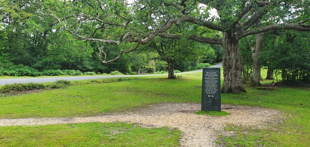
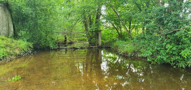
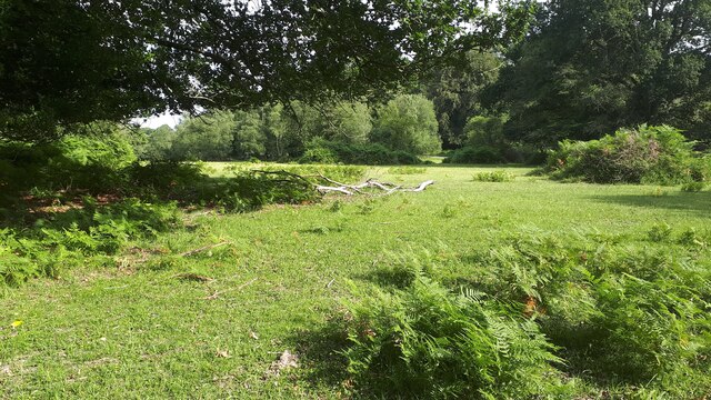
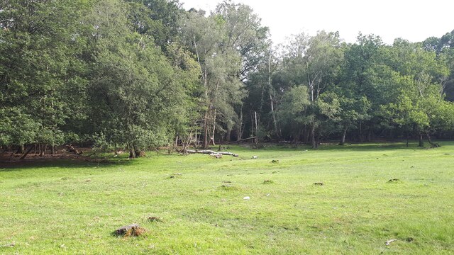
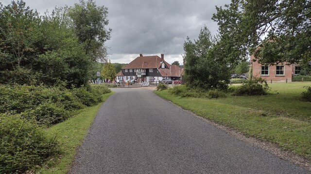
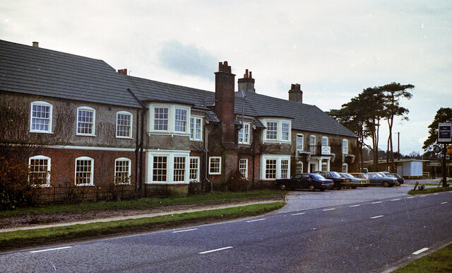
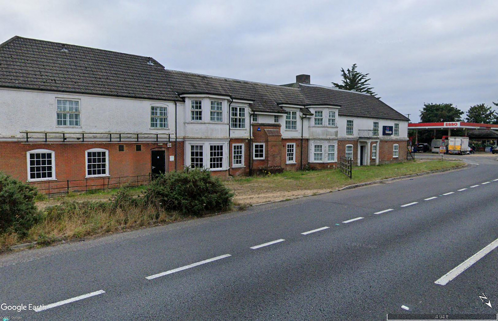
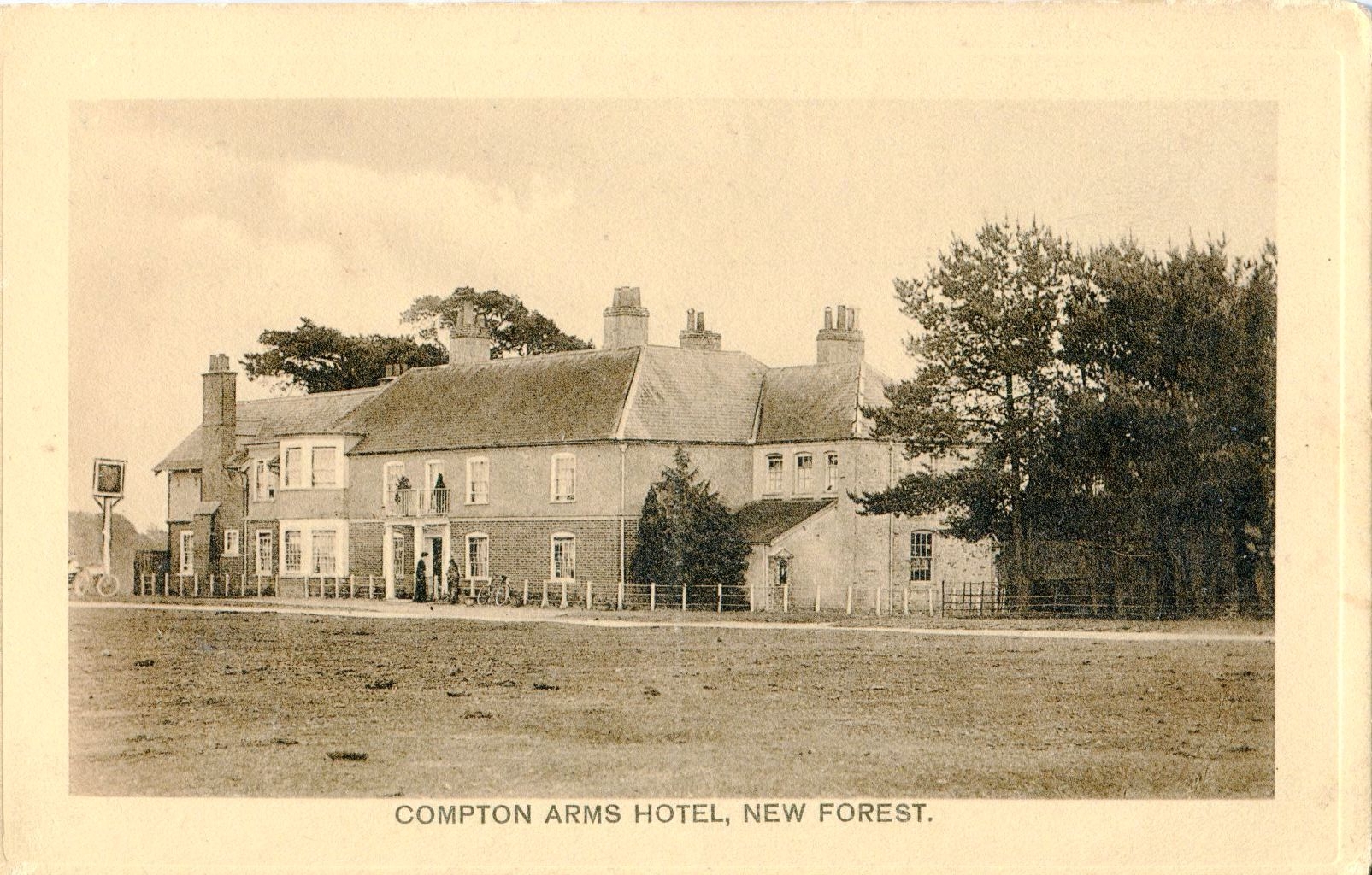
Lower Canterton Images

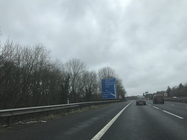
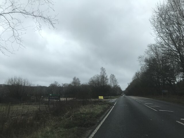
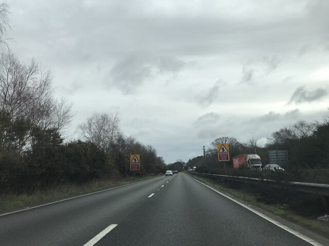
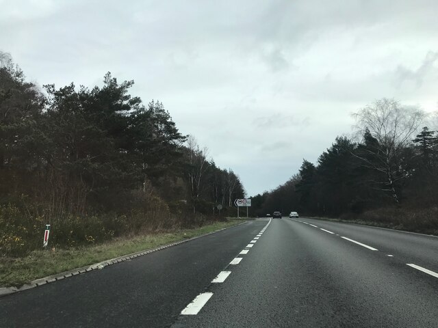
Images are sourced within 2km of 50.918817/-1.6078522 or Grid Reference SU2713. Thanks to Geograph Open Source API. All images are credited.

The Rufus Stone
The Rufus Stone
King's Garn Gutter
King's Garn Gutter
Forest lawn on lower edge of Brook Wood
View across clearing in Brook Wood
Minstead : The A31 Looking along the A31.
Minstead : The A31
Looking along the A31.
Minstead : The A31 Looking along the A31.
Minstead : The A31
Looking along the A31.
Garden at White Hart Public House
Rufus Stone Rufus Stone encased in a protective cover
Rufus Stone
Rufus Stone encased in a protective cover
Lane to Brook Lane to Brook passing the Sir Walter Tyrell pub
Lane to Brook
Lane to Brook passing the Sir Walter Tyrell pub
The Compton Arms, Stoney Cross c.1970 Before it became the corporate and characterless Little Chef and the Travelodge of today, The Compton Arms was a long established country inn - a free house, with a reputation for fine food and good ale. Named after a local squire, Henry Compton, its origins lie much further back than when this photograph was taken. In the 18th century it was a posting inn that catered for the local gentry by supplying horses and post chaises for hire, and because of the number of influential personages residing in the locality, a Post Office was established at the inn in 1837. This would have benefitted the local inhabitants considerably, as Stoney Cross was on the mail coach route from London to Poole via Southampton. Interestingly, although the building long ago had given up its post office, in 2008 it still retained its now disused Edwardian GPO postbox. <a title="https://www.geograph.org.uk/photo/962737" href="https://www.geograph.org.uk/photo/962737">Link</a>

At sometime in the past, in order to accommodate the ever increasing number of motorists, the building had been sensitively extended to the east, the extension incorporating a new bay window to match the old one to the west. Since then, the old coaching inn has been remodelled, and now compares unfavourably with the photo above in this Sept. 2021 Streetview image: <span class="nowrap"><a title="https://media.geograph.org.uk/files/7eabe3a1649ffa2b3ff8c02ebfd5659f/Compton_Arms_GE-original.jpg" rel="nofollow ugc noopener" href="https://media.geograph.org.uk/files/7eabe3a1649ffa2b3ff8c02ebfd5659f/Compton_Arms_GE-original.jpg">Link</a><img style="margin-left:2px;" alt="External link" title="External link - shift click to open in new window" src="https://s1.geograph.org.uk/img/external.png" width="10" height="10"/></span> 

The Compton Arms - early 20th century: <span class="nowrap"><a title="https://media.geograph.org.uk/files/7eabe3a1649ffa2b3ff8c02ebfd5659f/MGPC004-original.jpg" rel="nofollow ugc noopener" href="https://media.geograph.org.uk/files/7eabe3a1649ffa2b3ff8c02ebfd5659f/MGPC004-original.jpg">Link</a><img style="margin-left:2px;" alt="External link" title="External link - shift click to open in new window" src="https://s1.geograph.org.uk/img/external.png" width="10" height="10"/></span>
The Compton Arms, Stoney Cross c.1970
Before it became the corporate and characterless Little Chef and the Travelodge of today, The Compton Arms was a long established country inn - a free house, with a reputation for fine food and good ale. Named after a local squire, Henry Compton, its origins lie much further back than when this photograph was taken. In the 18th century it was a posting inn that catered for the local gentry by supplying horses and post chaises for hire, and because of the number of influential personages residing in the locality, a Post Office was established at the inn in 1837. This would have benefitted the local inhabitants considerably, as Stoney Cross was on the mail coach route from London to Poole via Southampton. Interestingly, although the building long ago had given up its post office, in 2008 it still retained its now disused Edwardian GPO postbox. Link At sometime in the past, in order to accommodate the ever increasing number of motorists, the building had been sensitively extended to the east, the extension incorporating a new bay window to match the old one to the west. Since then, the old coaching inn has been remodelled, and now compares unfavourably with the photo above in this Sept. 2021 Streetview image: LinkExternal link The Compton Arms - early 20th century: LinkExternal link
Signage - M27 southbound
Car Park off A337 - southbound
Signage - A31 northbound
The Pond Furzey Gardens
The Pond
Furzey Gardens
Track emerging from woods at bottom of Longbeech Campsite
Show me another place!

Lower Canterton is located at Grid Ref: SU2713 (Lat: 50.918817, Lng: -1.6078522)

Administrative County: Hampshire

District: New Forest

Police Authority: Hampshire

What 3 Words

///novelist.glimmers.lookout. Near Cadnam, Hampshire

Related Wikis

Brook, New Forest

Brook is a hamlet in the civil parish of Bramshaw, in Hampshire, England. It lies just inside the New Forest. The hamlet contains a mix of 18th and 19th...

Upper Canterton

Upper Canterton is a village in Hampshire, England, located at 50°54′36″N 1°37′24″W. It is near Minstead. == References == The geographic coordinates are...

Minstead

Minstead is a small village and civil parish in the New Forest, Hampshire, about 2 miles (3.2 km) north of Lyndhurst. There is a shop and a pub, the Trusty...

Bartley Lodge

Bartley Lodge is a country house near Cadnam in Hampshire, England, within the boundaries of the New Forest National Park. It was built in the 18th century...

Cadnam

Cadnam is a village situated in Hampshire, England, within the boundaries of the New Forest National Park. The village has existed since the medieval period...

Minstead Lodge

Minstead Lodge in Hampshire is a building of historical significance built in about 1830 and is Grade II listed on the English Heritage Register. Today...

Bramshaw

Bramshaw is a small village and civil parish in Hampshire, England. It lies just inside the New Forest. The name Bramshaw means Bramble Wood. Until 1895...

Bartley, Hampshire

Bartley is a village in Hampshire, England, within the boundaries of the New Forest National Park, seven miles (11 km) west of Southampton. == Overview... ==

Nearby Amenities

Located within 500m of 50.918817,-1.6078522
Lower Canterton
Place: hamlet
Lat/Long: 50.917277/-1.6072531
Greenhill Copse
Place: locality
Lat/Long: 50.9195171/-1.6127569
Hunting Stand
Lat/Long: 50.9191304/-1.6114545
Ford: yes
Lat/Long: 50.9200492/-1.6051661
Hunting Lodge
Access: yes
Archaeological Site: settlement
Historic: archaeological_site
Historic Civilization: medieval
Lat/Long: 50.9156428/-1.6047682
The data included in this document is from www.openstreetmap.org. The data is made available under ODbL.

Have you been to Lower Canterton?

Leave your review of Lower Canterton below (or comments, questions and feedback).