Lower Cambourne

Settlement in Cambridgeshire South Cambridgeshire

England

Lower Cambourne

Road to Pastures Farm, Caxton, Cambridgeshire
Road to Pastures Farm, Caxton, Cambridgeshire Credit: Martin John Bishop

Lower Cambourne is a small village located in the district of South Cambridgeshire, in the county of Cambridgeshire, England. It is situated approximately 10 miles west of the city of Cambridge. Lower Cambourne is part of the larger development project known as Cambourne, which includes the neighboring villages of Great Cambourne and Upper Cambourne.

Lower Cambourne is a relatively new settlement, with construction beginning in the late 1990s. The village was designed with the aim of creating a sustainable and modern community, providing a range of housing options, recreational facilities, and amenities for its residents.

The village features a mix of housing types, including detached and semi-detached houses, as well as apartments and townhouses. There are also several green spaces and parks scattered throughout the area, providing opportunities for outdoor activities and relaxation.

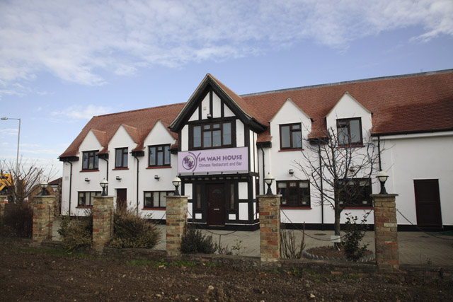
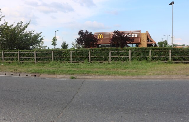
In terms of amenities, Lower Cambourne offers a range of services, including a primary school, a healthcare center, and a community center. There are also several shops, restaurants, and pubs within the village, catering to the daily needs of its residents.

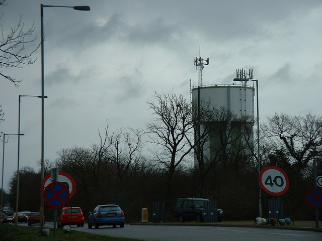
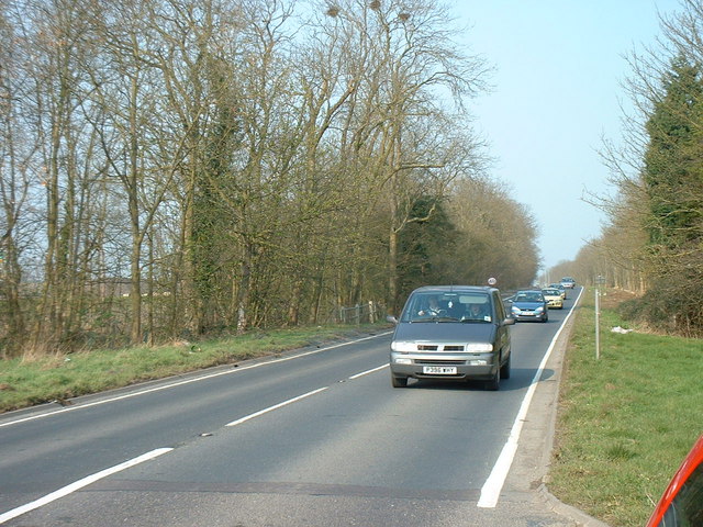
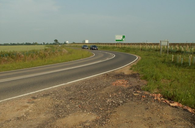
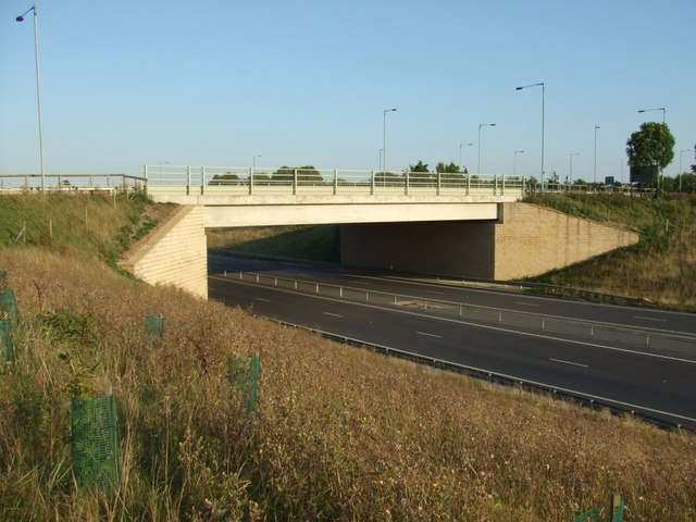
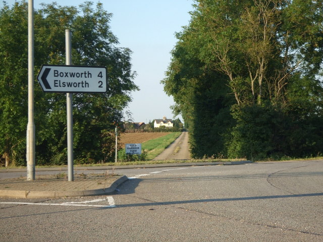
Lower Cambourne benefits from excellent transport links, with easy access to the nearby A428 road and the M11 motorway. The village is also served by regular bus services, connecting it to Cambridge and other surrounding towns and villages.

Overall, Lower Cambourne is a thriving and well-planned community, offering a high quality of life for its residents through its range of housing options, amenities, and convenient location.

If you have any feedback on the listing, please let us know in the comments section below.

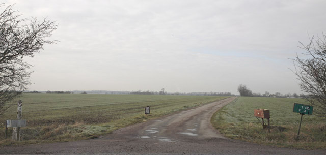
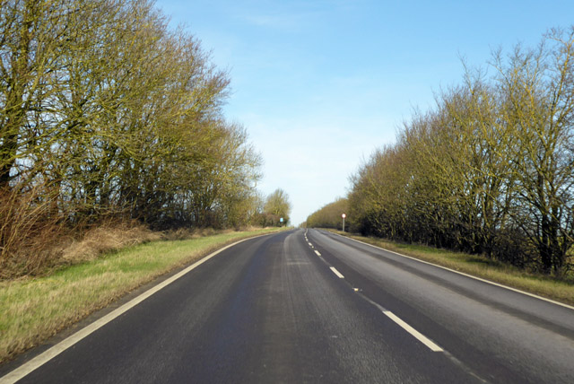
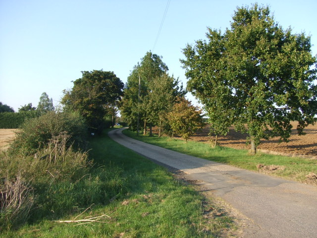
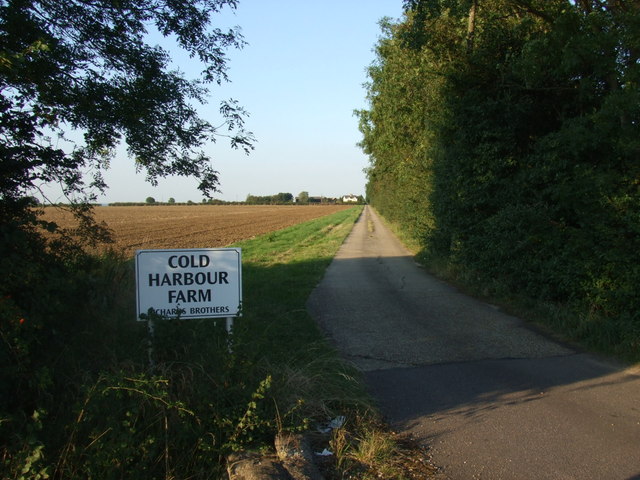
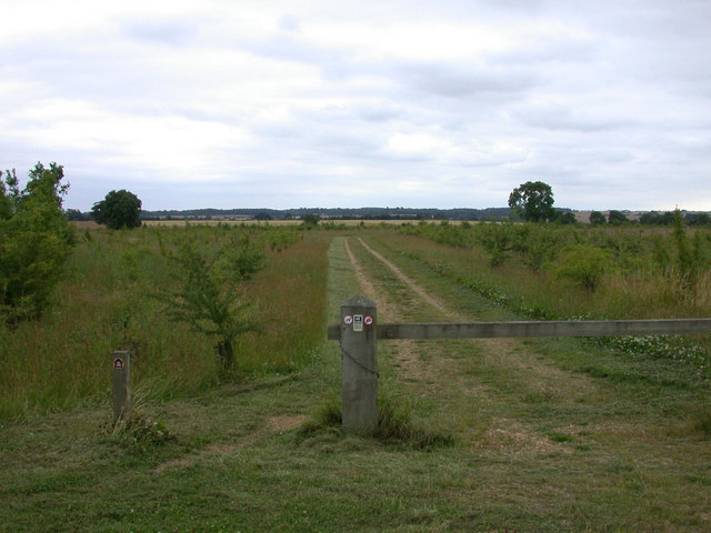
Lower Cambourne Images

Images are sourced within 2km of 52.217989/-0.07876351 or Grid Reference TL3159. Thanks to Geograph Open Source API. All images are credited.

Road to Pastures Farm, Caxton, Cambridgeshire
Caxton Gibbet, Caxton, Cambridgeshire
Inn, Caxton, Cambridgeshire
A1198 to Caxton Gibbet
A1198, Ermine Street, northbound A Roman road.
A1198, Ermine Street, northbound
A Roman road.
The entrance to Caxton Gibbet Services You can just see the gibbet on the left. It is the original one which has been kept as an artefact. <span class="nowrap"><a title="https://www.sabre-roads.org.uk/wiki/index.php?title=Caxton_Gibbet" rel="nofollow ugc noopener" href="https://www.sabre-roads.org.uk/wiki/index.php?title=Caxton_Gibbet">Link</a><img style="margin-left:2px;" alt="External link" title="External link - shift click to open in new window" src="https://s1.geograph.org.uk/img/external.png" width="10" height="10"/></span>
The entrance to Caxton Gibbet Services
You can just see the gibbet on the left. It is the original one which has been kept as an artefact. LinkExternal link
McDonald's at Caxton Gibbet Services The gibbet is on the left edge
McDonald's at Caxton Gibbet Services
The gibbet is on the left edge
The entrance to Caxton Gibbet Services
McDonald's at Caxton Gibbet Services There is indeed a genuine gibbet at the entrance.
McDonald's at Caxton Gibbet Services
There is indeed a genuine gibbet at the entrance.
Water Tower, St. Neots Road. This water tower is only just in square TL3160, but can be seen from the whole area.
Water Tower, St. Neots Road.
This water tower is only just in square TL3160, but can be seen from the whole area.
The old St. Neots Road This stretch of the old St. Neots Road near Cambourne, is soon to be replaced by the A428 dual carriageway.
The old St. Neots Road
This stretch of the old St. Neots Road near Cambourne, is soon to be replaced by the A428 dual carriageway.
St.Neots Road Postbox near New Inn Farm The odd shadow at the bottom of this photo is the photographer!
Postbox No.CB23 276
This Postbox has been renamed Monks Drive Postbox and has the new postbox number of CB3 393
St.Neots Road Postbox near New Inn Farm
The odd shadow at the bottom of this photo is the photographer! Postbox No.CB23 276 This Postbox has been renamed Monks Drive Postbox and has the new postbox number of CB3 393
The road that links Elsworth with Cambourne
Road bridge over the A428 This bridge takes traffic into Cambourne.
Road bridge over the A428
This bridge takes traffic into Cambourne.
Road sign to Boxworth Coldharbour Farm can be seen in the far distance.
Road sign to Boxworth
Coldharbour Farm can be seen in the far distance.
Public footpath sign to Knapwell
The lane to Lawn Farm
Lane to Cold Harbour Farm
Show me another place!

Lower Cambourne is located at Grid Ref: TL3159 (Lat: 52.217989, Lng: -0.07876351)

Administrative County: Cambridgeshire

District: South Cambridgeshire

Police Authority: Cambridgeshire

What 3 Words

///nuzzled.establish.standards. Near Cambourne, Cambridgeshire

Related Wikis

Cambourne Nature Reserve

Cambourne Nature Reserve is a 90 hectare nature reserve in Cambourne in Cambridgeshire. It is managed by the Wildlife Trust for Bedfordshire, Cambridgeshire...

Cambourne

Cambourne is a new settlement and civil parish in Cambridgeshire, England, in the district of South Cambridgeshire. It lies on the A428 road between Cambridge...

Cambourne Village College

Cambourne Village College is a mixed secondary school located in Cambourne, Cambridgeshire, England. It is a free school that opened in 2013, and is part...

Cambourne Church

Cambourne Church is a "local ecumenical partnership" between the Church of England, Baptist Union of Great Britain, Methodist Church of Great Britain and...

Nearby Amenities

Located within 500m of 52.217989,-0.07876351
Towards: Lower Cambourne
Lat/Long: 52.2170346/-0.0732539
Lower Cambourne
Is In: Cambourne,Cambridgeshire,England,UK
Place: suburb
Lat/Long: 52.218374/-0.0822536
Cambourne Wildlife trust nature reserve
Tourism: attraction
Lat/Long: 52.2136719/-0.0800464
Generator Output Electricity: yes
Generator Source: wind
Power: generator
Lat/Long: 52.2156921/-0.0757046
Noexit: yes
Lat/Long: 52.2184803/-0.0825543
Turning Circle
Lat/Long: 52.2164525/-0.07961
Collection Times: Mo-Fr 16:30; Sa 10:30
Note: this postbox has been removed
Operator: Royal Mail
Post Box Design: type_k
Post Box Type: pillar
Ref: CB23 551
Removed Amenity: post_box
Royal Cypher: EIIR
Source: survey
Lat/Long: 52.2180292/-0.075542
Artwork: sculpture
Tourism: artwork
Lat/Long: 52.2171531/-0.0818047
Bus Stop
Monkfield Park Primary School
Bench: no
Bin: no
Lit: yes
Naptan AtcoCode: 0500SCAMB001
Naptan Bearing: SW
Naptan CommonName: Monkfield Park Primary School
Naptan Indicator: near
Naptan Landmark: Monkfield Park Primary School
Naptan NaptanCode: cmbdtwdw
Naptan ShortCommonName: Primary School
Naptan Street: School Lane
Naptan Verified: no
Public Transport: platform
Shelter: no
Source: naptan_import
Tactile Paving: no
Lat/Long: 52.2172998/-0.072372
Bus Stop
Oaks Wood
Bench: no
Bin: no
Lit: yes
Naptan AtcoCode: 0500SCAMB002
Naptan Bearing: NW
Naptan CommonName: Oaks Wood
Naptan Indicator: opp
Naptan Landmark: Oaks Wood
Naptan NaptanCode: cmbdtwga
Naptan ShortCommonName: Oaks Wood
Naptan Street: School Lane
Naptan Verified: no
Public Transport: platform
Shelter: no
Source: naptan_import
Tactile Paving: no
Lat/Long: 52.2174033/-0.0748563
Bus Stop
Monkfield Park Primary School
Bench: no
Bin: no
Lit: yes
Naptan AtcoCode: 0500SCAMB003
Naptan Bearing: NE
Naptan CommonName: Monkfield Park Primary School
Naptan Indicator: opp
Naptan Landmark: Monkfield Park Primary School
Naptan NaptanCode: cmbdtwgd
Naptan ShortCommonName: Primary School
Naptan Street: School Lane
Naptan Verified: no
Public Transport: platform
Shelter: no
Source: naptan_import
Tactile Paving: no
Lat/Long: 52.2175854/-0.0722425
Bus Stop
Apley Way
Bench: no
Bin: no
Lit: yes
Naptan AtcoCode: 0500SCAMB013
Naptan Bearing: W
Naptan CommonName: Apley Way
Naptan Indicator: opp
Naptan Landmark: Apley Way
Naptan NaptanCode: cmbdtwjp
Naptan ShortCommonName: Apley Way
Naptan Street: School Lane
Naptan Verified: no
Public Transport: platform
Shelter: no
Source: naptan_import
Tactile Paving: no
Lat/Long: 52.2179611/-0.0781875
Bus Stop
Apley Way
Bench: no
Bin: no
Lit: yes
Naptan AtcoCode: 0500SCAMB014
Naptan Bearing: E
Naptan CommonName: Apley Way
Naptan Indicator: near
Naptan Landmark: Apley Way
Naptan NaptanCode: cmbdtwjt
Naptan ShortCommonName: Apley Way
Naptan Street: School Lane
Naptan Verified: no
Public Transport: platform
Shelter: no
Source: naptan_import
Tactile Paving: no
Lat/Long: 52.2180825/-0.0778828
Bus Stop
Woodfield Lane
Naptan AtcoCode: 0500SCAMB015
Naptan Bearing: NE
Naptan CommonName: Woodfield Lane
Naptan Indicator: near
Naptan Landmark: Woodfield Lane
Naptan NaptanCode: cmbdtwjw
Naptan ShortCommonName: Woodfield Lane
Naptan Street: School Lane
Naptan Verified: no
Public Transport: platform
Source: naptan_import
Lat/Long: 52.2169543/-0.0818454
Bus Stop
Woodfield Lane
Naptan AtcoCode: 0500SCAMB016
Naptan Bearing: SW
Naptan CommonName: Woodfield Lane
Naptan Indicator: opp
Naptan Landmark: Woodfield Lane
Naptan NaptanCode: cmbdtwma
Naptan ShortCommonName: Woodfield Lane
Naptan Street: School Lane
Naptan Verified: no
Public Transport: platform
Source: naptan_import
Lat/Long: 52.2170179/-0.0811258
Note: Citi 4 terminates here, hence the split way
Lat/Long: 52.2169458/-0.0818406
Barrier: block
Lat/Long: 52.2222292/-0.0777969
Barrier: block
Lat/Long: 52.2222686/-0.0777466
Barrier: block
Lat/Long: 52.2222822/-0.0777298
Barrier: block
Lat/Long: 52.2222177/-0.0778102
Barrier: block
Lat/Long: 52.2222945/-0.0777137
Barrier: block
Lat/Long: 52.2222559/-0.0777633
Barrier: block
Lat/Long: 52.2222424/-0.0777814
Crossing
Crossing: unmarked
Crossing Island: no
Kerb: flush
Tactile Paving: no
Lat/Long: 52.2177528/-0.0800332
Crossing
Crossing: unmarked
Crossing Island: no
Kerb: lowered
Tactile Paving: no
Lat/Long: 52.2171758/-0.0738081
Crossing
Crossing: unmarked
Crossing Island: no
Kerb: lowered
Tactile Paving: no
Lat/Long: 52.2180638/-0.0782047
Crossing
Crossing: unmarked
Crossing Island: no
Kerb: lowered
Tactile Paving: no
Lat/Long: 52.2181501/-0.076516
Crossing
Crossing: unmarked
Crossing Island: no
Kerb: lowered
Tactile Paving: no
Lat/Long: 52.2183249/-0.080749
Crossing
Crossing: unmarked
Crossing Island: no
Kerb: flush
Tactile Paving: no
Lat/Long: 52.2189257/-0.0814629
Crossing
Crossing: unmarked
Crossing Island: no
Kerb: flush
Tactile Paving: no
Lat/Long: 52.2202086/-0.0816729
Crossing
Crossing: unmarked
Crossing Island: no
Kerb: flush
Tactile Paving: no
Lat/Long: 52.2198937/-0.0818323
Crossing
Crossing: unmarked
Crossing Island: no
Kerb: flush
Tactile Paving: no
Lat/Long: 52.2193338/-0.0815067
Crossing
Crossing: unmarked
Crossing Island: no
Kerb: flush
Tactile Paving: no
Lat/Long: 52.219442/-0.0816682
Crossing
Crossing: unmarked
Crossing Island: no
Kerb: lowered
Tactile Paving: no
Lat/Long: 52.2185407/-0.080974
Crossing
Crossing: unmarked
Crossing Island: no
Kerb: lowered
Tactile Paving: no
Lat/Long: 52.2190311/-0.0811093
Turning Circle
Lat/Long: 52.2160606/-0.0792647
Turning Circle
Lat/Long: 52.2165534/-0.0798026
Barrier: bollard
Lat/Long: 52.2159179/-0.0811724
Barrier: bollard
Lat/Long: 52.2159377/-0.0811791
Barrier: bollard
Lat/Long: 52.215899/-0.0811664
Barrier: bollard
Lat/Long: 52.215088/-0.0744581
Barrier: bollard
Lat/Long: 52.2150867/-0.0745003
Turning Circle
Lat/Long: 52.216867/-0.0782066
Turning Circle
Lat/Long: 52.2165112/-0.0786491
Entrance: yes
Lat/Long: 52.2167545/-0.0847202
Entrance: yes
Lat/Long: 52.2168515/-0.0847892
Entrance: yes
Lat/Long: 52.2171664/-0.0856994
Entrance: yes
Lat/Long: 52.217091/-0.0853134
Entrance: yes
Lat/Long: 52.217236/-0.0858719
Entrance: yes
Lat/Long: 52.2169692/-0.0848507
Entrance: yes
Lat/Long: 52.2170284/-0.0851562
Addr City: Cambridge
Addr Country: GB
Addr Housenumber: 1
Addr Locality: Lower Cambourne
Addr Postcode: CB23 5EJ
Addr Street: Damson Way
Addr Town: Cambourne
Lat/Long: 52.2178809/-0.0774767
Addr City: Cambridge
Addr Country: GB
Addr Housenumber: 29
Addr Locality: Lower Cambourne
Addr Postcode: CB23 5DZ
Addr Street: School Lane
Addr Town: Cambourne
Lat/Long: 52.21792/-0.0773498
Addr City: Cambridge
Addr Country: GB
Addr Housenumber: 27
Addr Locality: Lower Cambourne
Addr Postcode: CB23 5DZ
Addr Street: School Lane
Addr Town: Cambourne
Lat/Long: 52.2178608/-0.0772969
Addr City: Cambridge
Addr Country: GB
Addr Housenumber: 31
Addr Locality: Lower Cambourne
Addr Postcode: CB23 5DZ
Addr Street: School Lane
Addr Town: Cambourne
Lat/Long: 52.2179247/-0.077386
Entrance: yes
Lat/Long: 52.2173181/-0.0775697
Entrance: yes
Lat/Long: 52.2173615/-0.0776282
Entrance: yes
Lat/Long: 52.2175003/-0.0780656
Entrance: yes
Lat/Long: 52.2174154/-0.0781121
Entrance: yes
Lat/Long: 52.2171922/-0.0777491
Entrance: yes
Lat/Long: 52.2174579/-0.0780889
Entrance: yes
Lat/Long: 52.2173576/-0.077983
Entrance: yes
Lat/Long: 52.2172473/-0.0778271
Entrance: yes
Lat/Long: 52.2175067/-0.0778487
Entrance: yes
Lat/Long: 52.2175096/-0.0776874
Entrance: yes
Lat/Long: 52.2174342/-0.0787056
Entrance: yes
Lat/Long: 52.2173958/-0.0787116
Entrance: yes
Lat/Long: 52.2174726/-0.0786995
Entrance: yes
Lat/Long: 52.217511/-0.0786935
Entrance: yes
Lat/Long: 52.2169927/-0.0782027
Entrance: yes
Lat/Long: 52.2172652/-0.0787117
Entrance: yes
Lat/Long: 52.2170856/-0.0787368
Entrance: yes
Lat/Long: 52.2168042/-0.0782753
Entrance: yes
Lat/Long: 52.2165743/-0.0790963
Entrance: yes
Lat/Long: 52.2167845/-0.0791808
Entrance: yes
Lat/Long: 52.216979/-0.0788793
Entrance: yes
Lat/Long: 52.2165582/-0.079476
Entrance: yes
Lat/Long: 52.216123/-0.0792108
Entrance: yes
Lat/Long: 52.2165953/-0.0800247
Entrance: yes
Lat/Long: 52.2167074/-0.0800567
Entrance: yes
Lat/Long: 52.21667/-0.080046
Entrance: yes
Lat/Long: 52.2167448/-0.0800673
Entrance: yes
Lat/Long: 52.2166326/-0.0800354
Entrance: yes
Lat/Long: 52.2168522/-0.0799695
Entrance: yes
Lat/Long: 52.2169285/-0.0798305
Entrance: yes
Lat/Long: 52.2168776/-0.0799232
Entrance: yes
Lat/Long: 52.2169031/-0.0798769
Entrance: yes
Lat/Long: 52.2168268/-0.0800158
Entrance: yes
Lat/Long: 52.216932/-0.0796409
Entrance: yes
Lat/Long: 52.216942/-0.0796999
Entrance: yes
Lat/Long: 52.2169121/-0.0795229
Entrance: yes
Lat/Long: 52.2169221/-0.0795819
Entrance: yes
Lat/Long: 52.2169021/-0.0794639
Noexit: yes
Lat/Long: 52.2162062/-0.0844307
Entrance: yes
Lat/Long: 52.2161857/-0.0846302
Entrance: yes
Lat/Long: 52.2162299/-0.0844971
Entrance: yes
Lat/Long: 52.2161558/-0.0848091
Entrance: yes
Lat/Long: 52.2160765/-0.0850153
Noexit: yes
Lat/Long: 52.2160659/-0.0849624
Entrance: yes
Lat/Long: 52.2160107/-0.0852679
Entrance: yes
Lat/Long: 52.2162982/-0.0842006
Entrance: yes
Lat/Long: 52.2166593/-0.083785
Entrance: yes
Lat/Long: 52.2165886/-0.0839119
Entrance: yes
Lat/Long: 52.2166354/-0.0838278
Entrance: yes
Lat/Long: 52.216405/-0.0840165
Entrance: yes
Lat/Long: 52.2165676/-0.0843696
Entrance: yes
Lat/Long: 52.2166509/-0.0843879
Entrance: yes
Lat/Long: 52.2169769/-0.0846434
Entrance: yes
Lat/Long: 52.2168537/-0.0845355
Entrance: yes
Lat/Long: 52.2169453/-0.0846159
Entrance: yes
Lat/Long: 52.2171494/-0.0848216
Entrance: yes
Lat/Long: 52.2168867/-0.0845646
Entrance: yes
Lat/Long: 52.2167847/-0.0844744
Entrance: yes
Lat/Long: 52.2170567/-0.0847124
Entrance: yes
Lat/Long: 52.2170244/-0.0846844
Entrance: yes
Lat/Long: 52.2171195/-0.0847668
Entrance: yes
Lat/Long: 52.2168052/-0.0844925
Entrance: yes
Lat/Long: 52.2171607/-0.0848603
Entrance: yes
Lat/Long: 52.2172167/-0.0794709
Entrance: yes
Lat/Long: 52.2174392/-0.078996
Entrance: yes
Lat/Long: 52.2173249/-0.0790144
Entrance: yes
Lat/Long: 52.2174011/-0.0790021
Entrance: yes
Lat/Long: 52.217363/-0.0790082
Crossing
Crossing: unmarked
Crossing Island: no
Kerb: flush
Tactile Paving: no
Lat/Long: 52.2179896/-0.0785
Barrier: bollard
Lat/Long: 52.2185515/-0.0824548
Barrier: bollard
Lat/Long: 52.2185942/-0.0826238
Barrier: bollard
Lat/Long: 52.2186229/-0.0823515
Barrier: bollard
Lat/Long: 52.2184911/-0.0825266
Barrier: bollard
Lat/Long: 52.218655/-0.0823697
Barrier: bollard
Lat/Long: 52.218579/-0.0826325
Barrier: bollard
Lat/Long: 52.2185219/-0.0825889
Barrier: bollard
Lat/Long: 52.2185276/-0.0824568
Barrier: bollard
Lat/Long: 52.2186447/-0.0823469
Barrier: bollard
Lat/Long: 52.2185658/-0.0825024
Barrier: bollard
Lat/Long: 52.2185921/-0.0824615
Barrier: bollard
Lat/Long: 52.2185412/-0.0825359
Barrier: bollard
Lat/Long: 52.2185753/-0.0824166
Barrier: bollard
Lat/Long: 52.2185995/-0.0827318
Barrier: bollard
Lat/Long: 52.218487/-0.0824709
Barrier: bollard
Lat/Long: 52.2185991/-0.0823851
Barrier: height_restrictor
Maxheight: 2.1
Lat/Long: 52.2177234/-0.0749348
Barrier: yes
Lat/Long: 52.2182027/-0.0855866
Entrance: yes
Lat/Long: 52.2170522/-0.0828843
Bicycle Parking
Bicycle Parking: stands
Capacity: 20
Covered: no
Lat/Long: 52.2170138/-0.0830053
Defibrillator
Defibrillator Location: On outside wall of Lower Cambourne Co-op, to left of entrance.
Emergency: defibrillator
Indoor: no
Lat/Long: 52.2170452/-0.0829063
Artwork Type: sculpture
Tourism: artwork
Lat/Long: 52.222108/-0.0766725
Leisure: picnic_table
Lat/Long: 52.2221425/-0.0766617
Biochrom Ltd
Addr Housenumber: 1020
Addr Postcode: CB23 6DW
Addr Street: Cambourne Business Park
Lat/Long: 52.220718/-0.0733183
Premier Travel
Addr Housenumber: 1020
Addr Postcode: CB23 6DW
Addr Street: Cambourne Business Park
Lat/Long: 52.2207213/-0.0730662
Information: board
Tourism: information
Lat/Long: 52.215085/-0.077289
Information: board
Tourism: information
Lat/Long: 52.2153218/-0.077206
Information: board
Tourism: information
Lat/Long: 52.2163181/-0.0765969
Information: board
Tourism: information
Lat/Long: 52.2173084/-0.0763306
Information: board
Tourism: information
Lat/Long: 52.2174384/-0.07628
Bench
Backrest: no
Lat/Long: 52.2136812/-0.0779745
Bench
Backrest: yes
Lat/Long: 52.2142757/-0.0777217
Bench
Backrest: yes
Lat/Long: 52.2146036/-0.0774226
Bench
Lat/Long: 52.2161835/-0.076569
Bench
Lat/Long: 52.2162369/-0.0766106
Barrier: cycle_barrier
Cycle Barrier: double
Lat/Long: 52.2178665/-0.0758816
Bench
Backrest: no
Lat/Long: 52.2186716/-0.0748638
Bench
Backrest: yes
Lat/Long: 52.2198182/-0.0723392
Bench
Backrest: no
Lat/Long: 52.2193322/-0.0752165
Bench
Backrest: no
Lat/Long: 52.2189453/-0.0742783
Bench
Backrest: no
Lat/Long: 52.2182399/-0.0753406
Board Type: nature
Information: board
Tourism: information
Lat/Long: 52.2179831/-0.075346
Leisure: fishing
Lat/Long: 52.2183157/-0.0753396
Board Type: nature
Information: board
Tourism: information
Lat/Long: 52.2182543/-0.0753932
Waste Basket
Lat/Long: 52.2180575/-0.0755578
Barrier: cycle_barrier
Cycle Barrier: double
Lat/Long: 52.2177741/-0.0757154
Bench
Lat/Long: 52.2153283/-0.0773851
Bench
Lat/Long: 52.2137375/-0.0770558
Information: board
Tourism: information
Lat/Long: 52.215597/-0.079266
Bench
Lat/Long: 52.2167531/-0.0774622
Information: board
Tourism: information
Lat/Long: 52.2156141/-0.0795111
Entrance: yes
Lat/Long: 52.2173025/-0.0779051
Entrance: yes
Lat/Long: 52.2164449/-0.0799748
Entrance: yes
Lat/Long: 52.216849/-0.079274
Entrance: yes
Lat/Long: 52.2172371/-0.0796851
Entrance: yes
Lat/Long: 52.2170519/-0.0790063
Entrance: yes
Lat/Long: 52.2160116/-0.0793528
Entrance: yes
Lat/Long: 52.2172494/-0.0789504
Entrance: yes
Lat/Long: 52.2175092/-0.0789054
Entrance: yes
Lat/Long: 52.2175473/-0.0788991
Entrance: yes
Lat/Long: 52.2175854/-0.0788928
Entrance: yes
Lat/Long: 52.2176235/-0.0788865
Noexit: yes
Lat/Long: 52.2186494/-0.0823975
Entrance: yes
Lat/Long: 52.2177202/-0.0836435
Entrance: yes
Lat/Long: 52.21771/-0.0835929
Entrance: yes
Lat/Long: 52.2176472/-0.0833005
Entrance: yes
Lat/Long: 52.2176578/-0.0833538
Entrance: yes
Lat/Long: 52.2176617/-0.0834779
Addr City: Cambridge
Addr Country: GB
Addr Housenumber: 4
Addr Locality: Lower Cambourne
Addr Postcode: CB23 6FH
Addr Street: Sweetentree Way
Addr Town: Cambourne
Lat/Long: 52.2177749/-0.0824565
Addr City: Cambridge
Addr Country: GB
Addr Housenumber: 1
Addr Locality: Lower Cambourne
Addr Postcode: CB23 6FH
Addr Street: Sweetentree Way
Addr Town: Cambourne
Lat/Long: 52.2177502/-0.0825383
Entrance: main
Lat/Long: 52.2177301/-0.0824625
Entrance: yes
Lat/Long: 52.2172012/-0.085073
Entrance: yes
Lat/Long: 52.2172169/-0.0851324
Entrance: yes
Lat/Long: 52.2172485/-0.0852513
Entrance: yes
Lat/Long: 52.2172642/-0.0853107
Entrance: yes
Lat/Long: 52.21728/-0.0853702
Entrance: yes
Lat/Long: 52.2172958/-0.0854296
Entrance: yes
Lat/Long: 52.2173273/-0.0855485
Entrance: yes
Lat/Long: 52.2173431/-0.085608
Entrance: yes
Lat/Long: 52.2173589/-0.0856674
Entrance: yes
Lat/Long: 52.2173673/-0.0849999
Addr City: Cambridge
Addr Country: GB
Addr Housenumber: 23
Addr Locality: Lower Cambourne
Addr Postcode: CB23 6FD
Addr Street: Woodfield Lane
Addr Town: Cambourne
Entrance: yes
Lat/Long: 52.217733/-0.084267
Addr City: Cambridge
Addr Country: GB
Addr Housenumber: 21
Addr Locality: Lower Cambourne
Addr Postcode: CB23 6FD
Addr Street: Woodfield Lane
Addr Town: Cambourne
Entrance: yes
Lat/Long: 52.2177477/-0.0842173
Addr City: Cambridge
Addr Country: GB
Addr Housenumber: 18
Addr Locality: Lower Cambourne
Addr Postcode: CB23 5FW
Addr Street: Hop Gardens
Addr Town: Cambourne
Entrance: yes
Lat/Long: 52.217461/-0.0844587
Addr City: Cambridge
Addr Country: GB
Addr Housenumber: 16
Addr Locality: Lower Cambourne
Addr Postcode: CB23 5FW
Addr Street: Hop Gardens
Addr Town: Cambourne
Entrance: yes
Lat/Long: 52.2175004/-0.0844856
Addr City: Cambridge
Addr Country: GB
Addr Housenumber: 14
Addr Locality: Lower Cambourne
Addr Postcode: CB23 5FW
Addr Street: Hop Gardens
Addr Town: Cambourne
Entrance: yes
Lat/Long: 52.2175275/-0.0843917
Addr City: Cambridge
Addr Country: GB
Addr Housenumber: 12
Addr Locality: Lower Cambourne
Addr Postcode: CB23 5FW
Addr Street: Hop Gardens
Addr Town: Cambourne
Entrance: yes
Lat/Long: 52.2174865/-0.0843555
Addr City: Cambridge
Addr Country: GB
Addr Housenumber: 10
Addr Locality: Lower Cambourne
Addr Postcode: CB23 5FW
Addr Street: Hop Gardens
Addr Town: Cambourne
Entrance: yes
Lat/Long: 52.2174667/-0.0842066
Addr City: Cambridge
Addr Country: GB
Addr Housenumber: 8
Addr Locality: Lower Cambourne
Addr Postcode: CB23 5FW
Addr Street: Hop Gardens
Addr Town: Cambourne
Entrance: yes
Lat/Long: 52.2174823/-0.0841557
Addr City: Cambridge
Addr Country: GB
Addr Housenumber: 6
Addr Locality: Lower Cambourne
Addr Postcode: CB23 5FW
Addr Street: Hop Gardens
Addr Town: Cambourne
Entrance: yes
Lat/Long: 52.2174043/-0.0841516
Addr City: Cambridge
Addr Country: GB
Addr Housenumber: 4
Addr Locality: Lower Cambourne
Addr Postcode: CB23 5FW
Addr Street: Hop Gardens
Addr Town: Cambourne
Entrance: yes
Lat/Long: 52.2174224/-0.0840966
Addr City: Cambridge
Addr Country: GB
Addr Housenumber: 2
Addr Locality: Lower Cambourne
Addr Postcode: CB23 5FW
Addr Street: Hop Gardens
Addr Town: Cambourne
Entrance: yes
Lat/Long: 52.2177213/-0.0838624
Addr City: Cambridge
Addr Country: GB
Addr Housenumber: 19
Addr Locality: Lower Cambourne
Addr Postcode: CB23 6FD
Addr Street: Woodfield Lane
Addr Town: Cambourne
Entrance: yes
Lat/Long: 52.2177578/-0.0840749
Addr City: Cambridge
Addr Country: GB
Addr Housenumber: 17
Addr Locality: Lower Cambourne
Addr Postcode: CB23 6FD
Addr Street: Woodfield Lane
Addr Town: Cambourne
Entrance: yes
Lat/Long: 52.2178074/-0.0840137
Addr City: Cambridge
Addr Country: GB
Addr Housenumber: 15
Addr Locality: Lower Cambourne
Addr Postcode: CB23 6FD
Addr Street: Woodfield Lane
Addr Town: Cambourne
Entrance: yes
Lat/Long: 52.2177796/-0.0838732
Addr City: Cambridge
Addr Country: GB
Addr Housenumber: 27
Addr Locality: Lower Cambourne
Addr Postcode: CB23 6FD
Addr Street: Woodfield Lane
Addr Town: Cambourne
Entrance: yes
Lat/Long: 52.2177921/-0.0843206
Addr City: Cambridge
Addr Country: GB
Addr Housenumber: 25
Addr Locality: Lower Cambourne
Addr Postcode: CB23 6FD
Addr Street: Woodfield Lane
Addr Town: Cambourne
Entrance: yes
Lat/Long: 52.2178044/-0.0842763
Addr City: Cambridge
Addr Country: GB
Addr Housenumber: 80
Addr Locality: Lower Cambourne
Addr Postcode: CB23 6ES
Addr Street: Swansley Lane
Addr Town: Cambourne
Lat/Long: 52.220865/-0.0803388
Addr City: Cambridge
Addr Country: GB
Addr Housenumber: 84
Addr Locality: Lower Cambourne
Addr Postcode: CB23 6ES
Addr Street: Swansley Lane
Addr Town: Cambourne
Lat/Long: 52.2208343/-0.0804874
Addr City: Cambridge
Addr Country: GB
Addr Housenumber: 82
Addr Locality: Lower Cambourne
Addr Postcode: CB23 6ES
Addr Street: Swansley Lane
Addr Town: Cambourne
Lat/Long: 52.2208968/-0.0805552
Addr City: Cambridge
Addr Country: GB
Addr Housenumber: 78
Addr Locality: Lower Cambourne
Addr Postcode: CB23 6ES
Addr Street: Swansley Lane
Addr Town: Cambourne
Lat/Long: 52.2209406/-0.0804744
Entrance: yes
Lat/Long: 52.2193442/-0.0806379
Entrance: yes
Lat/Long: 52.2193433/-0.0805239
Entrance: yes
Lat/Long: 52.2193092/-0.0801632
Entrance: yes
Lat/Long: 52.2193339/-0.0802242
Entrance: yes
Lat/Long: 52.219453/-0.0803496
Entrance: yes
Lat/Long: 52.2193959/-0.0803301
Entrance: yes
Lat/Long: 52.2193614/-0.080296
Entrance: yes
Lat/Long: 52.2195403/-0.0803795
Entrance: yes
Lat/Long: 52.2196251/-0.0803333
Entrance: yes
Lat/Long: 52.2193378/-0.0808032
Entrance: yes
Lat/Long: 52.2192874/-0.0808891
Entrance: yes
Lat/Long: 52.2192414/-0.0809676
Entrance: yes
Lat/Long: 52.2191951/-0.0810464
Entrance: yes
Lat/Long: 52.2191178/-0.0811647
Addr City: Cambridge
Addr Country: GB
Addr Housenumber: 111
Addr Locality: Lower Cambourne
Addr Postcode: CB23 5DR
Addr Street: School Lane
Addr Town: Cambourne
Lat/Long: 52.2164848/-0.0832077
Addr City: Cambridge
Addr Country: GB
Addr Housenumber: 105
Addr Locality: Lower Cambourne
Addr Postcode: CB23 5DR
Addr Street: School Lane
Addr Town: Cambourne
Lat/Long: 52.216498/-0.0831536
Entrance: main
Lat/Long: 52.2165111/-0.0831947
Addr City: Cambridge
Addr Country: GB
Addr Housenumber: 123
Addr Locality: Lower Cambourne
Addr Postcode: CB23 5DR
Addr Street: School Lane
Addr Town: Cambourne
Lat/Long: 52.2163407/-0.0833275
Addr City: Cambridge
Addr Country: GB
Addr Housenumber: 113
Addr Locality: Lower Cambourne
Addr Postcode: CB23 5DR
Addr Street: School Lane
Addr Town: Cambourne
Lat/Long: 52.2163727/-0.083353
Entrance: main
Lat/Long: 52.2163501/-0.0833704
Bench
Backrest: yes
Lat/Long: 52.2185404/-0.0845704
Information: guidepost
Tourism: information
Lat/Long: 52.2179306/-0.075475
Bench
Backrest: no
Lat/Long: 52.2186912/-0.0748782
Waste Basket
Lat/Long: 52.2208111/-0.0823639
Grit Bin
Lat/Long: 52.220754/-0.0820887
Waste Basket
Lat/Long: 52.2195212/-0.0831706
Waste Basket
Lat/Long: 52.2176931/-0.0748336
Board Type: rules
Information: board
Tourism: information
Lat/Long: 52.2181631/-0.0756021
Information: map
Tourism: information
Lat/Long: 52.2178079/-0.0750388
Board Type: nature
Information: board
Tourism: information
Lat/Long: 52.2178036/-0.0750509
Board Type: nature
Information: board
Tourism: information
Lat/Long: 52.2205934/-0.0790112
Board Type: nature
Information: board
Tourism: information
Lat/Long: 52.2186836/-0.0739022
The data included in this document is from www.openstreetmap.org. The data is made available under ODbL.

Have you been to Lower Cambourne?

Leave your review of Lower Cambourne below (or comments, questions and feedback).