Greenhill Copse

Wood, Forest in Hampshire New Forest

England

Greenhill Copse

The Rufus Stone
The Rufus Stone Credit: Helen Steed

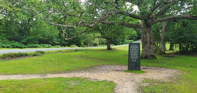
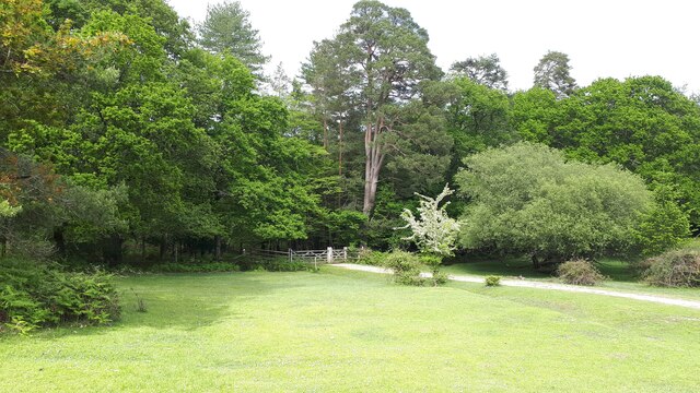
Greenhill Copse is a picturesque woodland located in Hampshire, England. Spanning approximately 50 acres, this dense forest offers a serene and tranquil environment for nature enthusiasts and outdoor lovers alike.

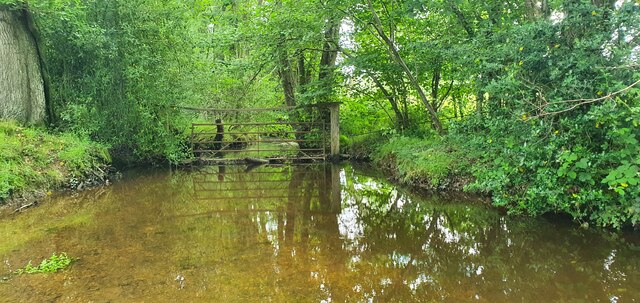
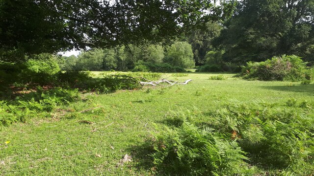
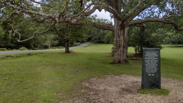
The copse is predominantly composed of deciduous trees, including oak, beech, and birch, which create a vibrant and colorful canopy during the autumn months. The forest floor is covered in a lush carpet of ferns, mosses, and wildflowers, adding to the enchanting atmosphere.

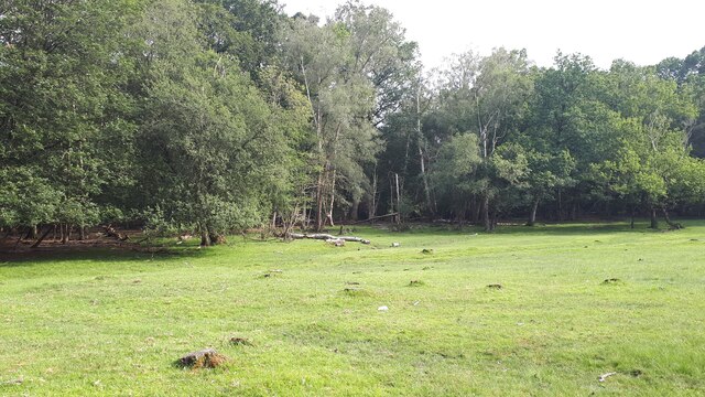
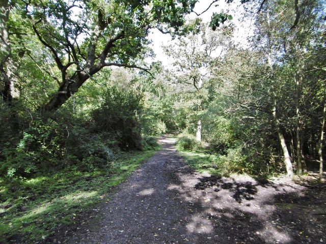
Traversing through Greenhill Copse is made easy by a well-maintained network of footpaths and trails that wind their way through the trees. These paths offer visitors the opportunity to explore the copse at their own pace, admiring the diverse flora and fauna along the way. Birdwatchers will be delighted by the variety of bird species that call Greenhill Copse home, including woodpeckers, thrushes, and owls.

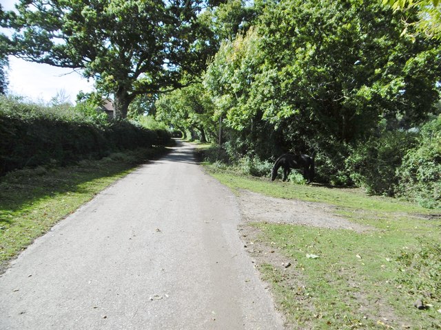
The copse is also home to a rich variety of wildlife, providing a natural habitat for creatures such as deer, squirrels, and rabbits. Nature enthusiasts can spot these animals in their natural habitat, making for a memorable and immersive experience.

Greenhill Copse is a popular destination for families, as it offers a range of recreational activities. Picnic areas and benches are scattered throughout the woodland, providing a perfect spot for a leisurely lunch or a moment of relaxation. Additionally, children can enjoy the copse's natural playground, climbing trees, and exploring the forest's nooks and crannies.

Overall, Greenhill Copse is a beautiful and diverse woodland, providing a haven for nature lovers and a space for families to connect with the great outdoors.

If you have any feedback on the listing, please let us know in the comments section below.

Greenhill Copse Images

Images are sourced within 2km of 50.920553/-1.6104411 or Grid Reference SU2713. Thanks to Geograph Open Source API. All images are credited.

The Rufus Stone
The Rufus Stone
King's Garn Gutter
King's Garn Gutter
Forest lawn on lower edge of Brook Wood
View across clearing in Brook Wood
Minstead : The A31 Looking along the A31.
Minstead : The A31
Looking along the A31.
Minstead : The A31 Looking along the A31.
Minstead : The A31
Looking along the A31.
Rufus Stone Rufus Stone encased in a protective cover
Rufus Stone
Rufus Stone encased in a protective cover
Lane to Brook Lane to Brook passing the Sir Walter Tyrell pub
Lane to Brook
Lane to Brook passing the Sir Walter Tyrell pub
The Compton Arms, Stoney Cross c.1970 Before it became the corporate and characterless Little Chef and the Travelodge of today, The Compton Arms was a long established country inn - a free house, with a reputation for fine food and good ale. Named after a local squire, Henry Compton, its origins lie much further back than when this photograph was taken. In the 18th century it was a posting inn that catered for the local gentry by supplying horses and post chaises for hire, and because of the number of influential personages residing in the locality, a Post Office was established at the inn in 1837. This would have benefitted the local inhabitants considerably, as Stoney Cross was on the mail coach route from London to Poole via Southampton. Interestingly, although the building long ago had given up its post office, in 2008 it still retained its now disused Edwardian GPO postbox. <a title="https://www.geograph.org.uk/photo/962737" href="https://www.geograph.org.uk/photo/962737">Link</a>

At sometime in the past, in order to accommodate the ever increasing number of motorists, the building had been sensitively extended to the east, the extension incorporating a new bay window to match the old one to the west. Since then, the old coaching inn has been remodelled, and now compares unfavourably with the photo above in this Sept. 2021 Streetview image: <span class="nowrap"><a title="https://media.geograph.org.uk/files/7eabe3a1649ffa2b3ff8c02ebfd5659f/Compton_Arms_GE-original.jpg" rel="nofollow ugc noopener" href="https://media.geograph.org.uk/files/7eabe3a1649ffa2b3ff8c02ebfd5659f/Compton_Arms_GE-original.jpg">Link</a><img style="margin-left:2px;" alt="External link" title="External link - shift click to open in new window" src="https://s1.geograph.org.uk/img/external.png" width="10" height="10"/></span> 

The Compton Arms - early 20th century: <span class="nowrap"><a title="https://media.geograph.org.uk/files/7eabe3a1649ffa2b3ff8c02ebfd5659f/MGPC004-original.jpg" rel="nofollow ugc noopener" href="https://media.geograph.org.uk/files/7eabe3a1649ffa2b3ff8c02ebfd5659f/MGPC004-original.jpg">Link</a><img style="margin-left:2px;" alt="External link" title="External link - shift click to open in new window" src="https://s1.geograph.org.uk/img/external.png" width="10" height="10"/></span>
The Compton Arms, Stoney Cross c.1970
Before it became the corporate and characterless Little Chef and the Travelodge of today, The Compton Arms was a long established country inn - a free house, with a reputation for fine food and good ale. Named after a local squire, Henry Compton, its origins lie much further back than when this photograph was taken. In the 18th century it was a posting inn that catered for the local gentry by supplying horses and post chaises for hire, and because of the number of influential personages residing in the locality, a Post Office was established at the inn in 1837. This would have benefitted the local inhabitants considerably, as Stoney Cross was on the mail coach route from London to Poole via Southampton. Interestingly, although the building long ago had given up its post office, in 2008 it still retained its now disused Edwardian GPO postbox. Link At sometime in the past, in order to accommodate the ever increasing number of motorists, the building had been sensitively extended to the east, the extension incorporating a new bay window to match the old one to the west. Since then, the old coaching inn has been remodelled, and now compares unfavourably with the photo above in this Sept. 2021 Streetview image: LinkExternal link The Compton Arms - early 20th century: LinkExternal link
Signage - M27 southbound
Signage - A31 northbound
Track emerging from woods at bottom of Longbeech Campsite
No Access to the A31 The lane on the right leads from the A31 westbound, but the far section operates as a one-way off ramp.  The sign suggests numerous unsuccessful - and highly dangerous - attempts have been made to join to the dual carriageway.
No Access to the A31
The lane on the right leads from the A31 westbound, but the far section operates as a one-way off ramp. The sign suggests numerous unsuccessful - and highly dangerous - attempts have been made to join to the dual carriageway.
Cadnam, byway From Storm's Farm to Kewlake Lane.
Cadnam, byway
From Storm's Farm to Kewlake Lane.
Cadnam, track Along the southern boundary of Cadnam Common.
Cadnam, track
Along the southern boundary of Cadnam Common.
Show me another place!

Greenhill Copse is located at Grid Ref: SU2713 (Lat: 50.920553, Lng: -1.6104411)

Administrative County: Hampshire

District: New Forest

Police Authority: Hampshire

What 3 Words

///emporium.weekends.props. Near Cadnam, Hampshire

Related Wikis

Brook, New Forest

Brook is a hamlet in the civil parish of Bramshaw, in Hampshire, England. It lies just inside the New Forest. The hamlet contains a mix of 18th and 19th...

Upper Canterton

Upper Canterton is a village in Hampshire, England, located at 50°54′36″N 1°37′24″W. It is near Minstead. == References == The geographic coordinates are...

Minstead

Minstead is a small village and civil parish in the New Forest, Hampshire, about 2 miles (3.2 km) north of Lyndhurst. There is a shop and a pub, the Trusty...

Bartley Lodge

Bartley Lodge is a country house near Cadnam in Hampshire, England, within the boundaries of the New Forest National Park. It was built in the 18th century...

Cadnam

Cadnam is a village situated in Hampshire, England, within the boundaries of the New Forest National Park. The village has existed since the medieval period...

Minstead Lodge

Minstead Lodge in Hampshire is a building of historical significance built in about 1830 and is Grade II listed on the English Heritage Register. Today...

Bramshaw

Bramshaw is a small village and civil parish in Hampshire, England. It lies just inside the New Forest. The name Bramshaw means Bramble Wood. Until 1895...

Bartley, Hampshire

Bartley is a village in Hampshire, England, within the boundaries of the New Forest National Park, seven miles (11 km) west of Southampton. == Overview... ==

Nearby Amenities

Located within 500m of 50.920553,-1.6104411
Odbl: clean
Lat/Long: 50.924226/-1.6091889
Lower Canterton
Place: hamlet
Lat/Long: 50.917277/-1.6072531
Greenhill Copse
Place: locality
Lat/Long: 50.9195171/-1.6127569
Hunting Stand
Lat/Long: 50.9191304/-1.6114545
Ford: yes
Lat/Long: 50.9200492/-1.6051661
The data included in this document is from www.openstreetmap.org. The data is made available under ODbL.

Have you been to Greenhill Copse?

Leave your review of Greenhill Copse below (or comments, questions and feedback).