Blackdene Wood

Wood, Forest in Durham

England

Blackdene Wood

B6312 nears A167 roundabout
B6312 nears A167 roundabout Credit: Colin Pyle

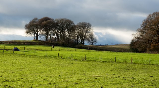
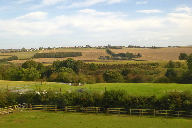
Blackdene Wood is a picturesque woodland located in the county of Durham, England. Spanning over an area of approximately 100 hectares, this enchanting forest is nestled in the heart of the North Pennines Area of Outstanding Natural Beauty. The wood is situated near the village of Blanchland, and its tranquil atmosphere and natural beauty make it a popular destination for nature lovers and outdoor enthusiasts.

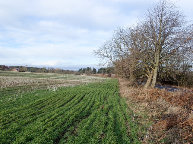
The woodland is primarily composed of native broadleaf trees such as oak, birch, and beech, creating a rich and diverse ecosystem. These trees provide a dense canopy that filters sunlight, resulting in a shaded and cool environment even on hot summer days. The forest floor is carpeted with a variety of plant species, including bluebells, wood anemones, and wild garlic, which create a stunning display of colors during the spring season.

Blackdene Wood is home to a wide range of wildlife, including deer, foxes, badgers, and numerous bird species. Visitors may have the opportunity to spot woodpeckers, owls, and various songbirds as they explore the forest. The wood also offers habitat for rare and protected species, such as the red squirrel and the dormouse, adding to its ecological significance.

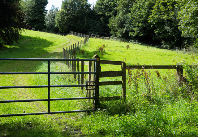
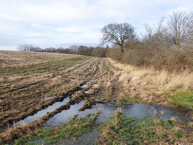
The woodland features a network of well-maintained footpaths and trails, allowing visitors to explore its beauty at their leisure. These paths wind through the trees and provide glimpses of small streams and picturesque clearings, creating a sense of tranquility and serenity.

Overall, Blackdene Wood in Durham is a captivating natural treasure, offering visitors the chance to immerse themselves in the beauty of a diverse and thriving woodland ecosystem.

If you have any feedback on the listing, please let us know in the comments section below.

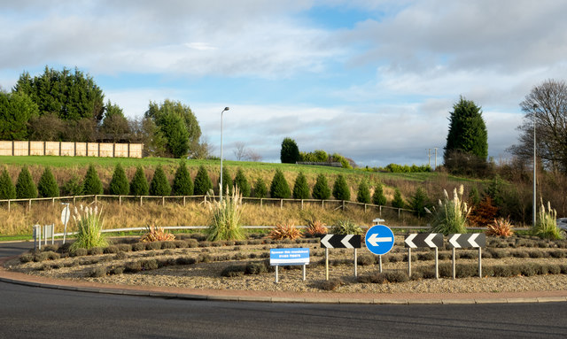
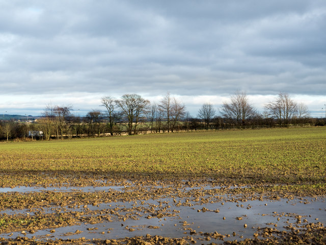
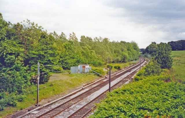
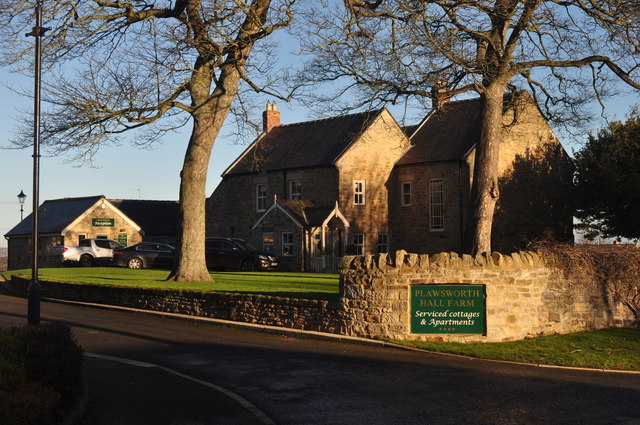
Blackdene Wood Images

Images are sourced within 2km of 54.82459/-1.5738143 or Grid Reference NZ2747. Thanks to Geograph Open Source API. All images are credited.

B6312 nears A167 roundabout
Mill Lane passing under the East Coast Main Line
Chester Low Road nears ECML bridge
Fields west of Beaney Lane Beaney Lane is a minor road on the west side of the A167, north of Nettlesworth.
Fields west of Beaney Lane
Beaney Lane is a minor road on the west side of the A167, north of Nettlesworth.
Roundabout on A167 near Nettlesworth The roundabout is on the dual carriageway of the A167 just east of Nettlesworth from where the B6312 comes to join it. The notice tells that the roundabout is available for sponsorship!
Roundabout on A167 near Nettlesworth
The roundabout is on the dual carriageway of the A167 just east of Nettlesworth from where the B6312 comes to join it. The notice tells that the roundabout is available for sponsorship!
Waterlogged field beside Beaney Lane Beaney Lane is a minor road north of Nettlesworth; this field on its eastern side, along with the land all around,  is saturated with water following many weeks of above average rainfall.
Waterlogged field beside Beaney Lane
Beaney Lane is a minor road north of Nettlesworth; this field on its eastern side, along with the land all around, is saturated with water following many weeks of above average rainfall.
Site of Plawsworth station, ECML 2002 View southward, towards Ferryhill, Darlington and the South on the ex-NER Darlington - Newcastle section of the ECML, electrified 1987. Plawsworth station was closed to passengers 7/4/52, to goods 30/9/63.
Site of Plawsworth station, ECML 2002
View southward, towards Ferryhill, Darlington and the South on the ex-NER Darlington - Newcastle section of the ECML, electrified 1987. Plawsworth station was closed to passengers 7/4/52, to goods 30/9/63.
Retail outlets at The Arnison Centre At Pity Me on the northern fringe of Durham.
Retail outlets at The Arnison Centre
At Pity Me on the northern fringe of Durham.
Plawsworth Hall
Plawsworth Hall
The Red Lion at Plawsworth The Red lion at Plawsworth stands beside the A167 which was once the A1, Great North Road.
Red Lion is one of the most common names for a pub; Wikipedia tells, (August 2017), that the British Beer and Pub Association records it as the most popular with 759 having that name, whilst CAMRA has it in second place with 668.
The Red Lion at Plawsworth
The Red lion at Plawsworth stands beside the A167 which was once the A1, Great North Road. Red Lion is one of the most common names for a pub; Wikipedia tells, (August 2017), that the British Beer and Pub Association records it as the most popular with 759 having that name, whilst CAMRA has it in second place with 668.
Stubble field adjacent to Beaney Lane The field is in the angle formed between Beaney Lane and the A167 south of Chester-le-Street.
Stubble field adjacent to Beaney Lane
The field is in the angle formed between Beaney Lane and the A167 south of Chester-le-Street.
Public footpath alongside fence The path is one of a number crossing land in the area north of Nettlesworth and close to Felledge Farm; the farm is on the other side of the right hand trees.
Public footpath alongside fence
The path is one of a number crossing land in the area north of Nettlesworth and close to Felledge Farm; the farm is on the other side of the right hand trees.
Roundabout on Waldridge Lane The roundabout is at a crossing of minor roads close to the A167 at Chester Moor as the blue and yellow road sign, typical of many in County Durham, indicates. Chester Moor is a small settlement close to Chester-le-Street.
Roundabout on Waldridge Lane
The roundabout is at a crossing of minor roads close to the A167 at Chester Moor as the blue and yellow road sign, typical of many in County Durham, indicates. Chester Moor is a small settlement close to Chester-le-Street.
Field edge with emerging crop A field on the west side of the minor road heading north from the Newton Hall area of Durham. There's a railway embankment at the far end of the field.
Field edge with emerging crop
A field on the west side of the minor road heading north from the Newton Hall area of Durham. There's a railway embankment at the far end of the field.
Cocken Road near Low Cocken Farm Cocken Road, heading west and sweeping in an arc to the south, as seen from beside Low Cocken Farm.
Cocken Road near Low Cocken Farm
Cocken Road, heading west and sweeping in an arc to the south, as seen from beside Low Cocken Farm.
Waterlogged field entrance beside Mill Lane A saturated piece of ground just inside the field; the pool in the foreground has a thin film of ice.
Waterlogged field entrance beside Mill Lane
A saturated piece of ground just inside the field; the pool in the foreground has a thin film of ice.
Country south of Chester-le-Street Looking over the Wear valley.
Country south of Chester-le-Street
Looking over the Wear valley.
Country near Cocken Bridge Looking over the Wear valley.
Country near Cocken Bridge
Looking over the Wear valley.
Show me another place!

Blackdene Wood is located at Grid Ref: NZ2747 (Lat: 54.82459, Lng: -1.5738143)

Unitary Authority: County Durham

Police Authority: Durham

What 3 Words

///vibrate.pacifist.sting. Near Sacriston, Co. Durham

Related Wikis

Plawsworth railway station

Plawsworth railway station served the village of Plawsworth, County Durham, England from 1868 to 1963 on the East Coast Main Line. == History == The station...

Plawsworth

Plawsworth is a village and former civil parish, now in the parish of Kimblesworth and Plawsworth, in the County Durham district, in the ceremonial county...

Chester-le-Street Town F.C.

Chester-le-Street Town Football Club is a football club based in Chester-le-Street, County Durham, England. They are currently members of the Northern...

Kimblesworth

Kimblesworth is a village and former civil parish, now in the parish of Kimblesworth and Plawsworth, in the County Durham district, in the ceremonial county...

Iveston

Iveston is a village in County Durham, England. It is situated a short distance to the east of Consett. Housing in the area consists of a mixture of traditional...
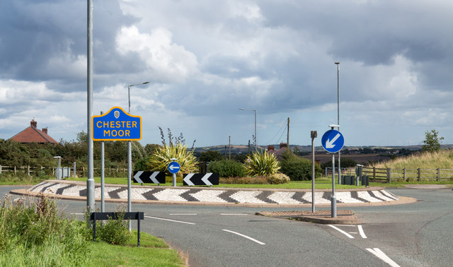
Chester Moor

Chester Moor is a village in County Durham, England. It is situated a short distance to the south of Chester-le-Street. == References ==

Tan Hills

Tan Hills is a village in County Durham, in England. It is situated close to Sacriston, Kimblesworth and Nettlesworth, between Durham and Chester-le-Street...

Nettlesworth

Nettlesworth is a small village in County Durham, in England. It is situated to the south of Chester-le-Street, near Sacriston. Nettlesworth is adjoined...

Nearby Amenities

Located within 500m of 54.82459,-1.5738143
Blackdene Farm
Addr City: Chester-le-Street
Addr Postcode: DH3 4EH
Place: farm
Source Name: OS OpenData StreetView
Source Postcode: CodePoint Open
Lat/Long: 54.8271452/-1.5720534
Railway: signal
Railway Signal Direction: backward
Railway Signal Main: GB-NR:main
Railway Signal Main Design: individual
Railway Signal Main Form: light
Railway Signal Main Height: normal
Railway Signal Main States: red;green
Railway Signal Operator: Network Rail
Railway Signal Position: left
Ref: T 287 R
Lat/Long: 54.8226725/-1.5799867
Railway: signal
Railway Signal Direction: forward
Railway Signal Main: GB-NR:main
Railway Signal Main Design: individual
Railway Signal Main Form: light
Railway Signal Main Height: normal
Railway Signal Main States: red;green;yellow;flashing_yellow;double_yellow;flashing_double_yellow
Railway Signal Operator: Network Rail
Railway Signal Position: left
Ref: T 285
Lat/Long: 54.8226576/-1.5800518
Power: pole
Lat/Long: 54.8288046/-1.5717611
Power: pole
Lat/Long: 54.8272696/-1.5719542
Power: pole
Lat/Long: 54.8251157/-1.5805762
Power: pole
Lat/Long: 54.8268346/-1.5776458
Power: pole
Lat/Long: 54.8275129/-1.576471
Power: pole
Lat/Long: 54.8278374/-1.5748671
Power: pole
Lat/Long: 54.828151/-1.5732524
Power: pole
Lat/Long: 54.8279378/-1.5718845
Power: pole
Lat/Long: 54.827652/-1.5700606
Power: pole
Lat/Long: 54.8274496/-1.5688401
Power: pole
Lat/Long: 54.827343/-1.5680838
The data included in this document is from www.openstreetmap.org. The data is made available under ODbL.

Have you been to Blackdene Wood?

Leave your review of Blackdene Wood below (or comments, questions and feedback).