Black Dene
Valley in Durham
England
Black Dene
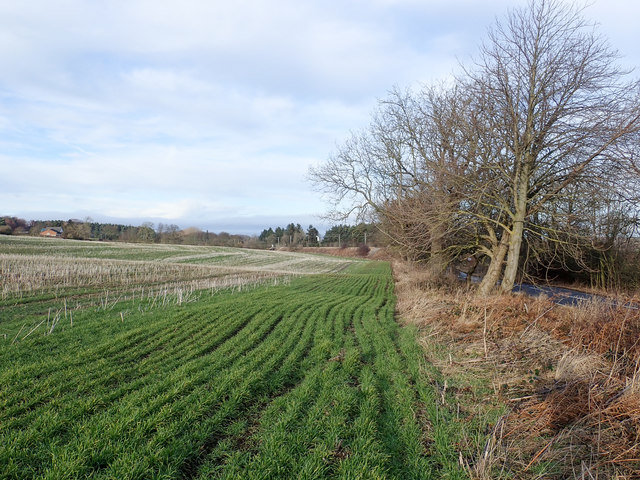
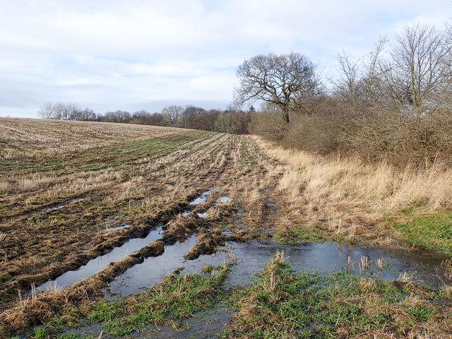
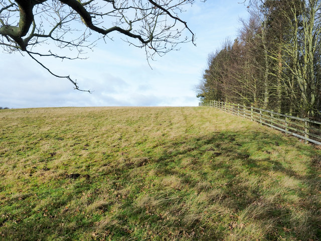
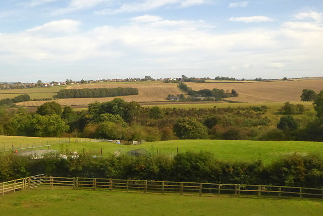
Black Dene, also known as Black Dene Valley, is a picturesque area located in Durham, England. Situated near the village of Blanchland, it is a popular spot for nature enthusiasts and hikers due to its stunning landscapes and diverse wildlife.
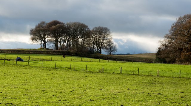
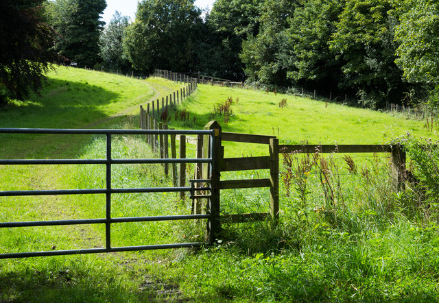
The valley is characterized by its deep, steep-sided gorge, which was carved out by the Blackhall Burn over centuries. The Burn flows through the valley, creating a series of cascades and waterfalls that add to the area's natural beauty. Towering trees and lush vegetation surround the valley, providing a habitat for various bird species, including dippers and kingfishers.
Black Dene is also known for its historical significance. The remains of an old lead mine can still be seen in the valley, serving as a reminder of the area's industrial past. The mine, which operated from the 18th to the 19th century, played a significant role in the local economy. Today, visitors can explore the remnants of the mine and learn about its history through informational plaques.
Hikers and nature lovers are drawn to Black Dene for its scenic walking trails. The valley offers a range of paths suitable for different skill levels, allowing visitors to enjoy the stunning surroundings at their own pace. As they explore the area, visitors may encounter various wildlife, such as red squirrels, rabbits, and even occasional deer.
Overall, Black Dene is a charming and historically significant area in Durham, offering visitors a chance to immerse themselves in nature while learning about the region's past.
If you have any feedback on the listing, please let us know in the comments section below.
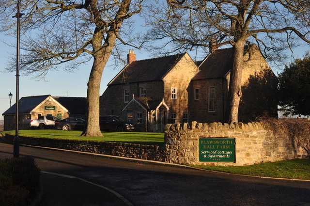
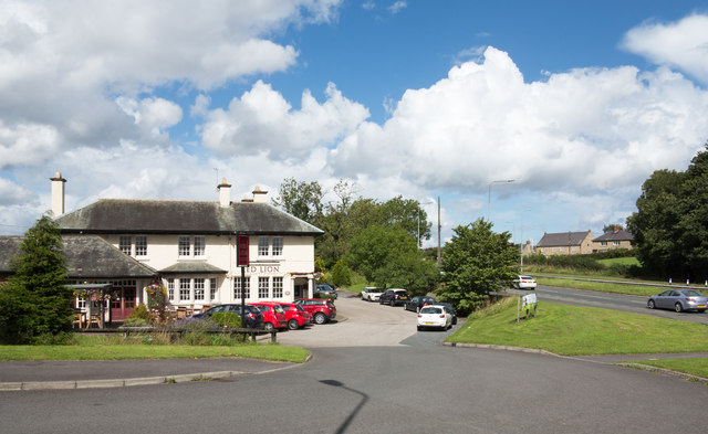
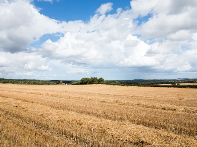
Black Dene Images
Images are sourced within 2km of 54.824163/-1.575095 or Grid Reference NZ2747. Thanks to Geograph Open Source API. All images are credited.

Black Dene is located at Grid Ref: NZ2747 (Lat: 54.824163, Lng: -1.575095)
Unitary Authority: County Durham
Police Authority: Durham
What 3 Words
///interacts.cornfield.hems. Near Sacriston, Co. Durham
Nearby Locations
Related Wikis
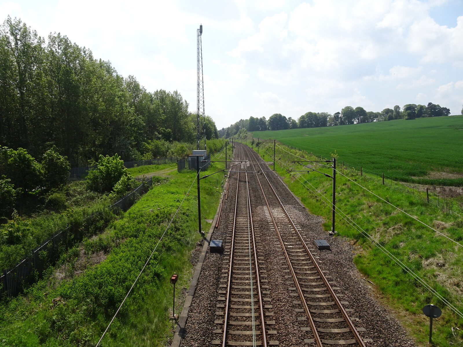
Plawsworth railway station
Plawsworth railway station served the village of Plawsworth, County Durham, England from 1868 to 1963 on the East Coast Main Line. == History == The station...

Plawsworth
Plawsworth is a village and former civil parish, now in the parish of Kimblesworth and Plawsworth, in the County Durham district, in the ceremonial county...

Chester-le-Street Town F.C.
Chester-le-Street Town Football Club is a football club based in Chester-le-Street, County Durham, England. They are currently members of the Northern...

Kimblesworth
Kimblesworth is a village and former civil parish, now in the parish of Kimblesworth and Plawsworth, in the County Durham district, in the ceremonial county...

Iveston
Iveston is a village in County Durham, England. It is situated a short distance to the east of Consett. Housing in the area consists of a mixture of traditional...
Tan Hills
Tan Hills is a village in County Durham, in England. It is situated close to Sacriston, Kimblesworth and Nettlesworth, between Durham and Chester-le-Street...
Nettlesworth
Nettlesworth is a small village in County Durham, in England. It is situated to the south of Chester-le-Street, near Sacriston. Nettlesworth is adjoined...

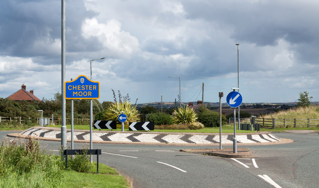
Chester Moor
Chester Moor is a village in County Durham, England. It is situated a short distance to the south of Chester-le-Street. == References ==
Nearby Amenities
Located within 500m of 54.824163,-1.575095Have you been to Black Dene?
Leave your review of Black Dene below (or comments, questions and feedback).