Low Entercommon

Settlement in Yorkshire Richmondshire

England

Low Entercommon

Minor road at Stone Riggs A mile long lane connecting two rather more used roads in East Cowton parish.
Minor road at Stone Riggs Credit: Gordon Hatton

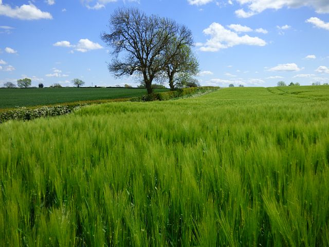
Low Entercommon is a small picturesque village located in the county of Yorkshire, England. Situated in the heart of the Yorkshire Dales National Park, it offers stunning panoramic views of the surrounding countryside and is renowned for its natural beauty.

With a population of around 200 residents, Low Entercommon possesses a close-knit community atmosphere. The village is characterized by its charming stone-built houses, many of which date back several centuries, giving it a quaint and historical feel.

The village is home to a few essential amenities, including a local pub, a village hall, and a small convenience store. The pub, known as "The Entercommon Arms," serves as a popular gathering spot for locals and visitors alike, offering a warm and friendly atmosphere.

Low Entercommon is ideally located for those looking to explore the great outdoors. The surrounding area boasts an extensive network of walking and cycling trails, allowing visitors to immerse themselves in the stunning natural landscapes. The village is also within close proximity to several notable attractions, including the picturesque village of Grassington and the impressive Bolton Abbey.

Throughout the year, Low Entercommon hosts a range of community events and festivals, which bring together residents and visitors from afar. These events showcase the village's rich cultural heritage, providing an opportunity to experience traditional music, arts, and crafts.

Overall, Low Entercommon is a hidden gem within the Yorkshire Dales, offering a tranquil escape from the hustle and bustle of modern life and providing a gateway to the breathtaking beauty of the surrounding countryside.

If you have any feedback on the listing, please let us know in the comments section below.

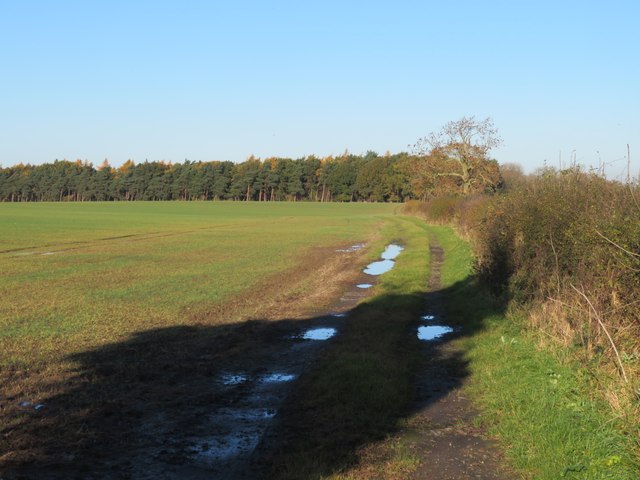
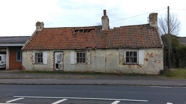
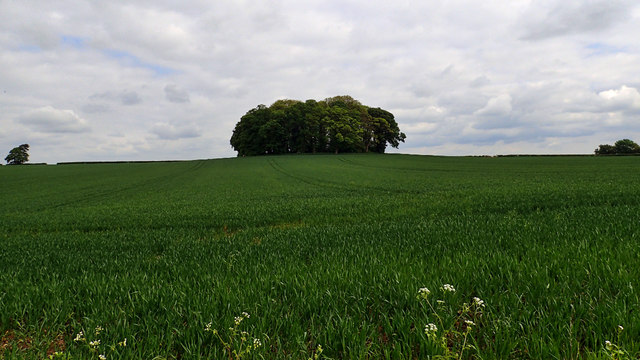
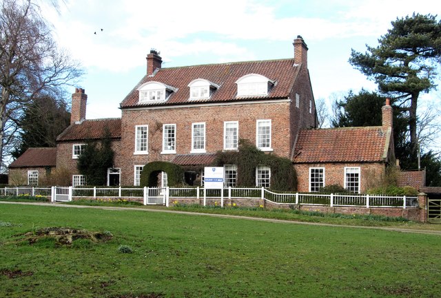
Low Entercommon Images

Images are sourced within 2km of 54.447996/-1.4830445 or Grid Reference NZ3305. Thanks to Geograph Open Source API. All images are credited.

Minor road at Stone Riggs A mile long lane connecting two rather more used roads in East Cowton parish.
Minor road at Stone Riggs
A mile long lane connecting two rather more used roads in East Cowton parish.
A section of the old road The current OS map gives some clues as to the old route of the A167, which at one time meandered its way along here, past Plantation House and onwards towards Dalton on Tees. My guess is that the route was improved in the 1950's, as were several other sections of main roads in the old North Riding in that decade.
A section of the old road
The current OS map gives some clues as to the old route of the A167, which at one time meandered its way along here, past Plantation House and onwards towards Dalton on Tees. My guess is that the route was improved in the 1950's, as were several other sections of main roads in the old North Riding in that decade.
A167 towards Dalton on Tees Taken from a point where an overgrown section of the former road joins the current route, which was probably upgraded in the 1950's. The current OS map indicates several sections of old road meanders along here, but most have now virtually disappeared except for the nest meander on the right, some 300m further on.
A167 towards Dalton on Tees
Taken from a point where an overgrown section of the former road joins the current route, which was probably upgraded in the 1950's. The current OS map indicates several sections of old road meanders along here, but most have now virtually disappeared except for the nest meander on the right, some 300m further on.
Approaching a junction on A167 Ahead and to the right, a vehicle waits to turn on to the A167 from the B1263, the turning being right on the grid line. The A167 between Croft on Tees and Northallerton is generally a pleasant road to drive as it carries relatively little traffic.
Approaching a junction on A167
Ahead and to the right, a vehicle waits to turn on to the A167 from the B1263, the turning being right on the grid line. The A167 between Croft on Tees and Northallerton is generally a pleasant road to drive as it carries relatively little traffic.
Road junction at Low Entercommon At this point a minor road meets the A167. The sign on the left indicates the boundary between Richmondshire and Hambleton, two of the local authorities which operated within North Yorkshire until 2023 when the whole county came under one administration. One assumes that such signs are now obsolete. Toll Bar Garage is just visible in the distance.
Road junction at Low Entercommon
At this point a minor road meets the A167. The sign on the left indicates the boundary between Richmondshire and Hambleton, two of the local authorities which operated within North Yorkshire until 2023 when the whole county came under one administration. One assumes that such signs are now obsolete. Toll Bar Garage is just visible in the distance.
Fieldside track at High Entercommon Farmer's track accessed via a locked gate. No right of way here.
Fieldside track at High Entercommon
Farmer's track accessed via a locked gate. No right of way here.
Old Toll House This wreck of a building, the back wall and most of the rear portion of the roof have fallen in, is the toll keepers house on the Boroughbridge and Durham Turnpike which was built some-time around 1745. It now stands forlorn next to the A167 which runs from Topcliffe in North Yorkshire to Cowgate in Tyne & Wear.
Old Toll House
This wreck of a building, the back wall and most of the rear portion of the roof have fallen in, is the toll keepers house on the Boroughbridge and Durham Turnpike which was built some-time around 1745. It now stands forlorn next to the A167 which runs from Topcliffe in North Yorkshire to Cowgate in Tyne & Wear.
Fields to the south of Smeaton Manor
Round Clump, Smeaton Manor
Ditch near Great Smeaton
East House, Gt Smeaton This mid 18th century house dominates the green in the middle of Great Smeaton. Only the 20th century porch spoils the overall look of the house.
East House, Gt Smeaton
This mid 18th century house dominates the green in the middle of Great Smeaton. Only the 20th century porch spoils the overall look of the house.
Church of St Eloy, Gt Smeaton This is said to be the only historic dedication to this saint in England, which is about the only notable thing about this church which is mostly of 1862, but with a few medieval items inside.
Church of St Eloy, Gt Smeaton
This is said to be the only historic dedication to this saint in England, which is about the only notable thing about this church which is mostly of 1862, but with a few medieval items inside.
Old Toll House by Northallerton Road, Great Smeaton Entercommon Toll House by the A167, in parish of Great Smeaton (Hambleton District), Toll Bar Cottage, Northallerton Road, by Toll Bar Garage, Murco petrol station, near junction with B1264, DL6 2EX.

Surveyed

Milestone Society National ID: YN.GSM01
Old Toll House by Northallerton Road, Great Smeaton
Entercommon Toll House by the A167, in parish of Great Smeaton (Hambleton District), Toll Bar Cottage, Northallerton Road, by Toll Bar Garage, Murco petrol station, near junction with B1264, DL6 2EX. Surveyed Milestone Society National ID: YN.GSM01
Old Milepost by the A167, Great Smeaton Milepost by the A167, in parish of Great Smeaton (Hambleton District), in village, 30m South East of Church of St Eloy, between Black Bull PH and Bay Horse PH, in front of No.1 Church View, South side of road.

Inscription reads:-
: DARLINGTON / 9 : : LONDON / 228 : : NO'ALLERTON / 7 :

Grade II listed.
List Entry Number: 1190565 <span class="nowrap"><a title="https://historicengland.org.uk/listing/the-list/list-entry/1190565" rel="nofollow ugc noopener" href="https://historicengland.org.uk/listing/the-list/list-entry/1190565">Link</a><img style="margin-left:2px;" alt="External link" title="External link - shift click to open in new window" src="https://s1.geograph.org.uk/img/external.png" width="10" height="10"/></span>

Milestone Society National ID: YN_NADL07
Old Milepost by the A167, Great Smeaton
Milepost by the A167, in parish of Great Smeaton (Hambleton District), in village, 30m South East of Church of St Eloy, between Black Bull PH and Bay Horse PH, in front of No.1 Church View, South side of road. Inscription reads:- : DARLINGTON / 9 : : LONDON / 228 : : NO'ALLERTON / 7 : Grade II listed. List Entry Number: 1190565 LinkExternal link Milestone Society National ID: YN_NADL07
Farmland, Eryholme Barley beside the bridleway at Carlingholme.
Farmland, Eryholme
Barley beside the bridleway at Carlingholme.
Track and farmland, Eryholme The bridleway between Westfields and Carlingholme.
Track and farmland, Eryholme
The bridleway between Westfields and Carlingholme.
Farmland, East Cowton Windswept barley to the north of the B1263.
Farmland, East Cowton
Windswept barley to the north of the B1263.
St Eloy's Church in Great Smeaton
Show me another place!

Low Entercommon is located at Grid Ref: NZ3305 (Lat: 54.447996, Lng: -1.4830445)

Division: North Riding

Administrative County: North Yorkshire

District: Richmondshire

Police Authority: North Yorkshire

What 3 Words

///double.stuffy.ordeals. Near Hurworth, Co. Durham

Related Wikis

Sockburn Hall

Sockburn Hall is a privately owned 19th-century country house at Sockburn, near Darlington, County Durham, England. It is a Grade II* listed building....

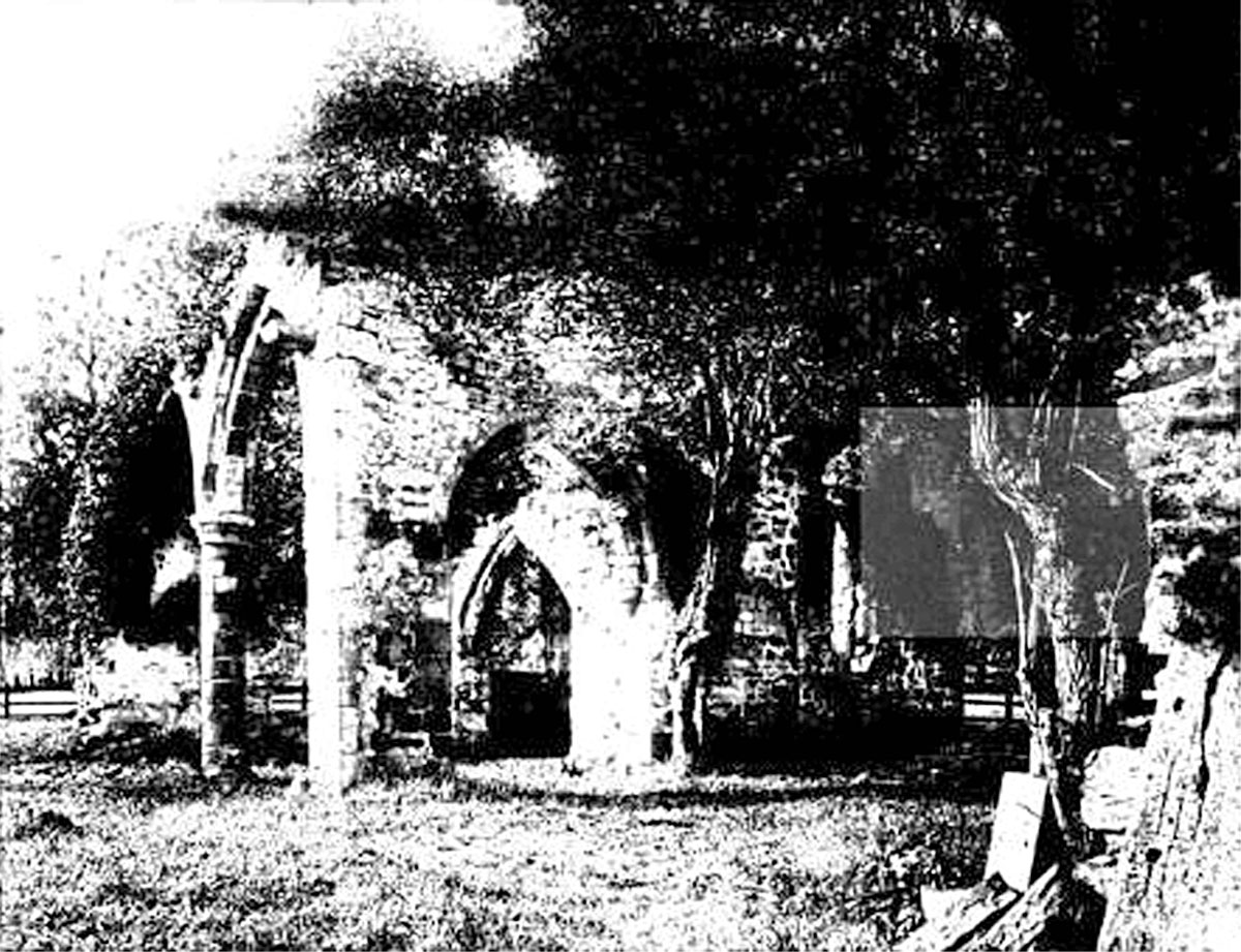
All Saints Church, Sockburn

All Saints Church is a ruined Church of England parish church in Sockburn, County Durham, England. A Grade I listed building, the church has pre- and post...

Great Smeaton

Great Smeaton is a village and civil parish in North Yorkshire, England. It lies on elevated ground near the River Wiske, which is a tributary of the River...

Sockburn

Sockburn is a village and former civil parish, now in the parish of Neasham, in the Darlington district, in the ceremonial county of Durham, England. It...

Nearby Amenities

Located within 500m of 54.447996,-1.4830445
Fixme: Line continues
Power: pole
Lat/Long: 54.444994/-1.485457
Power: pole
Lat/Long: 54.4462043/-1.4831919
Fixme: Line continues
Power: pole
Lat/Long: 54.4488774/-1.4781252
Power: pole
Lat/Long: 54.4482263/-1.4793402
Power: pole
Lat/Long: 54.4475798/-1.4805767
Power: pole
Transformer: distribution
Lat/Long: 54.4470121/-1.4816818
The data included in this document is from www.openstreetmap.org. The data is made available under ODbL.

Have you been to Low Entercommon?

Leave your review of Low Entercommon below (or comments, questions and feedback).