Low Crompton

Settlement in Lancashire

England

Low Crompton

Hanging Chadder View looking towards Hanging Chadder seen from Tindle Hill.
Hanging Chadder Credit: Peter McDermott

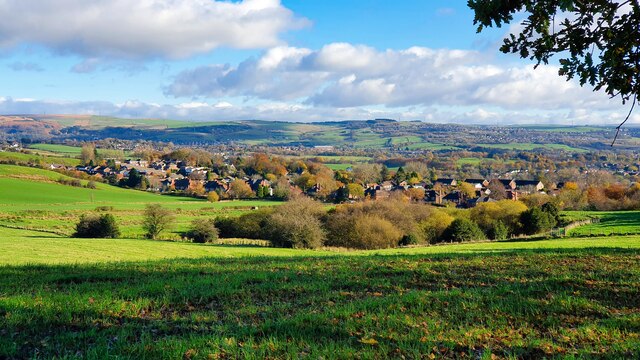
Low Crompton is a small village located in the Metropolitan Borough of Oldham, in the county of Lancashire, England. The village is situated on the edge of the Pennines, offering picturesque views of the surrounding countryside.

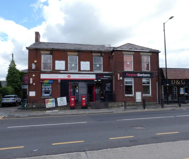
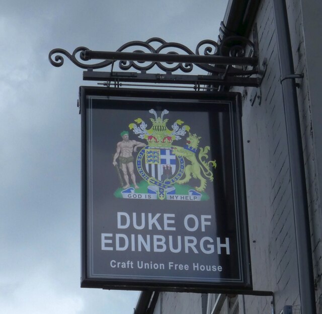
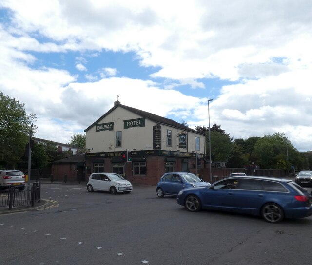
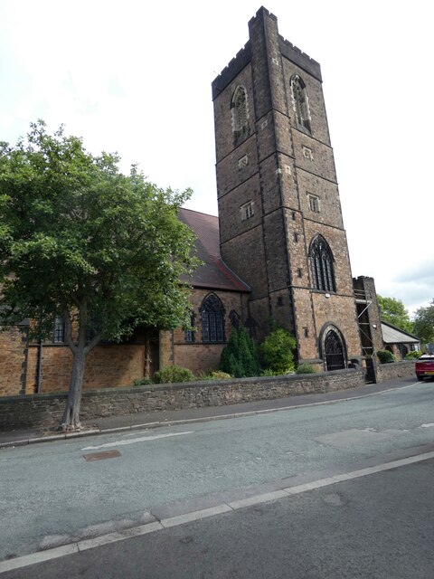
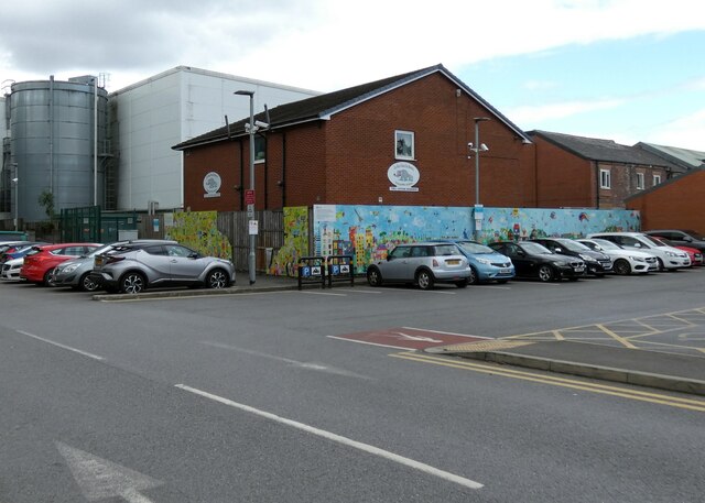
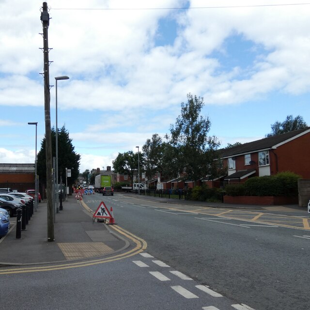
Low Crompton is a predominantly residential area, with a mix of traditional stone-built cottages and more modern housing developments. The village has a close-knit community, with a primary school, church, and a few local shops and pubs serving the residents.

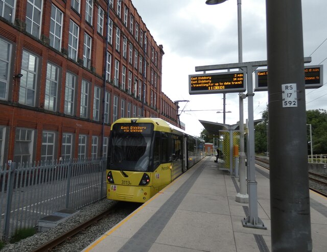
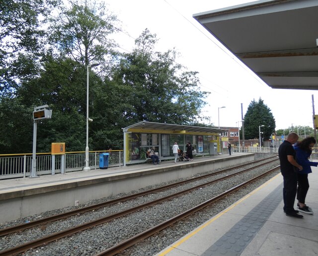
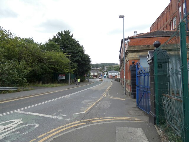
The village is well-connected to the surrounding areas, with good transport links to nearby towns such as Oldham and Rochdale. There are also several bus routes that pass through the village, providing easy access to other parts of Lancashire.

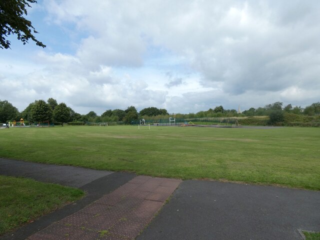
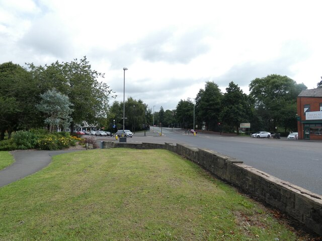
Low Crompton is surrounded by green spaces, making it an ideal location for those who enjoy the outdoors. The village is close to several walking and cycling routes, as well as parks and nature reserves.

Overall, Low Crompton is a charming village with a strong sense of community and a beautiful natural setting. It offers a peaceful and idyllic lifestyle for its residents.

If you have any feedback on the listing, please let us know in the comments section below.

Low Crompton Images

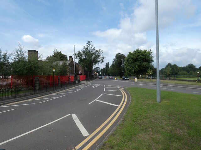
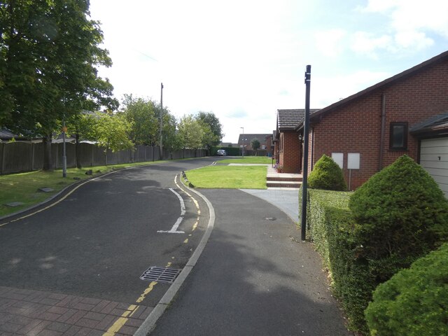
Images are sourced within 2km of 53.576865/-2.1172022 or Grid Reference SD9208. Thanks to Geograph Open Source API. All images are credited.

Hanging Chadder View looking towards Hanging Chadder seen from Tindle Hill.
Hanging Chadder
View looking towards Hanging Chadder seen from Tindle Hill.
Royton Post Office 
With Royton Barbers next door.
Royton Post Office
With Royton Barbers next door.
Rochdale Road, Royton 
The A671 through Royton. On the right is the former Royton Town Hall. Next to it is the Carnegie Library. Surprisingly neither building is listed. The Town Hall dates from 1880 and was the home of Royton Urban District Council from 1894 until 1974 when Oldham Metropolitan Borough Council took over. Both buildings are currently undergoing restoration work.
Rochdale Road, Royton
The A671 through Royton. On the right is the former Royton Town Hall. Next to it is the Carnegie Library. Surprisingly neither building is listed. The Town Hall dates from 1880 and was the home of Royton Urban District Council from 1894 until 1974 when Oldham Metropolitan Borough Council took over. Both buildings are currently undergoing restoration work.
Duke of Edinburgh A Craft Union Free House.

<a href="https://www.geograph.org.uk/photo/7220865">SD9107 : Sign of the Duke of Edinburgh</a>.
Duke of Edinburgh
A Craft Union Free House. SD9107 : Sign of the Duke of Edinburgh.
Sign of the Duke of Edinburgh Sign for the Duke of Edinburgh <a href="https://www.geograph.org.uk/photo/7220858">SD9107 : Duke of Edinburgh</a>.
Sign of the Duke of Edinburgh
Sign for the Duke of Edinburgh SD9107 : Duke of Edinburgh.
Railway Hotel, Royton A J W Lees pub on the corner of Oldham Road and High Barn Street. Originally it was called the Railway Hotel but as it presumably no longer lets room it is known simply as The Railway <a href="https://www.geograph.org.uk/photo/7221754">SD9207 : Sign of The Railway</a>.
Railway Hotel, Royton
A J W Lees pub on the corner of Oldham Road and High Barn Street. Originally it was called the Railway Hotel but as it presumably no longer lets room it is known simply as The Railway SD9207 : Sign of The Railway.
Sign of The Railway Sign for the J W Lees pub, originally the Railway Hotel <a href="https://www.geograph.org.uk/photo/7221750">SD9207 : Railway Hotel, Royton</a> but now known simply as The Railway.
Sign of The Railway
Sign for the J W Lees pub, originally the Railway Hotel SD9207 : Railway Hotel, Royton but now known simply as The Railway.
Oldham Road The A671 out of Royton.
Oldham Road
The A671 out of Royton.
Playing fields off Broadway
A663 Broadway 

The A663 towards Shaw crossing the A671 from Oldham to Rochdale.
A663 Broadway
The A663 towards Shaw crossing the A671 from Oldham to Rochdale.
A663 Broadway 
The A663 towards Chadderton from the slip road off  the A671.
A663 Broadway
The A663 towards Chadderton from the slip road off the A671.
St Anne's Royton 
The Grade II* listed <span class="nowrap"><a title="https://historicengland.org.uk/listing/the-list/list-entry/1356418?section=official-list-entry" rel="nofollow ugc noopener" href="https://historicengland.org.uk/listing/the-list/list-entry/1356418?section=official-list-entry">Link</a><img style="margin-left:2px;" alt="External link" title="External link - shift click to open in new window" src="https://s1.geograph.org.uk/img/external.png" width="10" height="10"/></span> dates from 1908-09 with tower added in 1926-27.
St Anne's Royton
The Grade II* listed LinkExternal link dates from 1908-09 with tower added in 1926-27.
Verity Close Off St Anne's Avenue.
Verity Close
Off St Anne's Avenue.
East Didsbury tram at Shaw and Crompton
Shaw and Crompton Tram Stop 
The Metrolink tram stop is on the converted railway line from Oldham Mumps. The old railway station was on the north side of Beal Lane level crossing. The new Metrolink station was created on the south side of the crossing. On the right is a siding for trams terminating here <a href="https://www.geograph.org.uk/photo/7262224">SD9408 : East Didsbury tram at Shaw and Crompton</a>.
Shaw and Crompton Tram Stop
The Metrolink tram stop is on the converted railway line from Oldham Mumps. The old railway station was on the north side of Beal Lane level crossing. The new Metrolink station was created on the south side of the crossing. On the right is a siding for trams terminating here SD9408 : East Didsbury tram at Shaw and Crompton.
Beal Lane
Beal Lane
Rises Private Day Nursery 
Founded in 2003. A  mural on the outside  is mostly obscured by parked cars, alas, and one section appears to have been damaged.
Rises Private Day Nursery
Founded in 2003. A mural on the outside is mostly obscured by parked cars, alas, and one section appears to have been damaged.
Roadworks on Beal Lane
Show me another place!

Low Crompton is located at Grid Ref: SD9208 (Lat: 53.576865, Lng: -2.1172022)

Unitary Authority: Oldham

Police Authority: Greater Manchester

What 3 Words

///final.crust.facing. Near Royton, Manchester

Nearby Locations

Low Crompton

Related Wikis

Crompton Urban District

Crompton Urban District was, from 1894 to 1974, a local government district in the administrative county of Lancashire, England. The area was coterminate...

High Crompton

High Crompton is a locality in the west of the Shaw and Crompton parish of the Metropolitan Borough of Oldham, in Greater Manchester, England. It is formed...

Crompton House Church of England Academy

Crompton House CE School is a coeducational Church of England secondary school and sixth form located in the High Crompton area of Shaw and Crompton in...
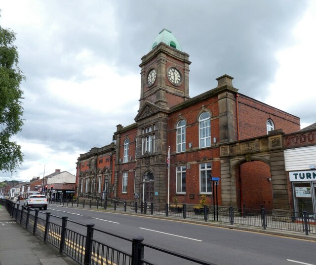
Royton Town Hall

Royton Town Hall is a municipal building in Rochdale Road, Royton, Greater Manchester, England. The town hall was the headquarters of Royton Urban District...

Nearby Amenities

Located within 500m of 53.576865,-2.1172022
Bus Stop
Thorp, Fir Lane / opposite Cedar Grove
Bus: yes
Naptan AtcoCode: 1800ED14061
Naptan Bearing: N
Naptan CommonName: Fir Lane/Cedar Grove
Naptan Indicator: Op Manor House
Naptan Landmark: HOUSE 75
Naptan NaptanCode: manapdag
Naptan PlusbusZoneRef: MNCRPIC
Naptan ShortCommonName: Cedar Grove
Naptan Street: FIR LANE
Naptan Verified: no
Network: TfGM
Operator: TfGM
Public Transport: platform
Source: naptan_import
Lat/Long: 53.5752194/-2.1241408
Bus Stop
Thorp, Fir Lane / near Windermere Road
Bus: yes
Naptan AtcoCode: 1800ED14071
Naptan Bearing: N
Naptan CommonName: Fir Lane/Windermere Road
Naptan Indicator: O/s House 149
Naptan Landmark: HOUSE 149
Naptan NaptanCode: manapdaj
Naptan PlusbusZoneRef: MNCRPIC
Naptan ShortCommonName: Windermere Road
Naptan Street: FIR LANE
Naptan Verified: no
Network: TfGM
Operator: TfGM
Public Transport: platform
Shelter: no
Source: naptan_import
Lat/Long: 53.5766586/-2.1231785
Bus Stop
Thorp, Fir Lane / opposite Windermere Road
Bus: yes
Naptan AtcoCode: 1800ED14081
Naptan Bearing: S
Naptan CommonName: Fir Lane/Windermere Road
Naptan Indicator: Field
Naptan Landmark: HOUSE 175
Naptan NaptanCode: manapdam
Naptan PlusbusZoneRef: MNCRPIC
Naptan ShortCommonName: Windermere Road
Naptan Street: FIR LANE
Naptan Verified: no
Network: TfGM
Operator: TfGM
Public Transport: platform
Shelter: yes
Source: naptan_import
Lat/Long: 53.5769276/-2.1227956
Bus Stop
Thorp, Fir Lane / outside Methodist Church
Bus: yes
Naptan AtcoCode: 1800ED14091
Naptan Bearing: S
Naptan CommonName: Fir Lane/Methodist Church
Naptan Indicator: Narrowgate Farm
Naptan Landmark: HOUSE 209
Naptan NaptanCode: manapdap
Naptan PlusbusZoneRef: MNCRPIC
Naptan ShortCommonName: Methodist Church
Naptan Street: FIR LANE
Naptan Verified: no
Network: TfGM
Operator: TfGM
Public Transport: platform
Source: naptan_import
Lat/Long: 53.5788702/-2.1227469
Turning Circle
Lat/Long: 53.5792681/-2.1118619
Turning Circle
Lat/Long: 53.5797196/-2.11137
Source of the River Irk
Natural: spring
Lat/Long: 53.5745528/-2.1131767
Power: tower
Lat/Long: 53.5762333/-2.1241839
Power: tower
Lat/Long: 53.5762285/-2.1145843
Power: tower
Lat/Long: 53.5747601/-2.1111028
Barrier: stile
Bicycle: no
Foot: yes
Material: wood
Wheelchair: no
Lat/Long: 53.5762829/-2.1171963
Barrier: kissing_gate
Bicycle: no
Foot: yes
Wheelchair: no
Lat/Long: 53.5789273/-2.1122029
Low Crompton
Place: hamlet
Lat/Long: 53.5767753/-2.1161309
Barrier: stile
Bicycle: no
Foot: yes
Material: wood
Wheelchair: no
Lat/Long: 53.5775387/-2.1142373
Barrier: stile
Bicycle: no
Foot: yes
Material: wood
Stile: ladder
Wheelchair: no
Lat/Long: 53.5762398/-2.1162704
Barrier: stile
Bicycle: no
Foot: yes
Material: wood
Wheelchair: no
Lat/Long: 53.5738528/-2.1192781
Generator Method: photovoltaic
Generator Output Electricity: yes
Generator Source: solar
Generator Type: solar_photovoltaic_panel
Location: roof
Power: generator
Lat/Long: 53.5775727/-2.1113814
The data included in this document is from www.openstreetmap.org. The data is made available under ODbL.

Have you been to Low Crompton?

Leave your review of Low Crompton below (or comments, questions and feedback).