Low Common

Settlement in Norfolk South Norfolk

England

Low Common

Norwich High School war memorial at Langley School
Norwich High School war memorial at Langley School Credit: Helen Steed

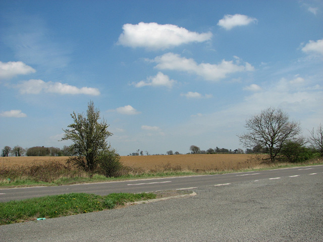
Low Common is a small village located in the county of Norfolk, England. Situated approximately 15 miles southwest of Norwich, it falls within the district of South Norfolk. The village is part of the civil parish of Ashwellthorpe and Fundenhall, and is surrounded by picturesque countryside.

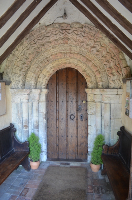
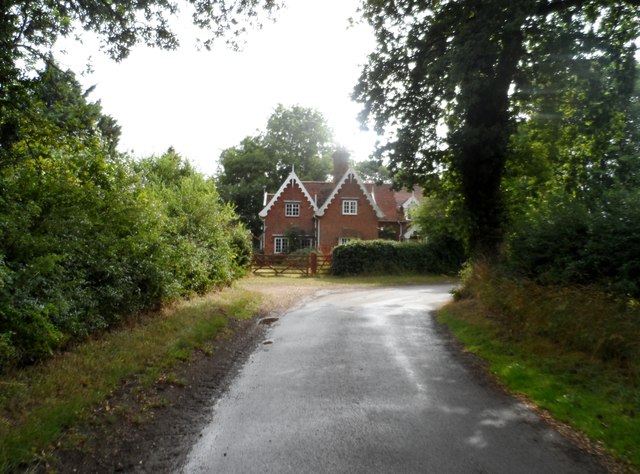
Low Common is a quiet and peaceful village with a close-knit community. It is characterized by its charming cottages and traditional architecture, which add to its rural charm. The village is predominantly residential, with a small number of local businesses and amenities catering to the needs of the residents.

The community in Low Common is active and engaged, organizing various events and activities throughout the year. The village hall serves as a hub for these gatherings, hosting social events, clubs, and meetings. It also offers a space for the community to come together for special occasions and celebrations.

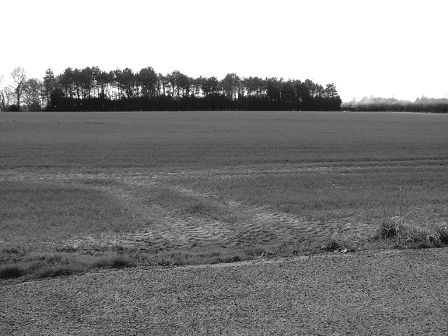
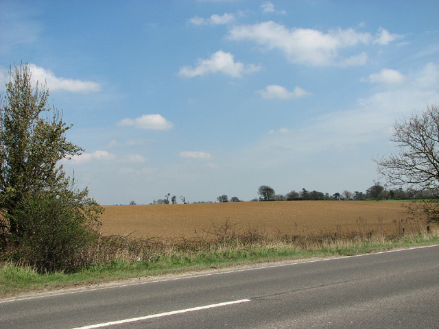
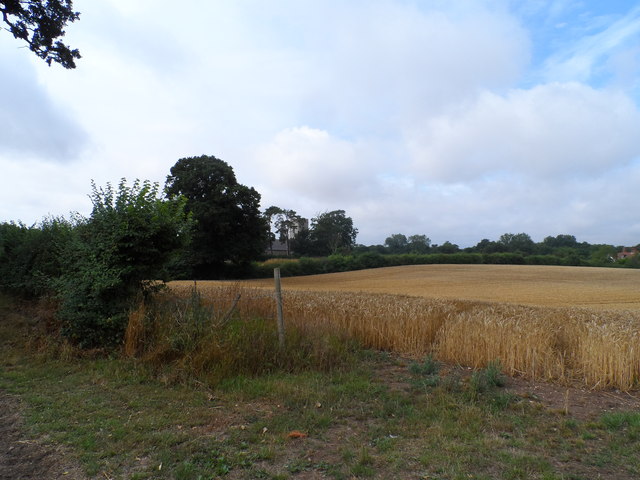
The natural beauty of the surrounding area is one of the highlights of Low Common. The village is surrounded by lush green fields, rolling hills, and woods, making it a popular destination for nature lovers and outdoor enthusiasts. There are several walking and cycling trails in the vicinity, allowing visitors to explore the stunning Norfolk countryside.

In conclusion, Low Common is a quintessential English village, offering a tranquil and idyllic setting for its residents. With its community spirit and beautiful surroundings, it provides a peaceful retreat from the hustle and bustle of urban life.

If you have any feedback on the listing, please let us know in the comments section below.
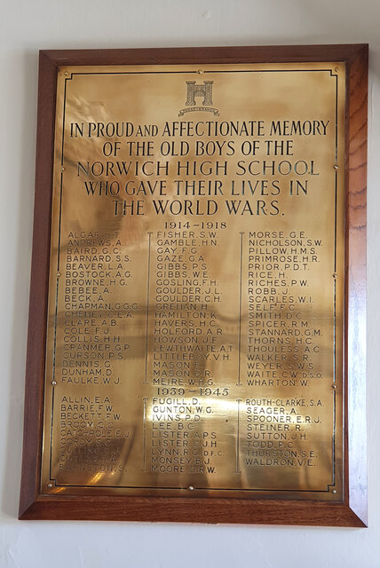
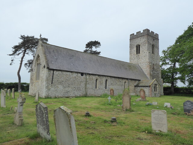
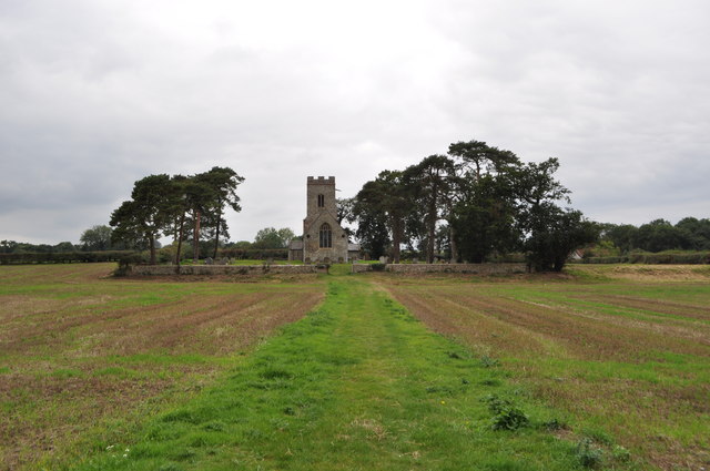
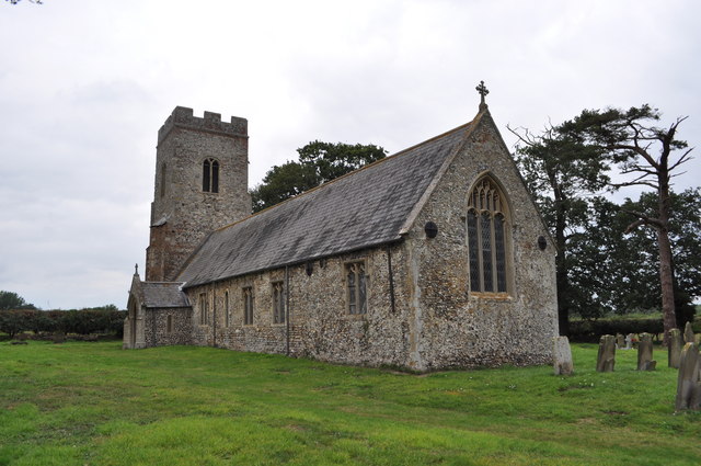
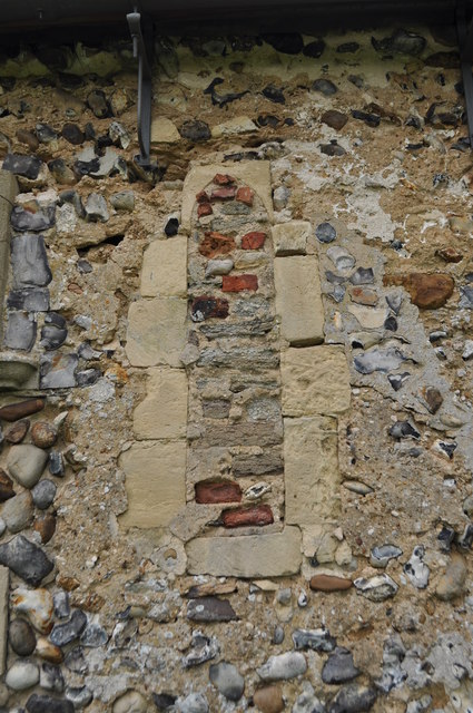
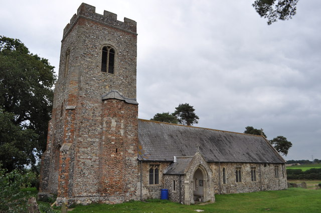
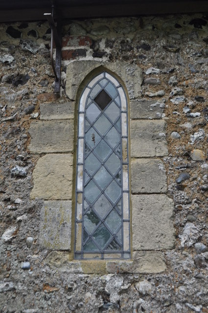
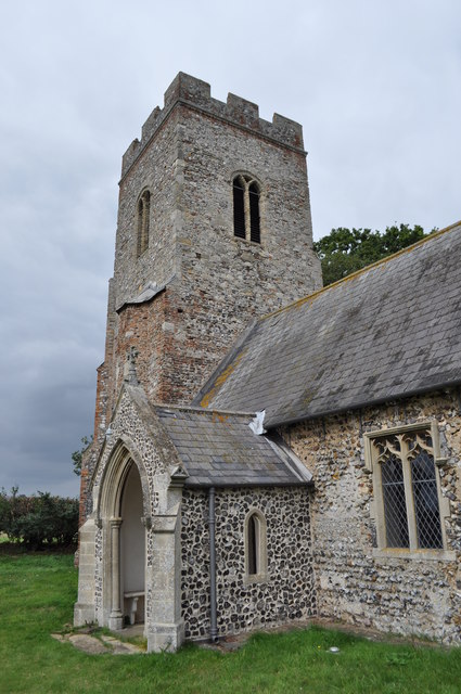
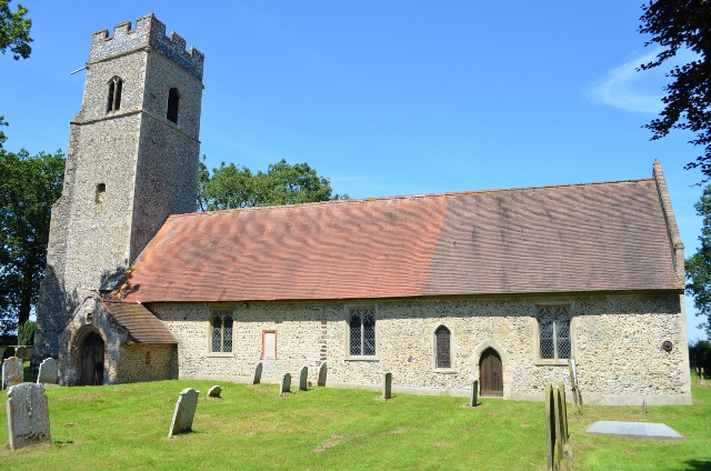
Low Common Images

Images are sourced within 2km of 52.561408/1.4435903 or Grid Reference TG3301. Thanks to Geograph Open Source API. All images are credited.

Norwich High School war memorial at Langley School
Carleton St Peter, St Peter
The path to St Peter's church See <a href="https://www.geograph.org.uk/photo/1331932">TG3402 : The path to St Peter's church</a>
The path to St Peter's church
St Peter's church This church is mentioned in the 1086 Domesday book. The body is Norman in origin with two slit windows (north and south). The tower was extended in height in the 1600s. Now isolated in a field and kept open.
St Peter's church
This church is mentioned in the 1086 Domesday book. The body is Norman in origin with two slit windows (north and south). The tower was extended in height in the 1600s. Now isolated in a field and kept open.
St Peter's church - Norman Window A blocked up window on the southern side of the building. 
This church is mentioned in the 1086 Domesday book. The body is Norman in origin with two slit windows (north and south). The tower was extended in height in the 1600s. Now isolated in a field and kept open.

<a href="https://www.geograph.org.uk/photo/2585077">TG3302 : St Peter's church</a>
St Peter's church - Norman Window
A blocked up window on the southern side of the building. This church is mentioned in the 1086 Domesday book. The body is Norman in origin with two slit windows (north and south). The tower was extended in height in the 1600s. Now isolated in a field and kept open. TG3302 : St Peter's church
St Peter's church - Norman Window
St Peter's church See <a href="https://www.geograph.org.uk/photo/148315">TG3302 : Carleton St. Peter</a> also
St Peter's church
Norman Doorway - Ashby St Mary The church was possibly the site of a Roman station, later a Saxon church then a Norman. The Norman nave can be seen with this magnificent doorway carved from French limestone. The porch is Tudor in age.
Norman Doorway - Ashby St Mary
The church was possibly the site of a Roman station, later a Saxon church then a Norman. The Norman nave can be seen with this magnificent doorway carved from French limestone. The porch is Tudor in age.
Strip woodland south of the A146 road
Layby on the A146 road
Fields north of the A146 road
Shrubs beside the A146 road
View across the A146 road
Cornfield and with St Peter's church hiding, Carleton See <span class="nowrap"><a title="http://www.norfolkchurches.co.uk/carletonstpeter/carletonstpeter.htm" rel="nofollow ugc noopener" href="http://www.norfolkchurches.co.uk/carletonstpeter/carletonstpeter.htm">Link</a><img style="margin-left:2px;" alt="External link" title="External link - shift click to open in new window" src="https://s1.geograph.org.uk/img/external.png" width="10" height="10"/></span>
Cornfield and with St Peter's church hiding, Carleton
See LinkExternal link
St Peter's church, Carleton See <span class="nowrap"><a title="http://www.norfolkchurches.co.uk/carletonstpeter/carletonstpeter.htm" rel="nofollow ugc noopener" href="http://www.norfolkchurches.co.uk/carletonstpeter/carletonstpeter.htm">Link</a><img style="margin-left:2px;" alt="External link" title="External link - shift click to open in new window" src="https://s1.geograph.org.uk/img/external.png" width="10" height="10"/></span>
St Peter's church, Carleton
See LinkExternal link
House on the corner of Stone Lane
Show me another place!

Low Common is located at Grid Ref: TG3301 (Lat: 52.561408, Lng: 1.4435903)

Administrative County: Norfolk

District: South Norfolk

Police Authority: Norfolk

What 3 Words

///mincing.figure.massaged. Near Loddon, Norfolk

Nearby Locations

Low Common

Related Wikis

Carleton St Peter

Carleton St Peter is a hamlet and civil parish in South Norfolk approximately 8+1⁄2 miles (13.7 km) south-east of Norwich. There is no village centre but...

Thurton

Thurton is a village in South Norfolk lying 8½ miles (13½ km) south-east of Norwich on the A146 Norwich to Lowestoft road between Framingham Pigot and...

Ashby St Mary

Ashby St Mary, historically Ascebei, is a small village and civil parish in the English county of Norfolk. The civil parish has an area of 2.03 square...

Ducan's Marsh

Ducan's Marsh is a 3.6-hectare (8.9-acre) biological Site of Special Scientific Interest north-east of Loddon in Norfolk. It is part of the Broadland Ramsar...

Related Videos

Watch very excited customer when we reveal their Motorhome

Much loved and cherished motorhome get a full make over from bumper to bumper...Watch customers response will definetly put ...

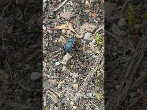
A Black Snail Beetle (Phosphuga atrata) scurrying across the path

The Black Snail Beetle (Phosphuga (formerly Silpha) atrata) has a narrow head so that it will fit into snail shells to eat them out.

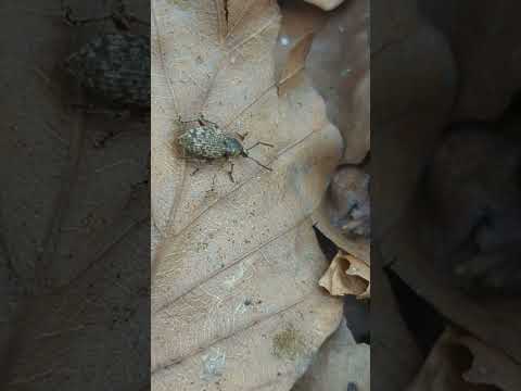
A Clay-coloured Weevil (probably) walking ponderously over a leaf

The Clay-coloured Weevil (Otiorhynchus singularis) is difficult to identify from similar species without microscopic investigation.

A Comma butterfly, 7-spot Ladybird, Dock Bug and Greenbottle feeding on blackberries

A Comma (Polygonia c-album), Seven Spot Ladybird (Coccinella septempunctata), Dock Bug (Coreus marginatus) and ...

Have you been to Low Common?

Leave your review of Low Common below (or comments, questions and feedback).