Low Buston

Settlement in Northumberland

England

Low Buston

Sewage treatment works, Shilbottle
Sewage treatment works, Shilbottle Credit: Richard Webb

Low Buston is a small village located in the county of Northumberland, England. Situated approximately 2 miles northwest of the market town of Alnwick, Low Buston is nestled amidst picturesque countryside and enjoys a tranquil setting. It falls within the civil parish of Lesbury and is part of the Borough of Alnwick.

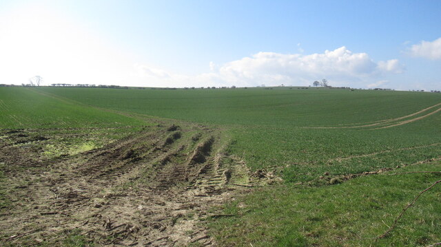
The village is characterized by its charming collection of traditional stone-built houses, giving it a quintessential English village feel. The surrounding landscape is predominantly agricultural, with lush green fields and rolling hills creating a stunning backdrop.

Despite its small size, Low Buston benefits from several amenities and services. The village boasts a local pub, offering a cozy atmosphere and serving traditional pub food. Additionally, there is a village hall that hosts community events and gatherings, providing a hub for local residents to come together.

Nature enthusiasts will find plenty to explore in the area surrounding Low Buston. The village is located near the Northumberland Coast Area of Outstanding Natural Beauty, renowned for its breathtaking coastline and diverse wildlife. The nearby Alnwick Castle and Alnwick Garden are popular tourist attractions, offering visitors a glimpse into the region's rich history and stunning gardens.

With its idyllic setting and close proximity to larger towns and attractions, Low Buston provides residents and visitors alike with a peaceful retreat in the heart of Northumberland's beautiful countryside.

If you have any feedback on the listing, please let us know in the comments section below.
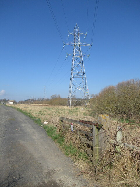
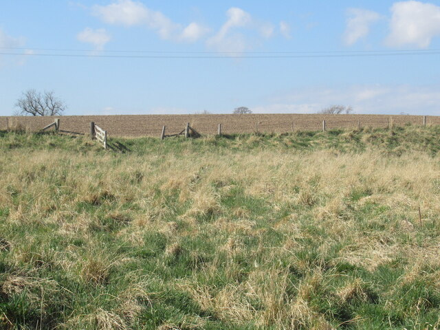
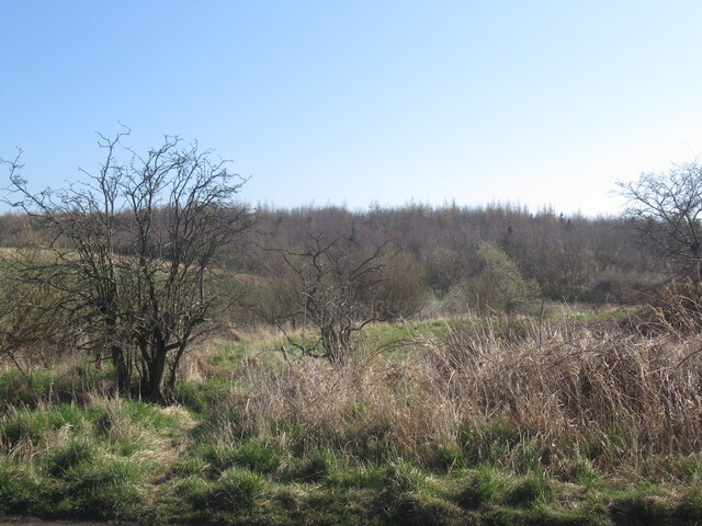
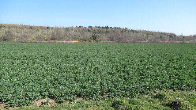
Low Buston Images

Images are sourced within 2km of 55.361304/-1.6473054 or Grid Reference NU2207. Thanks to Geograph Open Source API. All images are credited.

Sewage treatment works, Shilbottle
Farmland near Shilbottle
Woodland near Shilbottle A young plantation.
Woodland near Shilbottle
A young plantation.
Oilseed rape near Low Buston
Field, Sturton Grange An arable field during a dry spell.
Field, Sturton Grange
An arable field during a dry spell.
Woodland beside the Grange Burn
Crop field near Warkworth Oilseed rape after the yellow flowers, nearly ready for harvest.
Crop field near Warkworth
Oilseed rape after the yellow flowers, nearly ready for harvest.
Parking for the open day at Shortridge Hall A strip of crop had been removed to make way for parking. Fortunately for drivers the ground was very dry.
Parking for the open day at Shortridge Hall
A strip of crop had been removed to make way for parking. Fortunately for drivers the ground was very dry.
Former pill box near Shortridge Hall Apparently it was feared in the Second World War that enemy troops might land on Northumberland's beaches and push inland. This 'beehive' pillbox is located adjacent to a country road about 1km from the sea. Google Streetview shows that until very recently it was covered in vegetation and therefore not visible unless you were looking for it. The new owners of Shortridge Hall have opened it up and added a 'silent soldier' figure on the new fence alongside the road.
Former pill box near Shortridge Hall
Apparently it was feared in the Second World War that enemy troops might land on Northumberland's beaches and push inland. This 'beehive' pillbox is located adjacent to a country road about 1km from the sea. Google Streetview shows that until very recently it was covered in vegetation and therefore not visible unless you were looking for it. The new owners of Shortridge Hall have opened it up and added a 'silent soldier' figure on the new fence alongside the road.
Inside a former pill box near Shortridge Hall See <a href="https://www.geograph.org.uk/photo/7238604">NU2407 : Former pill box near Shortridge Hall</a> for the outside.
Inside a former pill box near Shortridge Hall
New yew hedge Shortridge Hall When mature, these yew trees will form a substantial hedge along a curved line across the garden.
New yew hedge Shortridge Hall
When mature, these yew trees will form a substantial hedge along a curved line across the garden.
Wildflower garden at Shortridge Hall This garden has been completely reimagined in the last few years under new owners, so the flowers are clearly sown to make a wildflower area, rather than being a natural meadow.
Wildflower garden at Shortridge Hall
This garden has been completely reimagined in the last few years under new owners, so the flowers are clearly sown to make a wildflower area, rather than being a natural meadow.
Shelter at Shortridge Hall A wooden framed shelter with copper roof.
Shelter at Shortridge Hall
A wooden framed shelter with copper roof.
North side of Shortridge Hall The hall dates from 1898 - see shared description.
North side of Shortridge Hall
The hall dates from 1898 - see shared description.
Stag sculpture at Shortridge Hall One of several metal sculptures of animal figures around the garden.
Stag sculpture at Shortridge Hall
One of several metal sculptures of animal figures around the garden.
Swan pond at Shortridge Hall One of several metal sculptures of animal figures around the garden including this pair of swans. The exact location is approximate as this pond is part of a recent redevelopment of the garden under new owners, so it does not appear on even the largest scale maps yet.
Swan pond at Shortridge Hall
One of several metal sculptures of animal figures around the garden including this pair of swans. The exact location is approximate as this pond is part of a recent redevelopment of the garden under new owners, so it does not appear on even the largest scale maps yet.
Deer family at Shortridge Hall Among several metal sculptures of animal figures around the garden. The exact location is approximate.
Deer family at Shortridge Hall
Among several metal sculptures of animal figures around the garden. The exact location is approximate.
Mercury sculpture at Shortridge Hall Among several metal sculptures of animal figures around the garden, although this looks like an antique rather than newly cast like the others. The exact location is approximate.
Mercury sculpture at Shortridge Hall
Among several metal sculptures of animal figures around the garden, although this looks like an antique rather than newly cast like the others. The exact location is approximate.
Show me another place!

Low Buston is located at Grid Ref: NU2207 (Lat: 55.361304, Lng: -1.6473054)

Unitary Authority: Northumberland

Police Authority: Northumbria

What 3 Words

///eggplants.sprouts.rich. Near Warkworth, Northumberland

Nearby Locations

Low Buston

Related Wikis

Warkworth railway station

Warkworth railway station served the village of Warkworth, Northumberland, England, from 1847 to 1962 on the East Coast Main Line. == History == The station...

High Buston

High Buston is a small hamlet and former civil parish, now in the parish of Alnmouth, in Northumberland, England, on Northumberland coast situated between...
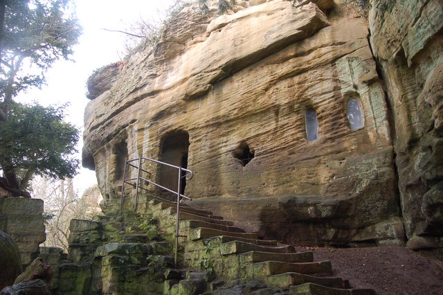
Warkworth Hermitage

Warkworth Hermitage is a chapel and priest's house built onto and within a cliff-face on the north bank of the River Coquet in Northumberland, England...

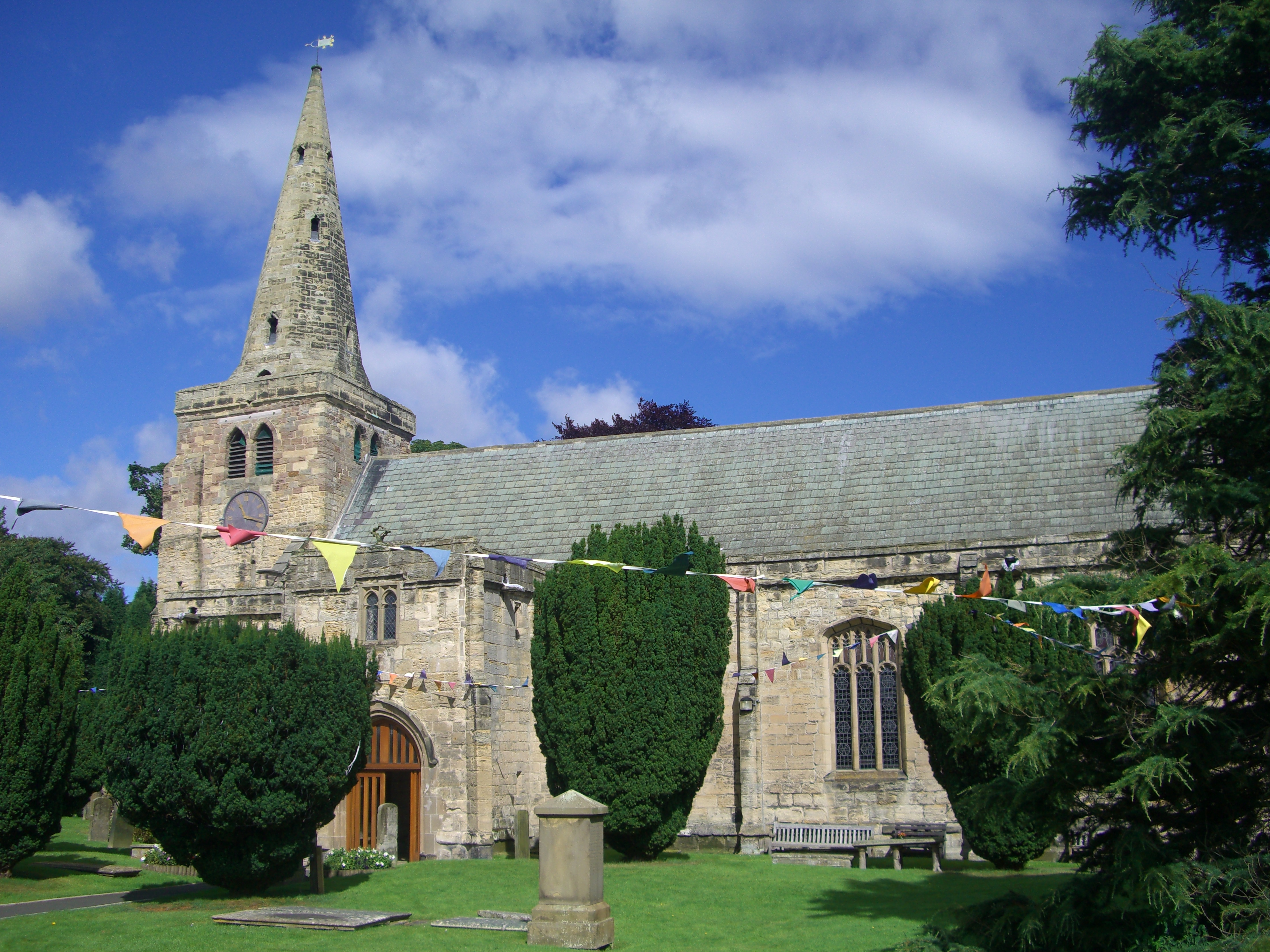
Church of St Lawrence, Warkworth

The Church of St Lawrence is situated in the village of Warkworth in Northumberland. It is a grade I listed building within the Diocese of Newcastle and...

Nearby Amenities

Located within 500m of 55.361304,-1.6473054
Low Buston
Place: hamlet
Lat/Long: 55.3611568/-1.6472366
Low Buston Medieval Village
Historic: archaeological_site
Lat/Long: 55.3595085/-1.6441405
Fixme: continues
Lat/Long: 55.3590938/-1.6432661
Fixme: continues
Lat/Long: 55.357438/-1.6452536
Barrier: stile
Source: GPS survey
Lat/Long: 55.3575234/-1.6452321
Barrier: stile
Source: GPS survey
Lat/Long: 55.3576621/-1.6456533
Barrier: stile
Source: GPS survey
Lat/Long: 55.3586318/-1.6457538
Barrier: stile
Source: GPS survey
Lat/Long: 55.3587904/-1.6454655
Hiking: yes
Information: guidepost
Source: GPS survey
Tourism: information
Lat/Long: 55.3574609/-1.6451919
Bank
Buston Barns Potatoes
Lat/Long: 55.3609749/-1.6477438
The data included in this document is from www.openstreetmap.org. The data is made available under ODbL.

Have you been to Low Buston?

Leave your review of Low Buston below (or comments, questions and feedback).