Low Brunton

Settlement in Northumberland

England

Low Brunton

Stable Block north of Chesters A late 19th century stable block in a modified Baroque style <span class="nowrap"><a title="https://historicengland.org.uk/listing/the-list/list-entry/1370562" rel="nofollow ugc noopener" href="https://historicengland.org.uk/listing/the-list/list-entry/1370562">Link</a><img style="margin-left:2px;" alt="External link" title="External link - shift click to open in new window" src="https://s1.geograph.org.uk/img/external.png" width="10" height="10"/></span>
Stable Block north of Chesters Credit: Sandy Gerrard

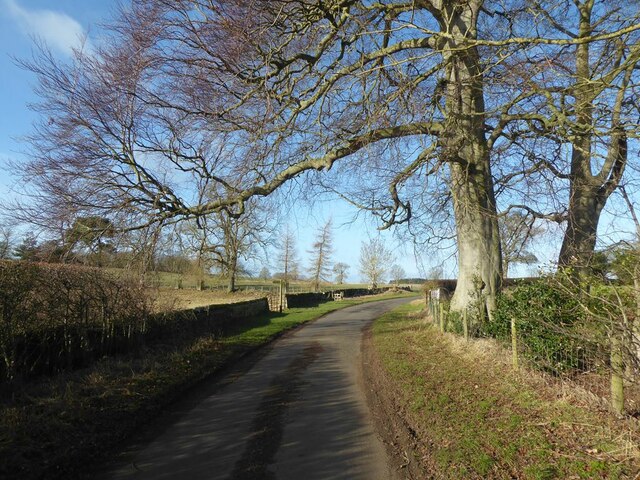
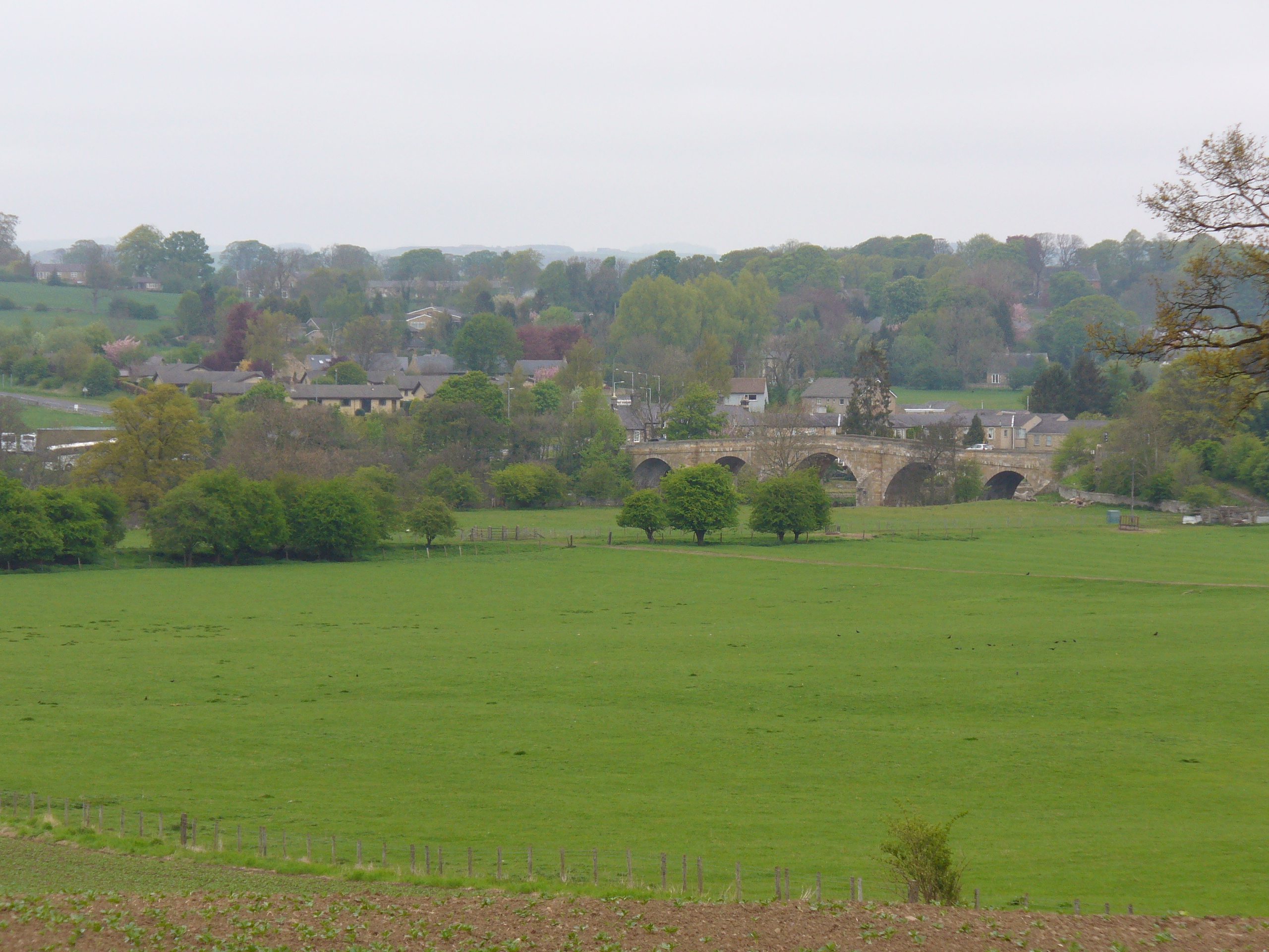
Low Brunton is a small rural village located in the county of Northumberland, England. Situated within the Tyne Valley, it is nestled amidst picturesque countryside, offering stunning views of the surrounding hills and meandering rivers. The village is part of the larger parish of Simonburn, and is situated approximately 10 miles northwest of the market town of Hexham.

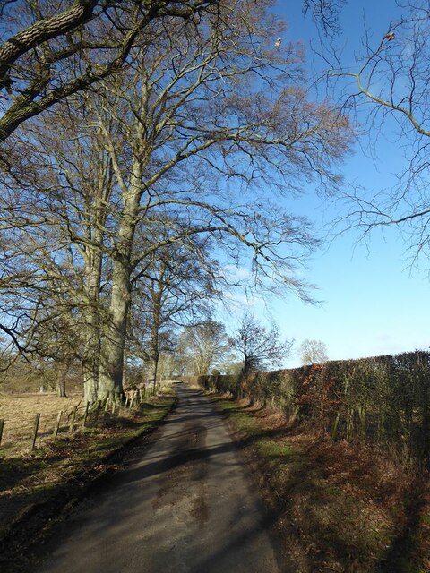
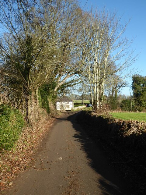
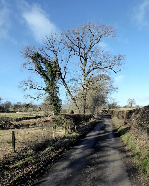
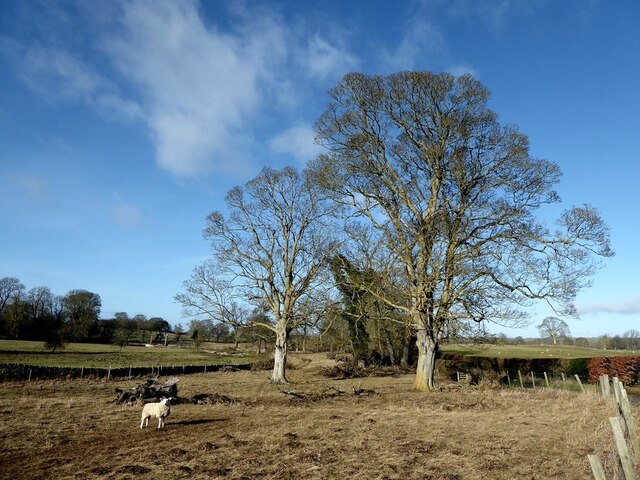
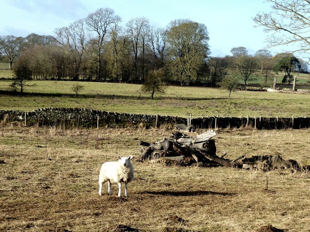
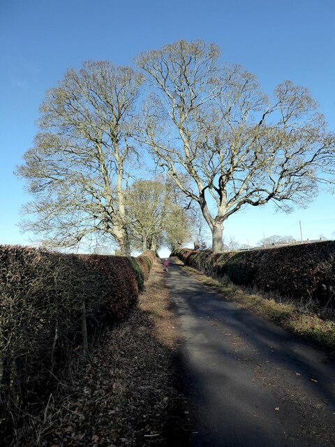
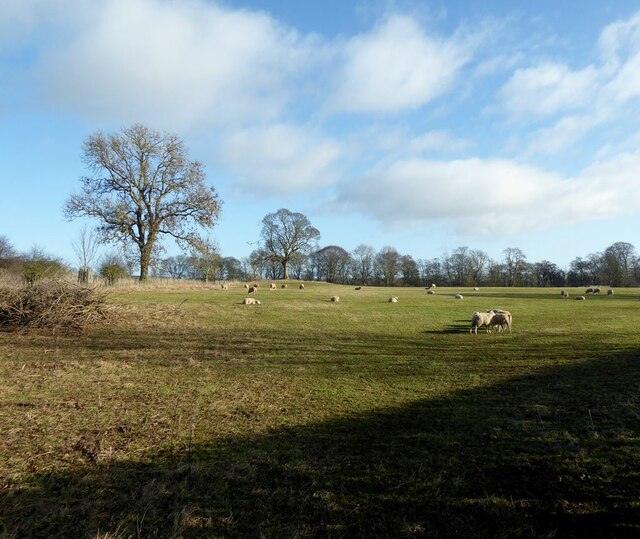
The village is renowned for its tranquility and natural beauty, making it an ideal destination for those seeking a peaceful retreat away from the hustle and bustle of city life. The area is predominantly agricultural, with lush green fields and grazing livestock dotting the landscape.

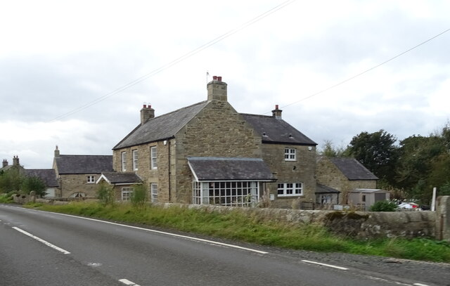
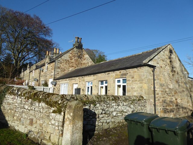
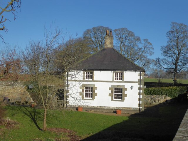
Low Brunton itself is a close-knit community, with a small population that primarily consists of local families and retirees. The village is characterized by charming stone-built cottages and traditional architecture, adding to its quaint and idyllic charm.

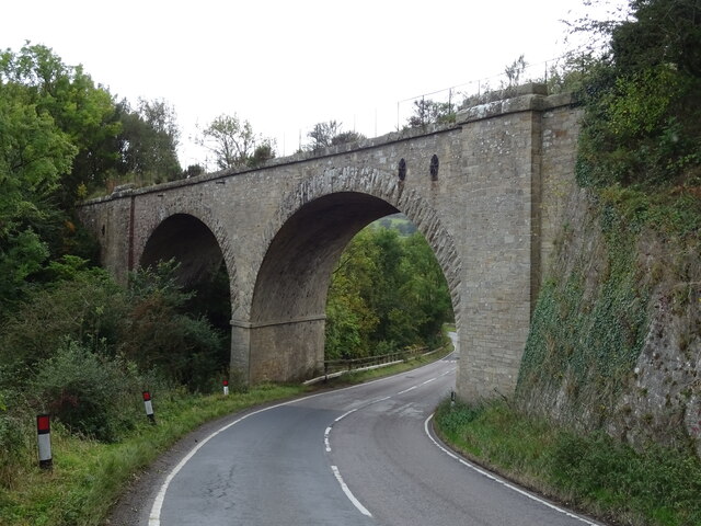
Although it is a relatively small village, Low Brunton boasts a close proximity to several amenities and attractions. The nearby town of Hexham offers a range of shops, restaurants, and services, ensuring that residents have easy access to essentials. Additionally, the surrounding area is home to numerous walking trails and outdoor recreational opportunities, allowing residents and visitors to explore the beautiful Northumberland countryside.

Overall, Low Brunton is a peaceful and scenic village that offers a close-knit community and a tranquil setting, making it an appealing destination for those seeking a slice of rural life in Northumberland.

If you have any feedback on the listing, please let us know in the comments section below.
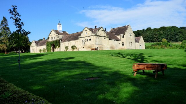
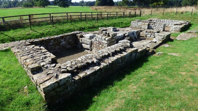
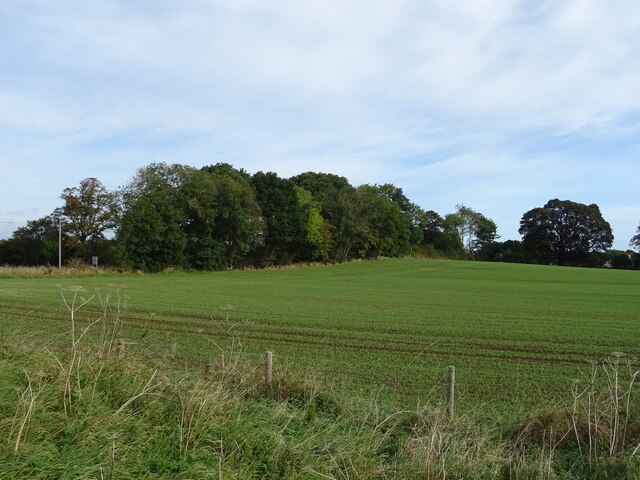
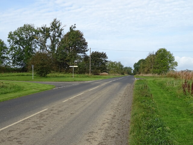
Low Brunton Images

Images are sourced within 2km of 55.025964/-2.1240761 or Grid Reference NY9270. Thanks to Geograph Open Source API. All images are credited.

Stable Block north of Chesters A late 19th century stable block in a modified Baroque style <span class="nowrap"><a title="https://historicengland.org.uk/listing/the-list/list-entry/1370562" rel="nofollow ugc noopener" href="https://historicengland.org.uk/listing/the-list/list-entry/1370562">Link</a><img style="margin-left:2px;" alt="External link" title="External link - shift click to open in new window" src="https://s1.geograph.org.uk/img/external.png" width="10" height="10"/></span>
Stable Block north of Chesters
A late 19th century stable block in a modified Baroque style LinkExternal link
Southern gate at Chesters Roman Fort Cilurnum (or Cilurvum), the Roman fort on Hadrian's Wall at Chesters marks the point where the Wall crossed the River North Tyne, the first major obstacle on its route from east to west. A succession of finely engineered timber bridges with stone piers spanned the river here, and the Wall itself was continued right down to the water's edge. 

The fort was built just after the wall was completed in AD 123. The site guarded a bridge carrying the military road behind the wall across the River North Tyne. It is considered to be the best preserved Roman cavalry fort along Hadrian's Wall. 

Today the site is under the care of English Heritage and is open to the public. There is a museum on the site, which houses Roman artefacts found at the fort and elsewhere along the wall.

<span class="nowrap"><a title="http://www.english-heritage.org.uk/daysout/properties/chesters-roman-fort-and-museum-hadrians-wall/history-and-research/" rel="nofollow ugc noopener" href="http://www.english-heritage.org.uk/daysout/properties/chesters-roman-fort-and-museum-hadrians-wall/history-and-research/">Link</a><img style="margin-left:2px;" alt="External link" title="External link - shift click to open in new window" src="https://s1.geograph.org.uk/img/external.png" width="10" height="10"/></span> English Heritage, Chesters Roman Fort
<span class="nowrap"><a title="http://www.hadrians-wall.org/page.aspx/Interactive-Map/Hadrian's-Wall-and-the-Roman-Sites/Chesters-Roman-Fort" rel="nofollow ugc noopener" href="http://www.hadrians-wall.org/page.aspx/Interactive-Map/Hadrian's-Wall-and-the-Roman-Sites/Chesters-Roman-Fort">Link</a><img style="margin-left:2px;" alt="External link" title="External link - shift click to open in new window" src="https://s1.geograph.org.uk/img/external.png" width="10" height="10"/></span> Hadrian’s Wall Country, Inspiring Landscapes
Southern gate at Chesters Roman Fort
Cilurnum (or Cilurvum), the Roman fort on Hadrian's Wall at Chesters marks the point where the Wall crossed the River North Tyne, the first major obstacle on its route from east to west. A succession of finely engineered timber bridges with stone piers spanned the river here, and the Wall itself was continued right down to the water's edge. The fort was built just after the wall was completed in AD 123. The site guarded a bridge carrying the military road behind the wall across the River North Tyne. It is considered to be the best preserved Roman cavalry fort along Hadrian's Wall. Today the site is under the care of English Heritage and is open to the public. There is a museum on the site, which houses Roman artefacts found at the fort and elsewhere along the wall. LinkExternal link English Heritage, Chesters Roman Fort LinkExternal link Hadrian’s Wall Country, Inspiring Landscapes
Crop field, Humshaugh Off the B6320.
Crop field, Humshaugh
Off the B6320.
B6320 approaching crossroads Towards Wark.
B6320 approaching crossroads
Towards Wark.
House on the A6079, Dunkirk
Railway bridge over the A6079, Chollerton Carries the former Border Counties Railway which connected Hexham in Northumberland, with Riccarton Junction on the Waverley Route in Roxburghshire. It closed to passengers in 1955.
Railway bridge over the A6079, Chollerton
Carries the former Border Counties Railway which connected Hexham in Northumberland, with Riccarton Junction on the Waverley Route in Roxburghshire. It closed to passengers in 1955.
Memorial benches beside the road to Haughton Castle Two memorial benches beside the road looking towards Humshaugh village. 

The wooden bench is undated but inscribed "In fond memory of Margaret Ballarini". The lady in question was presumably a keen walker as footprints have also been carved into the top rail. 

The back of the metal bench incorporates the dedication "A true friend and inspiration to many. In loving memory of Ryan Castle 1999-2021". Ryan died from a brain tumour in February 2021, see <span class="nowrap"><a title="www.ryancastle.co.uk" rel="nofollow ugc noopener" href="http://www.ryancastle.co.uk">Link</a><img style="margin-left:2px;" alt="External link" title="External link - shift click to open in new window" src="https://s1.geograph.org.uk/img/external.png" width="10" height="10"/></span>.
Memorial benches beside the road to Haughton Castle
Two memorial benches beside the road looking towards Humshaugh village. The wooden bench is undated but inscribed "In fond memory of Margaret Ballarini". The lady in question was presumably a keen walker as footprints have also been carved into the top rail. The back of the metal bench incorporates the dedication "A true friend and inspiration to many. In loving memory of Ryan Castle 1999-2021". Ryan died from a brain tumour in February 2021, see LinkExternal link.
Field and trees near Haughton Mains
Manor Cottages, Humshaugh
The road to Haughton Castle
The road to Haughton Castle Haughton Castle White Lodge on the bend.
The road to Haughton Castle
Haughton Castle White Lodge on the bend.
The road to Haughton Castle
Field opposite Haughton Mains
Sheep in field opposite Haughton Mains
Haughton Castle White Lodge The lodge stands about a mile from the Castle, beside the public road.
Haughton Castle White Lodge
The lodge stands about a mile from the Castle, beside the public road.
The road to Haughton Castle
Field beside the road to Haughton Castle
Show me another place!

Low Brunton is located at Grid Ref: NY9270 (Lat: 55.025964, Lng: -2.1240761)

Unitary Authority: Northumberland

Police Authority: Northumbria

What 3 Words

///longer.wipe.acoustics. Near Wall, Northumberland

Nearby Locations

Low Brunton

Related Wikis

Low Brunton

Low Brunton is a small village in Northumberland, England. Nearby settlements include Humshaugh, Chollerford and Walwick. == Early history == Hadrian...

Humshaugh railway station

Humshaugh railway station served the village of Chollerford, Northumberland, England from 1858 to 1958 on the Border Counties Railway. == History == The...

Chollerford Bridge

Chollerford Bridge is a stone bridge that replaced an earlier medieval bridge crossing the River North Tyne at Chollerford, Northumberland, England. It...

Chollerford

Chollerford is a village in Northumberland, England, approximately four miles (seven km) north of Hexham (via the A6079 road) on the B6318, the Military...

Nearby Amenities

Located within 500m of 55.025964,-2.1240761
Note: National speed limit sign SW-bound
Lat/Long: 55.0250085/-2.1256052
Traffic Signals
Lat/Long: 55.0288906/-2.1268503
Traffic Signals
Lat/Long: 55.0295518/-2.1277219
Note: 40 mph speed limit sign SW-bound
Lat/Long: 55.0269971/-2.1223554
Brunton Turret
Designation: Roman fortification
Historic: archaeological_site
Lat/Long: 55.0233405/-2.1249047
Power: pole
Lat/Long: 55.0245192/-2.118689
Power: pole
Lat/Long: 55.0248905/-2.1174453
Cafe
Riverside Tea Room
Lat/Long: 55.0296665/-2.1284504
Power: pole
Lat/Long: 55.0237547/-2.1212378
Power: pole
Lat/Long: 55.0241561/-2.1198889
Low Brunton
Place: hamlet
Wikidata: Q11762901
Lat/Long: 55.0259825/-2.1242741
Waterway: weir
Lat/Long: 55.0286601/-2.1283929
Turning Loop
Lat/Long: 55.0288554/-2.1255353
Post Box
Collection Times: Mo-Fr 09:00; Sa 07:00
Operator: Royal Mail
Operator Wikidata: Q638098
Post Box Type: wall
Ref: NE46 13D
Royal Cypher: VR
Royal Cypher Wikidata: Q33102356
Lat/Long: 55.0298308/-2.1277021
Humshaugh
Historic Railway: station
Old Name: Chollerford
Railway: site
Wikidata: Q38251956
Wikipedia: en:Humshaugh railway station
Lat/Long: 55.0288584/-2.1250647
The data included in this document is from www.openstreetmap.org. The data is made available under ODbL.

Have you been to Low Brunton?

Leave your review of Low Brunton below (or comments, questions and feedback).