Beelsby

Settlement in Lincolnshire

England

Beelsby

Mog's Hollow
Mog's Hollow Credit: David Brown

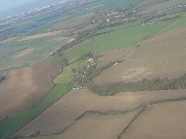
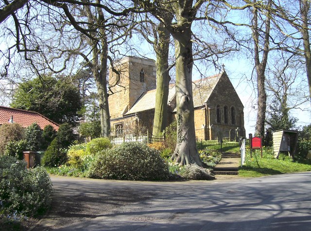
Beelsby is a small village located in the East Lindsey district of Lincolnshire, England. Situated approximately five miles northeast of the town of Caistor, it is surrounded by beautiful countryside and offers a peaceful and rural atmosphere.

The village itself is made up of a scattering of traditional cottages and farmhouses, reflecting its agricultural heritage. Agriculture remains a significant part of the local economy, with several farms operating in the area.

Beelsby is well-connected to neighboring towns and cities, with the A1173 road running through the village, providing easy access to Grimsby and the nearby Humber Bridge. The village is also served by regular bus services, ensuring convenient transportation options for residents and visitors alike.

While Beelsby is primarily residential, there are limited amenities available within the village. These include a local pub, The Beelsby Arms, which provides a social hub for the community. For a wider range of amenities, residents often travel to nearby towns such as Caistor or Grimsby.

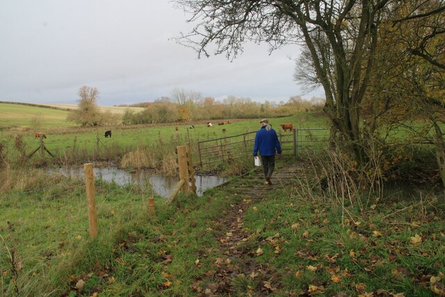
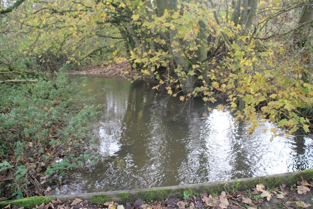
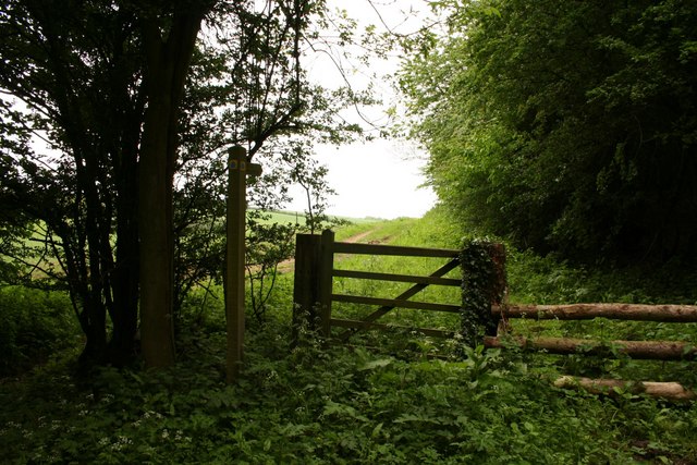
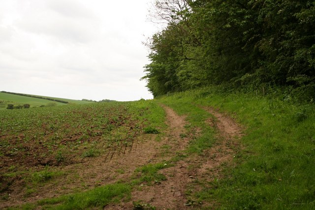
Nature enthusiasts will appreciate the picturesque surroundings of Beelsby, with ample opportunities for outdoor activities such as walking, cycling, and exploring the nearby Lincolnshire Wolds, an Area of Outstanding Natural Beauty. The village also benefits from its proximity to the coastline, with popular seaside destinations like Cleethorpes within a short drive.

Overall, Beelsby offers a tranquil and charming setting, ideal for those seeking a peaceful rural lifestyle while still being within reach of larger towns and amenities.

If you have any feedback on the listing, please let us know in the comments section below.

Beelsby Images

Images are sourced within 2km of 53.499275/-0.182159 or Grid Reference TA2001. Thanks to Geograph Open Source API. All images are credited.

Mog's Hollow
Mog's Hollow
Odessa Farm
Odessa Farm
No doubt it's not this way!
Crossroads at Thatches
Hill SE of Swallow: aerial 2023
Crossing Waithe Beck on the way to Hatcliffe
Bridge over Waithe Beck next to Deepdales Wood, Bridleway to Hatcliffe (1) Looking southwards.

The water level is high, following prolonged rain.
Bridge over Waithe Beck next to Deepdales Wood, Bridleway to Hatcliffe (1)
Looking southwards. The water level is high, following prolonged rain.
Bridleway to Hatcliffe Bridleway from Croxby Pond Plantation to Hatcliffe
Bridleway to Hatcliffe
Bridleway from Croxby Pond Plantation to Hatcliffe
Hatcliffe Bridleway
Hatcliffe Bridleway
Heading through Croxby Pond Plantation
Wanderlust Way
Wanderlust Way
Irby Holmes Wood
Irby Holmes Wood
Field path near Beelsby
Round barrow near Hatliffe Manor House: aerial 2022 See: <span class="nowrap"><a title="https://www.heritagegateway.org.uk/Gateway/Results_Single.aspx?uid=MNL213&resourceID=1039" rel="nofollow ugc noopener" href="https://www.heritagegateway.org.uk/Gateway/Results_Single.aspx?uid=MNL213&resourceID=1039">Link</a><img style="margin-left:2px;" alt="External link" title="External link - shift click to open in new window" src="https://s1.geograph.org.uk/img/external.png" width="10" height="10"/></span> and
<span class="nowrap"><a title="https://www.heritagegateway.org.uk/Gateway/Results_Single.aspx?uid=MNL216&resourceID=1039" rel="nofollow ugc noopener" href="https://www.heritagegateway.org.uk/Gateway/Results_Single.aspx?uid=MNL216&resourceID=1039">Link</a><img style="margin-left:2px;" alt="External link" title="External link - shift click to open in new window" src="https://s1.geograph.org.uk/img/external.png" width="10" height="10"/></span>

A prehistoric burial mound still standing to a height of at least 2 metres. It is thought that this has never been ploughed, or disturbed by excavation in the past. It is very prominent in the local landscape and is faced directly by the rear of Hatcliffe Manor. The barrow may thus have formed a deliberate landscape focus for the manor house, acting as a backdrop to the original gardens to the rear of the house.
Round barrow near Hatliffe Manor House: aerial 2022
See: LinkExternal link and LinkExternal link A prehistoric burial mound still standing to a height of at least 2 metres. It is thought that this has never been ploughed, or disturbed by excavation in the past. It is very prominent in the local landscape and is faced directly by the rear of Hatcliffe Manor. The barrow may thus have formed a deliberate landscape focus for the manor house, acting as a backdrop to the original gardens to the rear of the house.
Waithe Beck near Hatfield, Lincs: aerial 2022
Hatcliffe towards Barnoldby le Beck: aerial 2023 Two sides of a potential Medieval or Post Medieval enclosure were seen as earthworks. The possible enclosure is ditch-defined, centred at TA 2228 0133. 

See: <span class="nowrap"><a title="https://www.heritagegateway.org.uk/Gateway/Results_Single.aspx?uid=MNL2515&resourceID=1039" rel="nofollow ugc noopener" href="https://www.heritagegateway.org.uk/Gateway/Results_Single.aspx?uid=MNL2515&resourceID=1039">Link</a><img style="margin-left:2px;" alt="External link" title="External link - shift click to open in new window" src="https://s1.geograph.org.uk/img/external.png" width="10" height="10"/></span>
Hatcliffe towards Barnoldby le Beck: aerial 2023
Two sides of a potential Medieval or Post Medieval enclosure were seen as earthworks. The possible enclosure is ditch-defined, centred at TA 2228 0133. See: LinkExternal link
Highland cattle near Hatcliffe
Pond in Beelsby
Pond in Beelsby
Show me another place!

Beelsby is located at Grid Ref: TA2001 (Lat: 53.499275, Lng: -0.182159)

Division: Parts of Lindsey

Unitary Authority: North East Lincolnshire

Police Authority: Humberside

What 3 Words

///lamenting.warblers.object. Near Laceby, Lincolnshire

Nearby Locations

Beelsby Beelsby

Related Wikis

Beelsby

Beelsby is a village in North East Lincolnshire, England. The village is situated approximately 6 miles (10 km) south-west from Grimsby. Beelsby population...

Hatcliffe

Hatcliffe is a small village and civil parish in rural North East Lincolnshire, England. It is situated 6 miles (10 km) south-west from Grimsby and 1.5...

West Ravendale

West Ravendale is a hamlet in the civil parish of East Ravendale , in North East Lincolnshire, England, and approximately 8 miles (13 km) south-west from...

West Ravendale Priory

West Ravendale Priory was a Premonstratensian priory in North East Lincolnshire, England and one of nine within the historical county. The site of the...

Grimsby Rural District

Grimsby Rural District was a rural district in Lincolnshire, England, part of the administrative county of Lindsey, from 1894 to 1974. The district covered...

Swallow, Lincolnshire

Swallow is a small village and civil parish in the West Lindsey district of Lincolnshire, England, on the A46 road 4 miles (6.4 km) north-east from Caistor...

Irby upon Humber

Irby upon Humber or Irby-on-Humber is a small village and (as just Irby) a civil parish in North East Lincolnshire, England. The village is situated on...

Cuxwold

Cuxwold is a village and former civil parish, now in the parish of Swallow, in the West Lindsey district of Lincolnshire, England. It lies in the Lincolnshire...

Nearby Amenities

Located within 500m of 53.499275,-0.182159
Beelsby
Is In: Lincolnshire, England, UK
Is In District: North East Lincolnshire
Place: hamlet
Lat/Long: 53.499127/-0.1824549
Bus Stop
Main Road
Naptan AtcoCode: 228000165836
Naptan Bearing: NE
Naptan CommonName: Main Road
Naptan Indicator: NE-bound
Naptan Landmark: St Judes
Naptan NaptanCode: gridgap
Naptan Notes: none
Naptan Street: Main Road
Naptan Verified: no
Source: naptan_import
Lat/Long: 53.5001386/-0.1815203
Bus Stop
Main Road
Naptan AtcoCode: 228000165837
Naptan Bearing: SW
Naptan CommonName: Main Road
Naptan Indicator: SW-bound
Naptan Landmark: St Judes
Naptan NaptanCode: gridjap
Naptan Notes: none
Naptan Street: Main Road
Naptan Verified: no
Source: naptan_import
Lat/Long: 53.5000972/-0.1814646
Post Box
Operator: Royal Mail
Post Box Type: lamp
Ref: DN37 31
Source: survey
Lat/Long: 53.5002591/-0.1812347
Badger Hills
Place: locality
Source: Bing
Lat/Long: 53.4995994/-0.1747903
Beelsby Hall Farm
Place: farm
Source: Bing
Lat/Long: 53.5031191/-0.180562
The data included in this document is from www.openstreetmap.org. The data is made available under ODbL.

Have you been to Beelsby?

Leave your review of Beelsby below (or comments, questions and feedback).