Beeley
Settlement in Derbyshire Derbyshire Dales
England
Beeley
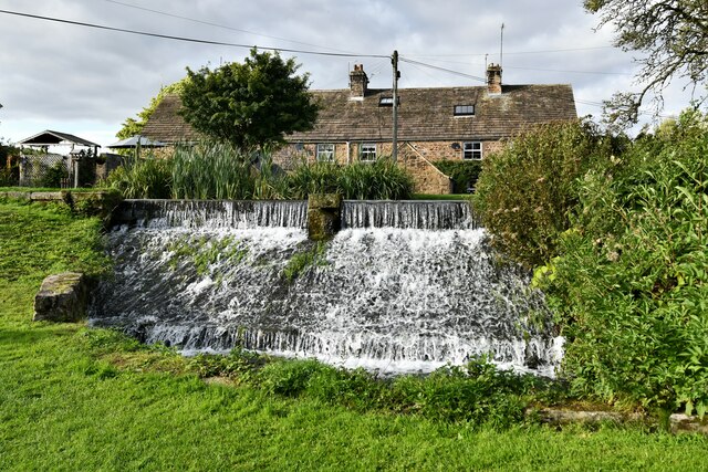
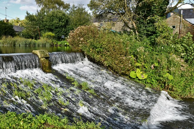
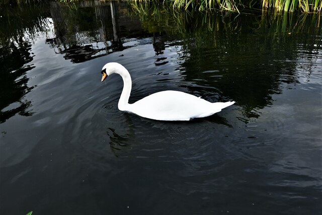
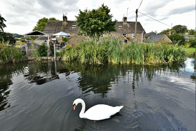
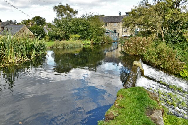
Beeley is a small village located in the county of Derbyshire, England. Situated within the picturesque Peak District National Park, it offers stunning natural beauty and a tranquil atmosphere. The village is nestled in the Derwent Valley, surrounded by rolling hills, lush green meadows, and dense woodlands, making it an ideal destination for nature lovers and outdoor enthusiasts.
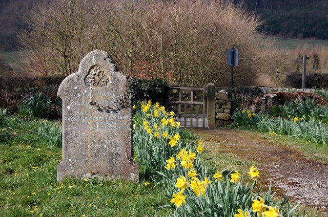
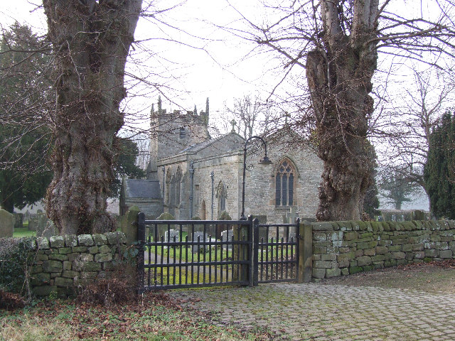
With a population of around 200 people, Beeley retains a charming and close-knit community feel. The village itself is characterized by its traditional stone cottages, some of which date back to the 17th century, adding to the area's quaint and historic ambiance. The local St. Anne's Church, built in the 18th century, is another notable landmark.
Beeley is also home to the renowned Chatsworth House, one of the most iconic stately homes in the United Kingdom. This grand mansion, located just a short distance from the village, attracts visitors from all over the world to admire its magnificent architecture, extensive art collection, and beautifully landscaped gardens.
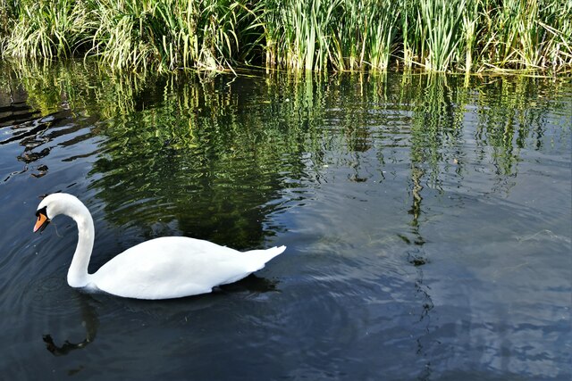
In addition to its natural and architectural splendor, Beeley offers a range of outdoor activities. The surrounding area provides ample opportunities for hiking, cycling, and horseback riding, with several scenic trails and bridleways to explore. The nearby River Derwent is also popular for fishing and canoeing.
Overall, Beeley is a charming village that combines stunning natural beauty, rich history, and a strong sense of community. Whether visitors are looking to immerse themselves in nature, discover local heritage, or simply escape the hustle and bustle of city life, Beeley offers a perfect retreat in the heart of Derbyshire.
If you have any feedback on the listing, please let us know in the comments section below.
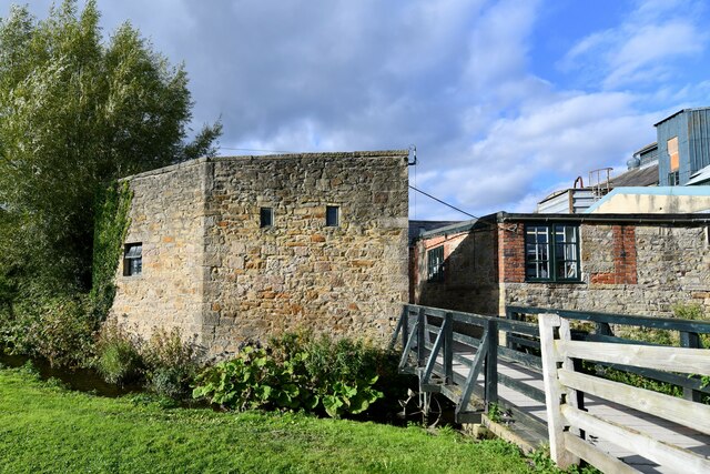
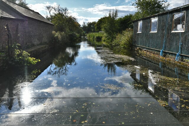
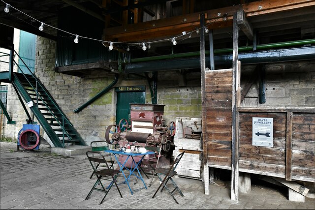
Beeley Images
Images are sourced within 2km of 53.203371/-1.604848 or Grid Reference SK2667. Thanks to Geograph Open Source API. All images are credited.


Beeley is located at Grid Ref: SK2667 (Lat: 53.203371, Lng: -1.604848)
Administrative County: Derbyshire
District: Derbyshire Dales
Police Authority: Derbyshire
What 3 Words
///gong.relax.udder. Near Bakewell, Derbyshire
Nearby Locations
Related Wikis
Beeley
Beeley is a village and civil parish in northern Derbyshire, England. Located near Bakewell in the Derbyshire Dales, it is situated on the B6012 road,...

Lees Priory
Lees Priory is a former Augustinian Priory located in Derbyshire, United Kingdom. == History == Lees Priory was located near to Chatsworth House, in an...
Rowsley
Rowsley () is a village on the A6 road in the English county of Derbyshire. The population as at the 2011 census was 507.It is at the point where the River...
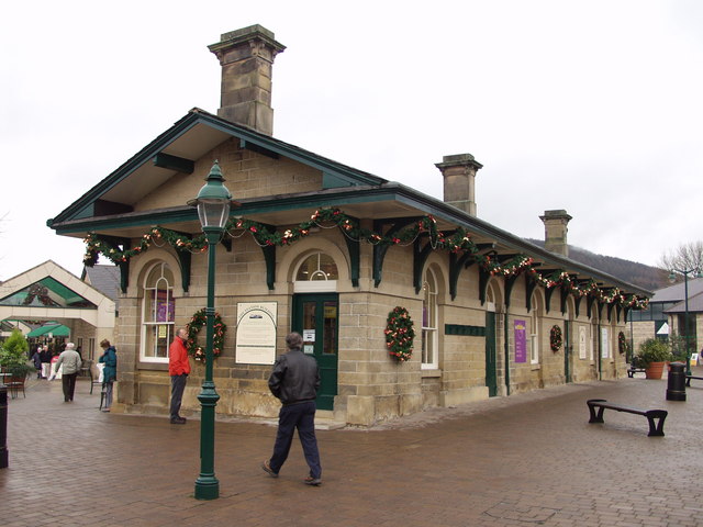
Rowsley railway station
The original Rowsley railway station was opened in 1849 by the Manchester, Buxton, Matlock and Midlands Junction Railway to serve the village of Rowsley...
Nearby Amenities
Located within 500m of 53.203371,-1.604848Have you been to Beeley?
Leave your review of Beeley below (or comments, questions and feedback).