Llwyn-hudol
Settlement in Caernarfonshire
Wales
Llwyn-hudol
Llwyn-hudol is a small village located in the county of Caernarfonshire, Wales. Situated in the rural countryside, it is nestled amongst the picturesque landscapes of Snowdonia National Park. The village is surrounded by rolling hills, lush green fields, and stunning views of the nearby mountains.
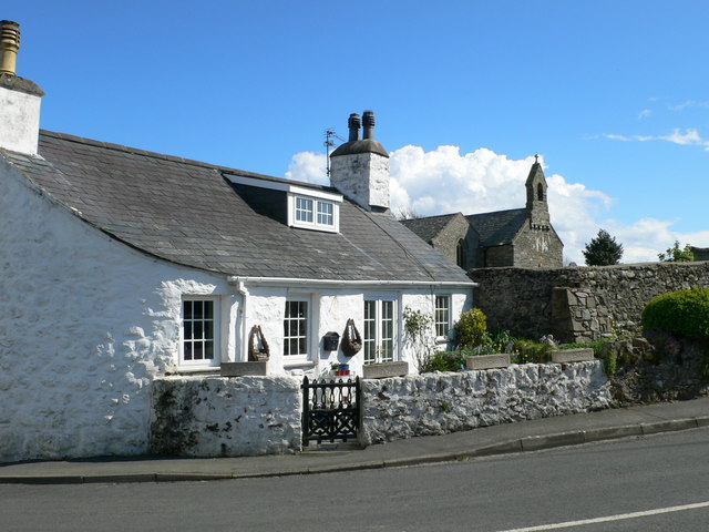
The population of Llwyn-hudol is relatively small, with just a few hundred residents. The village mainly consists of traditional Welsh stone cottages and farmhouses, giving it a charming and rustic feel. Many of the buildings date back several centuries, showcasing the area's rich history and heritage.
The village is known for its tranquil and peaceful atmosphere, making it a popular destination for those seeking a break from the hustle and bustle of city life. The surrounding countryside offers ample opportunities for outdoor activities such as hiking, cycling, and wildlife spotting. The nearby rivers and lakes are perfect for fishing and boating enthusiasts.
Although Llwyn-hudol is a small village, it has a strong sense of community. The residents often come together for local events and festivals, celebrating their Welsh culture and traditions. The village also has a small primary school, a village hall, and a local pub, which serves as a hub for social gatherings.
Visitors to Llwyn-hudol can enjoy the tranquility of the countryside, explore the stunning natural beauty of Snowdonia National Park, and immerse themselves in the warm and welcoming community.
If you have any feedback on the listing, please let us know in the comments section below.
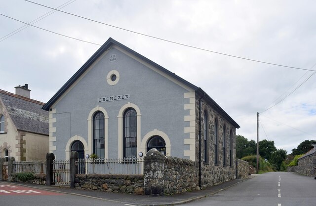
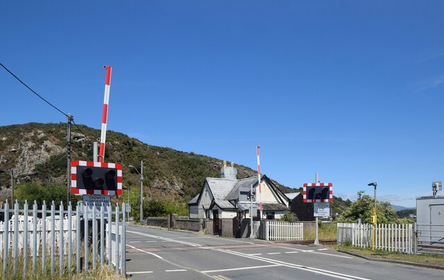
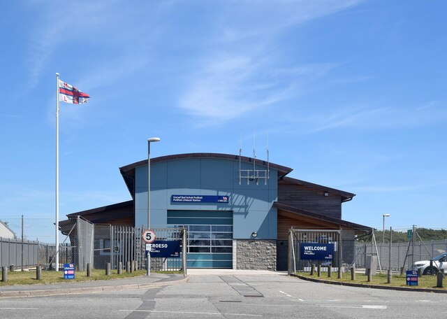
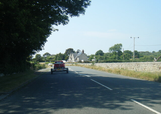
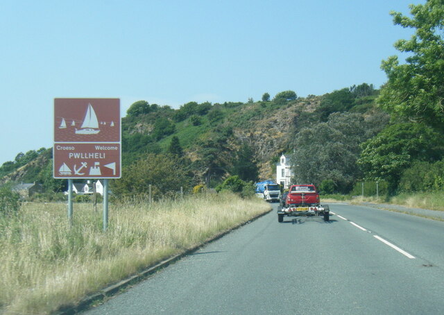
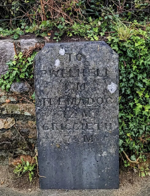
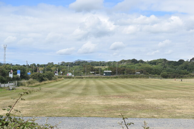
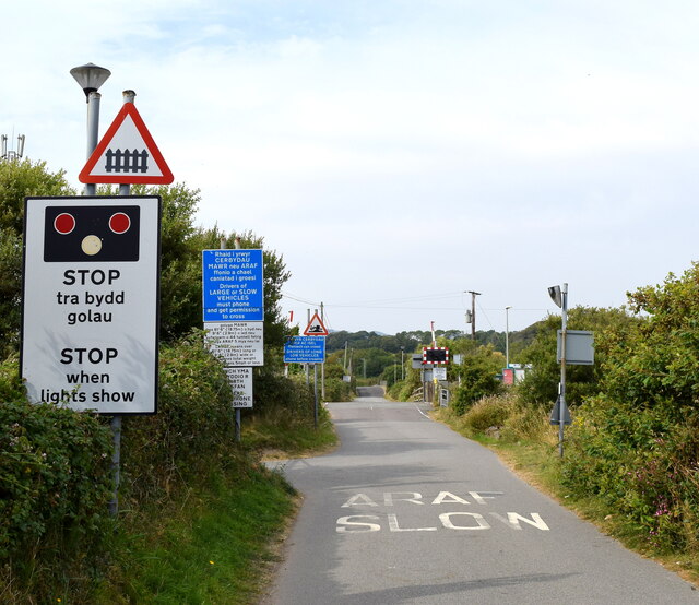
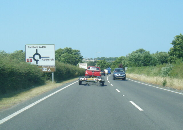
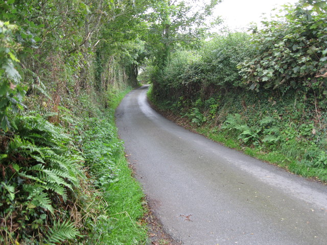
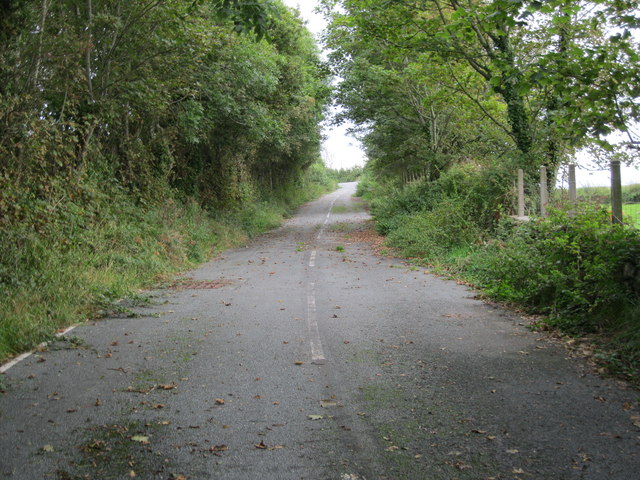
Llwyn-hudol Images
Images are sourced within 2km of 52.903882/-4.3998797 or Grid Reference SH3836. Thanks to Geograph Open Source API. All images are credited.


Llwyn-hudol is located at Grid Ref: SH3836 (Lat: 52.903882, Lng: -4.3998797)
Unitary Authority: Gwynedd
Police Authority: North Wales
What 3 Words
///steers.toffee.caravans. Near Pwllheli, Gwynedd
Nearby Locations
Related Wikis
Abererch
Aber-erch ([abɛrˈɛrχ], Welsh for "Mouth of the Erch") is a small village and former civil parish on the Llŷn Peninsula in the Welsh county of Gwynedd....

Bryn Beryl Hospital
Bryn Beryl Hospital (Welsh: Ysbyty Bryn Beryl) is a health facility in Pwllheli, Gwynedd, Wales. It is managed by the Betsi Cadwaladr University Health...

Afon Erch
The Afon Erch is a short river on the Llŷn peninsula, Gwynedd, Wales. It arises near the village of Llanaelhaearn, flowing south and southwest towards...

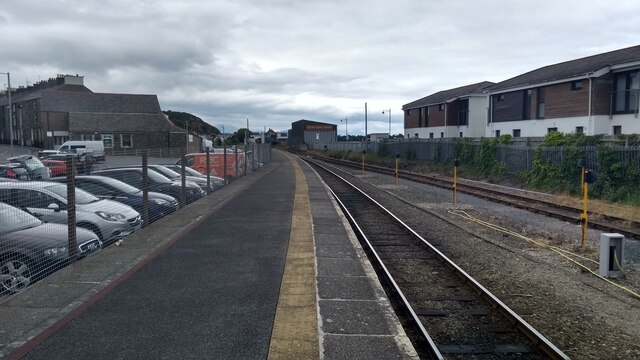
Abererch railway station
Abererch railway station is located at a level crossing on the minor road from the beach to the village of Abererch on the Llŷn Peninsula in Gwynedd, Wales...
Nearby Amenities
Located within 500m of 52.903882,-4.3998797Have you been to Llwyn-hudol?
Leave your review of Llwyn-hudol below (or comments, questions and feedback).