Llwyncelyn

Settlement in Monmouthshire

Wales

Llwyncelyn

Converted Baptist chapel near Llangibby This old Victorian chapel has been converted into a home.
Converted Baptist chapel near Llangibby Credit: Jeremy Bolwell

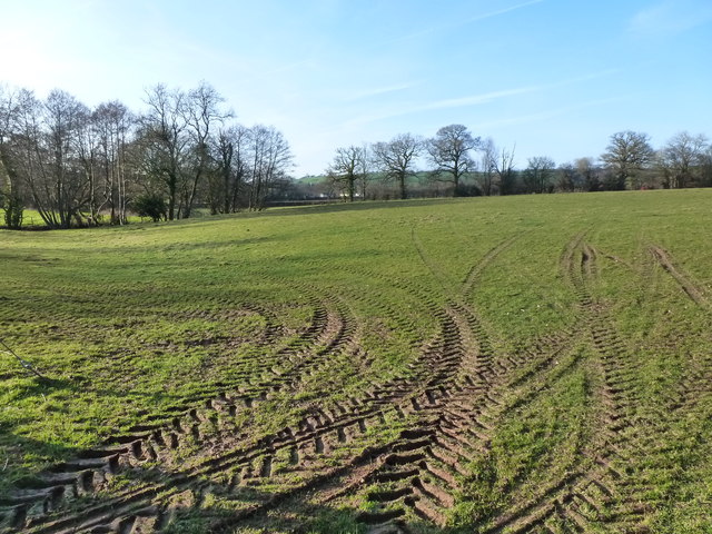
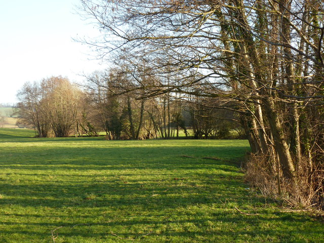
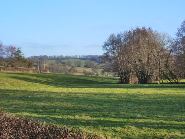
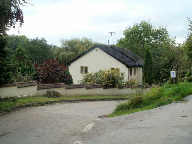
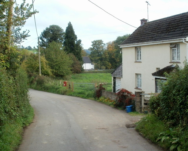
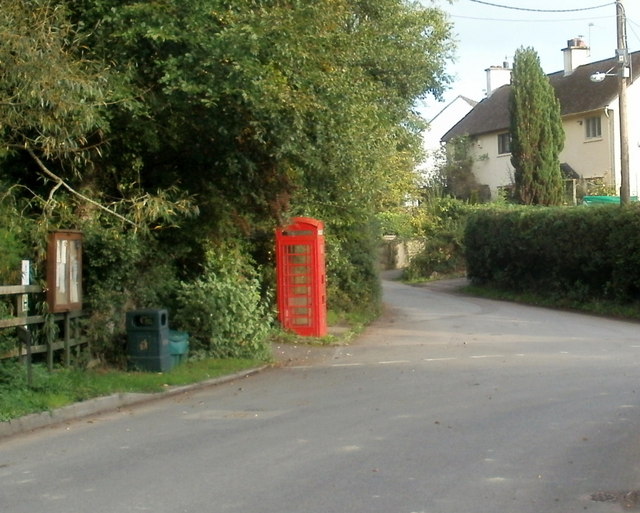
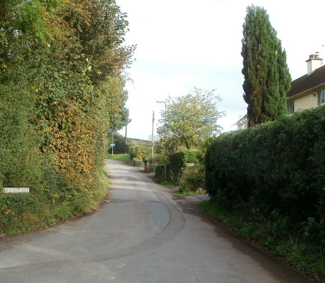
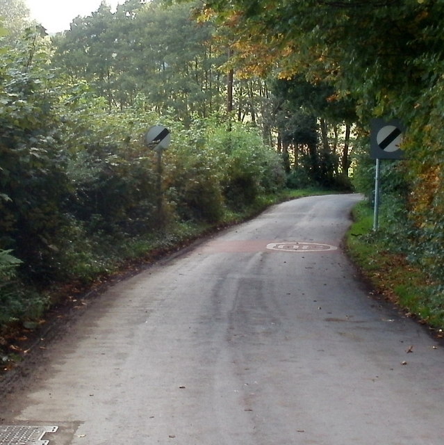
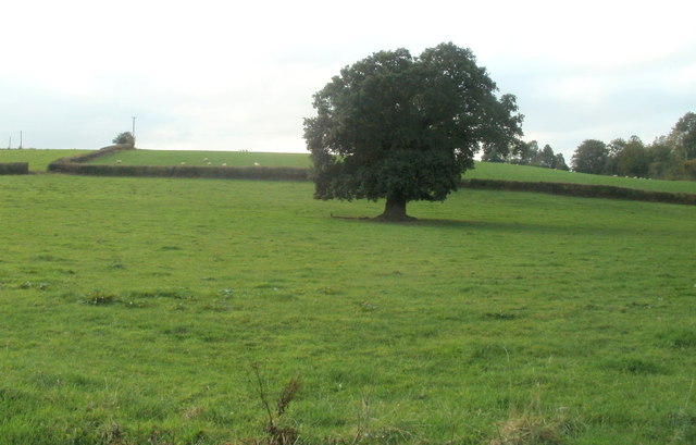
Llwyncelyn is a small village located in the county of Monmouthshire, Wales. Situated in the southeastern part of the country, it is surrounded by picturesque rolling hills and lush countryside, offering its residents and visitors a tranquil and idyllic setting.

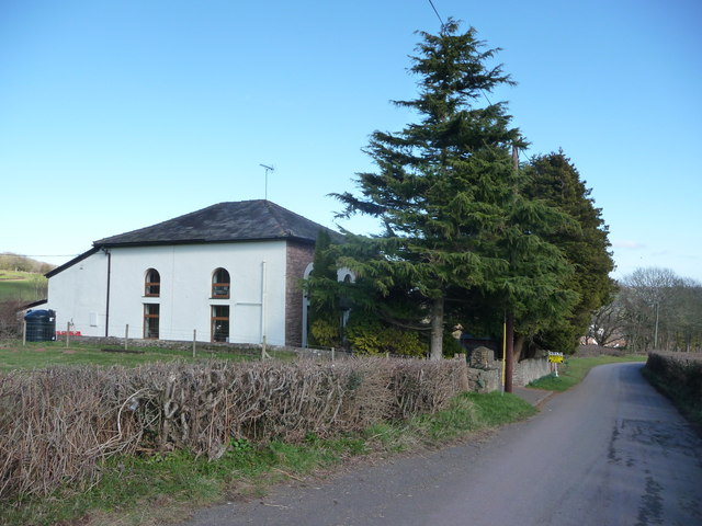
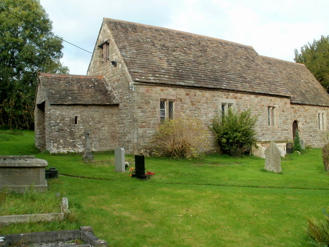
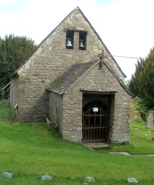
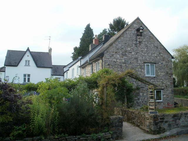
The village is home to a close-knit community, with a population of around 500 people. It has a rich history that dates back centuries, evident in the traditional architecture that can be seen throughout the area. The village is known for its charming stone cottages and historic buildings, which add to its quaint and timeless atmosphere.

Llwyncelyn is well-connected to the surrounding areas, with good transport links to nearby towns and cities. The village is located just a short distance from the bustling market town of Abergavenny, which offers a range of amenities including shops, restaurants, and leisure facilities.

Nature enthusiasts will find plenty to explore in the surrounding countryside. The village is a gateway to the beautiful Brecon Beacons National Park, renowned for its stunning landscapes, hiking trails, and outdoor activities. The park is a haven for wildlife and offers breathtaking views from its peaks.

Llwyncelyn also benefits from a strong sense of community spirit, with various local events and activities organized throughout the year. These include fairs, festivals, and community gatherings, providing opportunities for residents to come together and celebrate their shared heritage.

Overall, Llwyncelyn is a charming village that offers a peaceful and scenic retreat, with a rich history and strong community ties.

If you have any feedback on the listing, please let us know in the comments section below.
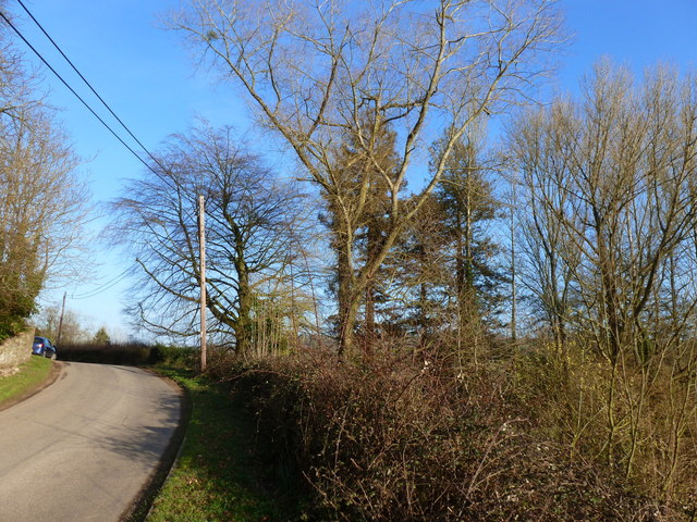
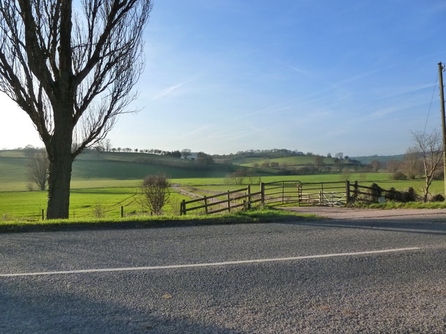
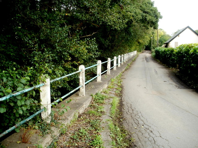
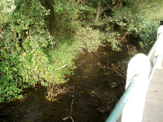
Llwyncelyn Images

Images are sourced within 2km of 51.649076/-2.935065 or Grid Reference ST3594. Thanks to Geograph Open Source API. All images are credited.

Converted Baptist chapel near Llangibby This old Victorian chapel has been converted into a home.
Converted Baptist chapel near Llangibby
This old Victorian chapel has been converted into a home.
Field with - allegedly - a footpath But tractor tracks here are more prominent than those of walking boots!
Field with - allegedly - a footpath
But tractor tracks here are more prominent than those of walking boots!
The winding path of the Sor Brook traced by trees, near Llandegveth
The valley of the Sor Brook, from Tre-Herbert Road, near Llandegveth
The road near Llwyncelyn
Track entrance opposite Llansoar Farm
Road alongside Sor Brook, Llandegveth A fence is between the main road through the village and Sor Brook, a tributary of the River Usk.
Road alongside Sor Brook, Llandegveth
A fence is between the main road through the village and Sor Brook, a tributary of the River Usk.
Sor Brook, Llandegveth The brook is alongside this <a title="https://www.geograph.org.uk/photo/3380656" href="https://www.geograph.org.uk/photo/3380656">Link</a> part of the main road through the village.
Sor Brook, Llandegveth
The brook is alongside this Link part of the main road through the village.
Shop Cottage, Llandegveth The main road through the village descends past Shop Cottage.
Shop Cottage, Llandegveth
The main road through the village descends past Shop Cottage.
St. Tegfedd's church, Llandegveth The church is in the Church in Wales parish of Llanfrechfa and Llanddewi Fach with Llandegveth in the Diocese of Monmouth. One source states that the church was   built between c1150 and c1250 in the Early English style. It was rebuilt in 1875-1876.
St. Tegfedd's church, Llandegveth
The church is in the Church in Wales parish of Llanfrechfa and Llanddewi Fach with Llandegveth in the Diocese of Monmouth. One source states that the church was built between c1150 and c1250 in the Early English style. It was rebuilt in 1875-1876.
Twin bells, St. Tegfedd's church, Llandegveth This is a view of the west side of the church.
<a title="https://www.geograph.org.uk/photo/3380677" href="https://www.geograph.org.uk/photo/3380677">Link</a> to another view and some details.
Twin bells, St. Tegfedd's church, Llandegveth
This is a view of the west side of the church. Link to another view and some details.
Church Road postbox, Llandegveth The postbox is attached to a post alongside a field gate.
Church Road postbox, Llandegveth
The postbox is attached to a post alongside a field gate.
Empty phonebox, Llandegveth The red box on the corner of Pen y glog Road and Nantsor Road is now only a shell.
The telephone equipment has been removed.
Empty phonebox, Llandegveth
The red box on the corner of Pen y glog Road and Nantsor Road is now only a shell. The telephone equipment has been removed.
Church Road, Llandegveth A view NW towards the village church <a title="https://www.geograph.org.uk/photo/3380677" href="https://www.geograph.org.uk/photo/3380677">Link</a> from the corner of Pen y glog Road and Nantsor Road.
Church Road, Llandegveth
A view NW towards the village church Link from the corner of Pen y glog Road and Nantsor Road.
Pen y glog Road, Llandegveth The road heads towards Llangybi via Pen y glog Farm. 
The PEN Y GLOG ROAD name sign on the left is surrounded by vegetation.
Pen y glog Road, Llandegveth
The road heads towards Llangybi via Pen y glog Farm. The PEN Y GLOG ROAD name sign on the left is surrounded by vegetation.
Bell House with Brodawel, Llandegveth The small name sign on the wall shows Bell House with Brodawel.
The location is the corner of Nantsor Road and Church Road.
Bell House with Brodawel, Llandegveth
The small name sign on the wall shows Bell House with Brodawel. The location is the corner of Nantsor Road and Church Road.
End of the 30mph zone in Llandegveth Nantsor Road heads SW away from Llandegveth. The 30mph speed limit 
through the village increases to the National Speed Limit ahead.
End of the 30mph zone in Llandegveth
Nantsor Road heads SW away from Llandegveth. The 30mph speed limit through the village increases to the National Speed Limit ahead.
Oak in a field south of Llandegveth Viewed from Nantsor Road.
Oak in a field south of Llandegveth
Viewed from Nantsor Road.
Show me another place!

Llwyncelyn is located at Grid Ref: ST3594 (Lat: 51.649076, Lng: -2.935065)

Unitary Authority: Monmouthshire

Police Authority: Gwent

What 3 Words

///skips.reefs.notifying. Near Llangybi, Monmouthshire

Related Wikis

Berllan-deg, Llanhennock

Berllan-deg, Llanhennock, Monmouthshire is a country house dating from the mid-17th century. A rare survival of a remarkably unaltered hall house, Berllan...

Ton Farmhouse, Llangybi

Ton Farmhouse, Llangybi, Monmouthshire is a farmhouse dating from the early 17th century. John Newman, in his Monmouthshire Pevsner, describes it as a...

Llandegveth

Llandegveth (Welsh: Llandegfedd) is a village in Monmouthshire, south east Wales. == Location == Llandegveth is located between Cwmbran, in Torfaen, and...

Llanhennock

Llanhennock (Welsh: Llanhenwg) is a village and former community, now in the community of Llangybi, in Monmouthshire, south east Wales, United Kingdom...

Glen Usk, Llanhennock

Glen Usk, Llanhennock, Monmouthshire is a country house dating from 1820. It was built for Sir Digby Mackworth, Bt. in the Neoclassical style. The house...

Tredunnock

Tredunnock (Welsh: Tredynog) is a small village in Monmouthshire, south east Wales, in the United Kingdom. Tredunnock is located four miles (6.4 km) northeast...

St Andrew's Church, Tredunnock

The Church of St Andrew, Tredunnock, Monmouthshire is a parish church with its origins in the 12th or 13th century. A Grade II* listed building, the church...

Llangybi, Monmouthshire

Llangybi (also spelled Llangibby) is a village and community in Monmouthshire, in southeast Wales, in the United Kingdom. It is located 3 miles (4.8 km...

Nearby Amenities

Located within 500m of 51.649076,-2.935065
Created By: GPSBabel-1.3.6
Lat/Long: 51.646961/-2.928744
Created By: GPSBabel-1.3.6
Lat/Long: 51.648644/-2.93372
Created By: GPSBabel-1.3.6
Lat/Long: 51.649659/-2.93599
Created By: GPSBabel-1.3.6
Lat/Long: 51.648904/-2.932343
Created By: GPSBabel-1.3.6
Lat/Long: 51.648868/-2.932056
Created By: GPSBabel-1.3.6
Lat/Long: 51.649751/-2.936527
Created By: GPSBabel-1.3.6
Lat/Long: 51.649749/-2.937113
Created By: GPSBabel-1.3.6
Lat/Long: 51.649088/-2.939431
Created By: GPSBabel-1.3.6
Lat/Long: 51.64916/-2.939218
Direction: 145
Generator Method: photovoltaic
Generator Output Electricity: yes
Generator Solar Modules: 14
Generator Source: solar
Generator Type: solar_photovoltaic_panel
Location: roof
Power: generator
Lat/Long: 51.6486909/-2.9419863
The data included in this document is from www.openstreetmap.org. The data is made available under ODbL.

Have you been to Llwyncelyn?

Leave your review of Llwyncelyn below (or comments, questions and feedback).