Cwm-y-wiwer Brake
Wood, Forest in Monmouthshire
Wales
Cwm-y-wiwer Brake
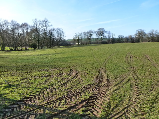
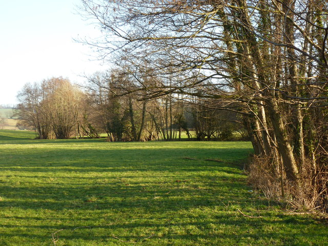
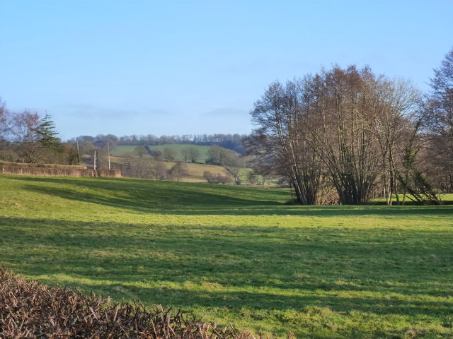
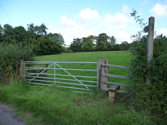
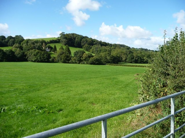
Cwm-y-wiwer Brake is a picturesque woodland situated in Monmouthshire, Wales. Covering an area of approximately 200 acres, this ancient forest is a haven for nature lovers and outdoor enthusiasts alike. The name "Cwm-y-wiwer" translates to "Valley of the Squirrels," which is fitting as the woodland is home to a thriving population of red squirrels.
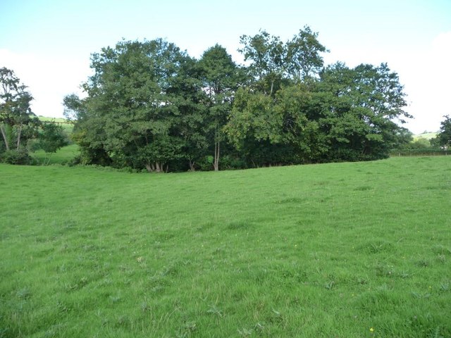
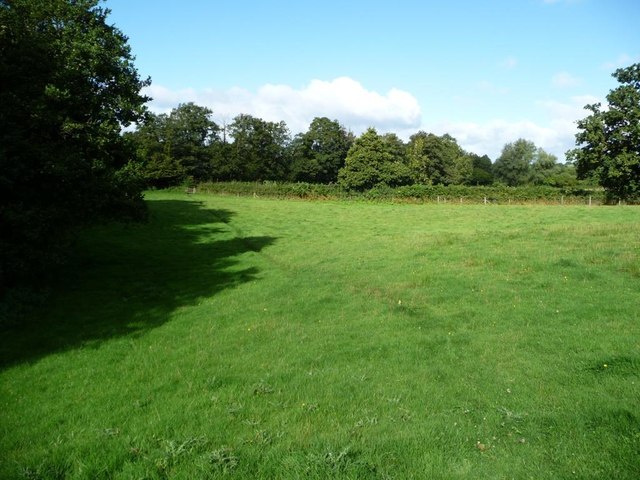
The forest is predominantly composed of oak and beech trees, with their towering canopies providing shade and shelter for a diverse array of flora and fauna. Bluebells, foxgloves, and wild garlic carpet the forest floor during the spring months, creating a stunning display of colors and scents.
Visitors to Cwm-y-wiwer Brake can explore the forest via a network of well-maintained trails, allowing for easy access and enjoyable walks. The trails wind through the woodland, offering glimpses of enchanting streams, small waterfalls, and hidden glades. Wildlife enthusiasts can spot a variety of bird species, including woodpeckers, owls, and buzzards, as well as other woodland creatures such as deer and rabbits.
Cwm-y-wiwer Brake is not only a place of natural beauty but also one of historical significance. The forest has been a source of timber for centuries, playing a crucial role in the local economy. Today, it is managed sustainably to preserve its ecological integrity and maintain its important role as a natural habitat.
Whether it's a peaceful stroll, birdwatching, or simply immersing oneself in the tranquility of nature, Cwm-y-wiwer Brake offers a captivating experience for all who visit.
If you have any feedback on the listing, please let us know in the comments section below.
Cwm-y-wiwer Brake Images
Images are sourced within 2km of 51.641325/-2.9283012 or Grid Reference ST3594. Thanks to Geograph Open Source API. All images are credited.


![Trees along a tributary of Sor Brook Fed by issues to the north-east [right].](https://s3.geograph.org.uk/geophotos/03/67/12/3671279_7982cd8f.jpg)
![Trees alongside Sor Brook Just downstream [south-east] of Pont Lan Sor.](https://s1.geograph.org.uk/geophotos/03/67/12/3671289_9e252293.jpg)
Cwm-y-wiwer Brake is located at Grid Ref: ST3594 (Lat: 51.641325, Lng: -2.9283012)
Unitary Authority: Monmouthshire
Police Authority: Gwent
What 3 Words
///storms.snippet.concluded. Near Llangybi, Monmouthshire
Nearby Locations
Related Wikis

Berllan-deg, Llanhennock
Berllan-deg, Llanhennock, Monmouthshire is a country house dating from the mid-17th century. A rare survival of a remarkably unaltered hall house, Berllan...

Llanhennock
Llanhennock (Welsh: Llanhenwg) is a village and former community, now in the community of Llangybi, in Monmouthshire, south east Wales, United Kingdom...

Glen Usk, Llanhennock
Glen Usk, Llanhennock, Monmouthshire is a country house dating from 1820. It was built for Sir Digby Mackworth, Bt. in the Neoclassical style. The house...

Ton Farmhouse, Llangybi
Ton Farmhouse, Llangybi, Monmouthshire is a farmhouse dating from the early 17th century. John Newman, in his Monmouthshire Pevsner, describes it as a...
Nearby Amenities
Located within 500m of 51.641325,-2.9283012Have you been to Cwm-y-wiwer Brake?
Leave your review of Cwm-y-wiwer Brake below (or comments, questions and feedback).