Llandinabo

Settlement in Herefordshire

England

Llandinabo

B4348 at Poolspringe Near the eastern end of the B4348 which runs from Hay on Wye.
B4348 at Poolspringe Credit: Stephen McKay

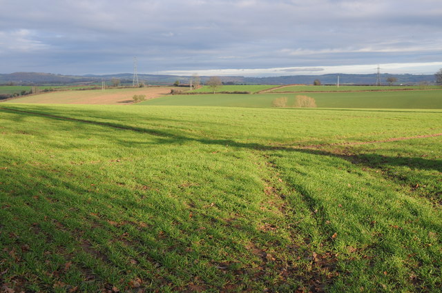
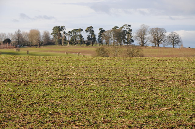
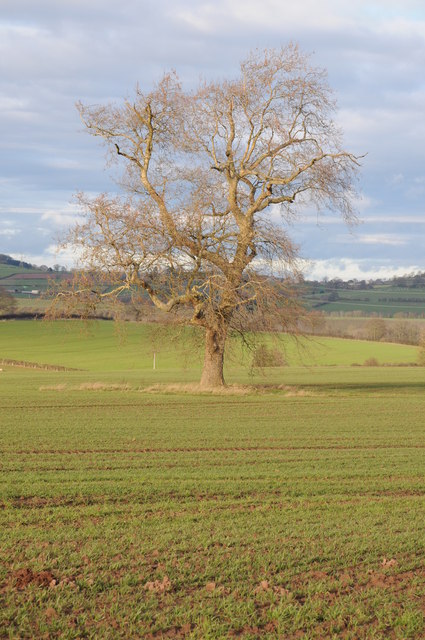
Llandinabo is a small village located in the county of Herefordshire, England. Situated approximately 10 miles northwest of the city of Hereford, Llandinabo is nestled in a picturesque rural landscape, characterized by rolling hills, meandering streams, and lush green fields.

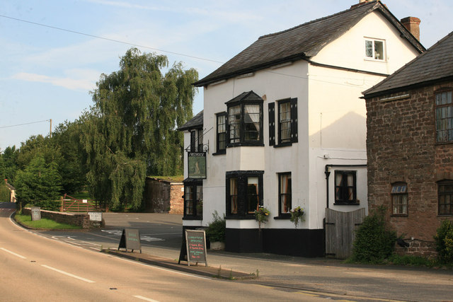
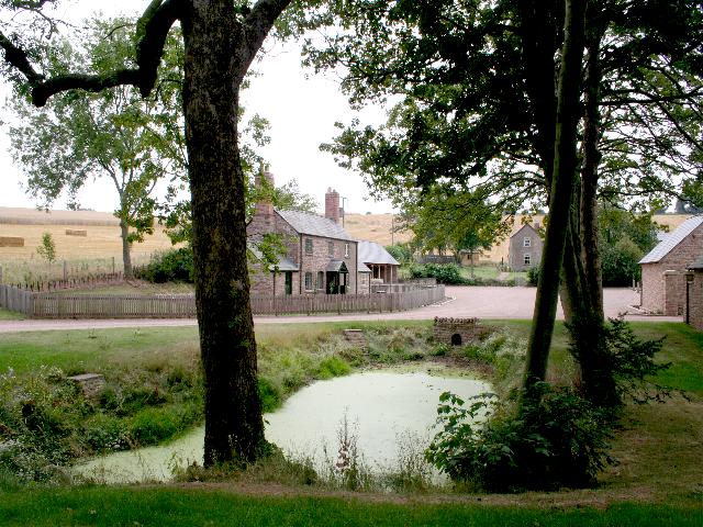
The village is home to a close-knit community, with a population of around 200 residents. It exudes a tranquil and peaceful atmosphere, making it an ideal retreat for those seeking a slower pace of life. The village is primarily residential, with a scattering of traditional stone cottages and larger houses, surrounded by well-tended gardens and scenic countryside.

Llandinabo is also known for its historic St. Dingat's Church, which dates back to the 12th century. This beautiful Grade II listed building features a striking stone tower and is adorned with intricate architectural details. The church serves as a centerpiece for community gatherings and religious ceremonies.

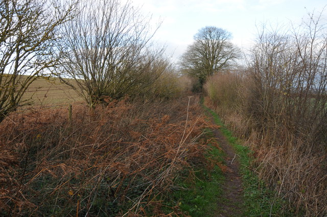
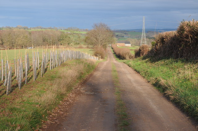
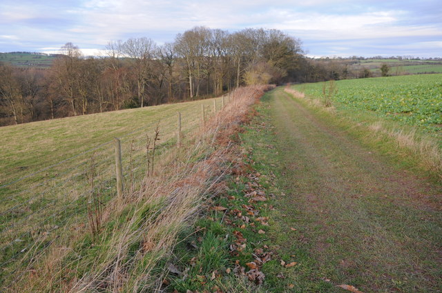
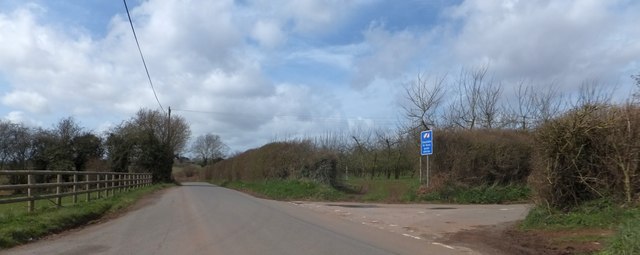
The village is surrounded by stunning natural beauty, with numerous walking trails and country lanes to explore. The nearby Herefordshire Wildlife Trust Nature Reserve offers a haven for wildlife enthusiasts and nature lovers. Visitors can enjoy spotting a variety of bird species, butterflies, and other wildlife in their natural habitat.

While Llandinabo is a quiet and peaceful village, it benefits from its proximity to larger towns and cities. Hereford, with its bustling market town atmosphere, provides residents with a range of amenities, including shops, restaurants, and leisure facilities.

In summary, Llandinabo offers a charming rural lifestyle, rich in natural beauty and community spirit. It is a place where residents can enjoy the tranquility of the countryside while remaining connected to nearby urban centers.

If you have any feedback on the listing, please let us know in the comments section below.
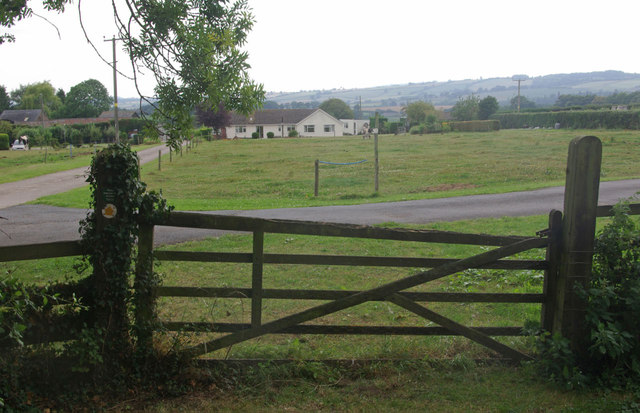
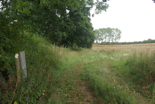
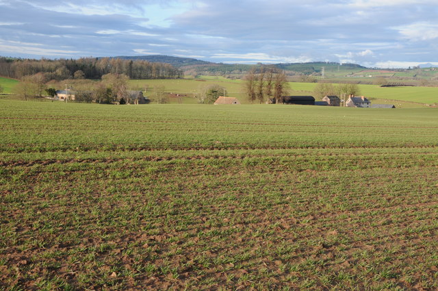
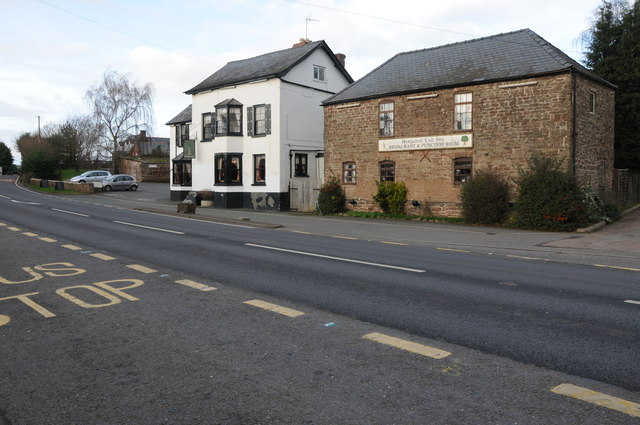
Llandinabo Images

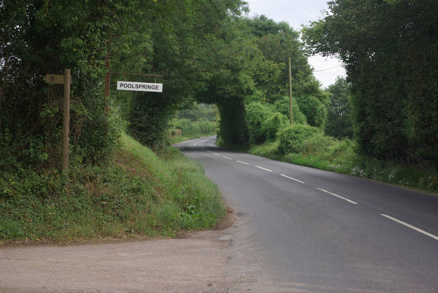
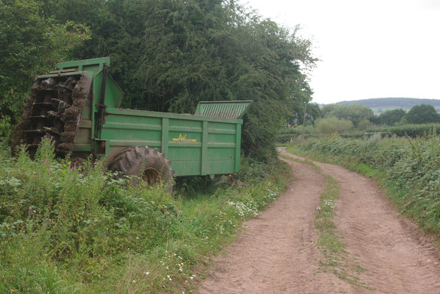
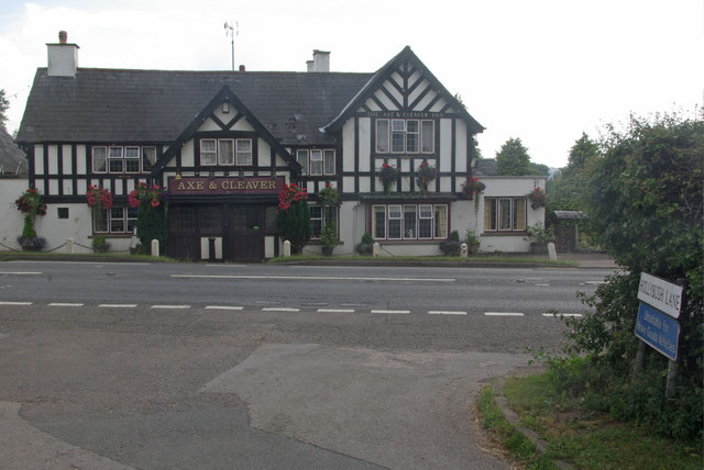
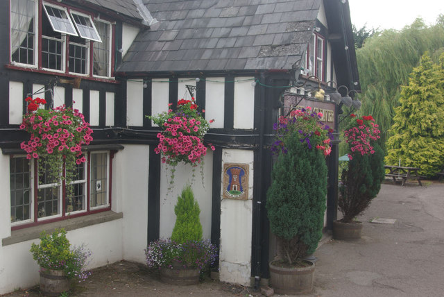
Images are sourced within 2km of 51.950339/-2.7038433 or Grid Reference SO5128. Thanks to Geograph Open Source API. All images are credited.

B4348 at Poolspringe Near the eastern end of the B4348 which runs from Hay on Wye.
B4348 at Poolspringe
Near the eastern end of the B4348 which runs from Hay on Wye.
Farm track to the B4348 The track is also a public footpath - the latter running across fields from Much Birch (and not always so easy to follow).
Farm track to the B4348
The track is also a public footpath - the latter running across fields from Much Birch (and not always so easy to follow).
The Axe & Cleaver, Much Birch A rather grand looking pub on the A49, seen here from Hollybush Lane.
The Axe & Cleaver, Much Birch
A rather grand looking pub on the A49, seen here from Hollybush Lane.
The Axe & Cleaver, Much Birch Attractive floral displays outside this pub on the A49.
The Axe & Cleaver, Much Birch
Attractive floral displays outside this pub on the A49.
Footpath to Llanwarne The footpath is not especially easy to follow, even though Herefordshire Council has provided waymarks. The path crosses the stile and then goes diagonally across the field, passing close to the bungalow.
Footpath to Llanwarne
The footpath is not especially easy to follow, even though Herefordshire Council has provided waymarks. The path crosses the stile and then goes diagonally across the field, passing close to the bungalow.
Path to Much Birch Despite the occasional waymark this footpath across the fields is not well-defined or easy to follow.
Path to Much Birch
Despite the occasional waymark this footpath across the fields is not well-defined or easy to follow.
Harewood Park and Grange Farm View from a bridleway across an arable field to Harewood Park and Grange Farm.
Harewood Park and Grange Farm
View from a bridleway across an arable field to Harewood Park and Grange Farm.
Harewood End Inn The Harewood End Inn on the A49.
Harewood End Inn
The Harewood End Inn on the A49.
Bridleway at Harewood End Bridleway from Harewood End to Hoarwithy, just north of Harewood End Inn.
Bridleway at Harewood End
Bridleway from Harewood End to Hoarwithy, just north of Harewood End Inn.
Arable land at Harewood End View across arable land at Harewood End.
Arable land at Harewood End
View across arable land at Harewood End.
View to Pengethley Hotel View to Pengethley Hotel (the white building in the distance) across arable land from a bridleway near Harewood End.
View to Pengethley Hotel
View to Pengethley Hotel (the white building in the distance) across arable land from a bridleway near Harewood End.
Arable land at Harewood End View across arable land to trees at Harewood End.
Arable land at Harewood End
View across arable land to trees at Harewood End.
Track and bridleway to Woodlands Farm Track and bridleway to Woodlands Farm at Harewood End, the bridleway goes beyond the farm and emerges at Hoarwithy.  On the left is a newly planted hedge.
Track and bridleway to Woodlands Farm
Track and bridleway to Woodlands Farm at Harewood End, the bridleway goes beyond the farm and emerges at Hoarwithy. On the left is a newly planted hedge.
New hedge, Harewood End A newly planted hedge beside a farm road at Harewood End.  There is no public right of way along this road.
New hedge, Harewood End
A newly planted hedge beside a farm road at Harewood End. There is no public right of way along this road.
Tree in an arable field A London plane tree (I think) in an arable field at Harewood End.
Tree in an arable field
A London plane tree (I think) in an arable field at Harewood End.
Bridleway to Hoarwithy Bridleway to Hoarwithy to the north of Woodlands Farm where it approaches Lower Horse Rough.
Bridleway to Hoarwithy
Bridleway to Hoarwithy to the north of Woodlands Farm where it approaches Lower Horse Rough.
Harewood End Inn on the A49
Orchard at the road for Bromley
Show me another place!

Llandinabo is located at Grid Ref: SO5128 (Lat: 51.950339, Lng: -2.7038433)

Unitary Authority: County of Herefordshire

Police Authority: West Merica

What 3 Words

///lunged.panting.booms. Near Pencoyd, Herefordshire

Nearby Locations

Llandinabo Llandinabo

Related Wikis

Llandinabo

Llandinabo is a hamlet and civil parish in Herefordshire, England, and approximately six miles north-west of Ross-on-Wye. The population of the civil parish...

Llanwarne

Llanwarne is a village and civil parish in Herefordshire, England. The population of the civil Parish as taken at the 2011 census was 380. It is about...

Harewood Park

Harewood Park is a rural estate of 900 acres (360 ha) in the civil parish of Harewood in Herefordshire, England, which has been owned by the Duchy of...

Harewood, Herefordshire

Harewood is a civil parish in Herefordshire, England. It is approximately 7 miles (11 km) south of the city and county town of Hereford and 4 miles (6...

Nearby Amenities

Located within 500m of 51.950339,-2.7038433
Bus Stop
Windmill Hill
Alt Name: Pencoyd Turn A49
Bus: yes
Naptan AltCommonName: Pencoyd Turn A49
Naptan AltStreet: Not Specified
Naptan AtcoCode: 2090A19990
Naptan Bearing: SE
Naptan CommonName: Windmill Hill
Naptan Indicator: opp Pencoyd Turn
Naptan Landmark: Pencoyd turn
Naptan NaptanCode: heramtpj
Naptan Street: A49
Naptan Verified: no
Public Transport: platform
Source: naptan_import
Lat/Long: 51.9500162/-2.7001505
Bus Stop
Windmill Hill
Alt Name: Pencoyd Turn A49
Bus: yes
Naptan AltCommonName: Pencoyd Turn A49
Naptan AltStreet: Not Specified
Naptan AtcoCode: 2090A19992
Naptan Bearing: NW
Naptan CommonName: Windmill Hill
Naptan Indicator: adj Pencoyd turn
Naptan Landmark: turn to Pencoyd
Naptan NaptanCode: heramtpm
Naptan Street: A49
Naptan Verified: no
Public Transport: platform
Source: naptan_import
Lat/Long: 51.9501297/-2.7007197
Power: pole
Source: bing
Lat/Long: 51.9478361/-2.7079582
Power: pole
Source: bing
Lat/Long: 51.9484692/-2.7092028
Power: pole
Source: bing
Lat/Long: 51.949109/-2.7104285
Generator Method: photovoltaic
Generator Output Electricity: yes
Generator Source: solar
Generator Type: solar_photovoltaic_panel
Location: roof
Power: generator
Lat/Long: 51.9525559/-2.7027601
Power: pole
Source: bing
Lat/Long: 51.945943/-2.7042353
Power: pole
Source: bing
Lat/Long: 51.9467747/-2.7058446
The data included in this document is from www.openstreetmap.org. The data is made available under ODbL.

Have you been to Llandinabo?

Leave your review of Llandinabo below (or comments, questions and feedback).