Llandinabo

Civil Parish in Herefordshire

England

Llandinabo

Farmland near Much Birch Ripening crops seen from Hollybush Lane.
Farmland near Much Birch Credit: Stephen McKay

Llandinabo is a small civil parish located in the county of Herefordshire, England. It is situated about 6 miles southeast of the city of Hereford and covers an area of approximately 4 square miles. The parish is bordered by the Wye Valley to the west and the A49 road to the east.

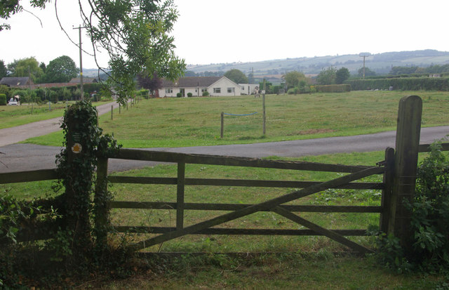
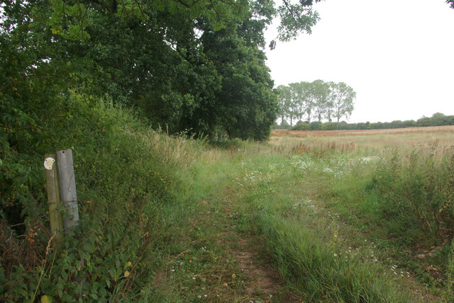
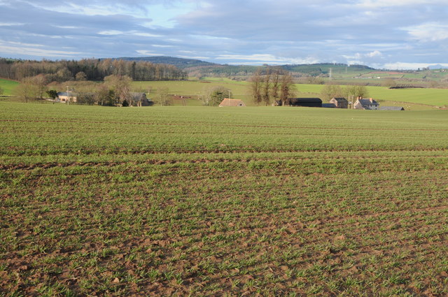
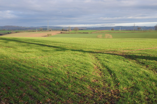
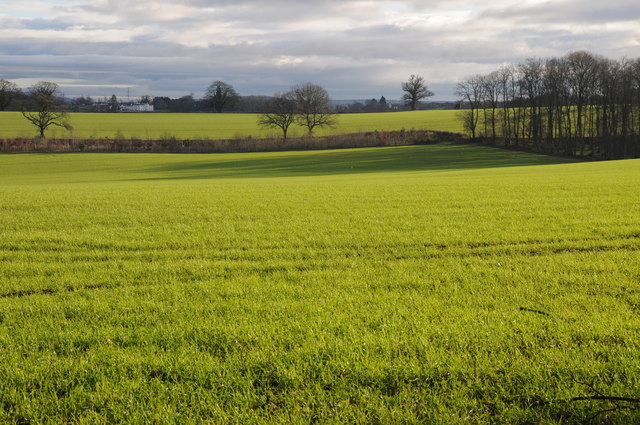
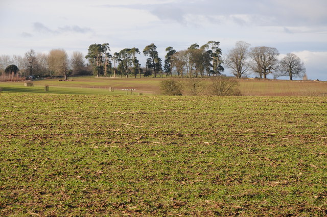
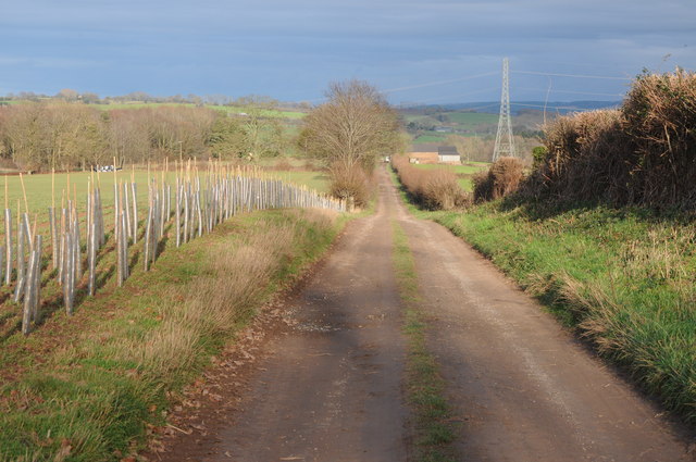
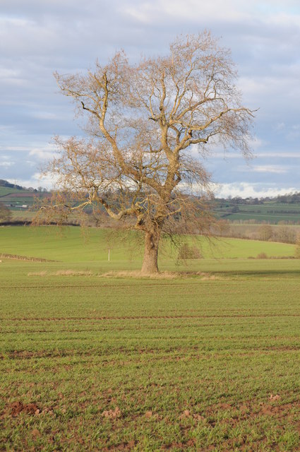
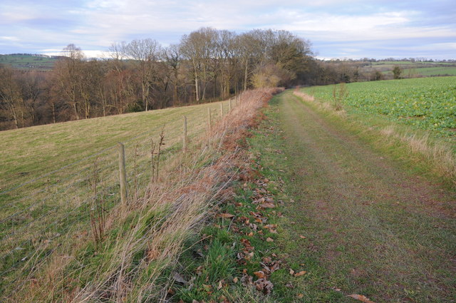
The landscape of Llandinabo is characterized by rolling hills, meadows, and farmland, with scattered woodland and hedgerows. The parish is predominantly rural, with a few scattered residential properties and farms. The population of Llandinabo is relatively small, with around 200 residents.

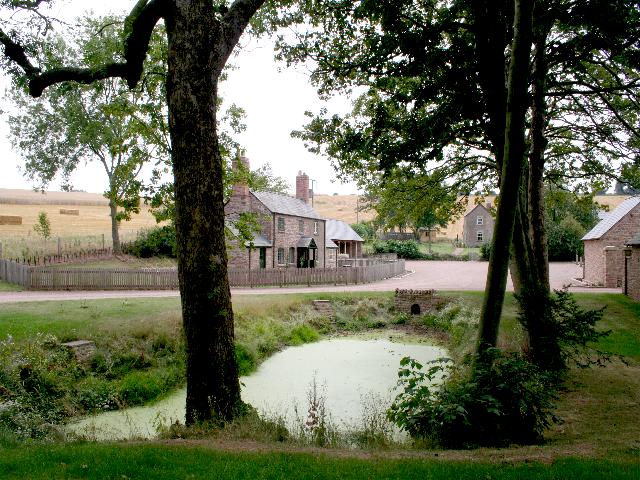
The parish is home to the Grade II listed Llandinabo House, a Georgian country house dating back to the 18th century. The house is set in beautiful parkland and is surrounded by well-maintained gardens. Llandinabo House is a private residence and is not open to the public.

The area around Llandinabo offers ample opportunities for outdoor activities such as walking, cycling, and birdwatching. The nearby Wye Valley provides stunning views and is a popular spot for nature enthusiasts. The parish is also close to the Herefordshire Trail, a long-distance footpath that passes through the county.

Llandinabo is a peaceful and picturesque civil parish that offers a tranquil countryside setting, making it an attractive place for those seeking a rural lifestyle. Its proximity to Hereford provides access to urban amenities while still enjoying the charm of a rural community.

If you have any feedback on the listing, please let us know in the comments section below.
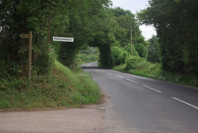
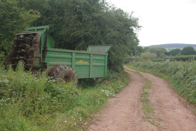
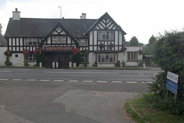
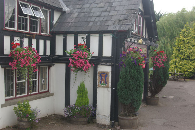
Llandinabo Images

Images are sourced within 2km of 51.954686/-2.702573 or Grid Reference SO5128. Thanks to Geograph Open Source API. All images are credited.

Farmland near Much Birch Ripening crops seen from Hollybush Lane.
Farmland near Much Birch
Ripening crops seen from Hollybush Lane.
Lane to Strickstenning Hall Narrow no through road seen from Hollybush Lane.
Lane to Strickstenning Hall
Narrow no through road seen from Hollybush Lane.
Fine specimen oak Tree by the minor lane from New Mills Farm to Little Dewchurch.
Fine specimen oak
Tree by the minor lane from New Mills Farm to Little Dewchurch.
A49 near Treberva Farm
B4348 at Poolspringe Near the eastern end of the B4348 which runs from Hay on Wye.
B4348 at Poolspringe
Near the eastern end of the B4348 which runs from Hay on Wye.
Farm track to the B4348 The track is also a public footpath - the latter running across fields from Much Birch (and not always so easy to follow).
Farm track to the B4348
The track is also a public footpath - the latter running across fields from Much Birch (and not always so easy to follow).
The Axe & Cleaver, Much Birch A rather grand looking pub on the A49, seen here from Hollybush Lane.
The Axe & Cleaver, Much Birch
A rather grand looking pub on the A49, seen here from Hollybush Lane.
The Axe & Cleaver, Much Birch Attractive floral displays outside this pub on the A49.
The Axe & Cleaver, Much Birch
Attractive floral displays outside this pub on the A49.
Footpath to Llanwarne The footpath is not especially easy to follow, even though Herefordshire Council has provided waymarks. The path crosses the stile and then goes diagonally across the field, passing close to the bungalow.
Footpath to Llanwarne
The footpath is not especially easy to follow, even though Herefordshire Council has provided waymarks. The path crosses the stile and then goes diagonally across the field, passing close to the bungalow.
Path to Much Birch Despite the occasional waymark this footpath across the fields is not well-defined or easy to follow.
Path to Much Birch
Despite the occasional waymark this footpath across the fields is not well-defined or easy to follow.
Harewood Park and Grange Farm View from a bridleway across an arable field to Harewood Park and Grange Farm.
Harewood Park and Grange Farm
View from a bridleway across an arable field to Harewood Park and Grange Farm.
Arable land at Harewood End View across arable land at Harewood End.
Arable land at Harewood End
View across arable land at Harewood End.
View to Pengethley Hotel View to Pengethley Hotel (the white building in the distance) across arable land from a bridleway near Harewood End.
View to Pengethley Hotel
View to Pengethley Hotel (the white building in the distance) across arable land from a bridleway near Harewood End.
Arable land at Harewood End View across arable land to trees at Harewood End.
Arable land at Harewood End
View across arable land to trees at Harewood End.
Track and bridleway to Woodlands Farm Track and bridleway to Woodlands Farm at Harewood End, the bridleway goes beyond the farm and emerges at Hoarwithy.  On the left is a newly planted hedge.
Track and bridleway to Woodlands Farm
Track and bridleway to Woodlands Farm at Harewood End, the bridleway goes beyond the farm and emerges at Hoarwithy. On the left is a newly planted hedge.
New hedge, Harewood End A newly planted hedge beside a farm road at Harewood End.  There is no public right of way along this road.
New hedge, Harewood End
A newly planted hedge beside a farm road at Harewood End. There is no public right of way along this road.
Tree in an arable field A London plane tree (I think) in an arable field at Harewood End.
Tree in an arable field
A London plane tree (I think) in an arable field at Harewood End.
Bridleway to Hoarwithy Bridleway to Hoarwithy to the north of Woodlands Farm where it approaches Lower Horse Rough.
Bridleway to Hoarwithy
Bridleway to Hoarwithy to the north of Woodlands Farm where it approaches Lower Horse Rough.
Show me another place!

Llandinabo is located at Grid Ref: SO5128 (Lat: 51.954686, Lng: -2.702573)

Unitary Authority: County of Herefordshire

Police Authority: West Mercia

What 3 Words

///suiting.crows.dome. Near Pencoyd, Herefordshire

Nearby Locations

Llandinabo Llandinabo

Related Wikis

Llandinabo

Llandinabo is a hamlet and civil parish in Herefordshire, England, and approximately six miles north-west of Ross-on-Wye. The population of the civil parish...

Llanwarne

Llanwarne is a village and civil parish in Herefordshire, England. The population of the civil Parish as taken at the 2011 census was 380. It is about...

Harewood Park

Harewood Park is a rural estate of 900 acres (360 ha) in the civil parish of Harewood in Herefordshire, England, which has been owned by the Duchy of...

Harewood, Herefordshire

Harewood is a civil parish in Herefordshire, England. It is approximately 7 miles (11 km) south of the city and county town of Hereford and 4 miles (6...

Nearby Amenities

Located within 500m of 51.954686,-2.702573
Bus Stop
Laskett Lane
Alt Name: Hoarwithy Turn. A49;Hoarwithy Turn. A49;Llanwarne Turn. A49
Naptan AltCommonName: Hoarwithy Turn. A49;Llanwarne Turn. A49
Naptan AltStreet: Not Specified;Not Specified
Naptan AtcoCode: 2090A19986
Naptan Bearing: S
Naptan CommonName: Laskett Lane
Naptan Indicator: adj
Naptan Landmark: Cross Roads
Naptan NaptanCode: heramtpd
Naptan Street: A49
Naptan Verified: no
Source: naptan_import
Lat/Long: 51.9578724/-2.7065161
Generator Method: photovoltaic
Generator Output Electricity: yes
Generator Source: solar
Generator Type: solar_photovoltaic_panel
Location: roof
Power: generator
Lat/Long: 51.9525559/-2.7027601
The data included in this document is from www.openstreetmap.org. The data is made available under ODbL.

Have you been to Llandinabo?

Leave your review of Llandinabo below (or comments, questions and feedback).