Llanddinog
Settlement in Pembrokeshire
Wales
Llanddinog
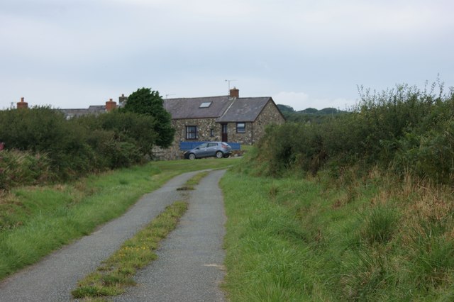
Llanddinog is a small village located in the county of Pembrokeshire, Wales. Situated in the southwestern part of the country, it is nestled between the coastal town of Fishguard and the village of Letterston. Llanddinog is known for its picturesque surroundings and tranquil atmosphere.
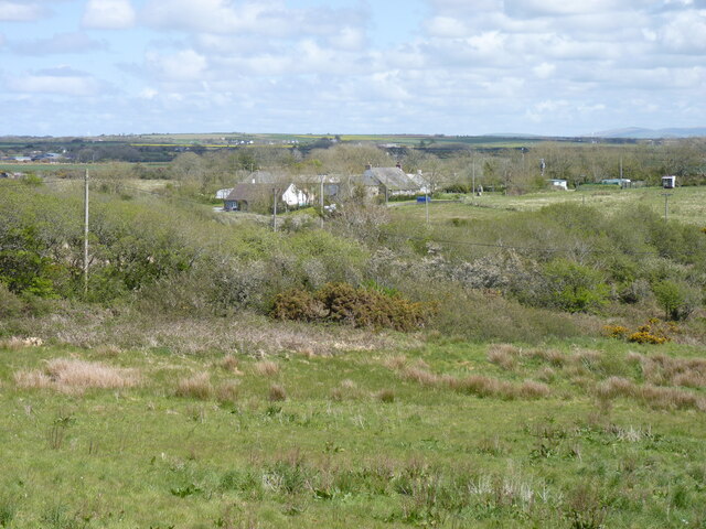
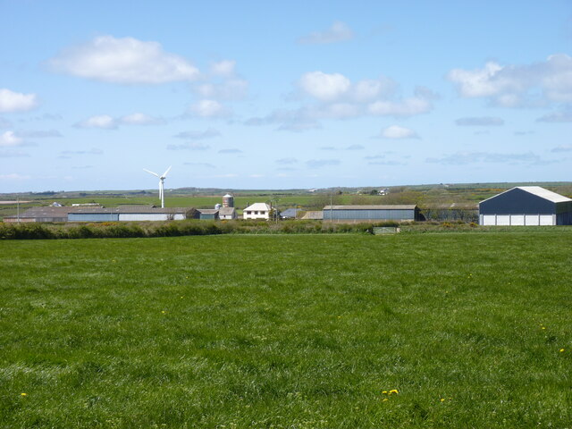
The village is home to a close-knit community of approximately 300 residents. Llanddinog features a mix of traditional Welsh stone cottages and modern houses, adding to its charm. The local economy is primarily reliant on agriculture, with farming being a prominent activity in the area.
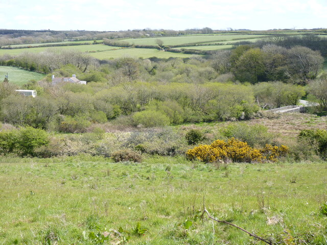
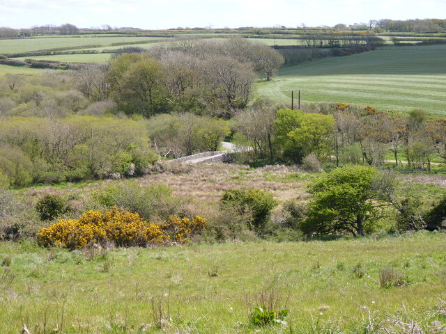
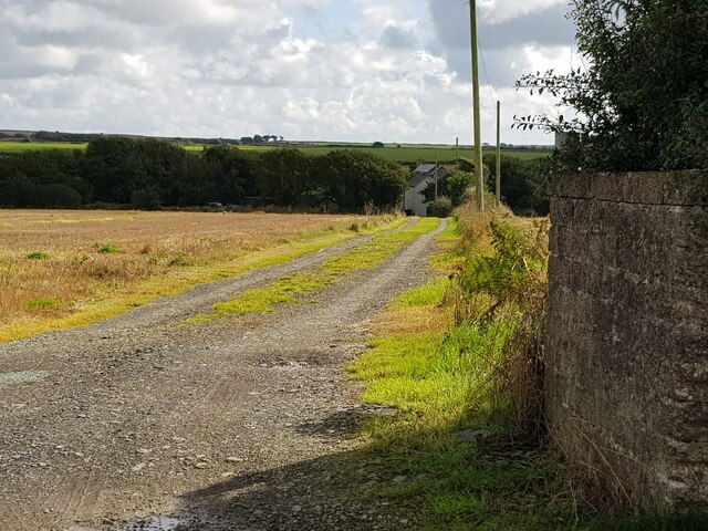
Llanddinog is surrounded by stunning natural beauty, with rolling hills and valleys that provide breathtaking views. The village is also in close proximity to the Pembrokeshire Coast National Park, a renowned area of outstanding natural beauty, which attracts tourists from far and wide.
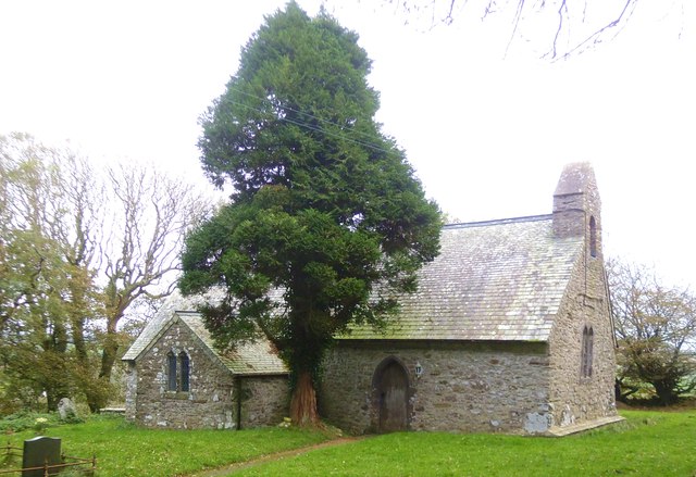
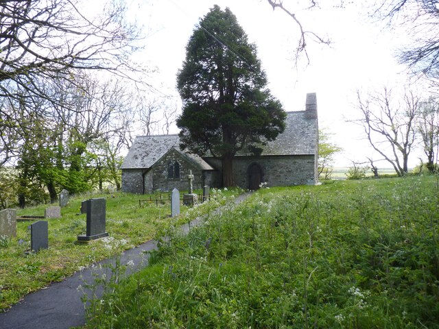
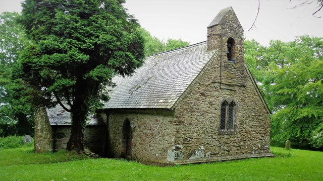
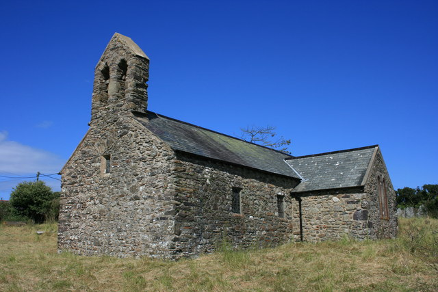
The village has a small primary school, providing education to the local children. There is also a church, St. Dinog's Church, which dates back to the 12th century and is a popular site for visitors interested in historical architecture.
For amenities, residents have access to a local convenience store, ensuring they have easy access to daily necessities. Llanddinog is well-connected to the surrounding areas by road, making it convenient for residents to access larger towns and cities for additional services and facilities.
Overall, Llanddinog offers a peaceful and idyllic setting for both residents and visitors, with its natural beauty and close community spirit making it a desirable place to live or explore.
If you have any feedback on the listing, please let us know in the comments section below.
Llanddinog Images
Images are sourced within 2km of 51.899998/-5.1531792 or Grid Reference SM8327. Thanks to Geograph Open Source API. All images are credited.
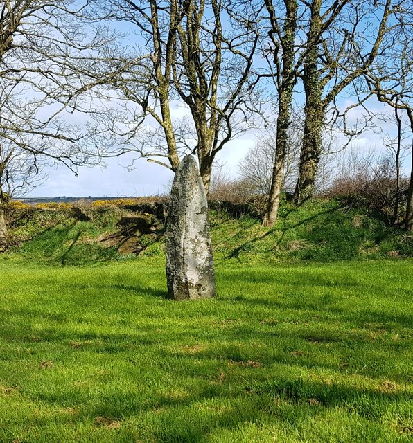
![Standing stone, Tremaenhir The OS map shows 'standing stones' here, but a quick search revealed only this one. The settlement name would suggest an ancient site associated with the stones, as it appears to translate as the settlement [town] of the long stones.](https://s0.geograph.org.uk/geophotos/03/21/31/3213116_c6699583.jpg)
Llanddinog is located at Grid Ref: SM8327 (Lat: 51.899998, Lng: -5.1531792)
Unitary Authority: Pembrokeshire
Police Authority: Dyfed Powys
What 3 Words
///gravel.condense.weds. Near Llanrhian, Pembrokeshire
Nearby Locations
Related Wikis

Treffynnon, Pembrokeshire
Treffynnon (Welsh: tref - town + ffynnon - spring, well) is a hamlet of about twenty houses located between St Davids and Fishguard, about a mile inland...

Croes-goch
Croes-goch (also spelled Croesgoch) is a village in North Pembrokeshire, West Wales. It is situated on the A487 between Fishguard and St David's. It lies...
St Teilo's Church, Llandeloy
St Teilo's Church, Llandeloy, is a redundant church in the village of Llandeloy, Pembrokeshire, Wales, dedicated to Saint Teilo. It has been designated...

Cawdor Barracks
Cawdor Barracks is a British Army installation located 6.3 miles (10.1 km) east of St Davids, Pembrokeshire and 9.8 miles (15.8 km) south west of Fishguard...

RAF Brawdy
Royal Air Force Brawdy, or more simply RAF Brawdy, is a former Royal Air Force satellite station located 6.3 miles (10.1 km) east of St Davids, Pembrokeshire...

Middle Mill
Middle Mill (Welsh: Felinganol) is a small settlement on the River Solva in the parish of Whitchurch, Pembrokeshire, Wales, approximately 1 mile upstream...

Solva Woollen Mill
Solva Woollen Mill is a woollen mill in the village of Middle Mill, about one mile from Solva, Pembrokeshire, Wales, that has been in operation since 1907...

Llandeloy
Llandeloy (Welsh: Llan-lwy) is a small village and parish in Pembrokeshire, South West Wales. Together with the parishes of Brawdy and Llanreithan, it...
Nearby Amenities
Located within 500m of 51.899998,-5.1531792Have you been to Llanddinog?
Leave your review of Llanddinog below (or comments, questions and feedback).