Llanddeusant

Settlement in Carmarthenshire

Wales

Llanddeusant

Enclosed stony track leading down to Gellygron, Llandeusant
Enclosed stony track leading down to Gellygron, Llandeusant Credit: Colin Park

The requested URL returned error: 429 Too Many Requests

If you have any feedback on the listing, please let us know in the comments section below.
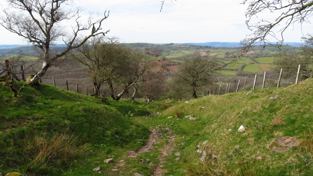
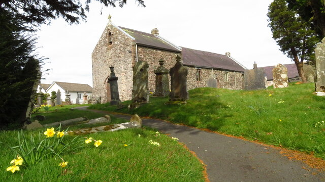
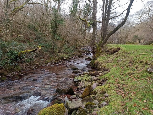
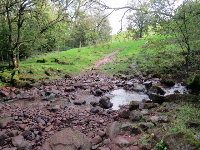
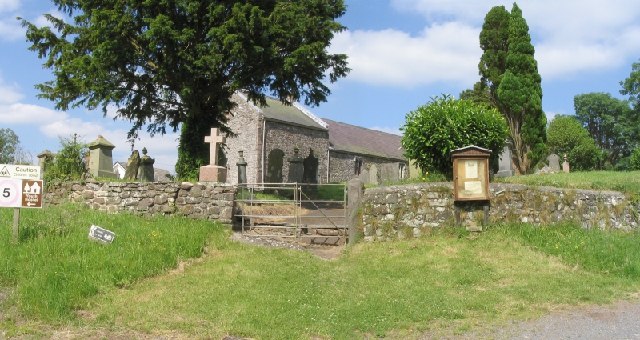
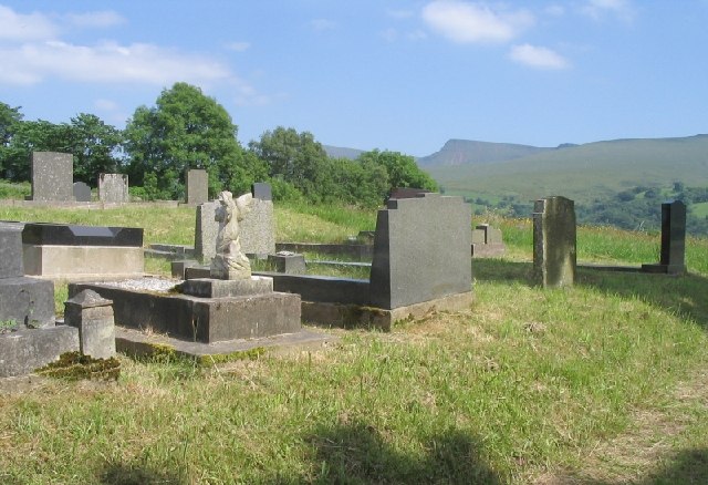
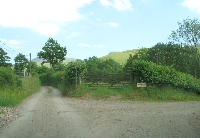
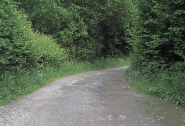
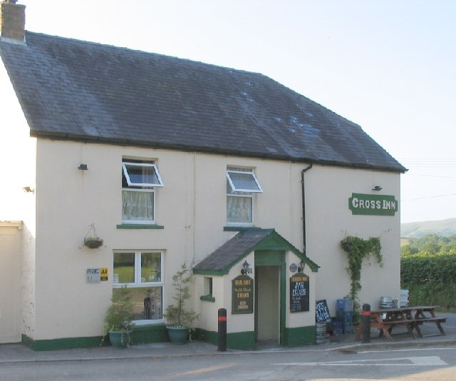
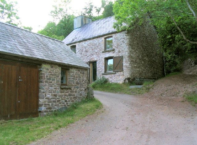
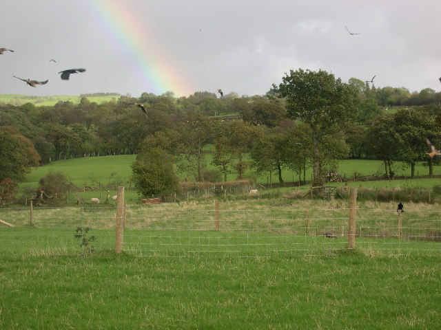
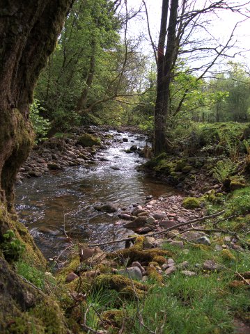
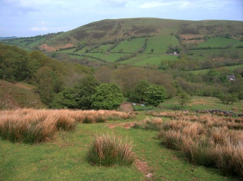
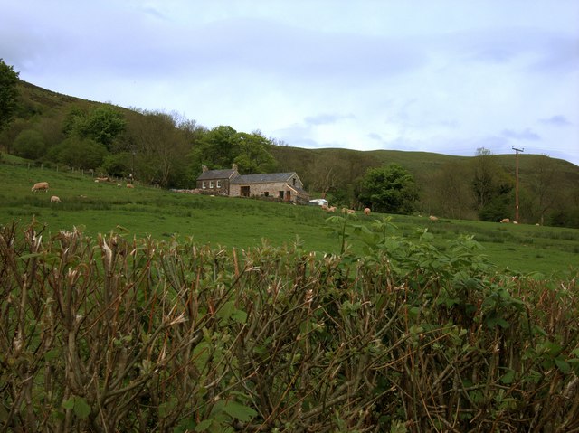
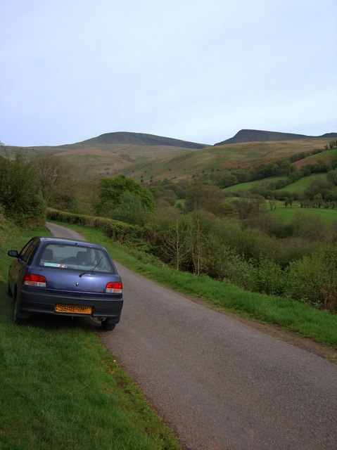
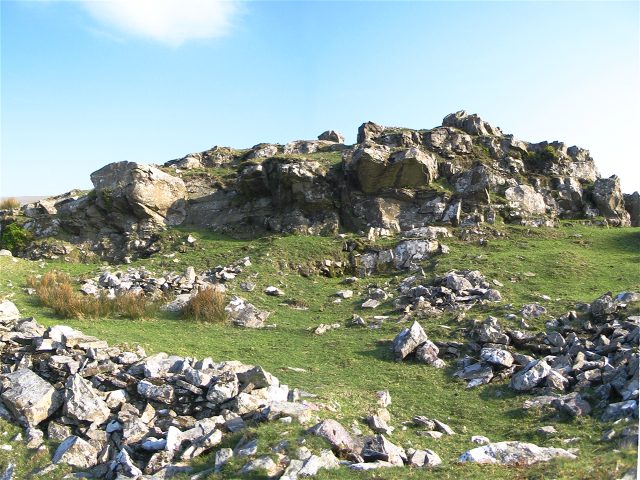
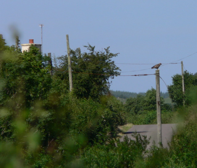
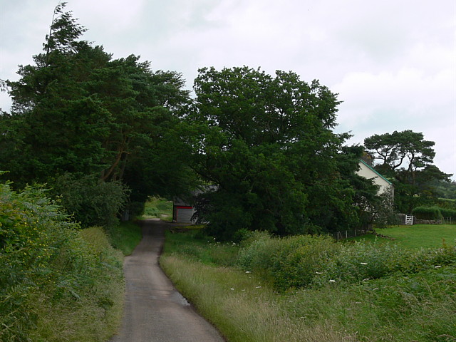
Llanddeusant Images

Images are sourced within 2km of 51.906309/-3.7792436 or Grid Reference SN7724. Thanks to Geograph Open Source API. All images are credited.

Enclosed stony track leading down to Gellygron, Llandeusant
Llandeusant Church (Black Mountain)
Afon Sawdde
Afon Sawdde
Rhydio Garnant / Fording Garnant Llwybr i'r mynydd yn rhydio Garnant < Garwnant.  Gerllaw y safai bwthyn o'r un enw a fu'n gartref i Dafydd Wyn a'i deulu. Bugail y mynydd oedd Dafydd ac fe'i hanfarwolwyd ef mewn cerdd gan Thomas Twynog Jeffreys (1844-1911), brodor o'r plwyf.  

A path to the mountain fords Garnant < Garwnant (trans. rough stream). Nearby stood a cottage of the same name where shepherd Dafydd Wyn and his family resided and were immortalised in a poem by Thomas Twynog Jeffreys (1844-1911), a native of the parish.
Rhydio Garnant / Fording Garnant
Llwybr i'r mynydd yn rhydio Garnant < Garwnant. Gerllaw y safai bwthyn o'r un enw a fu'n gartref i Dafydd Wyn a'i deulu. Bugail y mynydd oedd Dafydd ac fe'i hanfarwolwyd ef mewn cerdd gan Thomas Twynog Jeffreys (1844-1911), brodor o'r plwyf. A path to the mountain fords Garnant < Garwnant (trans. rough stream). Nearby stood a cottage of the same name where shepherd Dafydd Wyn and his family resided and were immortalised in a poem by Thomas Twynog Jeffreys (1844-1911), a native of the parish.
Llanddeusant Church There is a youth hostel close to the church.
Llanddeusant Church
There is a youth hostel close to the church.
Llanddeusant Graveyard This graveyard is across the road from the church. On this side of the road you can be buried in the shadow of the Carmarthen Fans.
Llanddeusant Graveyard
This graveyard is across the road from the church. On this side of the road you can be buried in the shadow of the Carmarthen Fans.
Junction leading to Llyn-y-Fan Fach This is what separates the brave driver from the amateur tourist. Don&amp;#039;t stay on the road to the right. That just goes to a farm. Visitors to the lake must face the track straight ahead.
Junction leading to Llyn-y-Fan Fach
This is what separates the brave driver from the amateur tourist. Don't stay on the road to the right. That just goes to a farm. Visitors to the lake must face the track straight ahead.
Lane to car park below Llyn-y-Fan Fach This narrow, loose, stony, pot-holed lane is passable in any car, but you&amp;#039;ll never get out of first gear.
Lane to car park below Llyn-y-Fan Fach
This narrow, loose, stony, pot-holed lane is passable in any car, but you'll never get out of first gear.
Cross Inn A pub on the road from Twynllanan to Trecastle.
Cross Inn
A pub on the road from Twynllanan to Trecastle.
Buildings on the road from Llanddeusant to Cross Inn On an unforgivingly windy, steep and narrow road from Llanddeusant to Cross Inn lie a couple of houses. Feels like a long way from anywhere.
Buildings on the road from Llanddeusant to Cross Inn
On an unforgivingly windy, steep and narrow road from Llanddeusant to Cross Inn lie a couple of houses. Feels like a long way from anywhere.
Red Kites Feeding at Llanddeusant
Afon Sychlwch The river is fed by many streams originating below the Bannau Sir Gaer ridge.  There are plenty of round boulders in this area, indicating that an ice-age glacier ended near here.
Afon Sychlwch
The river is fed by many streams originating below the Bannau Sir Gaer ridge. There are plenty of round boulders in this area, indicating that an ice-age glacier ended near here.
Woods near the Afon Sychlwch Looking down from Cefn Nant Lygos, the slope leading up to the western end of the Bannau Sir Gaer ridge.  The river is hidden among the trees at the base of the slope.
Woods near the Afon Sychlwch
Looking down from Cefn Nant Lygos, the slope leading up to the western end of the Bannau Sir Gaer ridge. The river is hidden among the trees at the base of the slope.
Gelli-onen farmhouse Farm building at the end of the public part of the road from Llanddeusant to Llyn y Fan Fach.
Gelli-onen farmhouse
Farm building at the end of the public part of the road from Llanddeusant to Llyn y Fan Fach.
Sawdde Valley Near the end of the public part of the access road from Llanddeusant to Llyn y Fan Fach.  The Afon Sawdde is dug in deep to the south (right in the picture) of the road, with plenty of deciduous trees growing along its banks.  Apart from the trench in which the river flows, the square is mostly enclosed grazing land, with a little commons in the higher NE corner.  The mountains in the background are the Bannau Sir Gaer 4km SE.
Sawdde Valley
Near the end of the public part of the access road from Llanddeusant to Llyn y Fan Fach. The Afon Sawdde is dug in deep to the south (right in the picture) of the road, with plenty of deciduous trees growing along its banks. Apart from the trench in which the river flows, the square is mostly enclosed grazing land, with a little commons in the higher NE corner. The mountains in the background are the Bannau Sir Gaer 4km SE.
Garn Fawr Stones One of two adjacent rocky outcrops on an otherwise rolling grassy mountain.
Garn Fawr Stones
One of two adjacent rocky outcrops on an otherwise rolling grassy mountain.
Blaen-cwm Twynllanan to Trecastle road. Chimney Belongs to Blaen-cwm. ( shown on 1:25000o/s)
Blaen-cwm
Twynllanan to Trecastle road. Chimney Belongs to Blaen-cwm. ( shown on 1:25000o/s)
Country Lane Near Cross Inn
Country Lane
Near Cross Inn
Show me another place!

Llanddeusant is located at Grid Ref: SN7724 (Lat: 51.906309, Lng: -3.7792436)

Unitary Authority: Carmarthenshire

Police Authority: Dyfed Powys

What 3 Words

///pens.football.adhesive. Near Llanddeusant, Carmarthenshire

Related Wikis

Llanddeusant, Carmarthenshire

Llanddeusant () is a community in the Black Mountain Range of the Brecon Beacons National Park in Carmarthenshire, Wales. It is about 5 miles southeast...

Cae Maes-y-ffynnon

Cae Maes-y-ffynnon is a wet unimproved pasture that is a Site of Special Scientific Interest in Carmarthen & Dinefwr, Wales. == See also == List of Sites...

Waun Lefrith

Waun Lefrith is a top of Picws Du and is also the westernmost of the Carmarthen Fans (Welsh: Bannau Sir Gaer), a group of peaks within the Black Mountain...
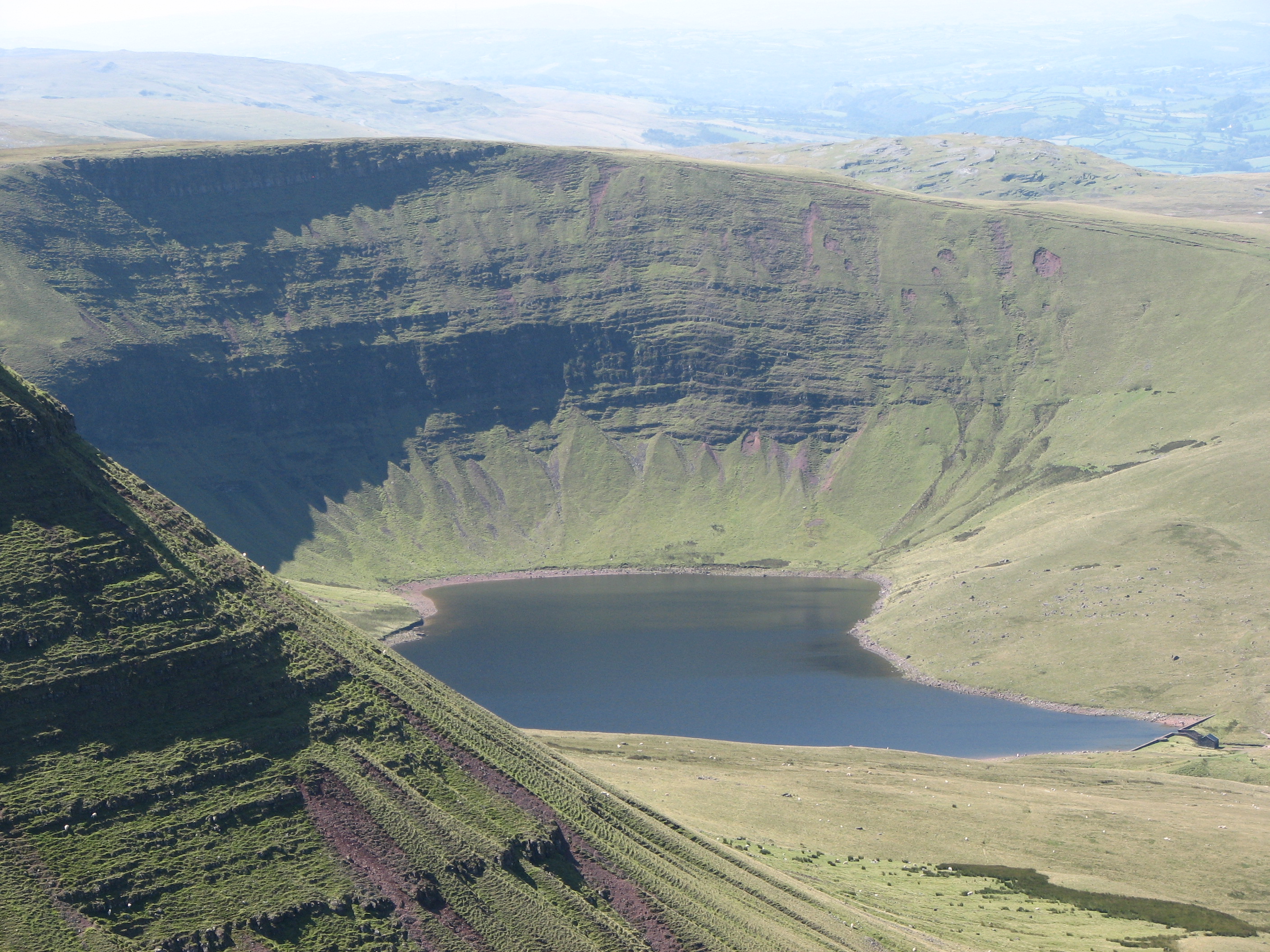
Llyn y Fan Fach

Llyn y Fan Fach (Welsh meaning "little lake (near) the peak") is a lake of approximately 10 hectares (25 acres) on the northern margin of the Black Mountain...

Nearby Amenities

Located within 500m of 51.906309,-3.7792436
Llanddeusant
Place: village
Source: NPE
Lat/Long: 51.9059836/-3.779442
Building: yes
Lat/Long: 51.9036648/-3.7842824
The data included in this document is from www.openstreetmap.org. The data is made available under ODbL.

Have you been to Llanddeusant?

Leave your review of Llanddeusant below (or comments, questions and feedback).