Coed Cwmceunant
Wood, Forest in Carmarthenshire
Wales
Coed Cwmceunant
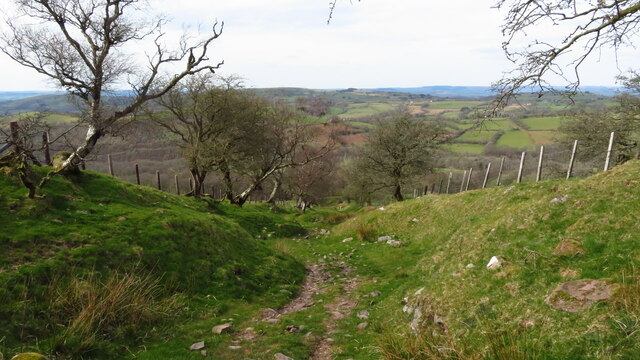
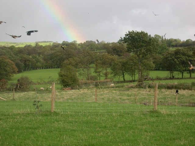
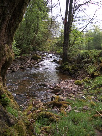
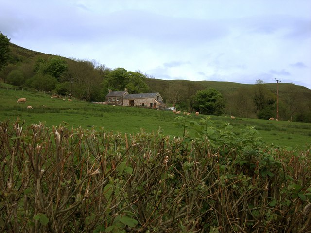
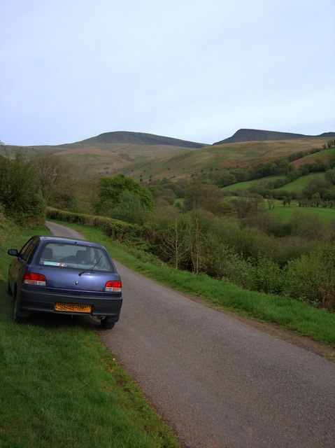
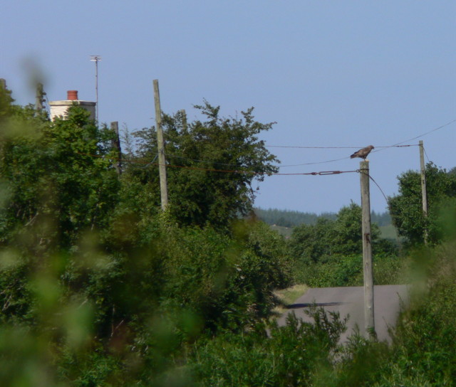
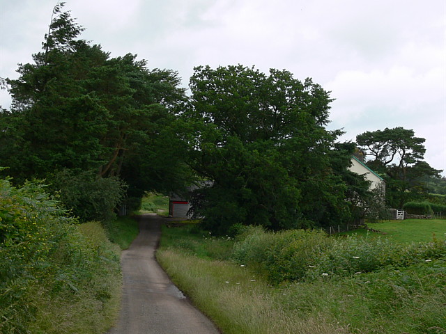
Coed Cwmceunant is a picturesque wood located in Carmarthenshire, Wales. Situated in the heart of the countryside, this ancient forest covers an area of approximately 100 hectares. The woodland is renowned for its scenic beauty and is a popular destination for nature lovers and hiking enthusiasts.
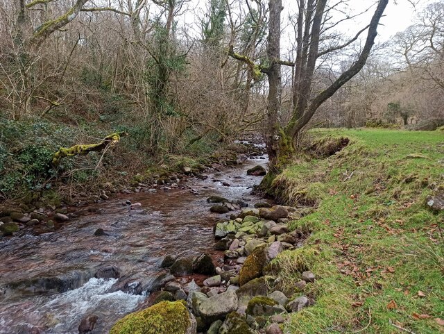
Coed Cwmceunant is characterized by its diverse range of plant and animal species. The forest is home to an array of native trees, including oak, beech, and ash, which form a dense canopy overhead. The forest floor is carpeted with a rich variety of wildflowers, creating a vibrant and colorful landscape during the spring and summer months.
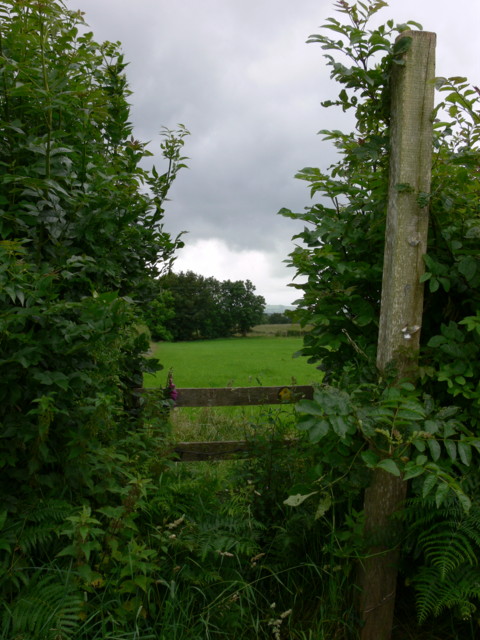
The woodland is crisscrossed by a network of well-maintained footpaths and trails, making it an ideal location for walkers and nature enthusiasts to explore. The paths meander through the forest, offering breathtaking views of the surrounding countryside and glimpses of the wildlife that calls this place home.
In addition to its natural beauty, Coed Cwmceunant also holds historical significance. The wood is said to have been used as a hiding place during medieval times and remnants of ancient structures can still be seen today.
Visitors to Coed Cwmceunant can enjoy a peaceful and tranquil atmosphere, far away from the hustle and bustle of city life. Whether it's a leisurely stroll, birdwatching, or simply taking in the beauty of nature, Coed Cwmceunant offers something for everyone seeking a connection with the great outdoors.
If you have any feedback on the listing, please let us know in the comments section below.
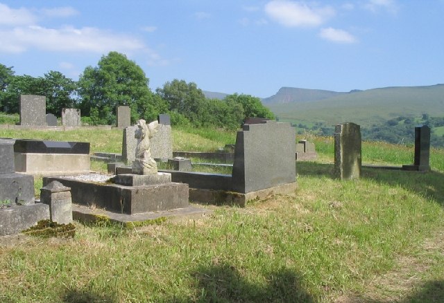
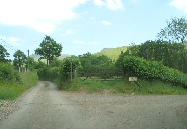
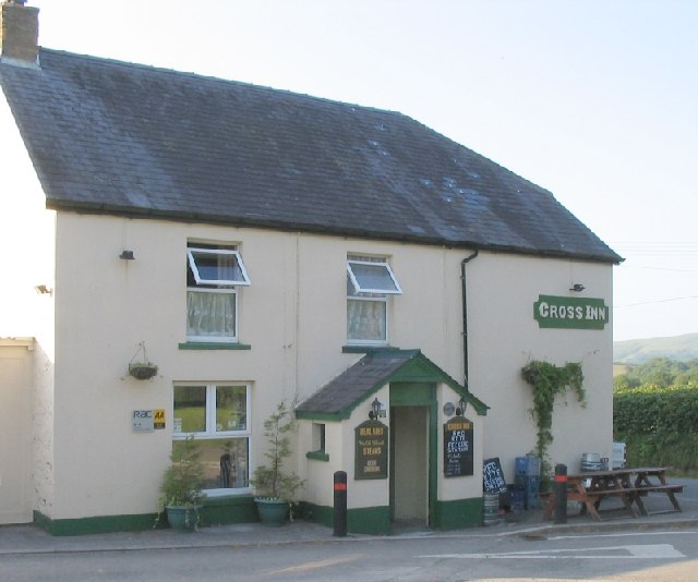
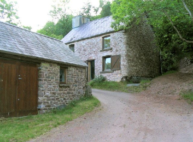
Coed Cwmceunant Images
Images are sourced within 2km of 51.909988/-3.7821223 or Grid Reference SN7724. Thanks to Geograph Open Source API. All images are credited.


Coed Cwmceunant is located at Grid Ref: SN7724 (Lat: 51.909988, Lng: -3.7821223)
Unitary Authority: Carmarthenshire
Police Authority: Dyfed Powys
What 3 Words
///pockets.crumb.misted. Near Llanddeusant, Carmarthenshire
Nearby Locations
Related Wikis

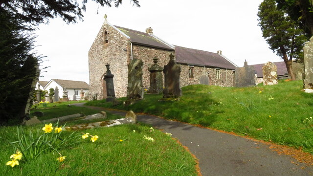
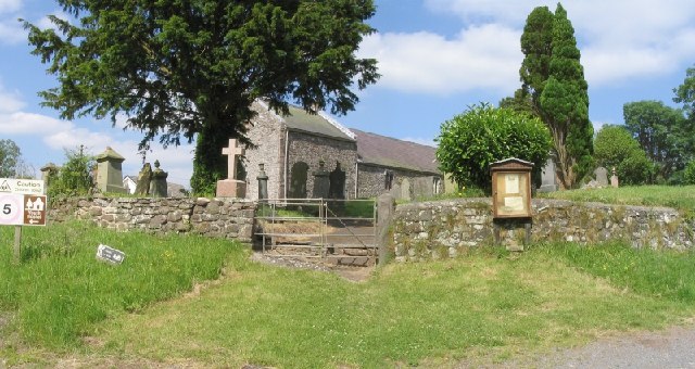
Llanddeusant, Carmarthenshire
Llanddeusant () is a community in the Black Mountain Range of the Brecon Beacons National Park in Carmarthenshire, Wales. It is about 5 miles southeast...
Cae Maes-y-ffynnon
Cae Maes-y-ffynnon is a wet unimproved pasture that is a Site of Special Scientific Interest in Carmarthen & Dinefwr, Wales. == See also == List of Sites...

Waun Lefrith
Waun Lefrith is a top of Picws Du and is also the westernmost of the Carmarthen Fans (Welsh: Bannau Sir Gaer), a group of peaks within the Black Mountain...
Mandinam a Coed Deri
Mandinam a Coed Deri is an area of woodland and pasture that is a Site of Special Scientific Interest in Carmarthen & Dinefwr, Wales. == See also == List...
Nearby Amenities
Located within 500m of 51.909988,-3.7821223Have you been to Coed Cwmceunant?
Leave your review of Coed Cwmceunant below (or comments, questions and feedback).