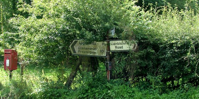
Llanbister Road

Settlement in Radnorshire

Wales

Llanbister Road

Park Farm
Park Farm Credit: Richard Webb

The requested URL returned error: 429 Too Many Requests

If you have any feedback on the listing, please let us know in the comments section below.

Llanbister Road Images

Images are sourced within 2km of 52.335993/-3.2124402 or Grid Reference SO1771. Thanks to Geograph Open Source API. All images are credited.
Park Farm
Park Farm
Road, Coxhead Bank Common
Road junction, Coxhead Bank Common The ground is very dry.
Road junction, Coxhead Bank Common
The ground is very dry.
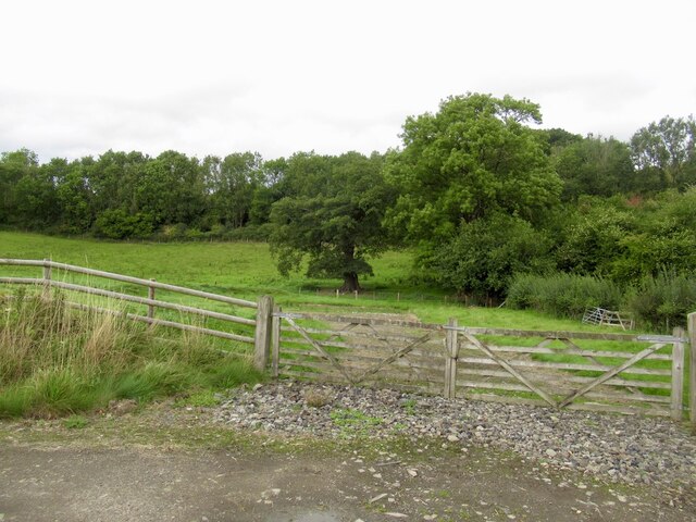
Edge of Coxhead Bank Common
Sheep, Coxhead Bank Common
Between road and railway The trees hide that survivor, the Central Wales railway.
Between road and railway
The trees hide that survivor, the Central Wales railway.
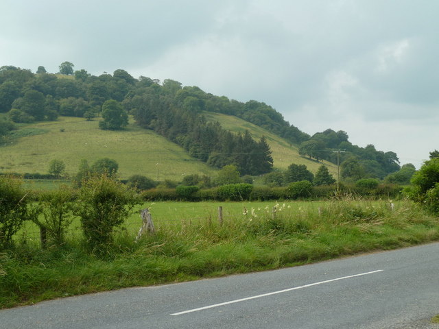
Road, valley floor, and hillside By the B4356, east of the railway bridge.  The plantation on the hillside in the next square southwest is clear on the map.
Road, valley floor, and hillside
By the B4356, east of the railway bridge. The plantation on the hillside in the next square southwest is clear on the map.
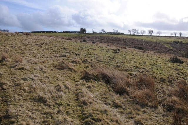
Coxhead Bank Common Wintertime on Coxhead Bank Common with the bracken having died back.
Coxhead Bank Common
Wintertime on Coxhead Bank Common with the bracken having died back.
View to The Bank View to The Bank across Coxhead Bank Common.
View to The Bank
View to The Bank across Coxhead Bank Common.
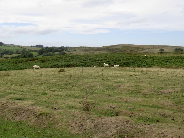
Coxhead Bank Common Upland grazing on Coxhead Bank Common.
Coxhead Bank Common
Upland grazing on Coxhead Bank Common.
View south over Coxhead Bank Common Upland grazing on Coxhead Bank Common.
View south over Coxhead Bank Common
Upland grazing on Coxhead Bank Common.
Road across Coxhead Bank Common Country road crossing Coxhead Bank Common an area of upland grazing land about 1,000ft above sea level.
Road across Coxhead Bank Common
Country road crossing Coxhead Bank Common an area of upland grazing land about 1,000ft above sea level.
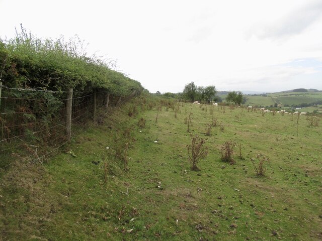
Farmland and Coxhead Bank Common View across Coxhead Bank Common to enclosed farmland near Park Farm which ca be seen on the right.
Farmland and Coxhead Bank Common
View across Coxhead Bank Common to enclosed farmland near Park Farm which ca be seen on the right.
Train departing Llanbister Road station The Swansea bound train leaving Llanbister Road station on the Heart of Wales line, May Bank holiday, 2014
Train departing Llanbister Road station
The Swansea bound train leaving Llanbister Road station on the Heart of Wales line, May Bank holiday, 2014
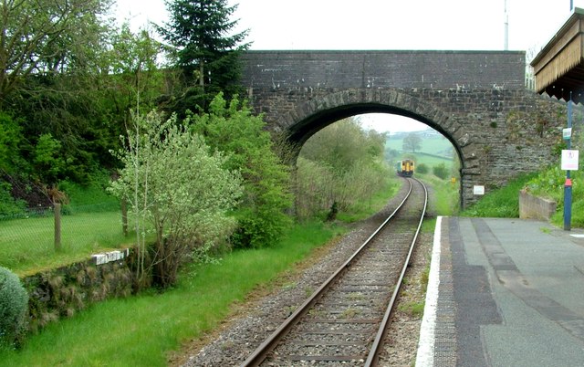
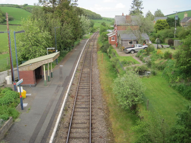
Llanbister Road railway station, Powys Opened in 1867 by the Central Wales Railway on what became today's line from Swansea to Craven Arms and Shrewsbury.
View north east towards Llangynllo and Craven Arms. The disused platform to the right is the former southbound platform, which has had that delightful pond for around 40 years.
Llanbister Road railway station, Powys
Opened in 1867 by the Central Wales Railway on what became today's line from Swansea to Craven Arms and Shrewsbury. View north east towards Llangynllo and Craven Arms. The disused platform to the right is the former southbound platform, which has had that delightful pond for around 40 years.
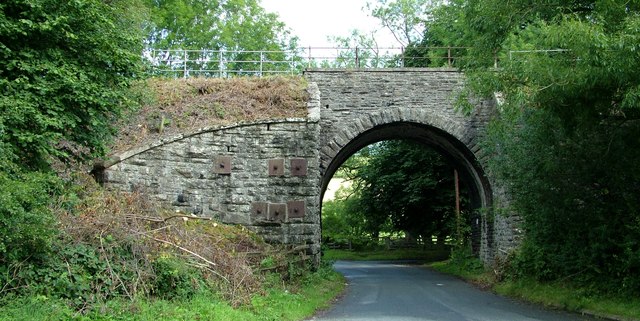
Crug Bridge The Crug Bridge that carries the Heart of Wales railway line over the B4356 West of Llangunllo - locally known as Gravel Arch.
Crug Bridge
The Crug Bridge that carries the Heart of Wales railway line over the B4356 West of Llangunllo - locally known as Gravel Arch.
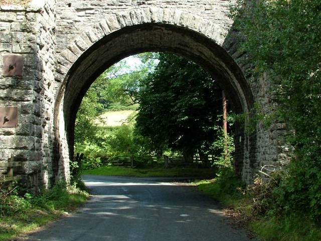
Gravel Arch bridge The Crug Bridge that carries the Heart of Wales railway line over the B4356 West of Llangunllo - locally known as Gravel Arch.
Gravel Arch bridge
The Crug Bridge that carries the Heart of Wales railway line over the B4356 West of Llangunllo - locally known as Gravel Arch.
Gravel Arch road junction Road signs at the junction below Crug bridge, Gravel Arch - just to the West of Llangunllo
Gravel Arch road junction
Road signs at the junction below Crug bridge, Gravel Arch - just to the West of Llangunllo
Show me another place!

Llanbister Road is located at Grid Ref: SO1771 (Lat: 52.335993, Lng: -3.2124402)

Unitary Authority: Powys

Police Authority: Dyfed Powys

What 3 Words

///explains.guidebook.ankle. Near Penybont, Powys

Related Wikis

Llanbister Road railway station

Llanbister Road railway station is a countryside stop about 5 miles (8 km) from the village of Llanbister, Powys, Wales. The station is 41+3⁄4 miles (67...

Llangunllo

Llangunllo (sometimes Llangynllo) is a village and community in central Powys (formerly in Radnorshire), Wales, located about 5 miles west of Knighton...

Llangynllo railway station

Llangynllo railway station is a countryside stop in Powys about 5 miles west of Knighton, on the Heart of Wales Line. The station is located 1.4 miles...

Heartsease, Llanddewi Ystradenni

Heartsease is a small settlement or hamlet in the parish and community of Llanddewi Ystradenni in Powys, Wales. It should not be confused with Heartsease...

Nearby Amenities

Located within 500m of 52.335993,-3.2124402
Llanbister Road
Naptan AtcoCode: 9100LLBSTRD
Network: National Rail
Operator: Trafnidiaeth Cymru
Operator Cy: Trafnidiaeth Cymru
Operator En: Transport for Wales
Public Transport: stop_position
Railway: stop
Train: yes
Lat/Long: 52.3361646/-3.2135049
Bicycle: yes
Lat/Long: 52.3351117/-3.2138651
Post Box
Post Box Type: lamp
Ref: LD1 78
Royal Cypher: EIIR
Royal Cypher Wikidata: Q33102113
Lat/Long: 52.3359059/-3.212606
Bicycle: yes
Lat/Long: 52.3350313/-3.2136052
Bicycle: yes
Lat/Long: 52.3346343/-3.2130145
Bicycle: yes
Lat/Long: 52.3343335/-3.2125354
Bicycle: yes
Lat/Long: 52.3340608/-3.2121088
Bicycle: yes
Lat/Long: 52.3339525/-3.2119841
Bicycle: yes
Lat/Long: 52.3338121/-3.2120235
Bicycle: yes
Lat/Long: 52.3335314/-3.2118331
Bicycle: yes
Lat/Long: 52.3332867/-3.2117347
Bicycle: yes
Lat/Long: 52.3330942/-3.2117281
Bicycle: yes
Lat/Long: 52.3329338/-3.2117215
Bicycle: yes
Lat/Long: 52.3327814/-3.2115378
Bicycle: yes
Lat/Long: 52.3323001/-3.2108945
Bicycle: yes
Lat/Long: 52.3320073/-3.2106911
Bicycle: yes
Lat/Long: 52.3318348/-3.2105204
Llanbister Road
Naptan AtcoCode: 9100LLBSTRD
Network: National Rail
Network Website: https://www.nationalrail.co.uk/stations/llt/
Network Wikidata: Q26334
Operator: Trafnidiaeth Cymru
Operator Cy: Trafnidiaeth Cymru
Operator En: Transport for Wales
Operator Website: https://tfw.wales/places/stations/llanbister-road
Operator Wikidata: Q104878180
Public Transport: station
Railway: station
Ref Crs: LLT
Request Stop: yes
Wikidata: Q2328623
Wikipedia: en:Llanbister Road railway station
Lat/Long: 52.3363191/-3.2131872
Bicycle: yes
Lat/Long: 52.3350905/-3.2137399
Give Way
Direction: backward
Lat/Long: 52.3359815/-3.2124724
Telephone
Defibrillator
Booth: K6
Covered: booth
Defibrillator Location: inside old red phone box
Emergency: defibrillator
Lat/Long: 52.3358881/-3.2126419
Advertising: board
Lat/Long: 52.3359394/-3.212577
The data included in this document is from www.openstreetmap.org. The data is made available under ODbL.

Have you been to Llanbister Road?

Leave your review of Llanbister Road below (or comments, questions and feedback).