Little London

Settlement in Lincolnshire

England

Little London

Stallingborough Grange and Windmill: aerila 2022
Stallingborough Grange and Windmill: aerila 2022 Credit: Chris

The requested URL returned error: 429 Too Many Requests

If you have any feedback on the listing, please let us know in the comments section below.

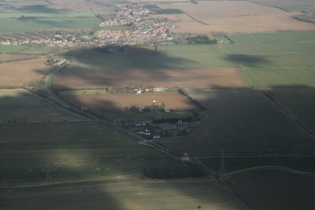
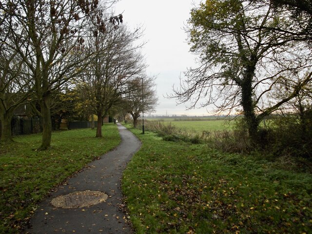
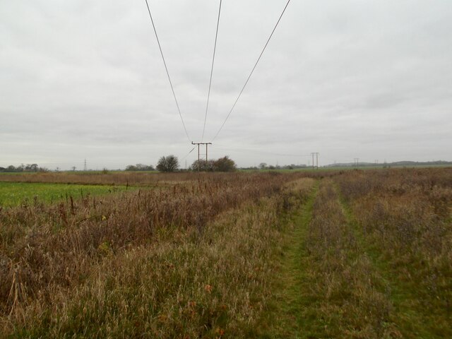
Little London Images

Images are sourced within 2km of 53.5916/-0.20831418 or Grid Reference TA1812. Thanks to Geograph Open Source API. All images are credited.

Stallingborough Grange and Windmill: aerila 2022
Site of WW2 Anti-Aircraft battery, Stallingborough See also: <a href="https://www.geograph.org.uk/photo/7208998">TA1811 : Remains of Stallingborough Anti-Aircraft Battery: aerial 2022</a>

Second World War and early post-War Heavy Anti-Aircraft gun site. One of only six of the surviving 5.25 inch HAA sites known nationally. Listed Building grade II*

See: <span class="nowrap"><a title="https://historicengland.org.uk/advice/heritage-at-risk/search-register/list-entry/407134" rel="nofollow ugc noopener" href="https://historicengland.org.uk/advice/heritage-at-risk/search-register/list-entry/407134">Link</a><img style="margin-left:2px;" alt="External link" title="External link - shift click to open in new window" src="https://s1.geograph.org.uk/img/external.png" width="10" height="10"/></span>
Site of WW2 Anti-Aircraft battery, Stallingborough
See also: TA1811 : Remains of Stallingborough Anti-Aircraft Battery: aerial 2022 Second World War and early post-War Heavy Anti-Aircraft gun site. One of only six of the surviving 5.25 inch HAA sites known nationally. Listed Building grade II* See: LinkExternal link
A180 roundabout north of Stallingborough: aerial 2022
A1173 development north of Stallingborough: aerial 2022
Remains of Stallingborough Anti-Aircraft Battery: aerial 2022 See also: <a href="https://www.geograph.org.uk/photo/7204723">TA1811 : Site of WW2 Anti-Aircraft battery, Stallingborough</a>.

The former Heavy Anti-Aircraft gun site off Keelby Road, a Second World War HAA gun site for 5.25 inch guns, is designated at Grade II* for the following principal reasons:

* Rarity: One of only six surviving 5.25 inch HAA gun sites known nationally; * Survival: For retaining the complete functional layout of the gun site including all four emplacements with their engine houses, the command post as well as the guardhouse/gunstore and the generator house; * Technological: As an example of the most technologically advanced anti-aircraft gun site developed in the Second World War; * Historical: As an illustration of the considerable investment made to counter bombing raids by the Luftwaffe; * Social Interest: The design of the command post suggests that this was a gun site that employed female soldiers from the ATS, one of the milestones passed during the Second World War in the furtherance of equality between the sexes. 

See: <span class="nowrap"><a title="https://historicengland.org.uk/listing/the-list/list-entry/1403222?section=official-list-entry" rel="nofollow ugc noopener" href="https://historicengland.org.uk/listing/the-list/list-entry/1403222?section=official-list-entry">Link</a><img style="margin-left:2px;" alt="External link" title="External link - shift click to open in new window" src="https://s1.geograph.org.uk/img/external.png" width="10" height="10"/></span>
Remains of Stallingborough Anti-Aircraft Battery: aerial 2022
See also: TA1811 : Site of WW2 Anti-Aircraft battery, Stallingborough. The former Heavy Anti-Aircraft gun site off Keelby Road, a Second World War HAA gun site for 5.25 inch guns, is designated at Grade II* for the following principal reasons: * Rarity: One of only six surviving 5.25 inch HAA gun sites known nationally; * Survival: For retaining the complete functional layout of the gun site including all four emplacements with their engine houses, the command post as well as the guardhouse/gunstore and the generator house; * Technological: As an example of the most technologically advanced anti-aircraft gun site developed in the Second World War; * Historical: As an illustration of the considerable investment made to counter bombing raids by the Luftwaffe; * Social Interest: The design of the command post suggests that this was a gun site that employed female soldiers from the ATS, one of the milestones passed during the Second World War in the furtherance of equality between the sexes. See: LinkExternal link
Earthworks in fields at Stallingborough: aerial 2022
The A180 road and the Humber Estuary from the air The A180/A1173 junction is in the foreground, with South Killingholme oil refineries and Immingham Docks on the south bank of the Humber beyond.

Taken at 37,000 feet by mobile phone, from a Prague bound flight from Edinburgh.
The A180 road and the Humber Estuary from the air
The A180/A1173 junction is in the foreground, with South Killingholme oil refineries and Immingham Docks on the south bank of the Humber beyond. Taken at 37,000 feet by mobile phone, from a Prague bound flight from Edinburgh.
Footpath south of Immingham
Path south of Immingham
Level Crossing and Roxton Sidings Signal Box Now automated but the signal box still stands.  A house for the crossing keeper stood where the trees are on the left.
Level Crossing and Roxton Sidings Signal Box
Now automated but the signal box still stands. A house for the crossing keeper stood where the trees are on the left.
Approaching Roxton Sidings Signal Box Taken from the Habrough to Stallingborough footpath.
Approaching Roxton Sidings Signal Box
Taken from the Habrough to Stallingborough footpath.
The line to Stallingborough Opened in 1848 by the Manchester, Sheffield and Lincolnshire Railway.
The line to Stallingborough
Opened in 1848 by the Manchester, Sheffield and Lincolnshire Railway.
The lane from Keelby to Immingham A quiet lane favoured by dog-walkers and fly-tippers.
The lane from Keelby to Immingham
A quiet lane favoured by dog-walkers and fly-tippers.
View from the B1210 towards the A180 It is proposed to build a road parallel to the A180 from Stallingborough Interchange (A180/A1173) to a point just south of here to provide quicker access from the A180 to the western parts of Immingham.
View from the B1210 towards the A180
It is proposed to build a road parallel to the A180 from Stallingborough Interchange (A180/A1173) to a point just south of here to provide quicker access from the A180 to the western parts of Immingham.
Green Bus Stop The electricity for the light at this bus stop is generated by either wind or solar power. It stands at the end of the lane to The Bungalow and Tara's.
Green Bus Stop
The electricity for the light at this bus stop is generated by either wind or solar power. It stands at the end of the lane to The Bungalow and Tara's.
Footpath to Immingham Looking towards Stallingborough Interchange.
Footpath to Immingham
Looking towards Stallingborough Interchange.
Two bridges Interesting to what once was considered adequate alongside its succcessor.
Two bridges
Interesting to what once was considered adequate alongside its succcessor.
Bridleway to Stallingborough Unfortunately if you wanted to lead a horse into Stallingborough you would be defeated by the bridleway splitting into three footpaths each of which ends with a stile.
Bridleway to Stallingborough
Unfortunately if you wanted to lead a horse into Stallingborough you would be defeated by the bridleway splitting into three footpaths each of which ends with a stile.
Show me another place!

Little London is located at Grid Ref: TA1812 (Lat: 53.5916, Lng: -0.20831418)

Division: Parts of Lindsey

Unitary Authority: North East Lincolnshire

Police Authority: Humberside

What 3 Words

///grounded.peroxide.voters. Near Stallingborough, Lincolnshire

Nearby Locations

Little London

Related Wikis

Stallingborough

Stallingborough is a village and civil parish in North East Lincolnshire, England. The population of the civil parish at the 2011 census was 1,234. �...

Stallingborough railway station

Stallingborough railway station serves the village of Stallingborough in North East Lincolnshire, England. It was built by the Great Grimsby and Sheffield...

Barton line

The Barton line is a railway line in North and North East Lincolnshire, England. It runs from Barton-upon-Humber south east to Cleethorpes and was designated...

A180 road (England)

The A180 is a primary route in northern England, that runs from the M180 motorway to Cleethorpes. The road is a continuation of the M180, but built to...

Nearby Amenities

Located within 500m of 53.5916,-0.20831418
Bus Stop
Keelby Road
Naptan AtcoCode: 228000133032
Naptan Bearing: NW
Naptan CommonName: Keelby Road
Naptan Crossing: Keelby Road
Naptan Indicator: adj
Naptan Landmark: Little London Farm
Naptan NaptanCode: gritgaj
Naptan Notes: None
Naptan Street: Stallingborough Road
Naptan Verified: no
Source: naptan_import
Lat/Long: 53.5913331/-0.2082825
Bus Stop
Keelby Road
Naptan AtcoCode: 228000133395
Naptan Bearing: SE
Naptan CommonName: Keelby Road
Naptan Crossing: Keelby Road
Naptan Indicator: opp
Naptan Landmark: Little London Farm
Naptan NaptanCode: gritmaj
Naptan Notes: None
Naptan Street: Stallingborough Road
Naptan Verified: no
Source: naptan_import
Lat/Long: 53.5908373/-0.2075933
Crossing Barrier: double_half
Railway: level_crossing
Lat/Long: 53.5941115/-0.210873
Pub
Source: OS_OpenData_StreetView
Lat/Long: 53.5897441/-0.2067888
Crossing Barrier: double_half
Railway: level_crossing
Lat/Long: 53.5941625/-0.2109247
Little London Farm
Place: farm
Source: Bing
Lat/Long: 53.5902151/-0.2067407
Little London
Place: hamlet
Source: Bing
Lat/Long: 53.5903492/-0.2082574
Material: wood
Power: pole
Lat/Long: 53.5887193/-0.203082
Material: wood
Power: pole
Lat/Long: 53.5892632/-0.2040194
Power: pole
Lat/Long: 53.5897793/-0.2049467
Frequency: 50
Phases: 3
Power: pole
Transformer: distribution
Voltage: 110000;230
Lat/Long: 53.5902557/-0.2057861
Power: pole
Lat/Long: 53.5909249/-0.2060838
Power: pole
Lat/Long: 53.5912851/-0.2070452
Power: pole
Lat/Long: 53.5916736/-0.2079101
Power: pole
Lat/Long: 53.5923031/-0.2085595
Power: pole
Lat/Long: 53.5929837/-0.2092883
Frequency: 50
Material: wood
Power: pole
Transformer: distribution
Voltage: 11000;400
Lat/Long: 53.5953514/-0.2053322
Material: wood
Power: pole
Lat/Long: 53.5955742/-0.2056755
Post Box
Collection Times: Mo-Fr 09:00; Sa 07:00
Operator: Royal Mail
Post Box Mounting: pier
Post Box Type: lamp
Ref: DN41 128
Lat/Long: 53.5915815/-0.2087349
Historic: fort
Ruins: yes
Lat/Long: 53.5881617/-0.212954
The data included in this document is from www.openstreetmap.org. The data is made available under ODbL.

Have you been to Little London?

Leave your review of Little London below (or comments, questions and feedback).