Little London

Settlement in Sussex Mid Sussex

England

Little London

Bridleway 33Ba This follows the east side of Ardingly Reservoir, usually closer than this.
Bridleway 33Ba Credit: Robin Webster

Little London is a charming village located in the county of Sussex, England. Nestled amidst picturesque landscapes, this idyllic settlement is renowned for its quaint and peaceful atmosphere. Situated within close proximity to the South Downs National Park, Little London offers residents and visitors stunning views of rolling hills, lush greenery, and enchanting countryside.

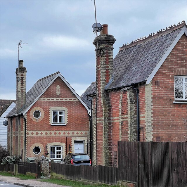
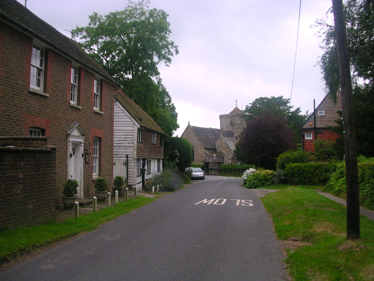
The village is home to a small but tight-knit community, fostering a warm and welcoming environment. The architecture of Little London reflects its rich history, with many traditional cottages and buildings dating back several centuries. The village church, St. Mary's, is a prominent landmark and showcases stunning medieval craftsmanship.

Despite its relatively small size, Little London boasts a range of amenities to cater to the needs of its residents. The village features a local pub, The Rose and Crown, which serves delicious traditional British fare and provides a cozy spot for socializing. Additionally, there is a village hall that hosts various community events and gatherings throughout the year.

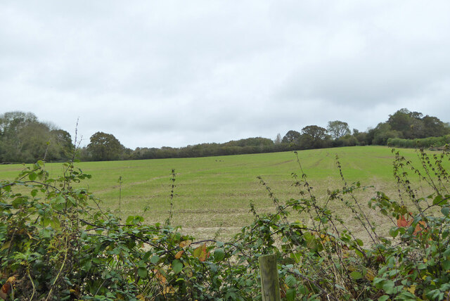
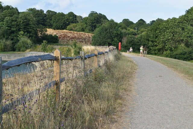
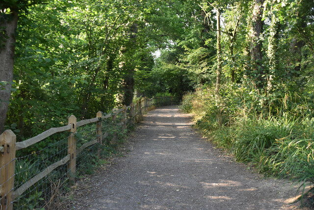
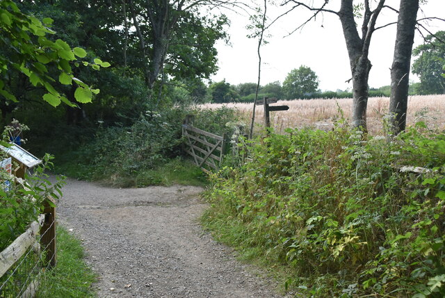
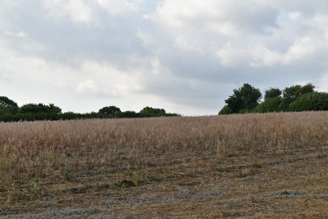
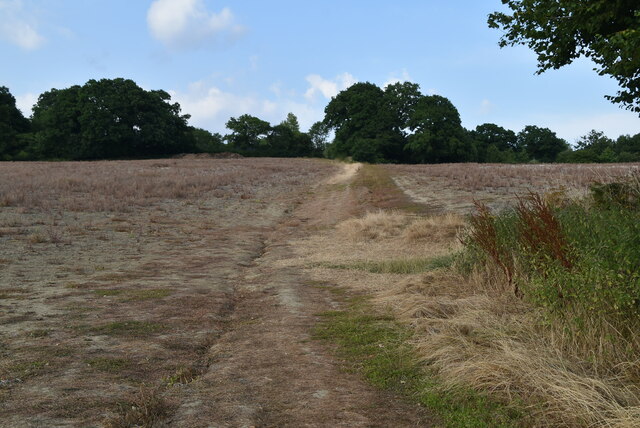
Nature enthusiasts will find plenty to explore in the surrounding area. The nearby South Downs National Park offers numerous walking trails and cycling routes, allowing visitors to immerse themselves in the region's natural beauty. Little London is also within easy reach of several charming villages and towns, such as Petworth and Midhurst, which offer further amenities and attractions.

Overall, Little London, Sussex is a tranquil and picturesque village that offers residents and visitors a chance to experience the beauty of the English countryside while enjoying a strong sense of community.

If you have any feedback on the listing, please let us know in the comments section below.

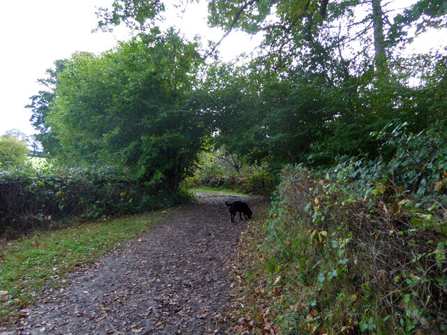
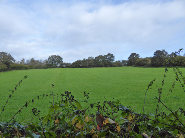
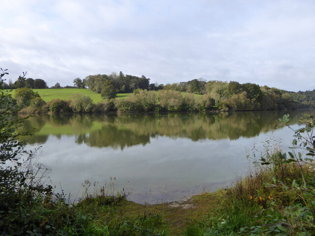
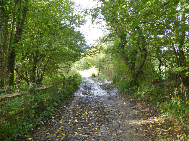
Little London Images

Images are sourced within 2km of 51.057459/-0.084955876 or Grid Reference TQ3430. Thanks to Geograph Open Source API. All images are credited.

Bridleway 33Ba This follows the east side of Ardingly Reservoir, usually closer than this.
Bridleway 33Ba
This follows the east side of Ardingly Reservoir, usually closer than this.
Field north of Ardingly Reservoir
Ardingly Reservoir
Ardingly Reservoir
Bridleway 42 Ar This, together with its continuation 33Ba, follows the east side of Ardingly Reservoir.
Bridleway 42 Ar
This, together with its continuation 33Ba, follows the east side of Ardingly Reservoir.
Ardingly Reservoir
Ardingly Reservoir
Field near Townhouse Farm Looking up from the path by Ardingly Reservoir.
Field near Townhouse Farm
Looking up from the path by Ardingly Reservoir.
Ardingly Reservoir - from the dam
Houses on High Street
Ardingly Post Office
Saucelands Pond Ardingly College is beyond.
Saucelands Pond
Ardingly College is beyond.
Ardingly Reservoir overflow tower Ardingly Reservoir is a 198-acre (0.80 km2) reservoir that feeds the River Ouse in West Sussex, 5 miles (8 km) north of Haywards Heath. The villages of Ardingly and Balcombe are immediately to the east and north of the reservoir respectively. The reservoir was created in 1978 by damming Shell Brook, a tributary of the River Ouse which flows into the Ouse about 500m south of the Reservoir.

The Ardingly Activity Centre provides watersports for the public including wind surfing, canoeing, powerboating and dinghy sailing.

The reservoir is a popular fishing venue offering 3 miles (5 km) of freshwater fishing for carp, tench, pike, roach, rudd, eel, gudgeon, European perch and bream.

The west bank of the reservoir is private property of the Balcombe Estate but the north, south and east shores offer public rights of way and bridleways. Ornithologists are catered for with two bird hides situated on the east bank.

The site is a local Nature Reserve <span class="nowrap"><a title="http://en.wikipedia.org/wiki/Ardingly_Reservoir" rel="nofollow ugc noopener" href="http://en.wikipedia.org/wiki/Ardingly_Reservoir">Link</a><img style="margin-left:2px;" alt="External link" title="External link - shift click to open in new window" src="https://s1.geograph.org.uk/img/external.png" width="10" height="10"/></span>
Ardingly Reservoir overflow tower
Ardingly Reservoir is a 198-acre (0.80 km2) reservoir that feeds the River Ouse in West Sussex, 5 miles (8 km) north of Haywards Heath. The villages of Ardingly and Balcombe are immediately to the east and north of the reservoir respectively. The reservoir was created in 1978 by damming Shell Brook, a tributary of the River Ouse which flows into the Ouse about 500m south of the Reservoir. The Ardingly Activity Centre provides watersports for the public including wind surfing, canoeing, powerboating and dinghy sailing. The reservoir is a popular fishing venue offering 3 miles (5 km) of freshwater fishing for carp, tench, pike, roach, rudd, eel, gudgeon, European perch and bream. The west bank of the reservoir is private property of the Balcombe Estate but the north, south and east shores offer public rights of way and bridleways. Ornithologists are catered for with two bird hides situated on the east bank. The site is a local Nature Reserve LinkExternal link
Ardingly Reservoir Ardingly Reservoir is a 198-acre (0.80 km2) reservoir that feeds the River Ouse in West Sussex, 5 miles (8 km) north of Haywards Heath. The villages of Ardingly and Balcombe are immediately to the east and north of the reservoir respectively. The reservoir was created in 1978 by damming Shell Brook, a tributary of the River Ouse which flows into the Ouse about 500m south of the Reservoir.

The Ardingly Activity Centre provides watersports for the public including wind surfing, canoeing, powerboating and dinghy sailing.

The reservoir is a popular fishing venue offering 3 miles (5 km) of freshwater fishing for carp, tench, pike, roach, rudd, eel, gudgeon, European perch and bream.

The west bank of the reservoir is private property of the Balcombe Estate but the north, south and east shores offer public rights of way and bridleways. Ornithologists are catered for with two bird hides situated on the east bank.

The site is a local Nature Reserve <span class="nowrap"><a title="http://en.wikipedia.org/wiki/Ardingly_Reservoir" rel="nofollow ugc noopener" href="http://en.wikipedia.org/wiki/Ardingly_Reservoir">Link</a><img style="margin-left:2px;" alt="External link" title="External link - shift click to open in new window" src="https://s1.geograph.org.uk/img/external.png" width="10" height="10"/></span>
Ardingly Reservoir
Ardingly Reservoir is a 198-acre (0.80 km2) reservoir that feeds the River Ouse in West Sussex, 5 miles (8 km) north of Haywards Heath. The villages of Ardingly and Balcombe are immediately to the east and north of the reservoir respectively. The reservoir was created in 1978 by damming Shell Brook, a tributary of the River Ouse which flows into the Ouse about 500m south of the Reservoir. The Ardingly Activity Centre provides watersports for the public including wind surfing, canoeing, powerboating and dinghy sailing. The reservoir is a popular fishing venue offering 3 miles (5 km) of freshwater fishing for carp, tench, pike, roach, rudd, eel, gudgeon, European perch and bream. The west bank of the reservoir is private property of the Balcombe Estate but the north, south and east shores offer public rights of way and bridleways. Ornithologists are catered for with two bird hides situated on the east bank. The site is a local Nature Reserve LinkExternal link
Ardingly Reservoir Dam
Ardingly Reservoir Ardingly Reservoir is a 198-acre (0.80 km2) reservoir that feeds the River Ouse in West Sussex, 5 miles (8 km) north of Haywards Heath. The villages of Ardingly and Balcombe are immediately to the east and north of the reservoir respectively. The reservoir was created in 1978 by damming Shell Brook, a tributary of the River Ouse which flows into the Ouse about 500m south of the Reservoir.

The Ardingly Activity Centre provides watersports for the public including wind surfing, canoeing, powerboating and dinghy sailing.

The reservoir is a popular fishing venue offering 3 miles (5 km) of freshwater fishing for carp, tench, pike, roach, rudd, eel, gudgeon, European perch and bream.

The west bank of the reservoir is private property of the Balcombe Estate but the north, south and east shores offer public rights of way and bridleways. Ornithologists are catered for with two bird hides situated on the east bank.

The site is a local Nature Reserve <span class="nowrap"><a title="http://en.wikipedia.org/wiki/Ardingly_Reservoir" rel="nofollow ugc noopener" href="http://en.wikipedia.org/wiki/Ardingly_Reservoir">Link</a><img style="margin-left:2px;" alt="External link" title="External link - shift click to open in new window" src="https://s1.geograph.org.uk/img/external.png" width="10" height="10"/></span>
Ardingly Reservoir
Ardingly Reservoir is a 198-acre (0.80 km2) reservoir that feeds the River Ouse in West Sussex, 5 miles (8 km) north of Haywards Heath. The villages of Ardingly and Balcombe are immediately to the east and north of the reservoir respectively. The reservoir was created in 1978 by damming Shell Brook, a tributary of the River Ouse which flows into the Ouse about 500m south of the Reservoir. The Ardingly Activity Centre provides watersports for the public including wind surfing, canoeing, powerboating and dinghy sailing. The reservoir is a popular fishing venue offering 3 miles (5 km) of freshwater fishing for carp, tench, pike, roach, rudd, eel, gudgeon, European perch and bream. The west bank of the reservoir is private property of the Balcombe Estate but the north, south and east shores offer public rights of way and bridleways. Ornithologists are catered for with two bird hides situated on the east bank. The site is a local Nature Reserve LinkExternal link
Footpath, Ardingly Reservoir
Footpath waymarker
Footpath waymarker
Field by Ardingly Reservoir
Footpath to Ardingly
Show me another place!

Little London is located at Grid Ref: TQ3430 (Lat: 51.057459, Lng: -0.084955876)

Administrative County: West Sussex

District: Mid Sussex

Police Authority: Sussex

What 3 Words

///outs.harp.overlaid. Near Ardingly, West Sussex

Related Wikis

South of England Show

The South of England Show is a county show held annually at its own showground in Ardingly, Sussex during June.The show was founded in 1967 and is organised...

St Peter's Church, Ardingly

St Peter's Church is the Church of England parish church of the parish of Ardingly in Mid Sussex, one of seven local government districts in the English...

Wakehurst Place

Wakehurst, previously known as Wakehurst Place, is a house and botanic gardens in West Sussex, England, owned by the National Trust but used and managed...
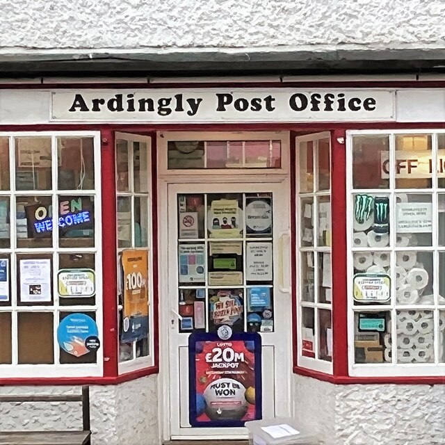
Ardingly

Ardingly ( AR-ding-lye) is an English village and civil parish in the Mid Sussex district of West Sussex, England. The village is in the High Weald Area...

Millennium Seed Bank Partnership

The Millennium Seed Bank Partnership (MSBP or MSB), formerly known as the Millennium Seed Bank Project, is the largest ex situ plant conservation programme...
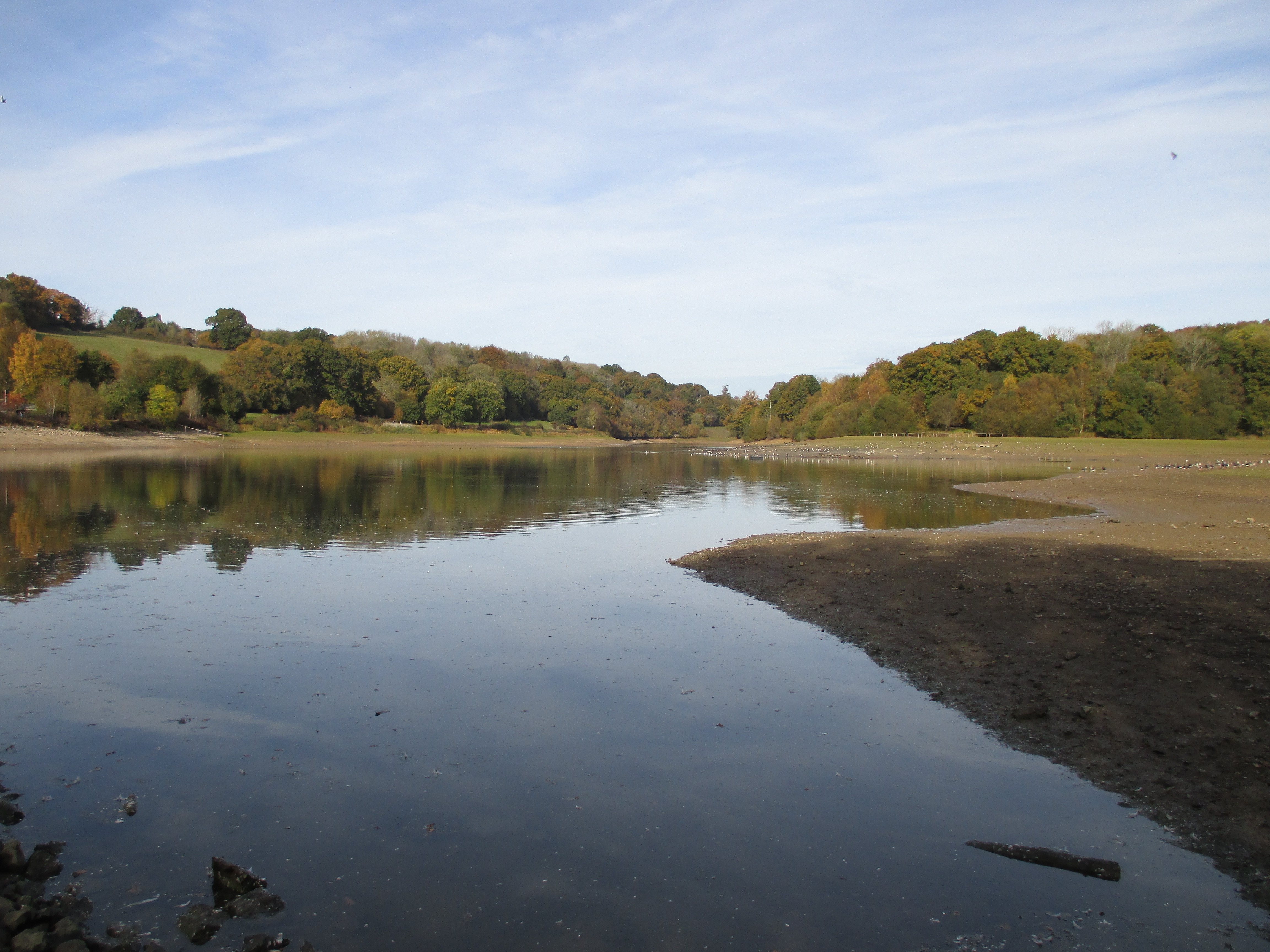
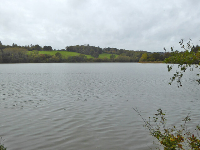
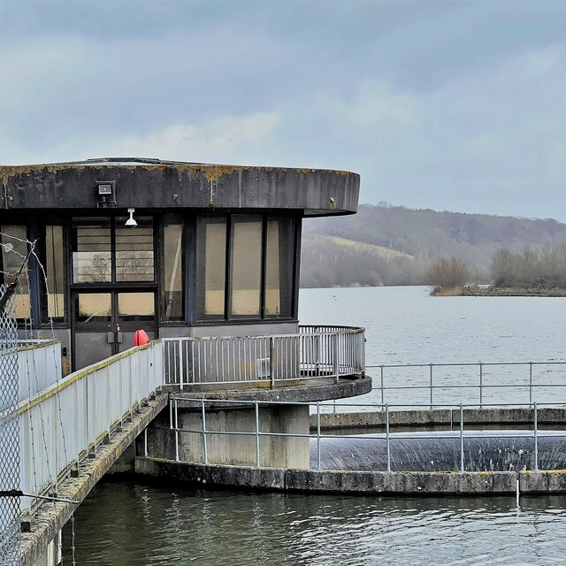
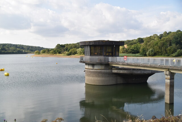
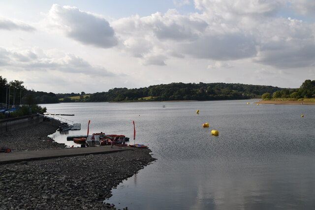
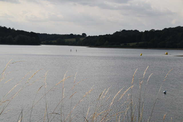
Ardingly Reservoir

Ardingly Reservoir is west of Ardingly in West Sussex. The southern end is a 74.5-hectare (184-acre) Local Nature Reserve owned and managed by South East...

Philpot's and Hook Quarries

Philpot's and Hook Quarries is a 2.6-hectare (6.4-acre) geological Site of Special Scientific Interest south-west of Sharpthorne in West Sussex. It is...

Wakehurst and Chiddingly Woods

Wakehurst and Chiddingly Woods is a 155.9-hectare (385-acre) biological and geological Site of Special Scientific Interest south-east of Crawley in West...

Nearby Amenities

Located within 500m of 51.057459,-0.084955876
Post Box
Ref: RH17 40
Lat/Long: 51.0596883/-0.0857354
Bus Stop
Gardeners Arms
Naptan AtcoCode: 4400EG0163
Naptan Bearing: N
Naptan CommonName: Gardeners Arms
Naptan Indicator: opp Gardners Arms
Naptan Landmark: Gardners Arms
Naptan NaptanCode: wsxapagt
Naptan Street: B2028
Naptan Verified: no
Public Transport: platform
Shelter: no
Source: naptan_import
Lat/Long: 51.0598887/-0.0859671
Bus Stop
Gardeners Arms
Bench: no
Naptan AtcoCode: 4400EG0164
Naptan Bearing: S
Naptan CommonName: Gardeners Arms
Naptan Indicator: outside Gardeners Arms
Naptan Landmark: Gardners Arms
Naptan NaptanCode: wsxapagw
Naptan Street: A2028
Naptan Verified: no
Public Transport: platform
Shelter: no
Source: naptan_import
Lat/Long: 51.0595882/-0.0858311
Selsfield Road B2028
Naptan AtcoCode: 4400EG0397
Naptan Bearing: S
Naptan BusStopType: CUS
Naptan CommonName: Selsfield Road B2028
Naptan Indicator: HAR
Naptan Landmark: Hail & Ride
Naptan NaptanCode: wsxdwtdp
Naptan Street: Selsfield Road B2028
Naptan Verified: no
Source: naptan_import
Lat/Long: 51.0560985/-0.0830397
Selsfield Road B2028
Naptan AtcoCode: 4400EG0398
Naptan Bearing: N
Naptan BusStopType: CUS
Naptan CommonName: Selsfield Road B2028
Naptan Indicator: HAR
Naptan Landmark: Hail & Ride
Naptan NaptanCode: wsxdwtdt
Naptan Street: Selsfield Road B2028
Naptan Verified: no
Source: naptan_import
Lat/Long: 51.0560283/-0.0831425
Ardingly Showground
Historic: monument
Name En: Ardingly Showground
Lat/Long: 51.0573057/-0.0851969
Bottle: yes
Drinking Water: yes
Man Made: water_tap
Lat/Long: 51.054115/-0.0829154
Bench
Backrest: yes
Lat/Long: 51.0543407/-0.0860459
Bench
Backrest: yes
Lat/Long: 51.0543686/-0.0859934
Bench
Backrest: yes
Lat/Long: 51.0543734/-0.0860427
Bench
Backrest: yes
Lat/Long: 51.054335/-0.0859963
Bottle: yes
Drinking Water: yes
Man Made: water_tap
Lat/Long: 51.0540038/-0.0858154
Bottle: yes
Drinking Water: yes
Man Made: water_tap
Lat/Long: 51.053987/-0.086211
Bench
Backrest: no
Lat/Long: 51.0542921/-0.0845539
The data included in this document is from www.openstreetmap.org. The data is made available under ODbL.

Have you been to Little London?

Leave your review of Little London below (or comments, questions and feedback).