Little London
Settlement in Wiltshire
England
Little London

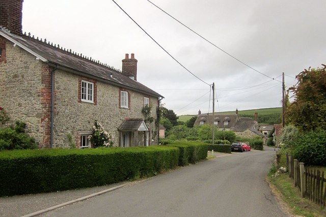
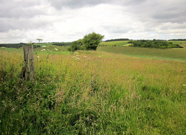
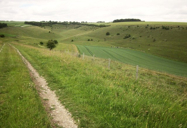
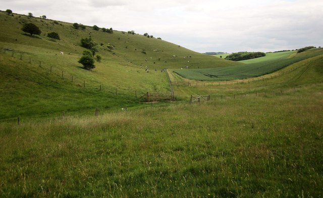
Little London is a small village located in the county of Wiltshire, England. Situated approximately 5 miles east of Andover, it is nestled in the picturesque landscape of the North Wessex Downs, an Area of Outstanding Natural Beauty. The village is surrounded by rolling hills, lush meadows, and ancient woodlands, offering residents and visitors an idyllic countryside setting.
With a population of around 400 people, Little London maintains a close-knit and friendly community atmosphere. The village primarily consists of traditional stone cottages and farmhouses, giving it a charming and rustic feel. The local architecture is a mix of historical and modern buildings, seamlessly blending the old with the new.
The village is well-served by a range of amenities, including a local pub, The Fox and Hounds, which is a popular gathering spot for locals and visitors alike. The pub offers a warm and welcoming atmosphere, along with a selection of fine ales and delicious pub food.
Little London is also home to a primary school, providing education for children in the village and surrounding areas. The village has excellent transport links, with easy access to major roads and nearby railway stations, making it a convenient base for commuters.
For outdoor enthusiasts, Little London offers numerous opportunities to explore the surrounding countryside, with an extensive network of footpaths and trails. The village is also within close proximity to several notable landmarks, including the ancient hill fort of Danebury Iron Age Hillfort and the historic town of Winchester.
In summary, Little London is a delightful village in Wiltshire, boasting a breathtaking natural environment, a strong sense of community, and a range of amenities that cater to the needs of its residents and visitors.
If you have any feedback on the listing, please let us know in the comments section below.
Little London Images
Images are sourced within 2km of 51.023925/-1.9678257 or Grid Reference SU0224. Thanks to Geograph Open Source API. All images are credited.


Little London is located at Grid Ref: SU0224 (Lat: 51.023925, Lng: -1.9678257)
Unitary Authority: Wiltshire
Police Authority: Wiltshire
What 3 Words
///crunching.sourced.club. Near Bower Chalke, Wiltshire
Nearby Locations
Related Wikis

Fifield Bavant
Fifield Bavant (/'fʌɪfiːld 'bavənt/) is a small village in the civil parish of Ebbesborne Wake, in Wiltshire, England, about 6 miles (10 km) southwest...

River Chalke
The River Chalke is a small river within the English county of Wiltshire. It is the most significant tributary of the River Ebble. The river rises at Mead...

Gurston Down Motorsport Hillclimb
The Gurston Down Speed Hill Climb is a hillclimb in Broad Chalke, Wiltshire, England, organised by the South Western Centre of the British Automobile Racing...
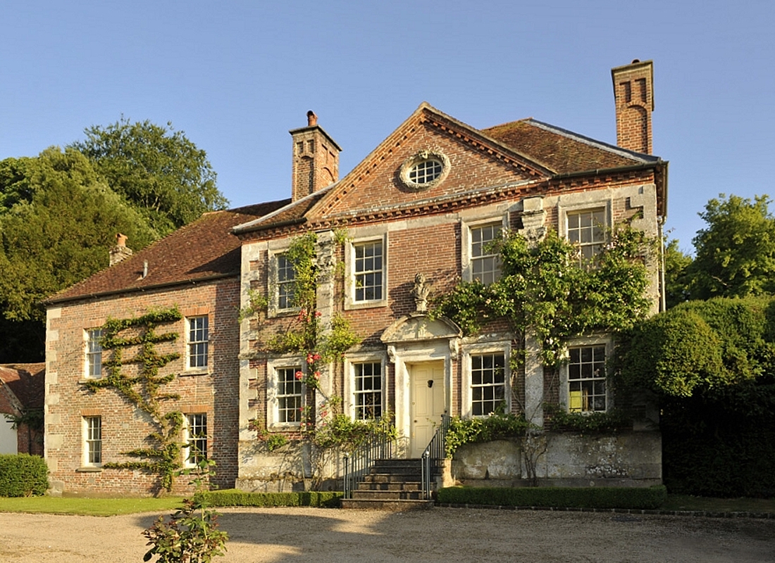
Reddish House
Reddish House, also known as Reddish Manor, is an early 18th-century manor house in the village of Broad Chalke in Wiltshire, England. It was possibly...
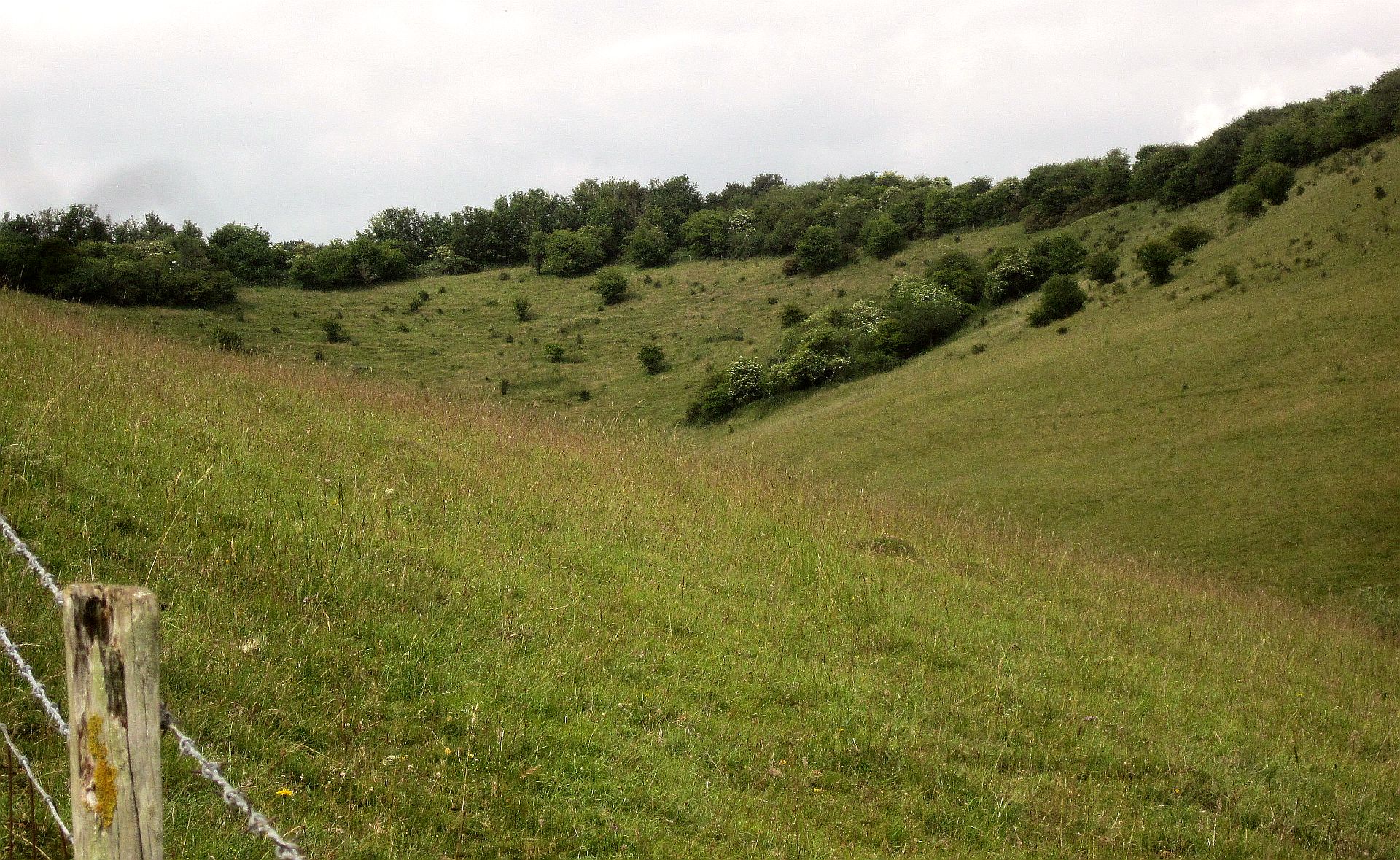
Knapp and Barnett's Downs
Knapp and Barnett's Downs (grid reference SU030266) is a 71.4 hectare biological Site of Special Scientific Interest in Wiltshire, notified in 1971....
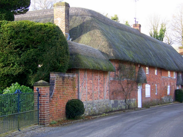
Broad Chalke
Broad Chalke, sometimes spelled Broadchalke, Broad Chalk or Broadchalk, is a village and civil parish in Wiltshire, England, about 8 miles (13 km) west...

Bowerchalke
Bowerchalke is a village and civil parish in Wiltshire, England, about 9 miles (14 km) southwest of Salisbury. It is in the south of the county, about...

Knighton Downs and Wood
Knighton Downs and Wood (grid reference SU048237) is a 203.7 hectare biological Site of Special Scientific Interest in Wiltshire, notified in 1971. �...
Nearby Amenities
Located within 500m of 51.023925,-1.9678257Have you been to Little London?
Leave your review of Little London below (or comments, questions and feedback).