Little London

Settlement in Staffordshire

England

Little London

Short Heath Basin Built in 1906 by the Hollybank Colliery as a colliery wharf and landsale. A mineral railway was constructed directly from the pit in Essington to eliminate the locks on the Wyrley Branch of the Curly Wyrley. The facility remained in use until the closure of the Hilton Main Colliery in the late 1960s.

A landsale was a site where coal was stockpiled to meet seasonal demand with local sale to coal merchants.
Short Heath Basin Credit: John M

Little London is a small village located in the county of Staffordshire, in the West Midlands region of England. Situated approximately 6 miles north of the city of Stafford, this picturesque village is surrounded by rolling countryside and offers a tranquil escape from urban life.

With a population of around 500 residents, Little London retains a close-knit community feel. The village is characterized by its charming stone cottages, many of which date back several centuries, giving it a timeless and traditional atmosphere. The architecture reflects the village's rich heritage and is a testament to its long history.

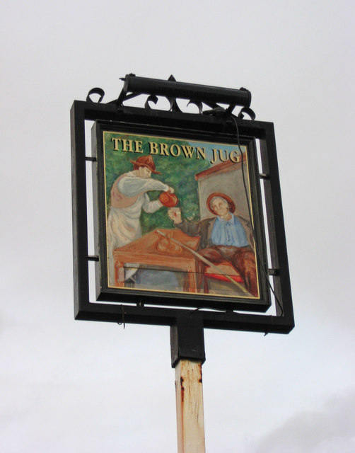
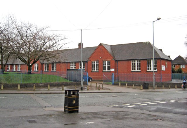
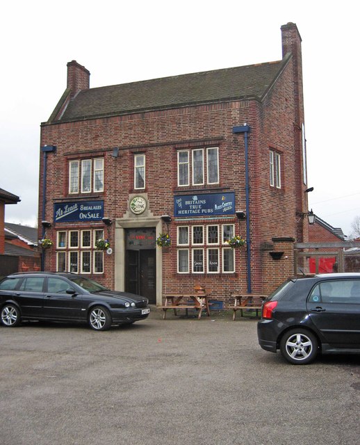
Despite its small size, Little London boasts a number of amenities that cater to the needs of its residents. These include a local pub, a primary school, and a village hall that hosts various community events throughout the year. The village is also well-connected to nearby towns and cities, with regular bus services and easy access to major road networks.

Nature enthusiasts will find themselves at home in Little London, as the village is surrounded by beautiful countryside and scenic walking routes. The nearby Cannock Chase, an Area of Outstanding Natural Beauty, offers opportunities for hiking, cycling, and wildlife spotting. Additionally, the village is within close proximity to several historic landmarks and tourist attractions, such as Stafford Castle and Shugborough Hall.

In summary, Little London is a charming village in Staffordshire that provides a peaceful and idyllic setting for its residents. With its rich history, picturesque architecture, and access to beautiful countryside, it offers a delightful place to live or visit.

If you have any feedback on the listing, please let us know in the comments section below.

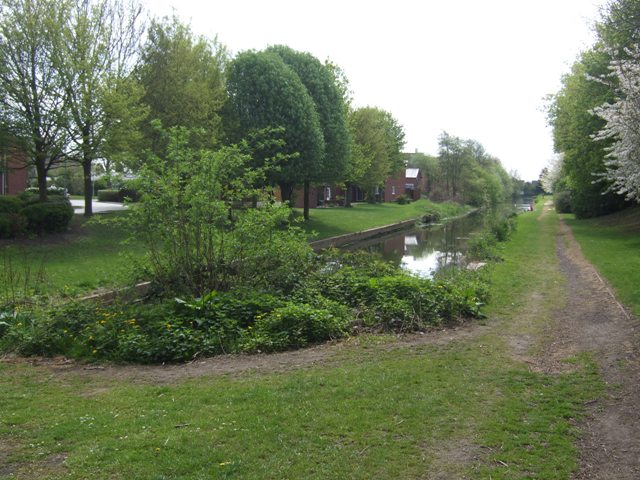
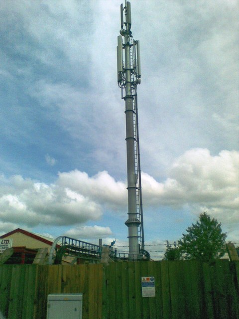
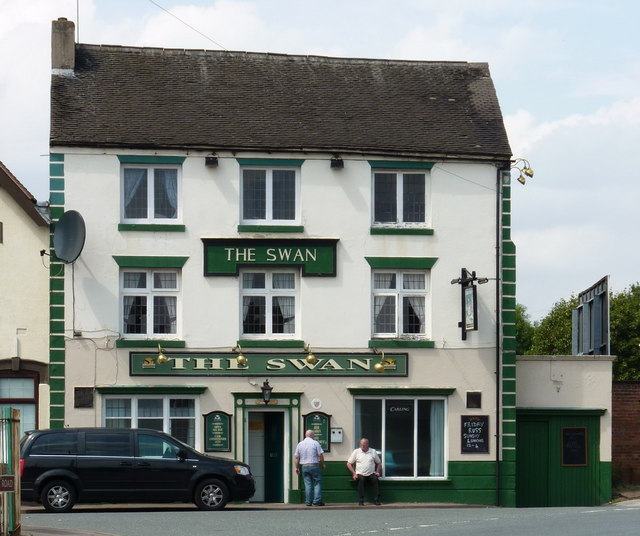
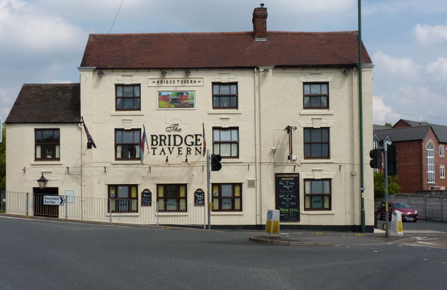
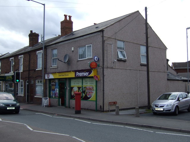
Little London Images

Images are sourced within 2km of 52.590478/-2.0579236 or Grid Reference SO9699. Thanks to Geograph Open Source API. All images are credited.

Short Heath Basin Built in 1906 by the Hollybank Colliery as a colliery wharf and landsale. A mineral railway was constructed directly from the pit in Essington to eliminate the locks on the Wyrley Branch of the Curly Wyrley. The facility remained in use until the closure of the Hilton Main Colliery in the late 1960s.

A landsale was a site where coal was stockpiled to meet seasonal demand with local sale to coal merchants.
Short Heath Basin
Built in 1906 by the Hollybank Colliery as a colliery wharf and landsale. A mineral railway was constructed directly from the pit in Essington to eliminate the locks on the Wyrley Branch of the Curly Wyrley. The facility remained in use until the closure of the Hilton Main Colliery in the late 1960s. A landsale was a site where coal was stockpiled to meet seasonal demand with local sale to coal merchants.
Telecommunications mast, Ezekiel Lane
The Swan - a pub on Bentley Lane, Lane Head area
The Bridge Tavern, Lane Head Very appropriately named, as it sits practically on the bridge over the Curly Wyrley cut.
The Bridge Tavern, Lane Head
Very appropriately named, as it sits practically on the bridge over the Curly Wyrley cut.
The Lane Head Nursery School
All gone! The site of the former Lane Heath Methodist Church - all that's left is a rather sad wooden sign just inside the chain-link fence, to give away the identity of the church that formerly occupied the site.
All gone!
The site of the former Lane Heath Methodist Church - all that's left is a rather sad wooden sign just inside the chain-link fence, to give away the identity of the church that formerly occupied the site.
Piling boat Wyrley & Essington canal Construction of Lane Head moorings adjacent to United Kingdom pub car park
Piling boat Wyrley & Essington canal
Construction of Lane Head moorings adjacent to United Kingdom pub car park
The former Brown Jug (1), 52 Sandbeds Road, Shortheath, Willenhall The Brown Jug pub has closed and is boarded up. I have no information on the future of the building.

<a href="https://www.geograph.org.uk/photo/2745585">SJ9700 : The former Brown Jug (2) - sign, 52 Sandbeds Road, Shortheath, Willenhall</a>.
The former Brown Jug (1), 52 Sandbeds Road, Shortheath, Willenhall
The Brown Jug pub has closed and is boarded up. I have no information on the future of the building. SJ9700 : The former Brown Jug (2) - sign, 52 Sandbeds Road, Shortheath, Willenhall.
The former Brown Jug (2) - sign, 52 Sandbeds Road, Shortheath, Willenhall The sign of this closed pub is still present, on top of a post in the front car park, adjacent to Sandbeds Road.

<a href="https://www.geograph.org.uk/photo/2745575">SJ9700 : The former Brown Jug (1), 52 Sandbeds Road, Shortheath, Willenhall</a>.
The former Brown Jug (2) - sign, 52 Sandbeds Road, Shortheath, Willenhall
The sign of this closed pub is still present, on top of a post in the front car park, adjacent to Sandbeds Road. SJ9700 : The former Brown Jug (1), 52 Sandbeds Road, Shortheath, Willenhall.
Edward the Elder Nursery School, Lichfield Road, Wednesfield Named after King Edward the Elder who was the son of King Alfred the Great. He ruled the Kingdom of Wessex and later Mercia also, in the early 10th century. He is chiefly remembered today for a decisive battle when the Danes were defeated. It is believed to have been fought somewhere in the vicinity of Wednesfield.
Edward the Elder Nursery School, Lichfield Road, Wednesfield
Named after King Edward the Elder who was the son of King Alfred the Great. He ruled the Kingdom of Wessex and later Mercia also, in the early 10th century. He is chiefly remembered today for a decisive battle when the Danes were defeated. It is believed to have been fought somewhere in the vicinity of Wednesfield.
The Vine Inn (1), 35 Lichfield Road, Wednesfield Stepping into this pub is like going into a time warp. It was built in 1938, replacing an older pub on the same site. However it feels more Victorian than 1930's. It still has many original features, two bars and does excellent food at a very reasonable price. It has now become one of the Black Country Ales pubs, having previously been run by the same family for about 40 years.

<a href="https://www.geograph.org.uk/photo/2752689">SJ9400 : The Vine Inn (2), 35 Lichfield Road, Wednesfield</a>.
<a href="https://www.geograph.org.uk/photo/2752702">SJ9400 : The Vine Inn (3), 35 Lichfield Road, Wednesfield</a>.
<a href="https://www.geograph.org.uk/photo/2752726">SJ9400 : The Vine Inn (4) - sign, 35 Lichfield Road, Wednesfield</a>.
The Vine Inn (1), 35 Lichfield Road, Wednesfield
Stepping into this pub is like going into a time warp. It was built in 1938, replacing an older pub on the same site. However it feels more Victorian than 1930's. It still has many original features, two bars and does excellent food at a very reasonable price. It has now become one of the Black Country Ales pubs, having previously been run by the same family for about 40 years. SJ9400 : The Vine Inn (2), 35 Lichfield Road, Wednesfield. SJ9400 : The Vine Inn (3), 35 Lichfield Road, Wednesfield. SJ9400 : The Vine Inn (4) - sign, 35 Lichfield Road, Wednesfield.
The Vine Inn (2), 35 Lichfield Road, Wednesfield This view shows part of the windows of one of the pub's two bars. Of course smoke rooms are no longer allowed, but it's nice that the window retains its sign as a reminder of times past.

Other photos:- <a href="https://www.geograph.org.uk/photo/2752683">SJ9400 : The Vine Inn (1), 35 Lichfield Road, Wednesfield</a>.
The Vine Inn (2), 35 Lichfield Road, Wednesfield
This view shows part of the windows of one of the pub's two bars. Of course smoke rooms are no longer allowed, but it's nice that the window retains its sign as a reminder of times past. Other photos:- SJ9400 : The Vine Inn (1), 35 Lichfield Road, Wednesfield.
The Vine Inn (3), 35 Lichfield Road, Wednesfield Interesting details above the pub's front entrance. The pub used to also have its name in large red lettering at the top of the front of the building. The woodwork around the windows was in a matching colour, but these features appear to have changed when the pub became a Black Country Ales house in around 2008.

Other photos:- <a href="https://www.geograph.org.uk/photo/2752683">SJ9400 : The Vine Inn (1), 35 Lichfield Road, Wednesfield</a>.
The Vine Inn (3), 35 Lichfield Road, Wednesfield
Interesting details above the pub's front entrance. The pub used to also have its name in large red lettering at the top of the front of the building. The woodwork around the windows was in a matching colour, but these features appear to have changed when the pub became a Black Country Ales house in around 2008. Other photos:- SJ9400 : The Vine Inn (1), 35 Lichfield Road, Wednesfield.
The Vine Inn (4) - sign, 35 Lichfield Road, Wednesfield The Vine is a fairly common name for pubs and inns and refers to the plant from which grapes are obtained and then fermented to produce wine. 

The sign is on a post at the edge of the car park by Lichfield Road. Although a Black Country Ales pub, it is the brewery's policy for their pubs to offer a large range of real ales selected from a wide range of small breweries, as well as their own. This always makes a visit to any of their pubs an interesting experience!

Other photos:- <a href="https://www.geograph.org.uk/photo/2752683">SJ9400 : The Vine Inn (1), 35 Lichfield Road, Wednesfield</a>.
The Vine Inn (4) - sign, 35 Lichfield Road, Wednesfield
The Vine is a fairly common name for pubs and inns and refers to the plant from which grapes are obtained and then fermented to produce wine. The sign is on a post at the edge of the car park by Lichfield Road. Although a Black Country Ales pub, it is the brewery's policy for their pubs to offer a large range of real ales selected from a wide range of small breweries, as well as their own. This always makes a visit to any of their pubs an interesting experience! Other photos:- SJ9400 : The Vine Inn (1), 35 Lichfield Road, Wednesfield.
Wednesfield Gurdwara The view of Guru Nanak Gurdwara temple in Well Lane, Wolverhampton.
Wednesfield Gurdwara
The view of Guru Nanak Gurdwara temple in Well Lane, Wolverhampton.
The Bridge pub, Lane Head
Lane Head Stores and Post Office
Boarded up pub, Lane Head On High Road.
Boarded up pub, Lane Head
On High Road.
Show me another place!

Little London is located at Grid Ref: SO9699 (Lat: 52.590478, Lng: -2.0579236)

Unitary Authority: Walsall

Police Authority: West Midlands

What 3 Words

///offer.noon.visit. Near Willenhall, West Midlands

Related Wikis

Willenhall Stafford Street railway station

Willenhall Stafford Street railway station was a station built by the Wolverhampton and Walsall Railway in 1872, and was operated by the Midland Railway...

Sporting Khalsa F.C.

Sporting Khalsa Football Club are a football club, formed in 1991, members of the Northern Premier League Division One Midlands, who play their home games...

Memorial Clock, Willenhall

The Memorial Clock is a clock tower in the market place of Willenhall, West Midlands, England. It was erected in 1892, in memory of a local doctor. �...

Locksmith's House

The Locksmith's House (formerly Willenhall Lock Museum) is a museum in Willenhall, England. The premises, on New Road, consist of a house and backyard...

Nearby Amenities

Located within 500m of 52.590478,-2.0579236
Mini Roundabout
Direction: clockwise
Lat/Long: 52.5869836/-2.056835
Mini Roundabout
Direction: clockwise
Lat/Long: 52.5897867/-2.0566546
Mini Roundabout
Direction: clockwise
Lat/Long: 52.5922484/-2.0597954
Crossing
Crossing: uncontrolled
Source: survey
Lat/Long: 52.5903075/-2.0576919
Mini Roundabout
Direction: clockwise
Lat/Long: 52.5929728/-2.0620043
Bus Stop
Wednesfield Rd / Bull Ring
Bus: yes
Naptan AtcoCode: 43000775901
Naptan Bearing: NW
Naptan BusStopType: MKD
Naptan CommonName: Bull Ring
Naptan Indicator: after
Naptan NaptanCode: nwmtpmgt
Naptan PlusbusZoneRef: BHAMNWS
Naptan Status: ACT
Naptan StopType: BCT
Naptan Street: WEDNESFIELD RD
Naptan Towards: Wednesfield
Naptan Verified: no
Public Transport: platform
Route Ref: 25
Source: WMCA
Lat/Long: 52.5899264/-2.0572592
Bus Stop
Temple Bar / Harper St
NaPTANAreaCode: 43000780101
Bus: yes
Naptan AtcoCode: 43000780101
Naptan Bearing: N
Naptan BusStopType: MKD
Naptan CommonName: Harper St
Naptan Indicator: adj
Naptan NaptanCode: nwmjpgmt
Naptan PlusbusZoneRef: BHAMNWS
Naptan Status: ACT
Naptan StopType: BCT
Naptan Street: TEMPLE BAR
Naptan Towards: New Invention
Naptan Verified: no
Public Transport: platform
Route Ref: 41
Shelter: yes
Shelter Ref: 203113
Source: WMCA
Lat/Long: 52.5878638/-2.056756
Bus Stop
Temple Bar / Harper St
NaPTANAreaCode: 43000780102
Bus: yes
Naptan AtcoCode: 43000780102
Naptan Bearing: N
Naptan BusStopType: MKD
Naptan CommonName: Harper St
Naptan Indicator: adj
Naptan NaptanCode: nwmjpgmw
Naptan PlusbusZoneRef: BHAMNWS
Naptan Status: ACT
Naptan StopType: BCT
Naptan Street: TEMPLE BAR
Naptan Towards: Wednesfield
Naptan Verified: no
Public Transport: platform
Route Ref: 25
Shelter: yes
Shelter Ref: 203112
Source: WMCA
Lat/Long: 52.5873195/-2.0568425
Bus Stop
Temple Bar / Harper St
Bus: yes
Naptan AtcoCode: 43000780103
Naptan Bearing: S
Naptan BusStopType: MKD
Naptan CommonName: Harper St
Naptan Indicator: opp
Naptan NaptanCode: nwmjpgpa
Naptan PlusbusZoneRef: BHAMNWS
Naptan Status: ACT
Naptan StopType: BCT
Naptan Street: TEMPLE BAR
Naptan Towards: Willenhall
Naptan Verified: no
Public Transport: platform
Route Ref: 25;41
Source: WMCA
Lat/Long: 52.5874814/-2.0566804
Bus Stop
Bloxwich Road South / Granville St
Bench: no
Bin: yes
Bus: yes
Naptan AtcoCode: 43000781101
Naptan Bearing: NE
Naptan BusStopType: MKD
Naptan CommonName: Granville St
Naptan Indicator: opp
Naptan NaptanCode: nwmjpgwa
Naptan PlusbusZoneRef: BHAMNWS
Naptan Status: ACT
Naptan StopType: BCT
Naptan Street: BLOXWICH ROAD SOUTH
Naptan Towards: New Invention
Naptan Verified: no
Public Transport: platform
Route Ref: 41
Shelter: no
Source: WMCA
Tactile Paving: no
Lat/Long: 52.5905924/-2.0556068
Bus Stop
Bloxwich Road South / Granville St
Bench: no
Bus: yes
Naptan AtcoCode: 43000781102
Naptan Bearing: SW
Naptan BusStopType: MKD
Naptan CommonName: Granville St
Naptan Indicator: opp
Naptan NaptanCode: nwmjpgwd
Naptan PlusbusZoneRef: BHAMNWS
Naptan Status: ACT
Naptan StopType: BCT
Naptan Street: BLOXWICH ROAD SOUTH
Naptan Towards: Willenhall
Naptan Verified: no
Public Transport: platform
Route Ref: 41
Shelter: no
Source: WMCA
Lat/Long: 52.5903136/-2.0558721
Bus Stop
Bloxwich Road South / Clothier St
Bus: yes
Naptan AtcoCode: 43000781201
Naptan Bearing: N
Naptan BusStopType: MKD
Naptan CommonName: Clothier St
Naptan Indicator: adj
Naptan NaptanCode: nwmjpgwg
Naptan PlusbusZoneRef: BHAMNWS
Naptan Status: ACT
Naptan StopType: BCT
Naptan Street: BLOXWICH ROAD SOUTH
Naptan Towards: New Invention
Naptan Verified: no
Public Transport: platform
Route Ref: 41
Source: WMCA
Lat/Long: 52.59205/-2.05304
Bus Stop
Bloxwich Road South / Clothier St
NaPTANAreaCode: 43000781202
Bus: yes
Naptan AtcoCode: 43000781202
Naptan Bearing: SW
Naptan BusStopType: MKD
Naptan CommonName: Clothier St
Naptan Indicator: opp
Naptan NaptanCode: nwmjpgwj
Naptan PlusbusZoneRef: BHAMNWS
Naptan Status: ACT
Naptan StopType: BCT
Naptan Street: BLOXWICH ROAD SOUTH
Naptan Towards: Willenhall
Naptan Verified: no
Public Transport: platform
Route Ref: 41
Shelter: yes
Shelter Ref: 202102
Source: WMCA
Lat/Long: 52.5918792/-2.0529955
Bus Stop
Wednesfield Rd / Park Rd
Bus: yes
Naptan AtcoCode: 43000781302
Naptan Bearing: SE
Naptan BusStopType: MKD
Naptan CommonName: Park Rd
Naptan Indicator: adj
Naptan NaptanCode: nwmjpgwp
Naptan PlusbusZoneRef: BHAMNWS
Naptan Status: ACT
Naptan StopType: BCT
Naptan Street: WEDNESFIELD RD
Naptan Towards: Willenhall
Naptan Verified: no
Public Transport: platform
Route Ref: 25
Source: WMCA
Lat/Long: 52.590753/-2.058205
Bus Stop
Wednesfield Rd / Park Rd
Bus: yes
Naptan AtcoCode: 43000781303
Naptan Bearing: NW
Naptan BusStopType: MKD
Naptan CommonName: Park Rd
Naptan Indicator: adj
Naptan NaptanCode: nwmtpmgp
Naptan PlusbusZoneRef: BHAMNWS
Naptan Status: ACT
Naptan StopType: BCT
Naptan Street: WEDNESFIELD RD
Naptan Towards: Wednesfield
Naptan Verified: no
Public Transport: platform
Route Ref: 25
Source: WMCA
Lat/Long: 52.5904764/-2.0580267
Bus Stop
Wellington Pl / Thorne Rd
Bus: yes
Naptan AtcoCode: 43000781401
Naptan Bearing: SE
Naptan BusStopType: MKD
Naptan CommonName: Thorne Rd
Naptan Indicator: opp
Naptan NaptanCode: nwmjpgwt
Naptan PlusbusZoneRef: BHAMNWS
Naptan Status: ACT
Naptan StopType: BCT
Naptan Street: WELLINGTON PL
Naptan Towards: Willenhall
Naptan Verified: no
Public Transport: platform
Route Ref: 25
Source: WMCA
Lat/Long: 52.5920109/-2.0595943
Bus Stop
Wellington Pl / Thorne Rd
Bus: yes
Naptan AtcoCode: 43000781402
Naptan Bearing: NW
Naptan BusStopType: MKD
Naptan CommonName: Thorne Rd
Naptan Indicator: opp
Naptan NaptanCode: nwmjpjad
Naptan PlusbusZoneRef: BHAMNWS
Naptan Status: ACT
Naptan StopType: BCT
Naptan Street: WELLINGTON PL
Naptan Towards: Wednesfield
Naptan Verified: no
Public Transport: platform
Route Ref: 25
Source: WMCA
Lat/Long: 52.5919749/-2.0597714
Bus Stop
Fibbersley / Fibbersley Bridge
Bus: yes
Naptan AtcoCode: 43000781501
Naptan Bearing: N
Naptan BusStopType: MKD
Naptan CommonName: Fibbersley Bridge
Naptan Indicator: adj
Naptan Landmark: Navigation
Naptan NaptanCode: nwmjpjag
Naptan PlusbusZoneRef: BHAMNWS
Naptan Status: ACT
Naptan StopType: BCT
Naptan Street: FIBBERSLEY
Naptan Towards: Wednesfield
Naptan Verified: no
Public Transport: platform
Route Ref: 25;57
Source: WMCA
Lat/Long: 52.593411/-2.0623327
Bus Stop
Field St / Central School
Bus: yes
Naptan AtcoCode: 43007951504
Naptan Bearing: SW
Naptan BusStopType: CUS
Naptan CommonName: Central School
Naptan Indicator: adj
Naptan NaptanCode: nwmpmjtd
Naptan PlusbusZoneRef: BHAMNWS
Naptan Status: ACT
Naptan StopType: BCT
Naptan Street: FIELD ST
Naptan Towards: Willenhall
Naptan Verified: no
Public Transport: platform
Route Ref: 25
Source: WMCA
Lat/Long: 52.5868248/-2.0572552
Little London
Place: suburb
Source: OS OpenData StreetView
Lat/Long: 52.5892158/-2.0584523
The Manor
Place: suburb
Source: OS _OpenData _StreetView
Lat/Long: 52.5876377/-2.0588042
Wellington Place
Place: suburb
Source: OS _OpenData _StreetView
Lat/Long: 52.5926296/-2.0567725
Willenhall War Memorial
Historic: memorial
Lat/Long: 52.5867472/-2.0569795
Traffic Mirror
Lat/Long: 52.5922008/-2.0554273
The data included in this document is from www.openstreetmap.org. The data is made available under ODbL.

Have you been to Little London?

Leave your review of Little London below (or comments, questions and feedback).