Little Bradley

Settlement in Yorkshire

England

Little Bradley

Lower Skircoat Green, Skircoat, Halifax Looking up this narrow street there is an unexpected view of the spire of All Saints Church. The black object on the cobbles is a cat, who (or which?) did not pose for me.
Lower Skircoat Green, Skircoat, Halifax Credit: Humphrey Bolton

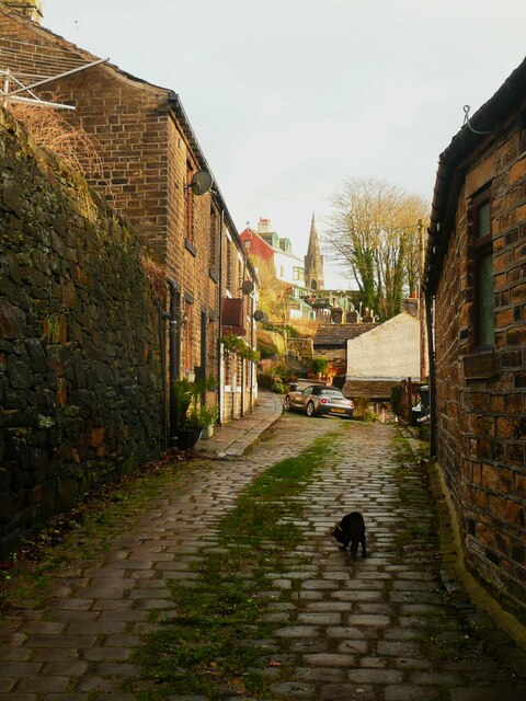
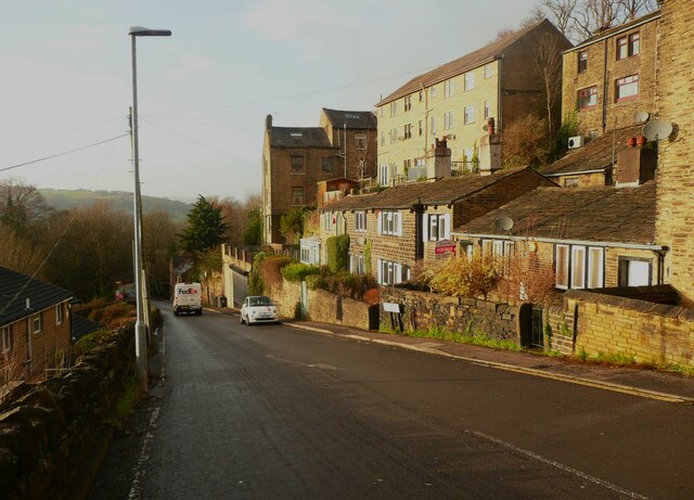
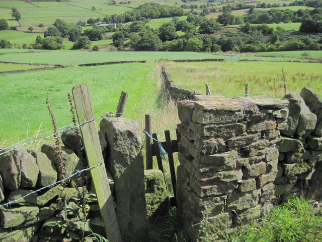
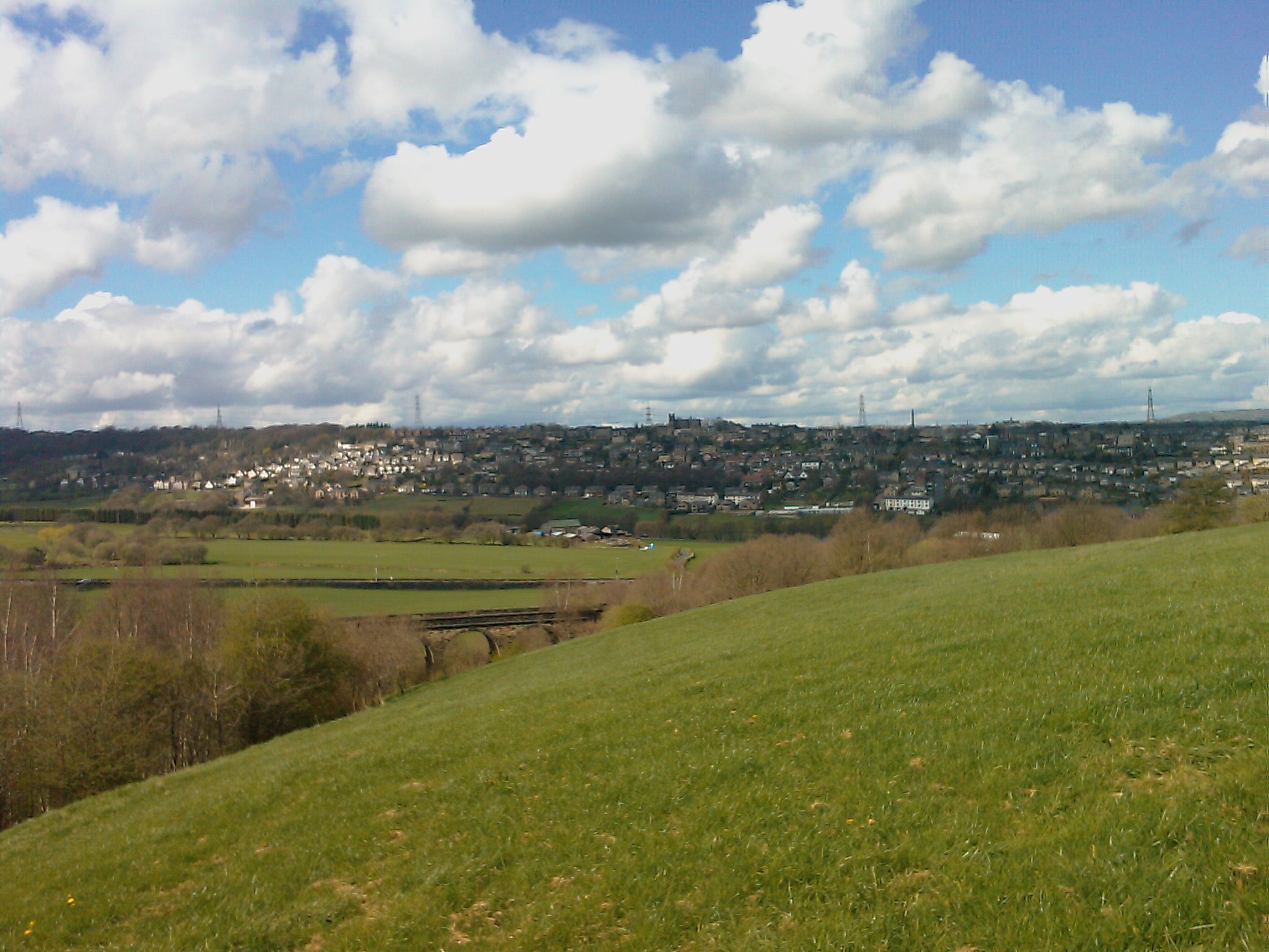
Little Bradley is a small village located in the county of Yorkshire, England. Situated in the district of Harrogate, it is nestled in the picturesque countryside, surrounded by rolling hills, lush green fields, and charming rural landscapes. The village is part of the Nidderdale Area of Outstanding Natural Beauty, renowned for its scenic beauty and tranquility.

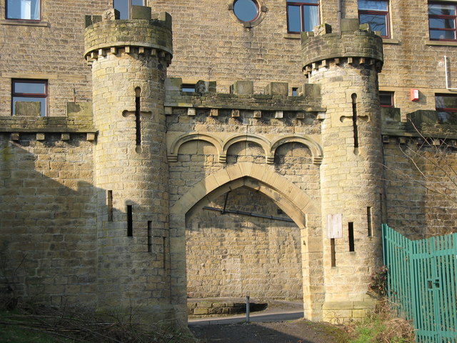
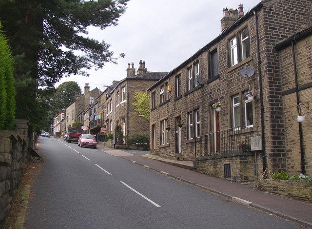
With a population of around 200 residents, Little Bradley exudes a peaceful and tight-knit community atmosphere. The village comprises a collection of traditional stone houses and cottages, adding to its character and charm. The architecture reflects the area's rich history, with some buildings dating back to the 17th century.

Whilst small in size, Little Bradley offers a range of amenities and facilities to cater to the needs of its residents. These include a local pub, village hall, and a primary school, providing a sense of community and convenience.

The village is an ideal location for nature lovers and outdoor enthusiasts due to its proximity to the stunning Yorkshire Dales National Park. Outdoor activities such as hiking, cycling, and fishing are popular among locals and visitors alike. Additionally, the nearby River Nidd provides opportunities for water-based activities.

Little Bradley offers a tranquil retreat away from the hustle and bustle of city life, providing residents with a peaceful and idyllic setting to call home. Its natural beauty, community spirit, and access to the stunning Yorkshire Dales make it a desirable place to live or visit.

If you have any feedback on the listing, please let us know in the comments section below.

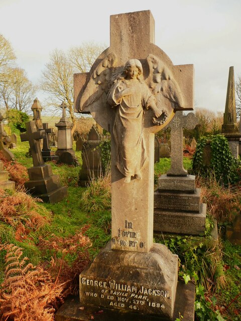
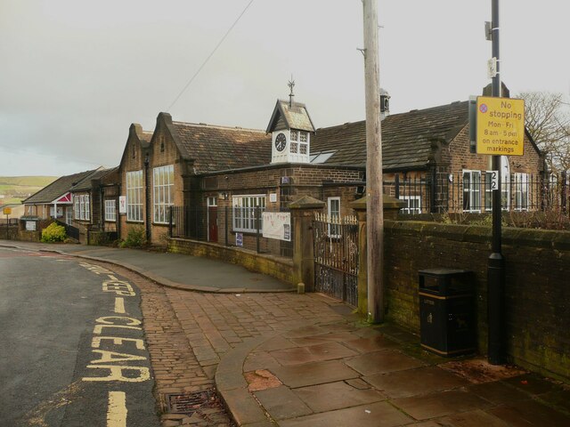
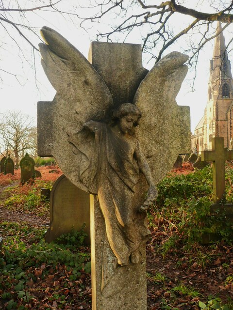
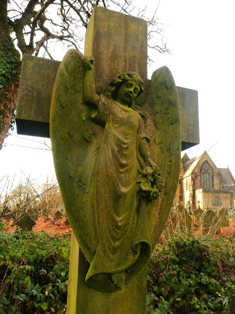
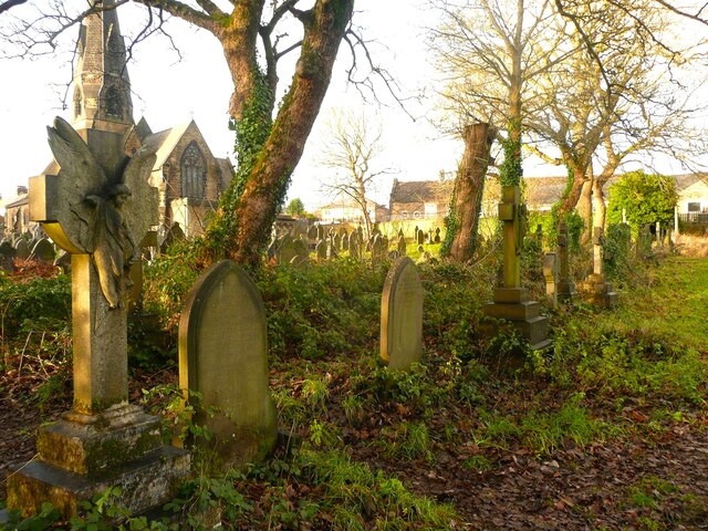
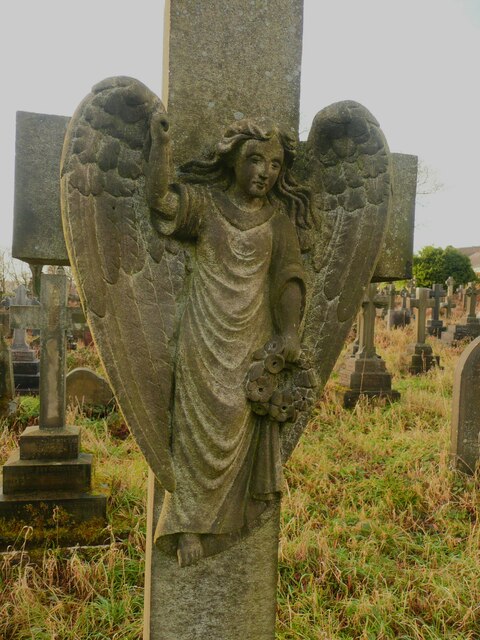
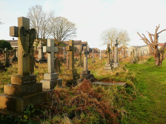
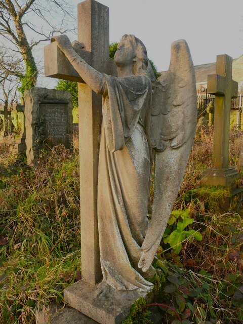
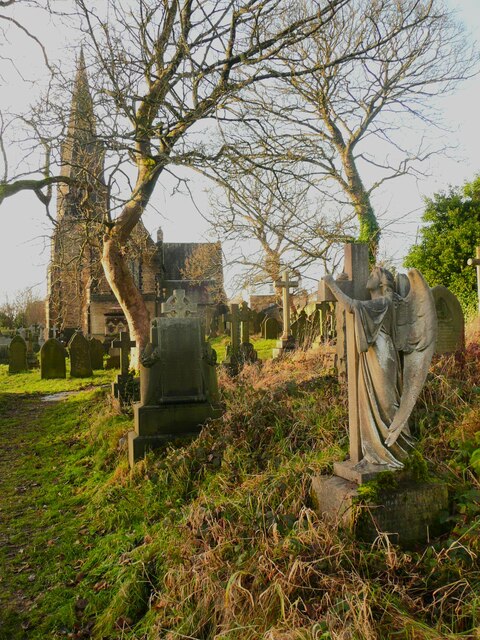
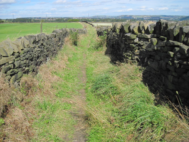
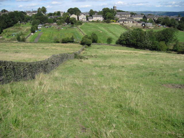
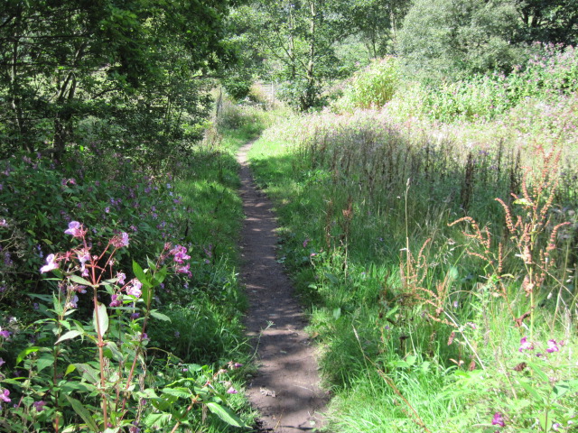
Little Bradley Images

Images are sourced within 2km of 53.683128/-1.8613214 or Grid Reference SE0920. Thanks to Geograph Open Source API. All images are credited.

Lower Skircoat Green, Skircoat, Halifax Looking up this narrow street there is an unexpected view of the spire of All Saints Church. The black object on the cobbles is a cat, who (or which?) did not pose for me.
Lower Skircoat Green, Skircoat, Halifax
Looking up this narrow street there is an unexpected view of the spire of All Saints Church. The black object on the cobbles is a cat, who (or which?) did not pose for me.
Copley Lane, Skircoat, Halifax On the right there is a pair of 'low-decker' cottages of the type common in parts of Bradford, eg in Wyke.
Copley Lane, Skircoat, Halifax
On the right there is a pair of 'low-decker' cottages of the type common in parts of Bradford, eg in Wyke.
View of the graveyard of All Saints' Church, Skircoat, Halifax This was taken near the west end of the church, from the path that goes down to join the public footpath to Salterhebble.  The church has a large graveyard with many memorial monuments, including six angels, and a mausoleum.
View of the graveyard of All Saints' Church, Skircoat, Halifax
This was taken near the west end of the church, from the path that goes down to join the public footpath to Salterhebble. The church has a large graveyard with many memorial monuments, including six angels, and a mausoleum.
Angel 1 of 6, All Saints' Church, Skircoat, Halifax She is of the type that are holding a book and pointing upwards. She has big wings and is standing on a tall pedestal. Parts of the first inscription on the base are difficult to read but the memorial is for a little boy called Henry Charles, who died in 1889.  The surname is indistinct but might be Walshaw.
Angel 1 of 6, All Saints' Church, Skircoat, Halifax
She is of the type that are holding a book and pointing upwards. She has big wings and is standing on a tall pedestal. Parts of the first inscription on the base are difficult to read but the memorial is for a little boy called Henry Charles, who died in 1889. The surname is indistinct but might be Walshaw.
Angel 2, All Saints' Church, Skircoat, Halifax She has spread wings that are protected by the cross and have avoided being damaged, and she is holding a wreath.  Unusually she is facing west rather than east, and is opposite the east end of the church.
Angel 2, All Saints' Church, Skircoat, Halifax
She has spread wings that are protected by the cross and have avoided being damaged, and she is holding a wreath. Unusually she is facing west rather than east, and is opposite the east end of the church.
Clock turret on school, Dudwell Lane, Skircoat, Halifax This is All Saints' Junior and Infants School.
Clock turret on school, Dudwell Lane, Skircoat, Halifax
This is All Saints' Junior and Infants School.
Angel 3 in the graveyard, All Saints' Church, Skircoat, Halifax This memorial is for Charles, the infant son of Mr and Mrs W Berwick, who died in 1917 aged 8 weeks.
Angel 3 in the graveyard, All Saints' Church, Skircoat, Halifax
This memorial is for Charles, the infant son of Mr and Mrs W Berwick, who died in 1917 aged 8 weeks.
Angel 4 in the graveyard of All Saints' Church, Skircoat, Halifax She has very big wings for such a young angel, and is holding a wreath. She is the memorial to Emma Jane Holdsworth, and died in 1915 aged 53.
Angel 4 in the graveyard of All Saints' Church, Skircoat, Halifax
She has very big wings for such a young angel, and is holding a wreath. She is the memorial to Emma Jane Holdsworth, and died in 1915 aged 53.
Looking up a path in All Saints' graveyard, Skircoat, Halifa#x This is the path that passes angels 3 and 4. Agel 3 is the one on the left.
Looking up a path in All Saints' graveyard, Skircoat, Halifa#x
This is the path that passes angels 3 and 4. Agel 3 is the one on the left.
Angel 5 in All Saints' Graveyard, Skircoat, Halifax She is similar to Angel 4, with big wings and a wreath, ut I think she is older and not as pretty.  She is a memorial for Martha Ann Hollas. who died in 1913 aged 61.
Angel 5 in All Saints' Graveyard, Skircoat, Halifax
She is similar to Angel 4, with big wings and a wreath, ut I think she is older and not as pretty. She is a memorial for Martha Ann Hollas. who died in 1913 aged 61.
Path in All Saints' graveyard, Skircoat, Halifax Angel 5 is on the left. There is a heavily pruned tree at a crossing of main paths.
Path in All Saints' graveyard, Skircoat, Halifax
Angel 5 is on the left. There is a heavily pruned tree at a crossing of main paths.
Angel 6 in All Saints' graveyard, Skircoat, Halifax I have not found many angel and mourner sculptures in churchyards, so to find six in this one was a surprise.  She has big wings and the one visible in this image is delicate but not damaged. I wonder what it is made of. She is the memorial for Mary Ann Gledhill. The date is covered by moss, bot on another face her husband died in 1922.
Angel 6 in All Saints' graveyard, Skircoat, Halifax
I have not found many angel and mourner sculptures in churchyards, so to find six in this one was a surprise. She has big wings and the one visible in this image is delicate but not damaged. I wonder what it is made of. She is the memorial for Mary Ann Gledhill. The date is covered by moss, bot on another face her husband died in 1922.
Looking along the path past Angel 6, All Saints' graveyard, Skircoat, Halifax The church was built in 1858 and extended (probably including the north transept) in 1874.  It is listed, Grade II.
Looking along the path past Angel 6, All Saints' graveyard, Skircoat, Halifax
The church was built in 1858 and extended (probably including the north transept) in 1874. It is listed, Grade II.
Drury Lane footpath, Stainland
Footpath towards Stainland
Footpath towards Shavey Clough
Shaw Park Gateway This mock castle style gateway forms one of the entrances to Shaw Park
Shaw Park Gateway
This mock castle style gateway forms one of the entrances to Shaw Park
Show me another place!

Little Bradley is located at Grid Ref: SE0920 (Lat: 53.683128, Lng: -1.8613214)

Division: West Riding

Unitary Authority: Calderdale

Police Authority: West Yorkshire

What 3 Words

///acid.logs.behave. Near Holywell Green, West Yorkshire

Related Wikis

West Vale railway station

West Vale railway station served on the Stainland Branch from 1875 to 1929. == History == The station was opened on New years day 1875, along with the...

West Vale

West Vale is a village in Calderdale, West Yorkshire, England. The village falls within the Greetland and Stainland parish of the Calderdale Council....

Rochdale Road Halt railway station

Rochdale Road Halt served the village of Greetland, West Yorkshire, England, on the Stainland Branch from 1907 to 1929. == Location == The halt was located...

The Brooksbank School

The Brooksbank School is a secondary school with academy status in Elland, near Halifax in West Yorkshire, England. It is a sports college, as well as...

Greetland

Greetland is a village in the metropolitan borough of Calderdale in West Yorkshire, England. It lies in the Calderdale Ward of Greetland and Stainland...

Holywell Green

Holywell Green is a village in the civil parish of Stainland and District, in the Calderdale, district, in the county of West Yorkshire, England. The village...

Stainland and Holywell Green railway station

Stainland and Holywell Green railway station served the villages of Stainland and Holywell Green in West Yorkshire, England from 1875 until 1929. Goods...

Greetland railway station

Greetland railway station was a railway station that served the village of Greetland in West Yorkshire, England. == History == The station was originally...

Related Videos

Halifax Piece Hall is stunning #travel

Halifax Piece Hall is a stunning place and everyone should travel here and pay it a visit sometime Amazing tourist attraction as ...

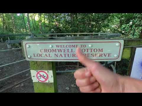
Cromwell Bottom Nature Reserve West Yorkshire // Walking English Parks // Walk with me //

Welcome to my latest walking video around a little know beautiful nature reserve found in West Yorkshire, England, called ...

Best Travel Mag: Best Places To Travel 2023 @GuidePrice Channel

Best Travel Mag: Top 10 Best Places To Travel 2023 https://cheeringup.info/online/cheap-holidays/ @GuidePrice Channel ...

Holiday Travel Review @GuidePrice Channel

Cheap Places To Go On Holiday: Cheap holidays love holidays! https://cheeringup.info/cheap-places-to-go-on-holiday/ YouTube ...

Nearby Amenities

Located within 500m of 53.683128,-1.8613214
Turning Circle
Lat/Long: 53.6872126/-1.8618657
Bus Stop
Stainland Road Dean Street
Local Ref: 45018701
Naptan AtcoCode: 450018701
Naptan Bearing: SW
Naptan CommonName: Stainland Road Dean Street
Naptan Crossing: Dean Street
Naptan Indicator: Stop 45018701
Naptan Landmark: E Binns & Sons Ltd Engineers
Naptan PlusbusZoneRef: LEEDS
Naptan ShortCommonName: Dean Street
Naptan Street: Stainland Road
Naptan Verified: no
Source: naptan_import
Lat/Long: 53.6861522/-1.8570902
Bus Stop
Stainland Road Bradley Lane
Local Ref: 45021557
Naptan AtcoCode: 450021557
Naptan Bearing: SW
Naptan CommonName: Stainland Road Bradley Lane
Naptan Crossing: Bradley Lane
Naptan Indicator: Stop 45021557
Naptan PlusbusZoneRef: LEEDS
Naptan ShortCommonName: Bradley Lane
Naptan Street: Stainland Road
Naptan Verified: no
Source: naptan_import
Lat/Long: 53.6812542/-1.8654036
Bus Stop
Stainland Road
Local Ref: 45021559
Naptan AtcoCode: 450021559
Naptan Bearing: SW
Naptan CommonName: Stainland Road
Naptan Crossing: Long Heys-Green Lane
Naptan Indicator: Stop 45021559
Naptan PlusbusZoneRef: LEEDS
Naptan ShortCommonName: Long Heys
Naptan Street: Stainland Road
Naptan Verified: no
Source: naptan_import
Lat/Long: 53.6828603/-1.862976
Bus Stop
Stainland Road Little Bradley
Local Ref: 45021560
Naptan AtcoCode: 450021560
Naptan Bearing: SE
Naptan CommonName: Stainland Road Little Bradley
Naptan Crossing: Little Bradley
Naptan Indicator: Stop 45021560
Naptan PlusbusZoneRef: LEEDS
Naptan ShortCommonName: Little Bradley
Naptan Street: Stainland Road
Naptan Verified: no
Shelter: yes
Source: naptan_import
Lat/Long: 53.6832465/-1.8626719
Bus Stop
Stainland Road Queen Street
Local Ref: 45021561
Naptan AtcoCode: 450021561
Naptan Bearing: SW
Naptan CommonName: Stainland Road Queen Street
Naptan Crossing: Queen Street
Naptan Indicator: Stop 45021561
Naptan Landmark: The Queen PH
Naptan PlusbusZoneRef: LEEDS
Naptan ShortCommonName: Queen Street
Naptan Street: Stainland Road
Naptan Verified: no
Source: naptan_import
Lat/Long: 53.6851475/-1.8587441
Bus Stop
Saddleworth Road Stainland Road
Bus: yes
Local Ref: 45021587
Naptan AtcoCode: 450021587
Naptan Bearing: E
Naptan CommonName: Saddleworth Road Stainland Road
Naptan Crossing: Stainland Road
Naptan Indicator: Stop 45021587
Naptan Landmark: West Vale Works
Naptan PlusbusZoneRef: LEEDS
Naptan ShortCommonName: Stainland Road
Naptan Street: Saddleworth Road
Naptan Verified: no
Public Transport: platform
Source: naptan_import
Lat/Long: 53.6866469/-1.8573762
Bus Stop
Saddleworth Road
Bus: yes
Local Ref: 45021588
Naptan AtcoCode: 450021588
Naptan Bearing: W
Naptan CommonName: Saddleworth Road
Naptan Crossing: Stainland Road
Naptan Indicator: Stop 45021588
Naptan Landmark: Cricket Ground
Naptan PlusbusZoneRef: LEEDS
Naptan ShortCommonName: Stainland Road
Naptan Street: Saddleworth Road
Naptan Verified: no
Public Transport: platform
Source: naptan_import
Lat/Long: 53.6865482/-1.8574826
Bus Stop
Saddleworth Road High Meadows
Local Ref: 45021589
Naptan AtcoCode: 450021589
Naptan Bearing: W
Naptan CommonName: Saddleworth Road High Meadows
Naptan Crossing: High Meadows
Naptan Indicator: Stop 45021589
Naptan PlusbusZoneRef: LEEDS
Naptan ShortCommonName: High Meadows
Naptan Street: Saddleworth Road
Naptan Verified: no
Source: naptan_import
Lat/Long: 53.6857653/-1.8644959
Bus Stop
Stainland Road Queen Street
Local Ref: 45021600
Naptan AtcoCode: 450021600
Naptan Bearing: NE
Naptan CommonName: Stainland Road Queen Street
Naptan Crossing: Queen Street
Naptan Indicator: Stop 45021600
Naptan Landmark: The Queen PH
Naptan PlusbusZoneRef: LEEDS
Naptan ShortCommonName: Queen Street
Naptan Street: Stainland Road
Naptan Verified: no
Source: naptan_import
Lat/Long: 53.6854527/-1.8584553
Bus Stop
Stainland Road Health Centre
Local Ref: 45028208
Naptan AtcoCode: 450028208
Naptan Bearing: NE
Naptan CommonName: Stainland Road Health Centre
Naptan Crossing: Black Brook Way
Naptan Indicator: Stop 45028208
Naptan Landmark: Health Centre
Naptan PlusbusZoneRef: LEEDS
Naptan ShortCommonName: Stainland Road
Naptan Street: Stainland Road
Naptan Verified: no
Source: naptan_import
Lat/Long: 53.6837219/-1.8618527
Bus Stop
Stainland Road Health Centre
Local Ref: 45028210
Naptan AtcoCode: 450028210
Naptan Bearing: SW
Naptan CommonName: Stainland Road Health Centre
Naptan Crossing: Nr-At Green Lane
Naptan Indicator: Stop 45028210
Naptan Landmark: Health Centre
Naptan PlusbusZoneRef: LEEDS
Naptan ShortCommonName: Stainland Road
Naptan Street: Stainland Road
Naptan Verified: no
Source: naptan_import
Lat/Long: 53.683587/-1.8617321
Stainland Road Bradley Lane
Local Ref: 45051111
Naptan AtcoCode: 450051111
Naptan Bearing: NE
Naptan BusStopType: CUS
Naptan CommonName: Stainland Road Bradley Lane
Naptan Indicator: Stop 45051111
Naptan PlusbusZoneRef: LEEDS
Naptan ShortCommonName: Bradley Lane
Naptan Street: Stainland Road
Naptan Verified: no
Source: naptan_import
Lat/Long: 53.6813262/-1.8655397
Saddleworth Road High Meadows
Local Ref: 45051112
Naptan AtcoCode: 450051112
Naptan Bearing: E
Naptan BusStopType: CUS
Naptan CommonName: Saddleworth Road High Meadows
Naptan Indicator: Stop 45051112
Naptan PlusbusZoneRef: LEEDS
Naptan ShortCommonName: Woodfield Drive
Naptan Street: Saddleworth Road
Naptan Verified: no
Source: naptan_import
Lat/Long: 53.6858642/-1.8645107
Barrier: cycle_barrier
Lat/Long: 53.6865951/-1.8596899
Post Box
Operator: Royal Mail
Ref: HX4 246
Lat/Long: 53.6847131/-1.8556855
Post Box
Operator: Royal Mail
Ref: HX4 103
Lat/Long: 53.6831769/-1.8628153
Turning Circle
Lat/Long: 53.6847985/-1.8652006
Turning Circle
Lat/Long: 53.6874453/-1.8599661
Turning Circle
Lat/Long: 53.6806527/-1.8600882
Turning Loop
Ravenstone Drive
Lat/Long: 53.6810728/-1.8606837
Turning Circle
Ravenstone Drive
Lat/Long: 53.6820769/-1.8602043
Turning Circle
Lat/Long: 53.683986/-1.8566038
Little Bradley
Place: hamlet
Source: npe
Lat/Long: 53.6827043/-1.861404
Parcel Locker
Amazon Hub Locker
Brand: Amazon Hub
Brand Wikidata: Q16974764
Operator: Amazon
Lat/Long: 53.683797/-1.8617052
Crossing
Crossing: traffic_signals
Lat/Long: 53.6864649/-1.8566455
GPC Plumbing & Heating Ltd.
Addr City: Halifax
Addr Country: GB
Addr Housenumber: 61
Addr Postcode: HX4 8BD
Addr Street: Stainland Road
Addr Suburb: West Vale
Craft: plumber
Phone: +44 1422 646 121
Website: https://www.gpcltd.co.uk/
Lat/Long: 53.6862028/-1.8568349
Barrier: bollard
Lat/Long: 53.6849804/-1.8562381
Power: substation
Substation: minor_distribution
Lat/Long: 53.6829514/-1.8612437
Barrier: bollard
Bicycle: yes
Foot: yes
Horse: yes
Lat/Long: 53.6840458/-1.85919
West Vale
Historic Railway: station
Railway: site
Wikidata: Q16248745
Wikipedia: en:West Vale railway station
Lat/Long: 53.6835614/-1.8593965
The data included in this document is from www.openstreetmap.org. The data is made available under ODbL.

Have you been to Little Bradley?

Leave your review of Little Bradley below (or comments, questions and feedback).