Littelmill

Settlement in Nairnshire

Scotland

Littelmill

Midfleenas Farm
Midfleenas Farm Credit: Douglas Nelson

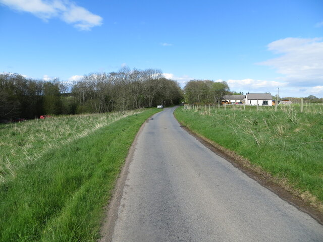
Littelmill is a small village located in the county of Nairnshire, in the Highland region of Scotland. Situated approximately 5 miles southeast of the town of Nairn, the village is nestled amidst picturesque countryside and offers a tranquil and idyllic setting for its residents.

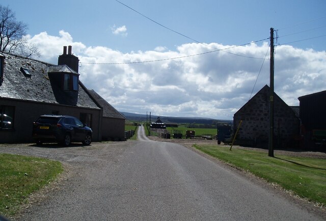
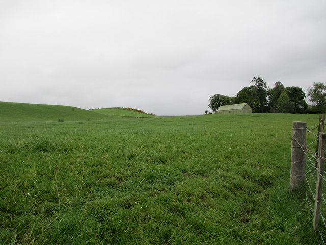
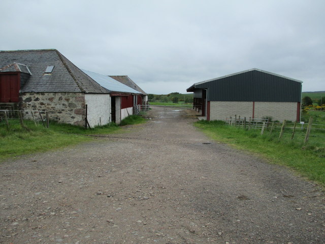
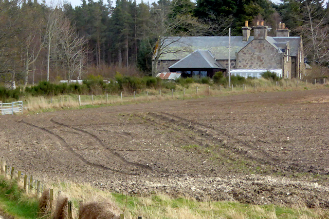
The village of Littelmill is home to a close-knit community, with a population of around 200 people. The area is primarily residential, consisting of a mix of traditional stone-built houses and more modern dwellings. The village retains its rural charm, with well-maintained gardens and green spaces enhancing its aesthetic appeal.

Although small in size, Littelmill boasts a number of amenities for its residents. These include a local primary school, providing education for children from the village and surrounding areas. There is also a village hall, serving as a hub for community gatherings, events, and social activities.

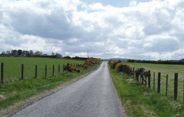
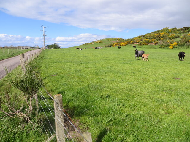
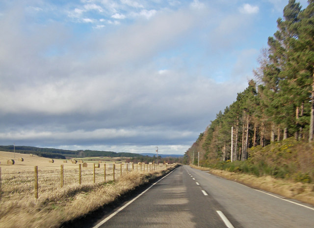
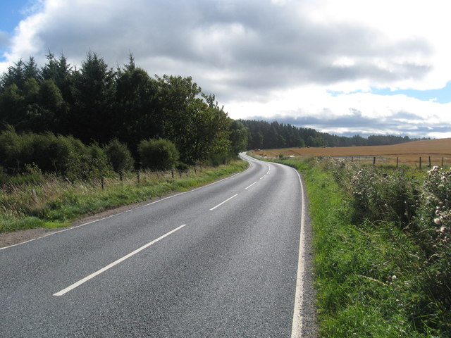
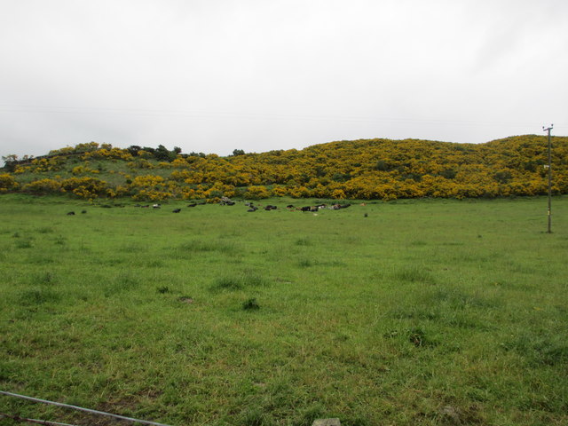
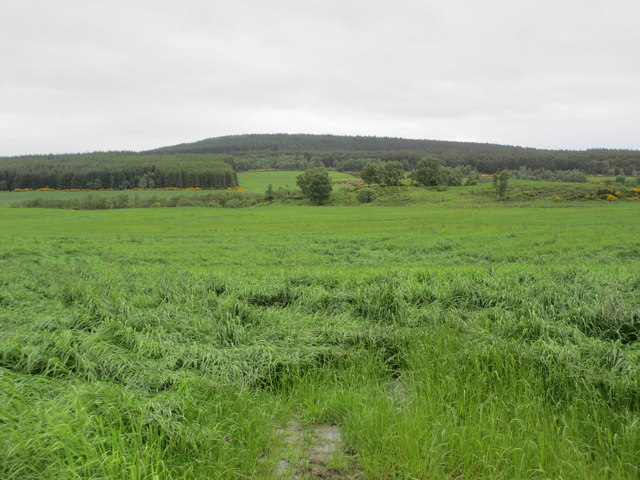
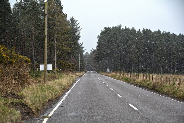
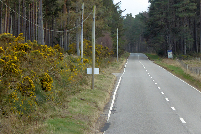
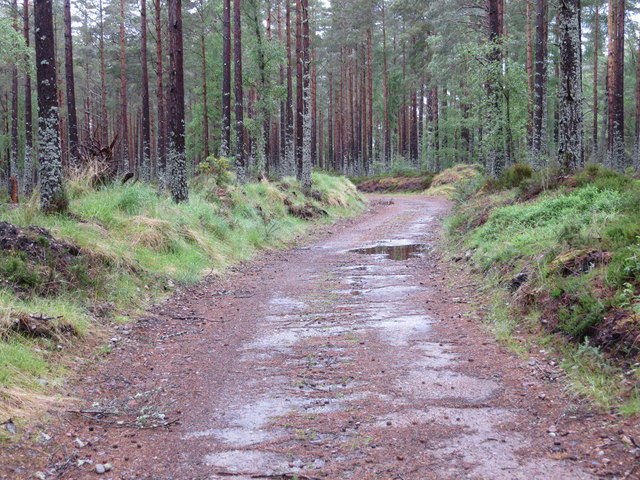
Littelmill is surrounded by breathtaking natural beauty, with rolling hills, lush green fields, and scenic walking trails in close proximity. Outdoor enthusiasts can take advantage of the numerous opportunities for hiking, cycling, and exploring the nearby countryside.

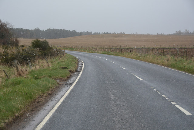
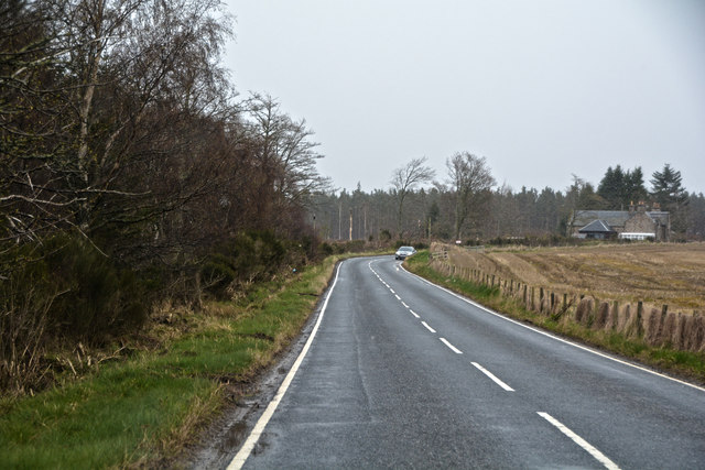
While Littelmill provides a peaceful and serene lifestyle, it is conveniently located within easy reach of larger towns and cities. The nearby town of Nairn offers a wider range of amenities, including shops, restaurants, and leisure facilities, ensuring that residents have access to everything they need.

In summary, Littelmill is a charming village in Nairnshire, Scotland, which offers a close-knit community, stunning natural surroundings, and a peaceful way of life.

If you have any feedback on the listing, please let us know in the comments section below.
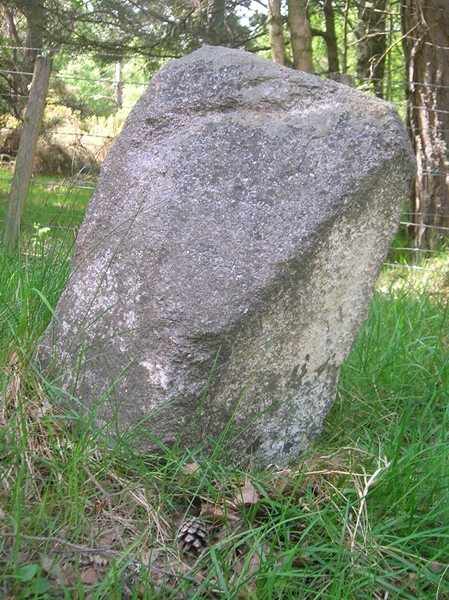
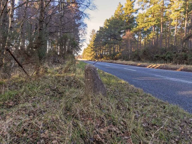
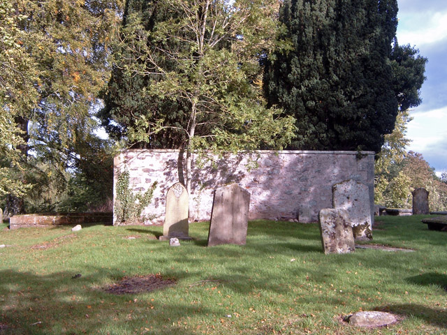
Littelmill Images

Images are sourced within 2km of 57.528874/-3.8152336 or Grid Reference NH9150. Thanks to Geograph Open Source API. All images are credited.

Midfleenas Farm
Midfleenas Farm
Minor road south of Midfleenas
Pastureland hosting cows and their calves near Midfeenas Looking north-eastward.
Pastureland hosting cows and their calves near Midfeenas
Looking north-eastward.
Minor road approaching Littlemill Looking north-eastward.
Minor road approaching Littlemill
Looking north-eastward.
A939 approaching Achnatone House
The A939 heading in a southerly direction To the south of Littlemill.
The A939 heading in a southerly direction
To the south of Littlemill.
Farmland at Midfleenas
Achavraat Farm
Achavraat Farm
Rough grazing near Midfleenas Farm
Arable land near Achamore
Highland : The A939 Looking along the A939 as it heads through the countryside.
Highland : The A939
Looking along the A939 as it heads through the countryside.
Highland : The A939 Looking along the A939 as it heads through the countryside.
Highland : The A939
Looking along the A939 as it heads through the countryside.
Highland : The A939 Heading along the A939.
Highland : The A939
Heading along the A939.
Achnatone House
Achnatone House
A939 Achnatone Wood The A939 'Lecht Road' connects the A96 at Nairn on the Moray Coast with the A95 Grantown on Spey, then it continues to the A93 at Ballater by way of the Grampian Mountains, running for a total of nearly 60 miles. For much of its route, it follows the line of the Old Military Road.
A939 Achnatone Wood
The A939 'Lecht Road' connects the A96 at Nairn on the Moray Coast with the A95 Grantown on Spey, then it continues to the A93 at Ballater by way of the Grampian Mountains, running for a total of nearly 60 miles. For much of its route, it follows the line of the Old Military Road.
Track through Wood of Achnatone Looking north-westward.
Track through Wood of Achnatone
Looking north-westward.
Old Milestone by the A939, Achnatone, Nairn parish Stone post by the A939, in parish of Nairn (District), Achnatone, 2m from road edge in woods.

: (Nairn / 6) : : (Grantown / 17) :

Surveyed

Milestone Society National ID: HI_NAGS06
Old Milestone by the A939, Achnatone, Nairn parish
Stone post by the A939, in parish of Nairn (District), Achnatone, 2m from road edge in woods. : (Nairn / 6) : : (Grantown / 17) : Surveyed Milestone Society National ID: HI_NAGS06
Milestone on the A939 at Achnatone There is an OS cut mark on the rear of the milestone, but nothing discernable on the side facing the road
Milestone on the A939 at Achnatone
There is an OS cut mark on the rear of the milestone, but nothing discernable on the side facing the road
Show me another place!

Littelmill is located at Grid Ref: NH9150 (Lat: 57.528874, Lng: -3.8152336)

Unitary Authority: Highland

Police Authority: Highlands and Islands

What 3 Words

///double.papers.picturing. Near Nairn, Highland

Nearby Locations

Littelmill Littlemill

Related Wikis

Littlemill

Littlemill is a village located close to Nairn in Nairnshire, Scottish Highlands and is in the Scottish council area of Highland. == References ==

Regoul

Regoul is a small rural hamlet, located 4.5 miles south of Nairn, in Nairnshire, Scottish Highlands and is in the Scottish council area of Highland....

Rait Castle

Rait Castle is a ruined hall-house castle dating from the thirteenth century, situated just south of Nairn near Inverness, Scotland. It is a scheduled...

Geddes, Highland

Geddes (Scottish Gaelic: Geadais) is a small village located 5 km to the south of Nairn, in the Highland council area of Scotland. == Geddes House == Geddes...

Nearby Amenities

Located within 500m of 57.528874,-3.8152336
Bus Stop
Junction
Local Ref: AT
Naptan AtcoCode: 6700712931
Naptan Bearing: NW
Naptan CommonName: Junction
Naptan Indicator: at
Naptan Landmark: Littlemill Road
Naptan NaptanCode: 45328385
Naptan Street: A939
Naptan Verified: no
Source: naptan_import
Lat/Long: 57.5293638/-3.8147228
Post Box
Collection Times: Mo-Fr 12:15; Sa 12:15
Post Box Type: lamp
Ref: IV12 22
Royal Cypher: scottish_crown
Lat/Long: 57.529324/-3.8147008
Shelter
Shelter Type: public_transport
Lat/Long: 57.5292296/-3.8145211
Advertising: board
Lat/Long: 57.5292304/-3.8145694
Telephone
Booth: K6
Covered: booth
Lat/Long: 57.5286018/-3.8155645
Power: pole
Lat/Long: 57.53286/-3.8135249
Power: pole
Lat/Long: 57.53226/-3.8141431
Power: pole
Lat/Long: 57.5317485/-3.8147007
Power: pole
Lat/Long: 57.5312175/-3.8152462
Power: pole
Lat/Long: 57.5306956/-3.815799
Power: pole
Lat/Long: 57.5301606/-3.8163469
Power: pole
Lat/Long: 57.5297962/-3.8167397
Power: pole
Lat/Long: 57.5291753/-3.8173846
Power: pole
Lat/Long: 57.5285363/-3.8180682
Power: pole
Lat/Long: 57.5280794/-3.818541
Power: pole
Lat/Long: 57.5274233/-3.8192223
Power: pole
Lat/Long: 57.5268584/-3.8197969
Power: pole
Lat/Long: 57.5262401/-3.8204684
Power: pole
Lat/Long: 57.5256999/-3.8210236
Power: pole
Lat/Long: 57.533119/-3.8140582
Power: pole
Lat/Long: 57.5246559/-3.8132909
Power: pole
Lat/Long: 57.5250816/-3.8141758
Power: pole
Lat/Long: 57.5255085/-3.8150753
Power: pole
Lat/Long: 57.5257949/-3.8160499
Power: pole
Lat/Long: 57.5260514/-3.8169397
Power: pole
Lat/Long: 57.5263221/-3.8179676
Power: pole
Lat/Long: 57.5265369/-3.8187095
The data included in this document is from www.openstreetmap.org. The data is made available under ODbL.

Have you been to Littelmill?

Leave your review of Littelmill below (or comments, questions and feedback).