Littlemill

Settlement in Nairnshire

Scotland

Littlemill

Achavraat North of the big forest now, and the main use of the land is cattle rearing.
Achavraat Credit: Richard Webb

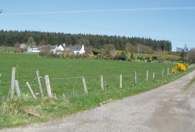
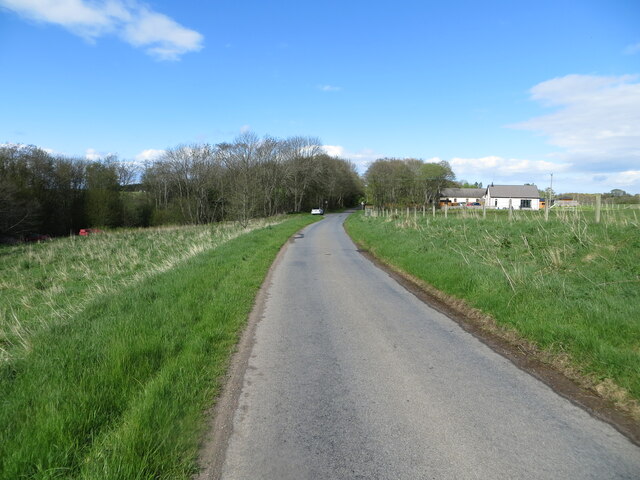
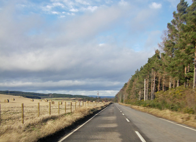
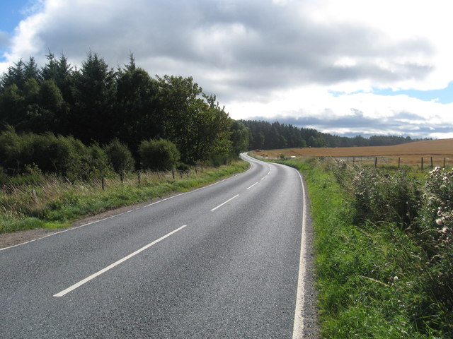
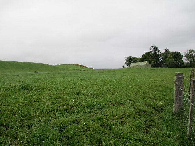
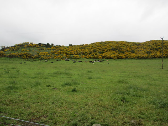
Littlemill is a small rural village located in Nairnshire, a historic county in the Highland region of Scotland. Situated approximately 10 miles southwest of the town of Nairn, Littlemill is surrounded by picturesque countryside and offers a tranquil setting for its residents.

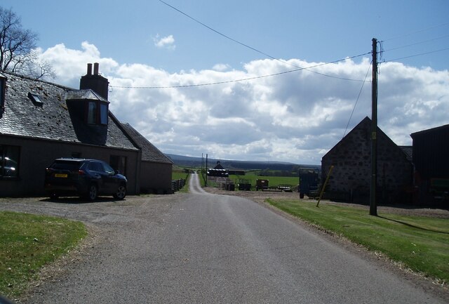
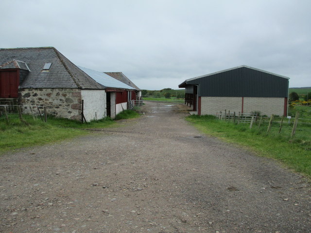
The village is characterized by its charming traditional stone houses, many of which date back several centuries. The architecture reflects the area's rich history and provides a glimpse into the past. Littlemill is also known for its well-manicured gardens and vibrant floral displays that add to its aesthetic appeal.

Despite its small size, Littlemill has a strong sense of community, with a tight-knit population that fosters a friendly and welcoming atmosphere. The village has a primary school, a local church, and a village hall, which serves as a central meeting place for various community events and gatherings.

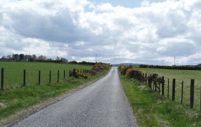
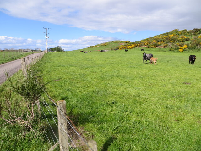
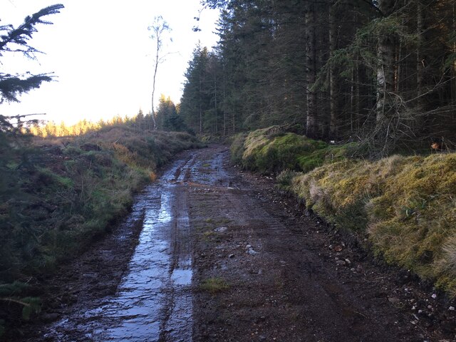
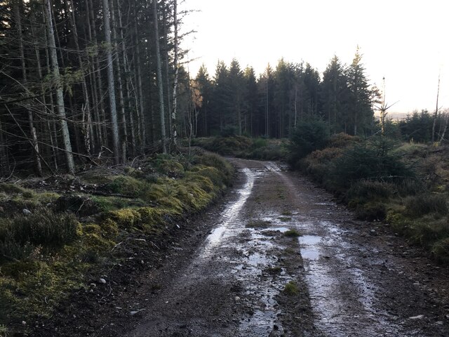
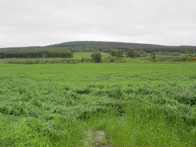
The surrounding countryside offers ample opportunities for outdoor activities, including hiking, cycling, and fishing. The nearby River Nairn is particularly popular among anglers, attracting visitors from across the region.

While Littlemill may lack some of the amenities found in larger towns, residents enjoy a peaceful and idyllic lifestyle. The village's close proximity to Nairn ensures that essential services and amenities are within easy reach, including shops, restaurants, and healthcare facilities.

Overall, Littlemill is a charming village that offers a tranquil retreat for those seeking a slower pace of life amidst the beautiful Scottish countryside.

If you have any feedback on the listing, please let us know in the comments section below.
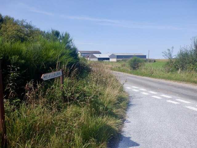
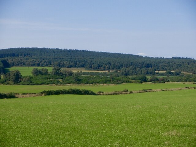
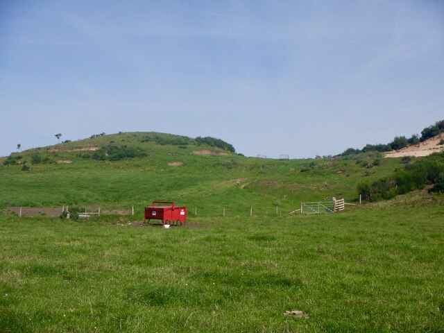
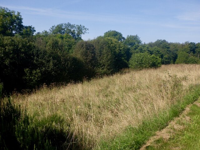
Littlemill Images

Images are sourced within 2km of 57.526982/-3.8218367 or Grid Reference NH9150. Thanks to Geograph Open Source API. All images are credited.

Achavraat North of the big forest now, and the main use of the land is cattle rearing.
Achavraat
North of the big forest now, and the main use of the land is cattle rearing.
Fields, Achavraat View towards The Ord.
Fields, Achavraat
View towards The Ord.
Grassland, Midfleenas The ridge in the background is a glacial deposit and has been quarried for gravel.
Grassland, Midfleenas
The ridge in the background is a glacial deposit and has been quarried for gravel.
Unused ground, Littlemill An ungrazed, unmown and unfenced bit of grassland beside the road and Black Burn.  Will probably end up sprouting a glass gable.
Unused ground, Littlemill
An ungrazed, unmown and unfenced bit of grassland beside the road and Black Burn. Will probably end up sprouting a glass gable.
Midfleenas Farm
Midfleenas Farm
Minor road south of Midfleenas
Newlands of Urchany
Newlands of Urchany
Pastureland hosting cows and their calves near Midfeenas Looking north-eastward.
Pastureland hosting cows and their calves near Midfeenas
Looking north-eastward.
Minor road approaching Littlemill Looking north-eastward.
Minor road approaching Littlemill
Looking north-eastward.
Forestry road, The Ord
A939 approaching Achnatone House
Ordnance Survey  Flush Bracket 11946 This can be found on the wall of a building at Achavraat.
For more detail see : <span class="nowrap"><a title="http://www.bench-marks.org.uk/bm22668" rel="nofollow ugc noopener" href="http://www.bench-marks.org.uk/bm22668">Link</a><img style="margin-left:2px;" alt="External link" title="External link - shift click to open in new window" src="https://s1.geograph.org.uk/img/external.png" width="10" height="10"/></span>
Ordnance Survey Flush Bracket 11946
This can be found on the wall of a building at Achavraat. For more detail see : LinkExternal link
The A939 heading in a southerly direction To the south of Littlemill.
The A939 heading in a southerly direction
To the south of Littlemill.
Farmland at Midfleenas
Achavraat Farm
Achavraat Farm
Rough grazing near Midfleenas Farm
Arable land near Achamore
Show me another place!

Littlemill is located at Grid Ref: NH9150 (Lat: 57.526982, Lng: -3.8218367)

Unitary Authority: Highland

Police Authority: Highlands and Islands

What 3 Words

///facelift.decreased.inhales. Near Nairn, Highland

Nearby Locations

Littelmill Littlemill

Related Wikis

Littlemill

Littlemill is a village located close to Nairn in Nairnshire, Scottish Highlands and is in the Scottish council area of Highland. == References ==

Regoul

Regoul is a small rural hamlet, located 4.5 miles south of Nairn, in Nairnshire, Scottish Highlands and is in the Scottish council area of Highland....

Geddes, Highland

Geddes (Scottish Gaelic: Geadais) is a small village located 5 km to the south of Nairn, in the Highland council area of Scotland. == Geddes House == Geddes...

Rait Castle

Rait Castle is a ruined hall-house castle dating from the thirteenth century, situated just south of Nairn near Inverness, Scotland. It is a scheduled...

Nearby Amenities

Located within 500m of 57.526982,-3.8218367
Post Box
Collection Times: Mo-Fr 12:15; Sa 12:15
Post Box Type: lamp
Ref: IV12 22
Royal Cypher: scottish_crown
Lat/Long: 57.529324/-3.8147008
Telephone
Booth: K6
Covered: booth
Lat/Long: 57.5286018/-3.8155645
Power: pole
Lat/Long: 57.5301606/-3.8163469
Power: pole
Lat/Long: 57.5297962/-3.8167397
Power: pole
Lat/Long: 57.5291753/-3.8173846
Power: pole
Lat/Long: 57.5285363/-3.8180682
Power: pole
Lat/Long: 57.5280794/-3.818541
Power: pole
Lat/Long: 57.5274233/-3.8192223
Power: pole
Lat/Long: 57.5268584/-3.8197969
Power: pole
Lat/Long: 57.5262401/-3.8204684
Power: pole
Lat/Long: 57.5256999/-3.8210236
Power: pole
Lat/Long: 57.5251597/-3.8215909
Power: pole
Lat/Long: 57.5247522/-3.8220104
Power: pole
Lat/Long: 57.5242654/-3.8225243
Power: pole
Lat/Long: 57.5238983/-3.8229038
Power: pole
Lat/Long: 57.5235351/-3.8232965
Power: pole
Lat/Long: 57.5229831/-3.8238541
Power: pole
Lat/Long: 57.523112/-3.8227195
Power: pole
Lat/Long: 57.5227644/-3.822254
Power: pole
Lat/Long: 57.5260618/-3.826675
Power: pole
Lat/Long: 57.5259576/-3.8262604
Power: pole
Lat/Long: 57.5256869/-3.8252567
Power: pole
Lat/Long: 57.5253719/-3.8241075
Power: pole
Lat/Long: 57.5250894/-3.8231838
Power: pole
Lat/Long: 57.5255085/-3.8150753
Power: pole
Lat/Long: 57.5257949/-3.8160499
Power: pole
Lat/Long: 57.5260514/-3.8169397
Power: pole
Lat/Long: 57.5263221/-3.8179676
Power: pole
Lat/Long: 57.5265369/-3.8187095
The data included in this document is from www.openstreetmap.org. The data is made available under ODbL.

Have you been to Littlemill?

Leave your review of Littlemill below (or comments, questions and feedback).