Little Abbots
Settlement in Wiltshire
England
Little Abbots
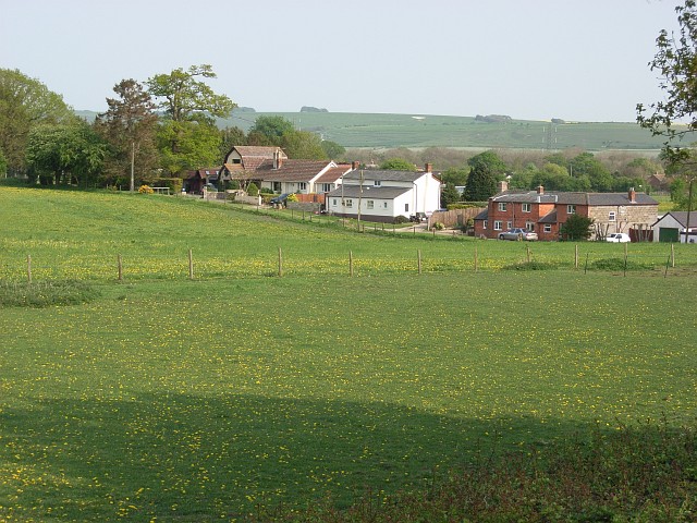
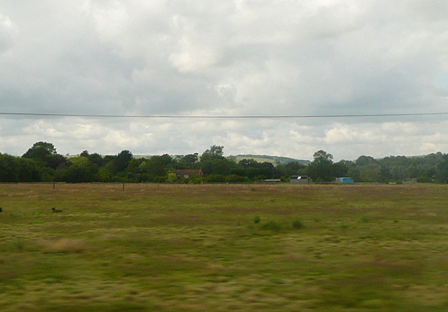
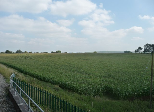
Little Abbots is a charming village located in the county of Wiltshire, England. Situated in the southern part of the county, it is nestled amidst picturesque countryside and rolling green hills. With a population of around 500 residents, it is a tight-knit community known for its tranquil and idyllic setting.
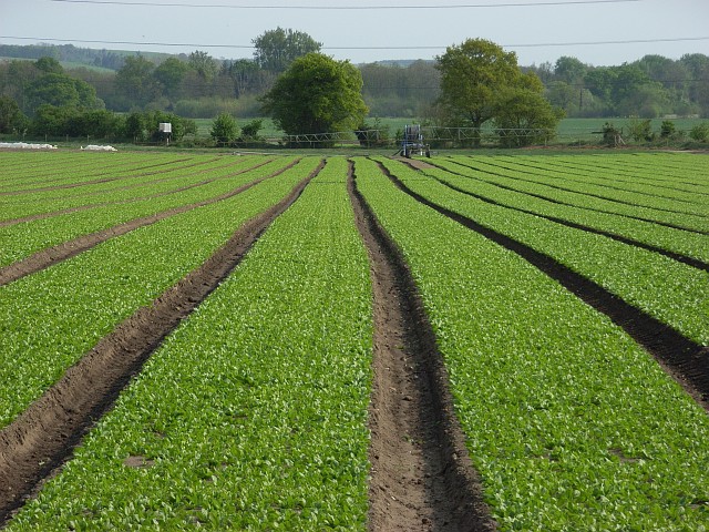
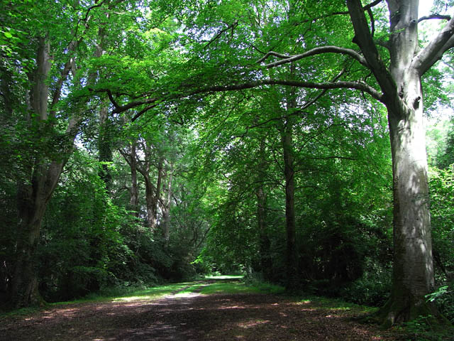
The village is surrounded by lush farmlands, enchanting woodlands, and meandering streams, offering residents and visitors ample opportunities for outdoor activities such as hiking, cycling, and fishing. Its scenic beauty attracts nature enthusiasts and photographers alike, who come to capture its unspoiled landscapes.
Little Abbots boasts a rich history dating back to the medieval period. The village is home to several historic buildings, including a 14th-century church that serves as the heart of the community. The church's architecture is a testament to the village's past, with its ornate stained glass windows and intricately carved stone accents.
Despite its small size, Little Abbots is not lacking in amenities. The village has a well-regarded primary school, a local pub offering traditional English fare, and a small convenience store for daily essentials. Additionally, the nearby town of Devizes provides access to a wider range of services, including supermarkets, healthcare facilities, and secondary schools.
Little Abbots is a close-knit community that prides itself on its strong community spirit. Regular village events, such as summer fairs and Christmas markets, bring residents together and foster a sense of belonging. With its picturesque setting, rich history, and friendly atmosphere, Little Abbots is an ideal destination for those seeking a peaceful and quintessentially English village experience.
If you have any feedback on the listing, please let us know in the comments section below.
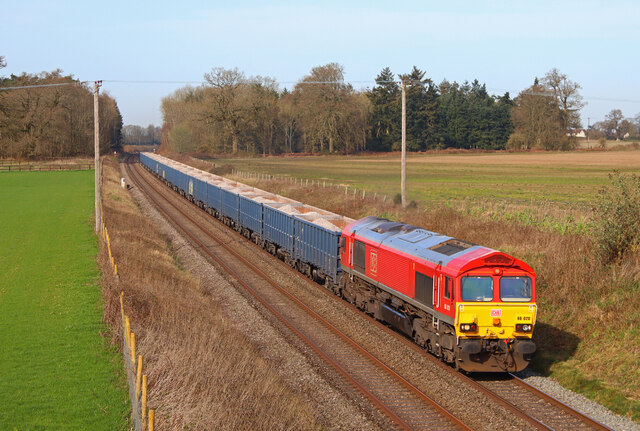
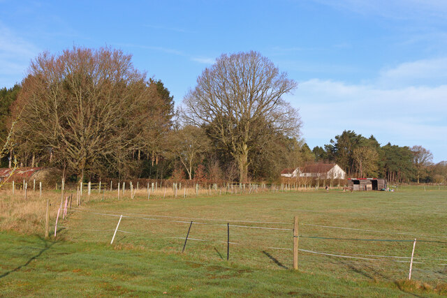
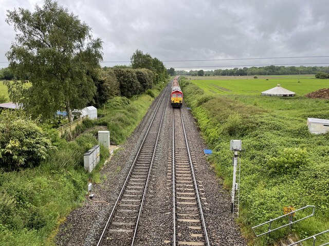
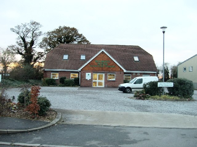
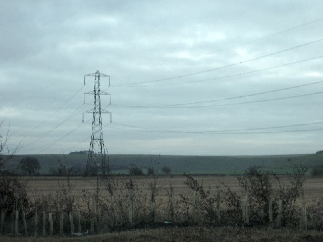
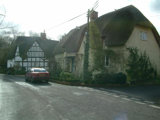
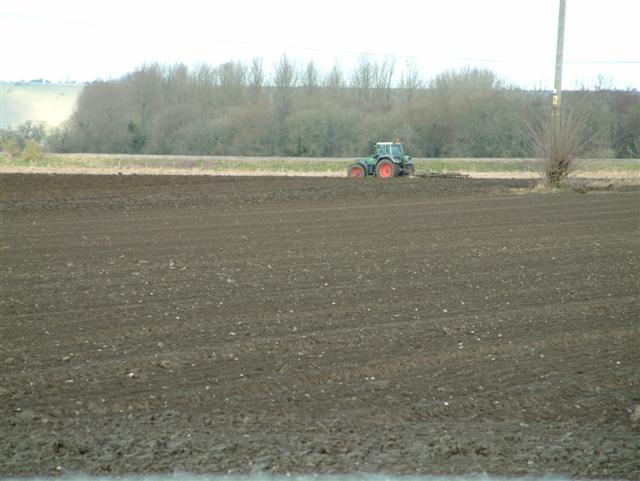
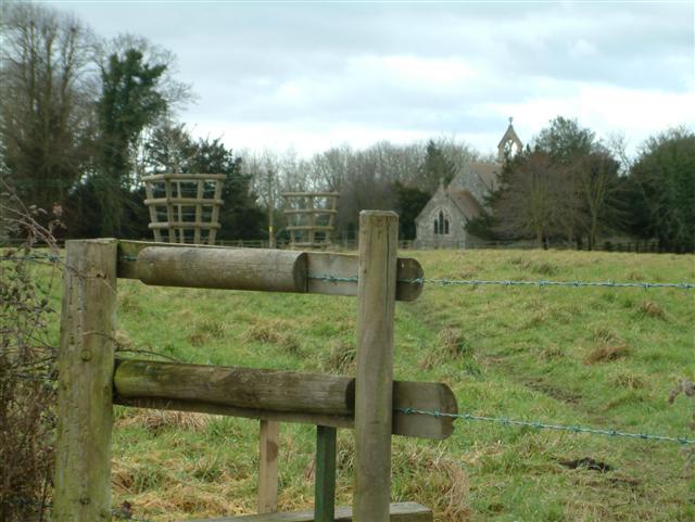
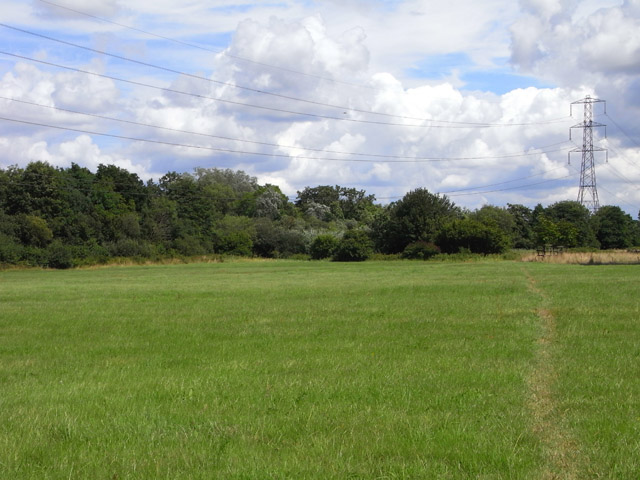
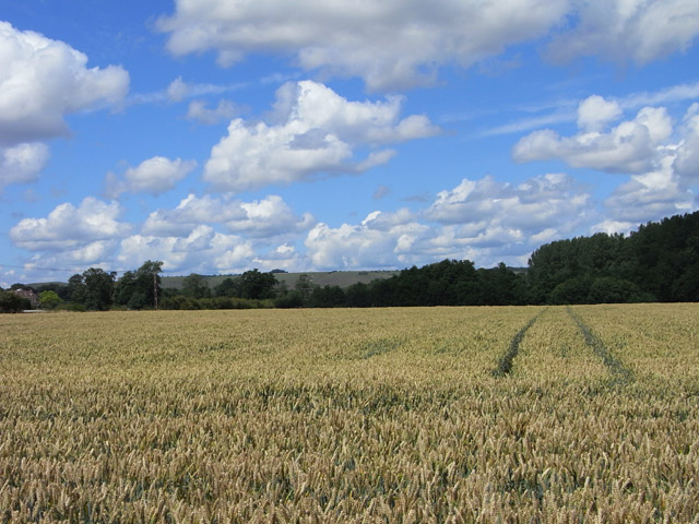
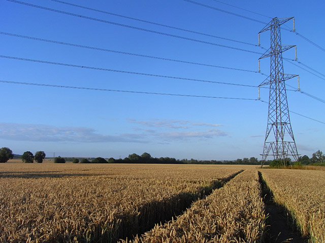
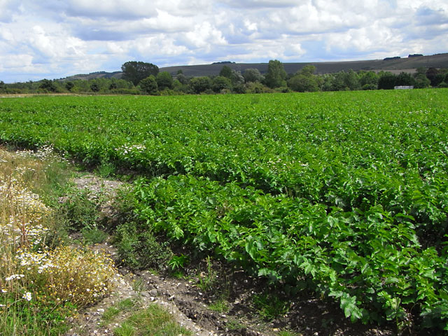
Little Abbots Images
Images are sourced within 2km of 51.33994/-1.7980345 or Grid Reference SU1460. Thanks to Geograph Open Source API. All images are credited.
Little Abbots is located at Grid Ref: SU1460 (Lat: 51.33994, Lng: -1.7980345)
Unitary Authority: Wiltshire
Police Authority: Wiltshire
What 3 Words
///replaying.flooding.snuck. Near Pewsey, Wiltshire
Nearby Locations
Related Wikis

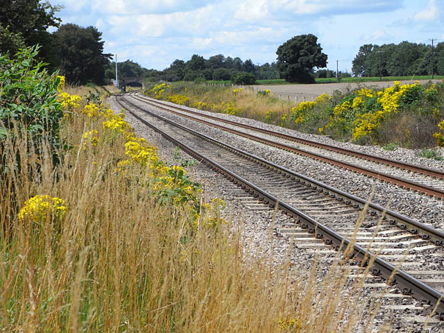
Manningford Halt railway station
Manningford Halt is a former railway station which opened in 1932 in Manningford parish, Wiltshire, England on the Berks and Hants Extension Railway between...

Wilcot
Wilcot is a village and former civil parish, now in the parish of Wilcot, Huish and Oare, in Wiltshire, England, in the Vale of Pewsey about 6 miles (10...

Swanborough Tump
Swanborough Tump is a mound of earth in Manningford parish, Wiltshire, England. It has been considered to be a bowl barrow dating from the Bronze Age and...
Stanchester Hoard
The Stanchester Hoard is a hoard of 1,166 Roman coins dating from the fourth to early fifth century found in 2000 at Wilcot, in the Vale of Pewsey, Wiltshire...
Nearby Amenities
Located within 500m of 51.33994,-1.7980345Have you been to Little Abbots?
Leave your review of Little Abbots below (or comments, questions and feedback).