Lickey Hills
Settlement in Worcestershire Bromsgrove
England
Lickey Hills
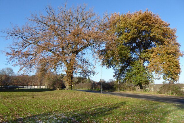
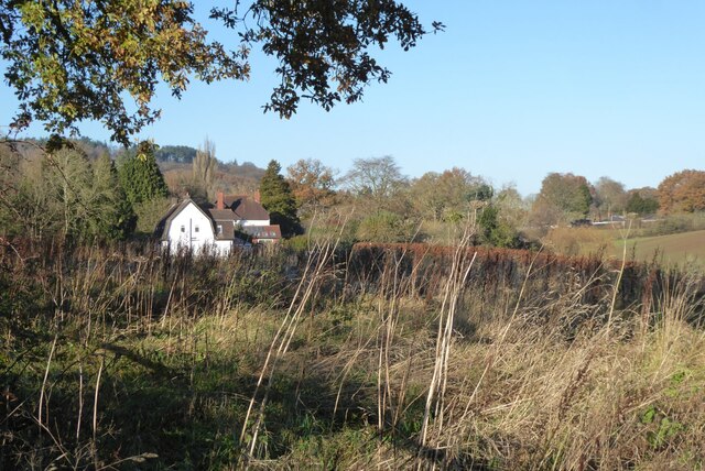
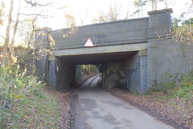
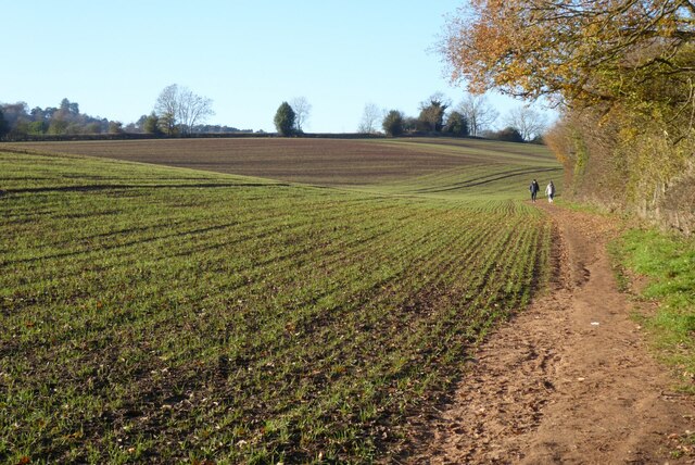
Lickey Hills is a prominent natural feature and popular recreational area located in Worcestershire, England. Situated approximately 11 miles south of Birmingham, this hilly landscape covers an area of around 524 acres. The area is known for its outstanding beauty and diverse wildlife, making it a favorite destination for nature enthusiasts and outdoor activities.
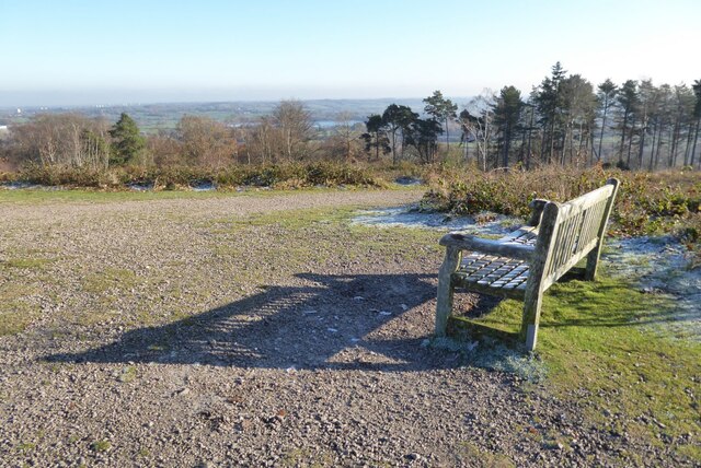
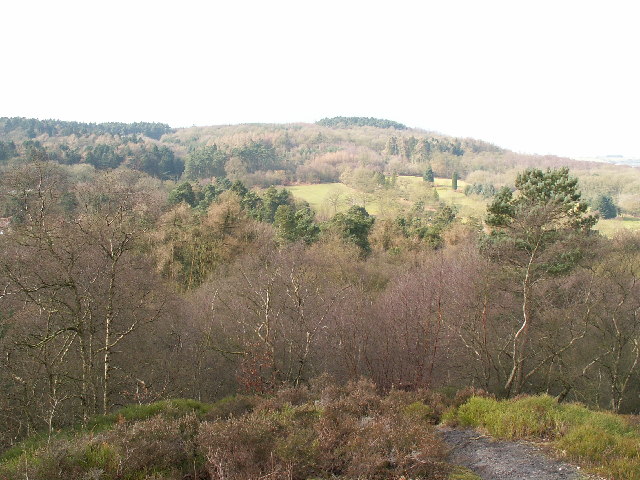
The hills themselves consist mainly of red sandstone, which provides a unique and picturesque backdrop for visitors. At its highest point, Beacon Hill, which stands at 297 meters above sea level, offers breathtaking panoramic views of the surrounding countryside, including the nearby city of Birmingham.
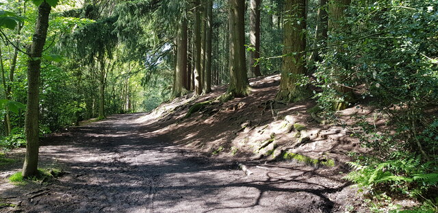
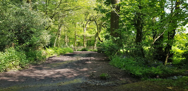
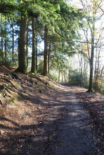
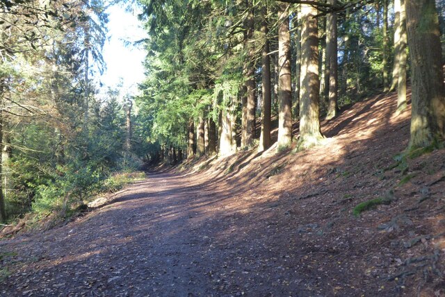
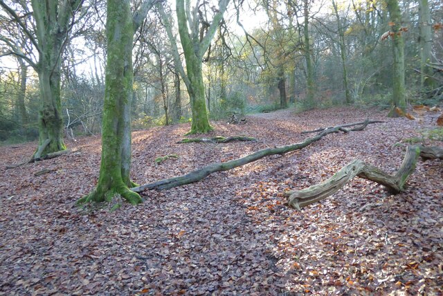
Lickey Hills is home to a variety of habitats, including woodlands, heathlands, and grasslands. These diverse ecosystems support a wide range of plant and animal species, including several rare and protected ones. Visitors can explore numerous trails and walking paths that meander through the hills, providing ample opportunities for hiking, cycling, and picnicking.
Aside from its natural beauty, Lickey Hills also offers several amenities for visitors. There is a visitor center that provides information about the area's history, geology, and wildlife. Additionally, there are facilities such as a café, children's play area, and ample parking spaces.
Overall, Lickey Hills is a cherished natural gem in Worcestershire, offering a unique blend of scenic landscapes, recreational activities, and educational opportunities for all who visit.
If you have any feedback on the listing, please let us know in the comments section below.
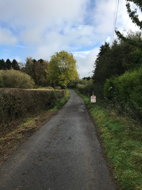
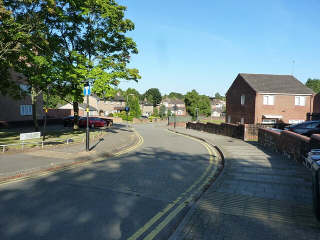
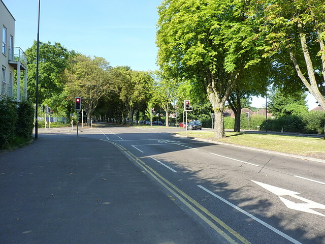
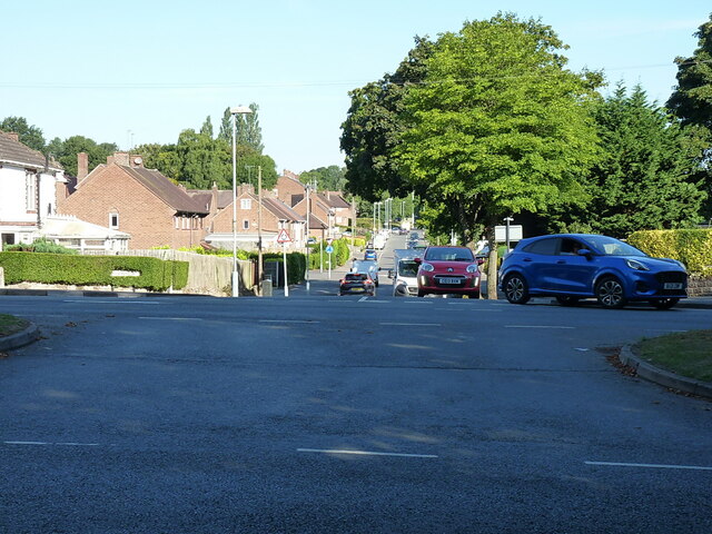
Lickey Hills Images
Images are sourced within 2km of 52.378482/-2.0090343 or Grid Reference SO9975. Thanks to Geograph Open Source API. All images are credited.

Lickey Hills is located at Grid Ref: SO9975 (Lat: 52.378482, Lng: -2.0090343)
Administrative County: Worcestershire
District: Bromsgrove
Police Authority: West Merica
What 3 Words
///mouth.smooth.galaxy. Near Barnt Green, Worcestershire
Nearby Locations
Related Wikis
Lickey Hills Country Park
Lickey Hills Country Park is a country park in England. It is 10 miles (16 kilometres) south west of Birmingham and 24 miles (39 kilometres) north east...

Lickey Hills
The Lickey Hills (known locally as simply The Lickeys) are a range of hills in Worcestershire, England, 11 miles (18 km) to the south-west of the centre...
Bilberry Hill
Bilberry Hill is one of the Lickey Hills in northern Worcestershire, England, 10.3 miles (16.6 kilometres) south west of Birmingham and 24 miles (39 kilometres...

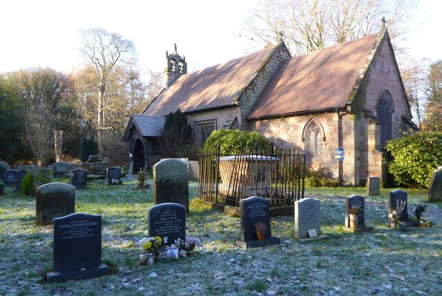
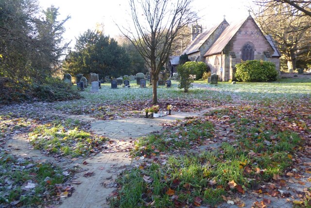
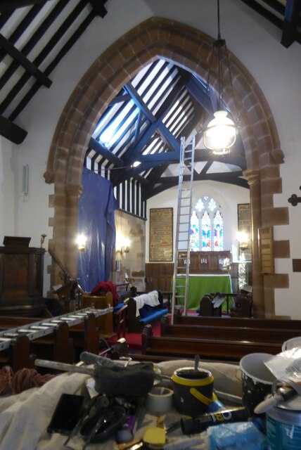
Holy Trinity Church, Lickey
Holy Trinity Church, Lickey is a Church of England parish church in Lickey, Worcestershire. == History == The foundation stone was laid on 16 May 1855...

Lickey
Lickey is a 'Linear Development', as opposed to a village, in the north of Worcestershire, England approximately 10 miles (16 km) south west from the centre...

Cofton Hackett
Cofton Hackett is a village and civil parish in the Bromsgrove District of north east Worcestershire, England. It is 10+1⁄4 miles (16.5 kilometres) southwest...

Cofton Reservoir
Cofton Reservoir is a canal feeder reservoir, south of the village of Cofton Hackett, Worcestershire in the United Kingdom. The reservoir is situated at...

Cofton Park
Cofton Park (grid reference SP003762) is a park located in south Birmingham, England. == History == The 135 acres of land was acquired by Birmingham City...
Nearby Amenities
Located within 500m of 52.378482,-2.0090343Have you been to Lickey Hills?
Leave your review of Lickey Hills below (or comments, questions and feedback).