Lickey
Settlement in Worcestershire Bromsgrove
England
Lickey
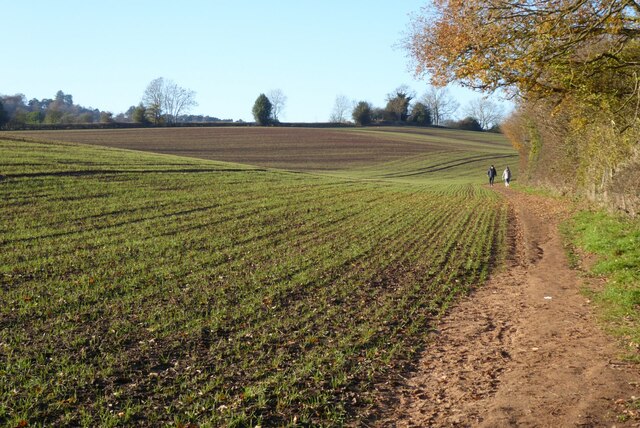
Lickey is a village located in Worcestershire, England. It lies approximately 11 miles south of Birmingham, nestled within the Lickey Hills Country Park. The village is known for its picturesque surroundings and proximity to the Lickey Hills, a popular destination for outdoor enthusiasts.
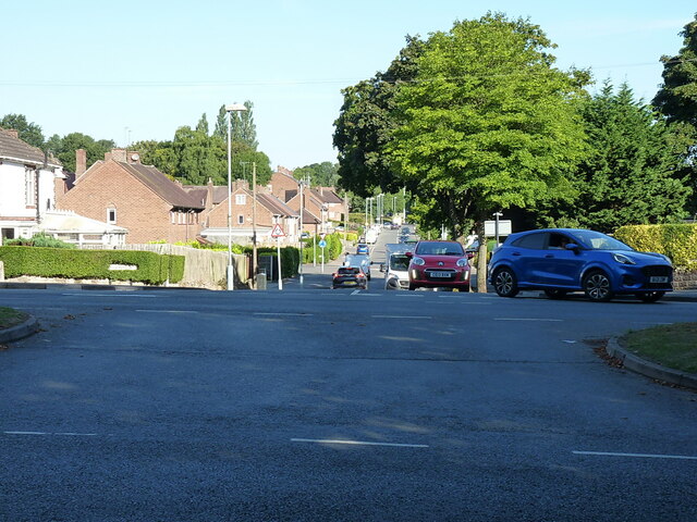
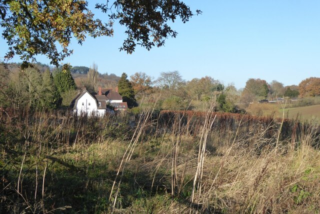
Lickey offers a peaceful and rural setting, with a charming mix of traditional cottages and modern houses. The village has a close-knit community and a range of amenities to cater to the needs of its residents. These include a primary school, a village hall, a post office, and a handful of local shops and pubs.
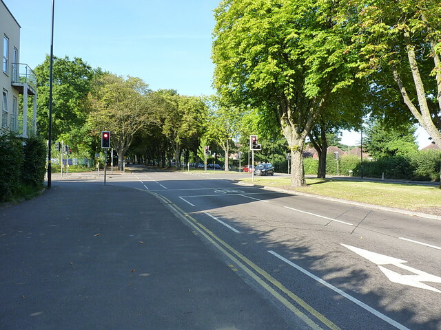
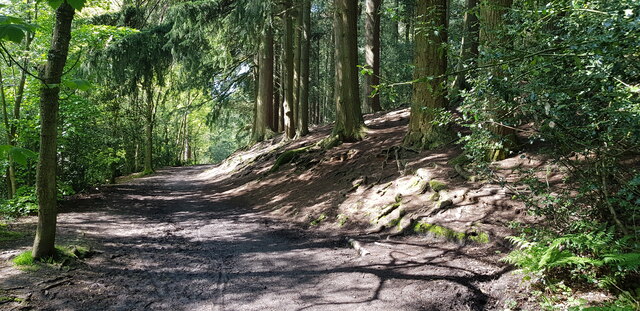
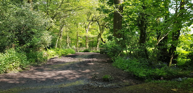
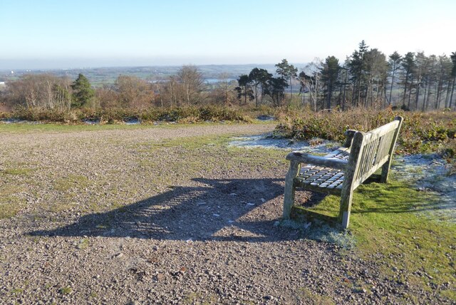
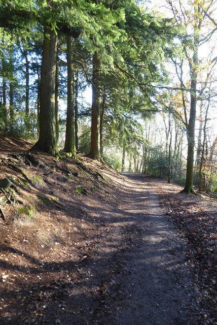
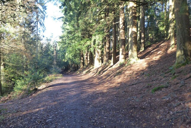
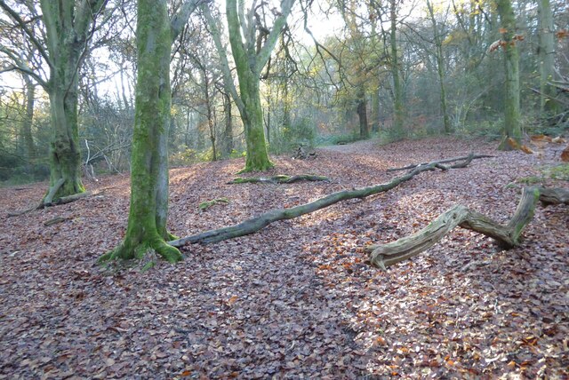
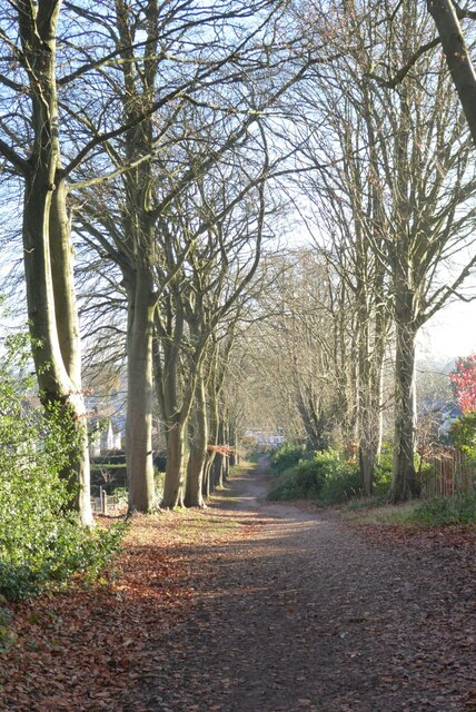
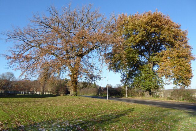
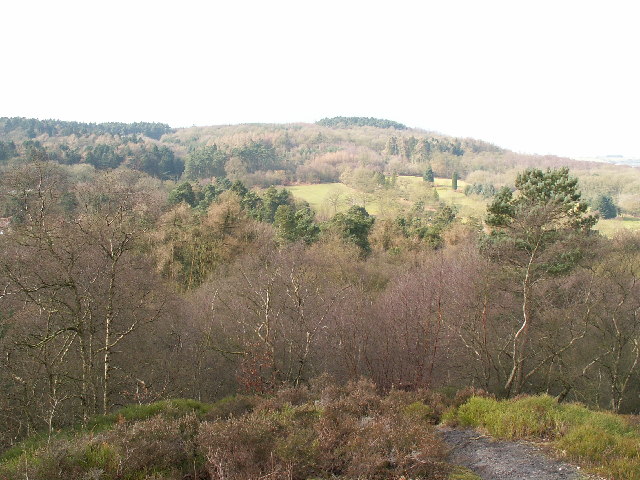
One of the main attractions in Lickey is the Lickey Hills Country Park, a vast expanse of open space covering around 524 acres. The park boasts an extensive network of walking and cycling trails, offering breathtaking views of the surrounding countryside. It is also home to a diverse range of flora and fauna, making it a haven for nature lovers.
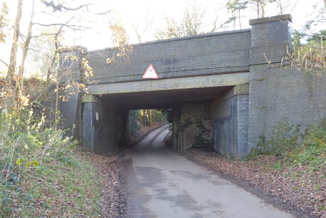
Lickey is well-connected to neighboring towns and cities, with easy access to major transportation routes. The nearby M5 motorway ensures convenient travel to Birmingham, Worcester, and other parts of the country. Additionally, the village is served by regular bus services, providing connections to the wider region.
In summary, Lickey is a charming village located in Worcestershire, offering a combination of rural tranquility and convenient access to urban amenities. With its stunning natural surroundings and strong community spirit, it is an attractive place to live for those seeking a peaceful yet well-connected lifestyle.
If you have any feedback on the listing, please let us know in the comments section below.
Lickey Images
Images are sourced within 2km of 52.375978/-2.012454 or Grid Reference SO9975. Thanks to Geograph Open Source API. All images are credited.


Lickey is located at Grid Ref: SO9975 (Lat: 52.375978, Lng: -2.012454)
Administrative County: Worcestershire
District: Bromsgrove
Police Authority: West Mercia
What 3 Words
///arts.vague.pills. Near Barnt Green, Worcestershire
Nearby Locations
Related Wikis
Lickey Hills Country Park
Lickey Hills Country Park is a country park in England. It is 10 miles (16 kilometres) south west of Birmingham and 24 miles (39 kilometres) north east...

Lickey Hills
The Lickey Hills (known locally as simply The Lickeys) are a range of hills in Worcestershire, England, 11 miles (18 km) to the south-west of the centre...
Bilberry Hill
Bilberry Hill is one of the Lickey Hills in northern Worcestershire, England, 10.3 miles (16.6 kilometres) south west of Birmingham and 24 miles (39 kilometres...

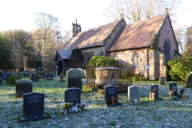
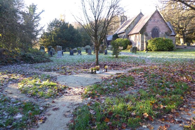
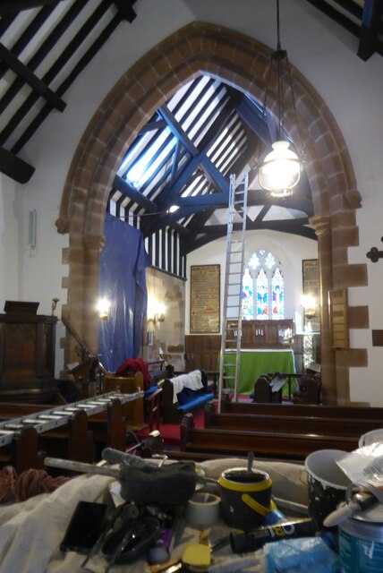
Holy Trinity Church, Lickey
Holy Trinity Church, Lickey is a Church of England parish church in Lickey, Worcestershire. == History == The foundation stone was laid on 16 May 1855...

Lickey
Lickey is a 'Linear Development', as opposed to a village, in the north of Worcestershire, England approximately 10 miles (16 km) south west from the centre...

Cofton Hackett
Cofton Hackett is a village and civil parish in the Bromsgrove District of north east Worcestershire, England. It is 10+1⁄4 miles (16.5 kilometres) southwest...

Lickey Grange
Lickey Grange is a Victorian house and estate in the village of Lickey, Bromsgrove District, Worcestershire, near Birmingham, England, where the automobile...
Cofton Reservoir
Cofton Reservoir is a canal feeder reservoir, south of the village of Cofton Hackett, Worcestershire in the United Kingdom. The reservoir is situated at...
Nearby Amenities
Located within 500m of 52.375978,-2.012454Have you been to Lickey?
Leave your review of Lickey below (or comments, questions and feedback).