Lee Chapel North
Settlement in Essex Basildon
England
Lee Chapel North
Lee Chapel North is a small residential area located in the county of Essex, England. Situated in the town of Basildon, it is a part of the larger Lee Chapel neighborhood. The area is known for its peaceful atmosphere and is primarily residential, offering a tranquil escape from the bustling city life.
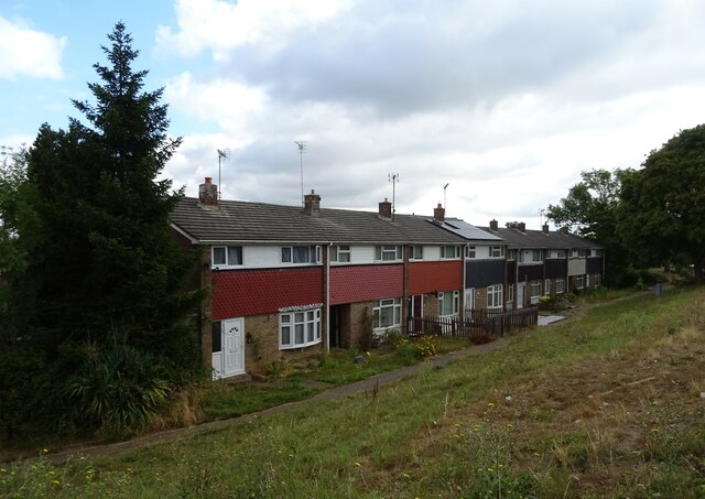
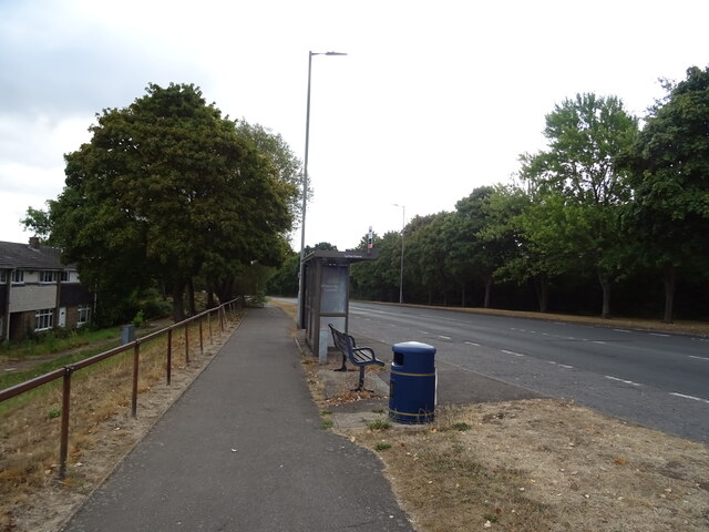
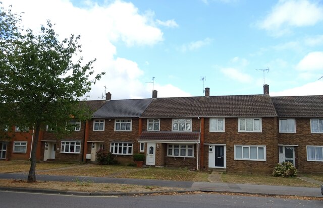
Lee Chapel North is characterized by its well-maintained streets, lined with neat rows of houses and charming gardens. The properties in this area are predominantly semi-detached and terraced houses, providing a range of housing options for residents. The architecture is varied, with a mix of traditional and modern styles, adding to the area's visual appeal.
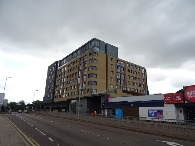
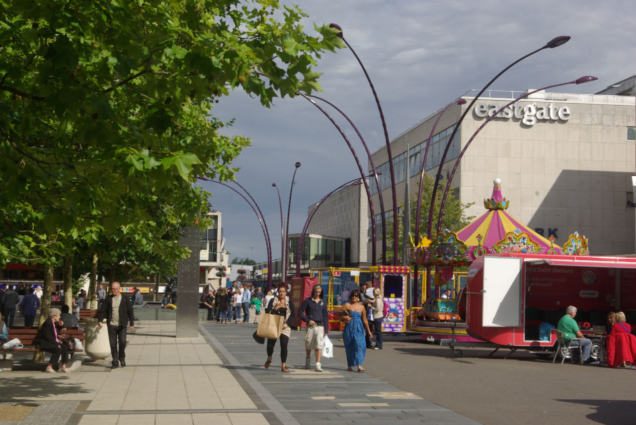
The neighborhood is well-served by local amenities, including several convenience stores, small independent shops, and a handful of local eateries. For more extensive shopping options, the nearby Eastgate Shopping Centre offers a wide range of retail outlets, supermarkets, and restaurants.
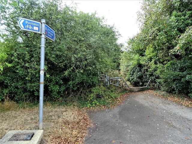
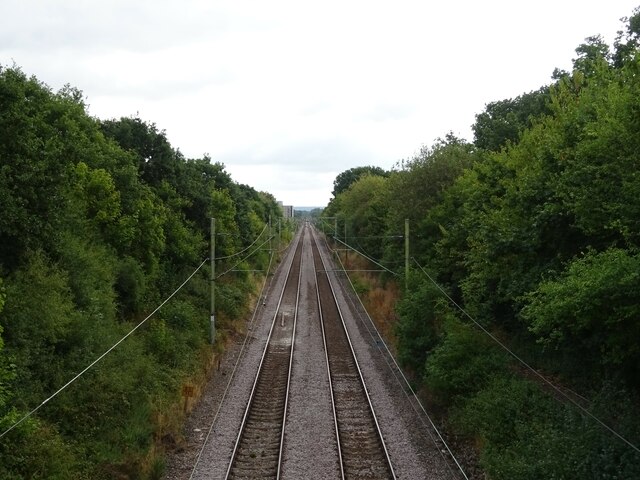
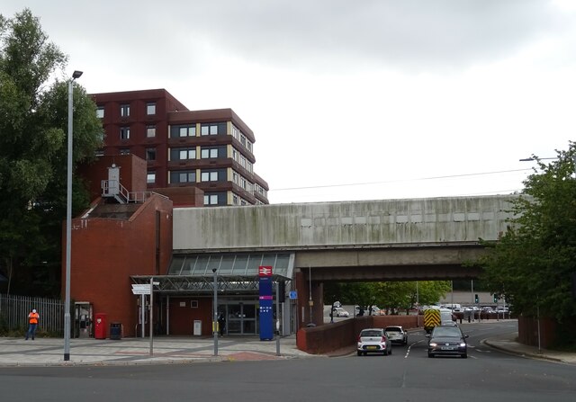
Lee Chapel North benefits from excellent transportation links, with easy access to major roads such as the A127 and A13, providing convenient routes to neighboring towns and cities. Additionally, Basildon railway station is just a short distance away, offering frequent train services to London and other destinations.
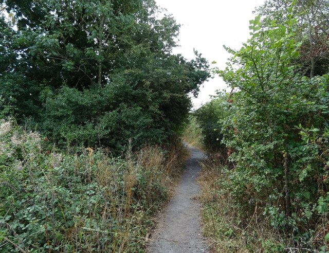
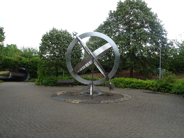
Nature enthusiasts can enjoy the nearby Gloucester Park, a popular green space with beautiful landscaped gardens, a lake, and a playground. The park provides an ideal place for leisurely walks, picnics, and recreational activities.
Overall, Lee Chapel North offers a pleasant and convenient place to live, with its peaceful surroundings, well-maintained properties, and proximity to essential amenities.
If you have any feedback on the listing, please let us know in the comments section below.
Lee Chapel North Images
Images are sourced within 2km of 51.572969/0.44264785 or Grid Reference TQ6988. Thanks to Geograph Open Source API. All images are credited.


Lee Chapel North is located at Grid Ref: TQ6988 (Lat: 51.572969, Lng: 0.44264785)
Administrative County: Essex
District: Basildon
Police Authority: Essex
What 3 Words
///puddles.device.rungs. Near Basildon, Essex
Nearby Locations
Related Wikis

Gloucester Park, Basildon
Gloucester Park in Basildon is an urban neighbourhood park, named after the Duke of Gloucester, who opened the park in 1957. In the 1970s a 6-acre (24...
Borough of Basildon
The Borough of Basildon is a local government district with borough status in Essex, England. The borough is named after its largest town, Basildon, where...
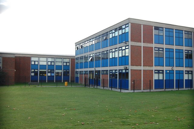
James Hornsby School
The James Hornsby School is a co-educational secondary school located in Laindon, in the Borough of Basildon, Essex, England. It was formed from the merger...

Basildon Town Centre
Basildon Town Centre is a planned town centre developed during the creation of the town of Basildon, Essex, in the 1950s. The architect Sir Basil Spence...

PROCAT
PROCAT is a further education college based in Basildon, Essex, England, with an additional campus in Canvey Island. PROCAT is an acronym of "Prospect...

Basildon railway station
Basildon railway station is on the London, Tilbury and Southend line, serving the town of Basildon, Essex. It is 24 miles 26 chains (39.1 km) down the...
Woodlands School, Basildon
Woodlands School is a secondary school in Basildon, Essex. The school currently educates more than 1600 students from Basildon and South East Essex....

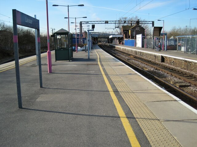
Laindon railway station
Laindon railway station is on the London, Tilbury and Southend line, serving the town of Laindon in Essex, England. It is 22 miles 69 chains (36.8 km)...
Nearby Amenities
Located within 500m of 51.572969,0.44264785Have you been to Lee Chapel North?
Leave your review of Lee Chapel North below (or comments, questions and feedback).