Lee Chapel
Settlement in Essex Basildon
England
Lee Chapel
Lee Chapel is a small village located in the county of Essex, England. Situated approximately 30 miles northeast of London, it falls under the borough of Basildon. The village is known for its historic and picturesque setting, surrounded by lush green fields and woodland.
One of the prominent landmarks in Lee Chapel is the St. Michael and All Angels Church. This beautiful Anglican church dates back to the 13th century and is a Grade I listed building. It features an impressive tower and a unique timber-framed porch, adding to its architectural charm. The church serves as a focal point for religious activities and also attracts visitors interested in its historical significance.
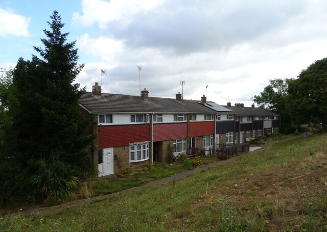
Apart from the church, Lee Chapel offers a tranquil and peaceful environment with a close-knit community. The village is primarily residential, with a mix of housing ranging from traditional cottages to modern developments. It boasts a friendly and welcoming atmosphere, making it an ideal place for families and individuals seeking a quieter lifestyle.
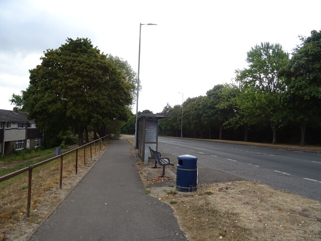
Lee Chapel benefits from excellent transport links, with nearby access to major roads such as the A127 and A13. This allows for easy commuting to nearby towns and cities, including Basildon and Chelmsford. The village also benefits from a selection of amenities, including local shops, schools, and recreational facilities, ensuring residents have all the necessary conveniences close at hand.
Overall, Lee Chapel offers a blend of history, natural beauty, and a sense of community, making it an attractive place to live or visit in Essex.
If you have any feedback on the listing, please let us know in the comments section below.
Lee Chapel Images
Images are sourced within 2km of 51.565552/0.43691118 or Grid Reference TQ6988. Thanks to Geograph Open Source API. All images are credited.


Lee Chapel is located at Grid Ref: TQ6988 (Lat: 51.565552, Lng: 0.43691118)
Administrative County: Essex
District: Basildon
Police Authority: Essex
What 3 Words
///loaded.rather.slam. Near Basildon, Essex
Nearby Locations
Related Wikis

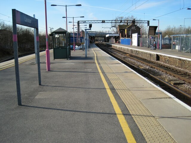
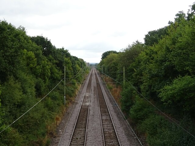
Laindon railway station
Laindon railway station is on the London, Tilbury and Southend line, serving the town of Laindon in Essex, England. It is 22 miles 69 chains (36.8 km)...

Langdon Hills
Langdon Hills is an area of Basildon in the borough of Basildon in Essex, England. It is located south of Laindon railway station on the London, Tilbury...
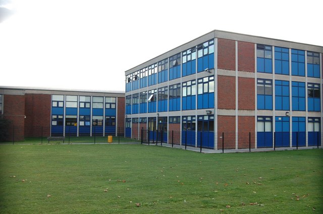
James Hornsby School
The James Hornsby School is a co-educational secondary school located in Laindon, in the Borough of Basildon, Essex, England. It was formed from the merger...
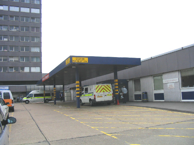
Basildon University Hospital
Basildon University Hospital is an acute general hospital in Basildon, Essex. It is managed by the Mid and South Essex NHS Foundation Trust. == History... ==

Gloucester Park, Basildon
Gloucester Park in Basildon is an urban neighbourhood park, named after the Duke of Gloucester, who opened the park in 1957. In the 1970s a 6-acre (24...
Borough of Basildon
The Borough of Basildon is a local government district with borough status in Essex, England. The borough is named after its largest town, Basildon, where...

Woodlands School, Basildon
Woodlands School is a secondary school in Basildon, Essex. The school currently educates more than 1600 students from Basildon and South East Essex....

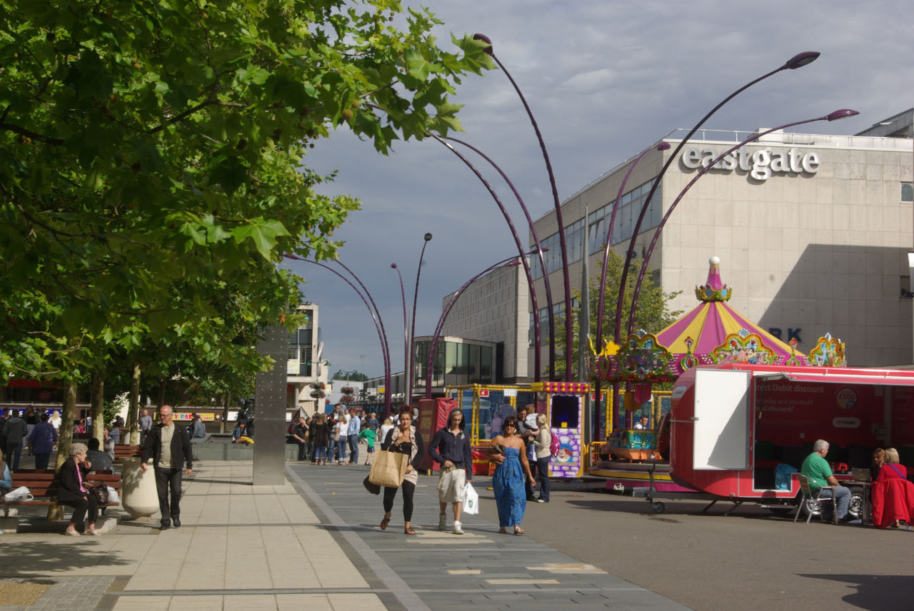
Basildon Town Centre
Basildon Town Centre is a planned town centre developed during the creation of the town of Basildon, Essex, in the 1950s. The architect Sir Basil Spence...
Nearby Amenities
Located within 500m of 51.565552,0.43691118Have you been to Lee Chapel?
Leave your review of Lee Chapel below (or comments, questions and feedback).