Lechlade-on-Thames
Settlement in Gloucestershire Cotswold
England
Lechlade-on-Thames
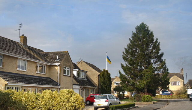
Lechlade-on-Thames is a picturesque town situated in the county of Gloucestershire, England. Nestled on the southern border of the Cotswolds, it is positioned where the rivers Thames and Leach meet, adding to its natural beauty. With a population of around 3,000 residents, Lechlade-on-Thames exudes a tranquil and welcoming atmosphere.
The town's rich history dates back to Roman times, and evidence of its past can be seen in the ancient St. Lawrence Church, which stands prominently in the town center. Lechlade-on-Thames was once an important trading hub, benefiting from its strategic location on the Thames, which made it an ideal stop for merchants and travelers.
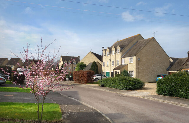
Nowadays, Lechlade-on-Thames is renowned for its idyllic riverside setting and its appeal to those seeking a peaceful retreat. The town offers a range of amenities, including charming independent shops, cozy pubs, and delightful cafes. The Riverside Park is a popular spot for leisure activities, with its well-maintained green spaces, picnic areas, and a children's playground.
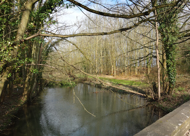
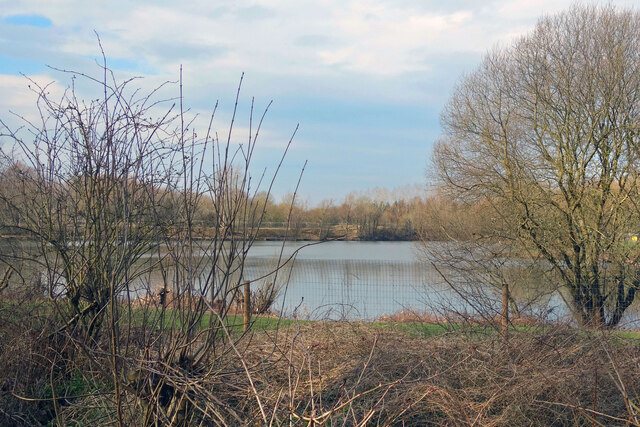
Lechlade-on-Thames is also a haven for wildlife enthusiasts, as it serves as a gateway to the Cotswold Water Park, a vast wetland area teeming with diverse bird species and other wildlife. Visitors can enjoy walks along the Thames Path, which offers stunning views of the surrounding countryside.
Overall, Lechlade-on-Thames is a delightful destination that effortlessly combines historical charm with natural beauty, making it a perfect place for leisurely strolls, riverside picnics, and a retreat from the hustle and bustle of everyday life.
If you have any feedback on the listing, please let us know in the comments section below.
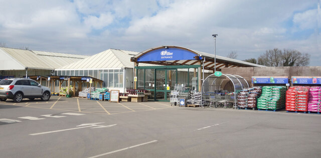
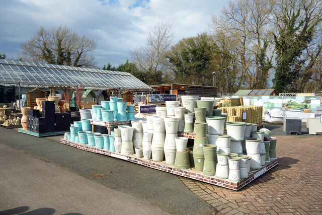
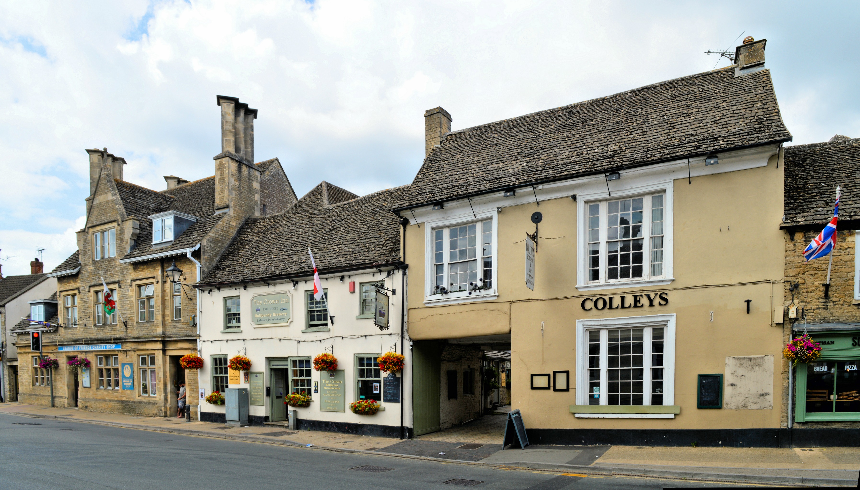
Lechlade-on-Thames Images
Images are sourced within 2km of 51.694081/-1.6921954 or Grid Reference SU2199. Thanks to Geograph Open Source API. All images are credited.
![A figure of eight walk from Lechlade-on-Thames [1] In celebration of the Queen's Jubilee is this delightful sculpture near Allcourt Meadow.
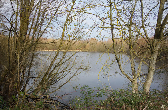
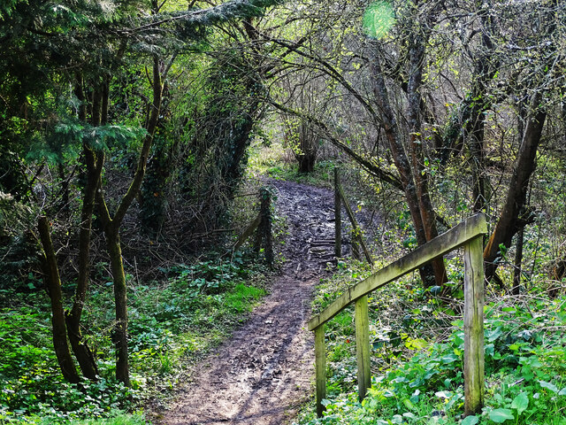
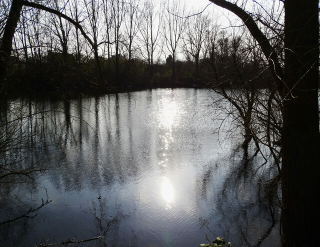
After leaving Lechlade, the route joins the long distance Thames and Severn Way and passes the southern edge of Bowmoor Lake. Turning north, and looping around the northern edge of the lake, the Thames and Severn Way is re-joined and followed to the banks of the River Thames and back to Lechlade. Slightly over 5 miles.](https://s2.geograph.org.uk/geophotos/07/26/33/7263314_ae732a73.jpg)
![A figure of eight walk from Lechlade-on-Thames [2] The route leaves High Street, A417, into a passage between houses.
After leaving Lechlade, the route joins the long distance Thames and Severn Way and passes the southern edge of Bowmoor Lake. Turning north, and looping around the northern edge of the lake, the Thames and Severn Way is re-joined and followed to the banks of the River Thames and back to Lechlade. Slightly over 5 miles.](https://s0.geograph.org.uk/geophotos/07/26/33/7263320_5f617053.jpg)
![A figure of eight walk from Lechlade-on-Thames [3] On its way to open fields, the route passes between houses.
After leaving Lechlade, the route joins the long distance Thames and Severn Way and passes the southern edge of Bowmoor Lake. Turning north, and looping around the northern edge of the lake, the Thames and Severn Way is re-joined and followed to the banks of the River Thames and back to Lechlade. Slightly over 5 miles.](https://s3.geograph.org.uk/geophotos/07/26/33/7263323_e1cc9b17.jpg)
![A figure of eight walk from Lechlade-on-Thames [4] After crossing the first of four drainage ditches, the path heads across the field towards the second ditch.
After leaving Lechlade, the route joins the long distance Thames and Severn Way and passes the southern edge of Bowmoor Lake. Turning north, and looping around the northern edge of the lake, the Thames and Severn Way is re-joined and followed to the banks of the River Thames and back to Lechlade. Slightly over 5 miles.](https://s1.geograph.org.uk/geophotos/07/26/33/7263329_9ba12c92.jpg)
![A figure of eight walk from Lechlade-on-Thames [5] The path approaches another footbridge over a drainage ditch.
After leaving Lechlade, the route joins the long distance Thames and Severn Way and passes the southern edge of Bowmoor Lake. Turning north, and looping around the northern edge of the lake, the Thames and Severn Way is re-joined and followed to the banks of the River Thames and back to Lechlade. Slightly over 5 miles.](https://s3.geograph.org.uk/geophotos/07/26/41/7264119_203e228a.jpg)
![A figure of eight walk from Lechlade-on-Thames [6] Near another bridge over a drainage ditch, the way is obstructed by this fallen tree.
After leaving Lechlade, the route joins the long distance Thames and Severn Way and passes the southern edge of Bowmoor Lake. Turning north, and looping around the northern edge of the lake, the Thames and Severn Way is re-joined and followed to the banks of the River Thames and back to Lechlade. Slightly over 5 miles.](https://s0.geograph.org.uk/geophotos/07/26/41/7264120_8a0bb31b.jpg)
![A figure of eight walk from Lechlade-on-Thames [7] The path now runs along the field edge.
After leaving Lechlade, the route joins the long distance Thames and Severn Way and passes the southern edge of Bowmoor Lake. Turning north, and looping around the northern edge of the lake, the Thames and Severn Way is re-joined and followed to the banks of the River Thames and back to Lechlade. Slightly over 5 miles.](https://s1.geograph.org.uk/geophotos/07/26/41/7264121_27a44cb8.jpg)
![A figure of eight walk from Lechlade-on-Thames [8] The path approaches the point where it joins the Thames and Severn Way.
After leaving Lechlade, the route joins the long distance Thames and Severn Way and passes the southern edge of Bowmoor Lake. Turning north, and looping around the northern edge of the lake, the Thames and Severn Way is re-joined and followed to the banks of the River Thames and back to Lechlade. Slightly over 5 miles.](https://s2.geograph.org.uk/geophotos/07/26/41/7264122_b7e2555a.jpg)
Lechlade-on-Thames is located at Grid Ref: SU2199 (Lat: 51.694081, Lng: -1.6921954)
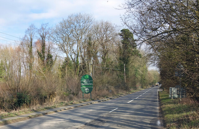
Administrative County: Gloucestershire
District: Cotswold
Police Authority: Gloucestershire
Also known as: Lechlade
What 3 Words
///booklets.shampoos.vines. Near Lechlade, Gloucestershire
Nearby Locations
Related Wikis

St Lawrence Church, Lechlade
The Anglican St Lawrence Church, dedicated to St. Lawrence of Rome, is the Church of England parish church of Lechlade in Gloucestershire, England. The...

Halfpenny Bridge
Halfpenny Bridge is a bridge across the River Thames, at Lechlade, Gloucestershire, England. The bridge and its toll house are a Grade II listed building...

Thames meander
Thames meander refers to a long-distance journey over all or part of the River Thames in England. Walking the Thames Path is itself a meander, but the...
Lechlade
Lechlade () is a town at the southern edge of the Cotswolds in Gloucestershire, England, 55 miles (89 km) south of Birmingham and 68 miles (109 km) west...

Lechlade Manor
Lechlade Manor in Lechlade, Gloucestershire, England, is a Victorian country house built for George Milward, a lawyer, by John Loughborough Pearson. Primarily...

Southrop
Southrop is a village and civil parish in Gloucestershire, England. It is situated on the River Leach. The Grade I listed St Peter's Church dates from...

St John's Lock
St John's Lock, below the town of Lechlade, Gloucestershire, is the furthest upstream lock on the River Thames in England. The name of the lock derives...

St John's Bridge, Lechlade
St John's Bridge is a two-section road bridge across the channel of the upper Thames near Lechlade, England, then across the lock cut to the south, the...
Nearby Amenities
Located within 500m of 51.694081,-1.6921954Have you been to Lechlade-on-Thames?
Leave your review of Lechlade-on-Thames below (or comments, questions and feedback).