Leckhampton Hill
Settlement in Gloucestershire Tewkesbury
England
Leckhampton Hill
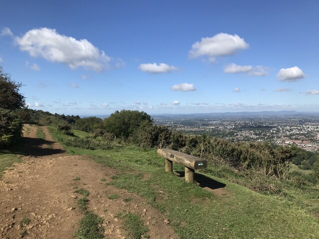
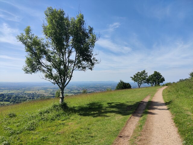
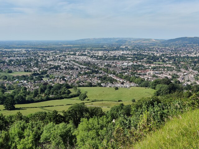
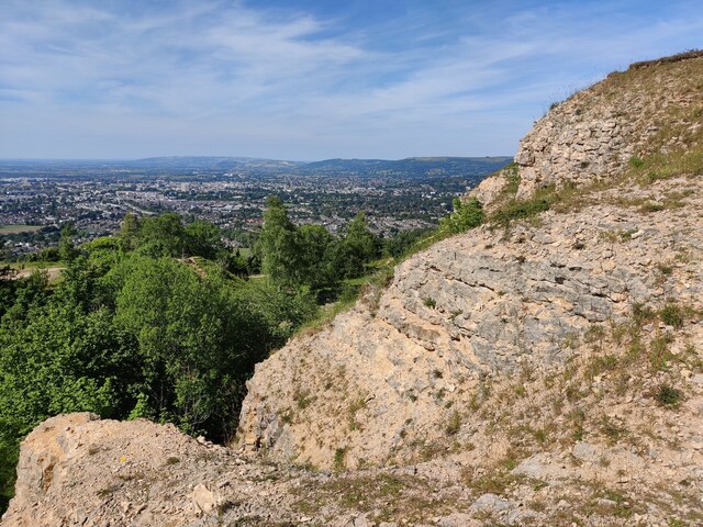
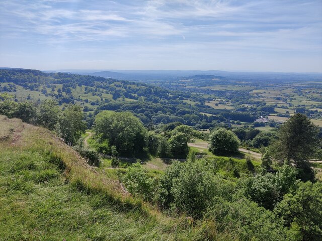
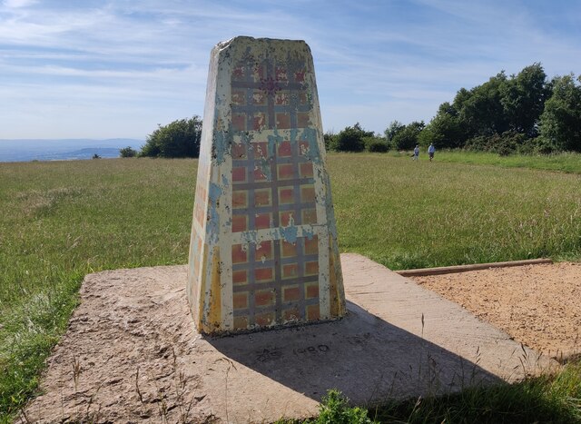
Leckhampton Hill is a prominent landmark located in Gloucestershire, England. It forms part of the Cotswold Area of Outstanding Natural Beauty and is situated just a few miles south of Cheltenham. Rising to an impressive height of 1,083 feet (330 meters), the hill offers breathtaking panoramic views of the surrounding countryside.
The hill is renowned for its diverse and rich flora and fauna. It is covered with an array of wildflowers, including orchids, cowslips, and bluebells, which create a vibrant and colorful landscape during the spring and summer months. Furthermore, the hill is home to a variety of wildlife, such as deer, badgers, and a wide range of bird species, making it a popular spot for nature enthusiasts and birdwatchers.
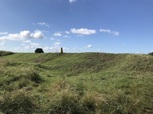
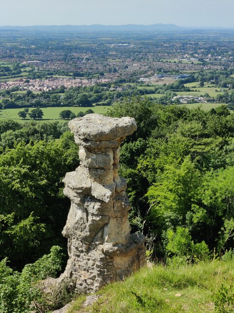
Leckhampton Hill is also steeped in history. It boasts an Iron Age hillfort, known as the Devil's Chimney, which dates back over 2,000 years. The hillfort's earthworks and ramparts are still visible today, offering visitors a glimpse into the region's ancient past.
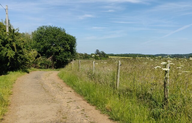
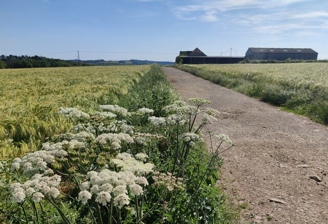
Additionally, the hill provides ample opportunities for outdoor activities. There are several walking trails and bridleways that crisscross the hill, allowing visitors to explore its natural beauty. The most popular trail is the Cotswold Way, a long-distance footpath that stretches over 100 miles (160 kilometers) and passes through Leckhampton Hill.
Overall, Leckhampton Hill is a cherished natural and historical treasure in Gloucestershire. Its stunning landscapes, diverse wildlife, and historical significance make it a must-visit destination for locals and tourists alike.
If you have any feedback on the listing, please let us know in the comments section below.
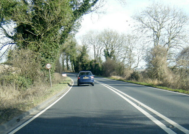
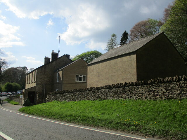
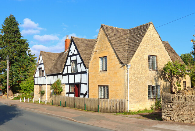
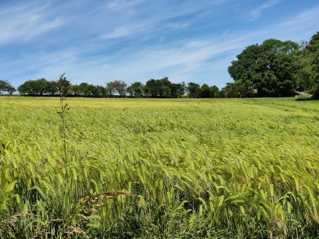
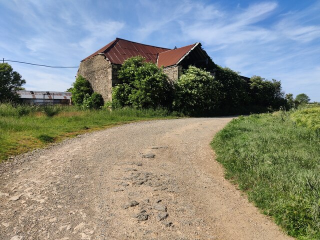
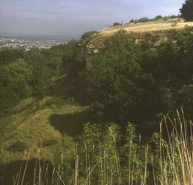
Leckhampton Hill Images
Images are sourced within 2km of 51.859396/-2.0822707 or Grid Reference SO9417. Thanks to Geograph Open Source API. All images are credited.

Leckhampton Hill is located at Grid Ref: SO9417 (Lat: 51.859396, Lng: -2.0822707)
Administrative County: Gloucestershire
District: Tewkesbury
Police Authority: Gloucestershire
What 3 Words
///scarred.absent.regress. Near Shurdington, Gloucestershire
Nearby Locations
Related Wikis

Devil's Chimney (Gloucestershire)
The Devil's Chimney is a limestone rock formation that stands above a disused quarry in Leckhampton, near Cheltenham, Gloucestershire, England. It is named...

Ullenwood
Ullenwood is a village in the Coberley civil parish, near Cheltenham in Gloucestershire. It is the site of a formerly secret civil defence bunker intended...

National Star College
The National Star College (previously known as the Star Centre) is an independent specialist further education college for people with physical disabilities...
Leckhampton Hill and Charlton Kings Common
Leckhampton Hill and Charlton Kings Common (grid reference SO952187) is a 63.8-hectare (158-acre) biological and geological Site of Special Scientific...

St Peter's Church, Leckhampton
St Peter's Church, Leckhampton is the Church of England parish church in Leckhampton, Cheltenham, Gloucestershire, England. The church belongs to the...

The Air Balloon, Birdlip
The Air Balloon is a road junction and former pub Birdlip, Gloucestershire, England. The junction is on the A417 at a significant congestion point. The...
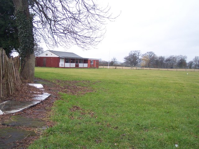
Hatherley and Reddings Cricket Club Ground
Hatherley and Reddings Cricket Club Ground is a cricket ground in Cheltenham, Gloucestershire. The first recorded match held on the ground came in 1986...

Shurdington
Shurdington is a village near Cheltenham in Gloucestershire, England. The area constitutes a civil parish within the Borough of Tewkesbury. It is located...
Nearby Amenities
Located within 500m of 51.859396,-2.0822707Have you been to Leckhampton Hill?
Leave your review of Leckhampton Hill below (or comments, questions and feedback).