Leake Hurn's End
Settlement in Lincolnshire Boston
England
Leake Hurn's End
Leake Hurn's End is a small village located in the county of Lincolnshire, England. Situated approximately 10 miles southwest of the city of Lincoln, it falls within the West Lindsey district. The village is nestled in the heart of the Lincolnshire Wolds, an Area of Outstanding Natural Beauty, renowned for its picturesque landscapes and rolling hills.
Leake Hurn's End is a tight-knit community with a population of around 200 residents. It boasts a charming mix of traditional cottages and modern houses, giving it a distinct rural character. The village is surrounded by fertile farmland, which contributes to its agricultural heritage.
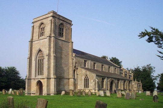
The heart of the village is the St. Mary's Church, a beautiful medieval building that dates back to the 12th century. The church is a focal point for community events and religious services. Leake Hurn's End also has a small primary school, providing education to local children.
Despite its small size, Leake Hurn's End offers a range of amenities to its residents. These include a village hall, a pub, and a post office, ensuring that the basic needs of the community are met. The village is also well-connected to nearby towns and cities, with regular bus services and good road links.
The natural surroundings of Leake Hurn's End make it a haven for outdoor enthusiasts. The surrounding Wolds provide ample opportunities for walking, cycling, and exploring the countryside. The village is also a short distance from the Lincolnshire coast, offering residents the chance to enjoy the beach and coastal activities.
In conclusion, Leake Hurn's End is a picturesque village in Lincolnshire that offers a peaceful rural lifestyle and easy access to both the countryside and nearby towns. With its strong community spirit and natural beauty, it is a desirable place to live for those seeking a tranquil yet connected lifestyle.
If you have any feedback on the listing, please let us know in the comments section below.
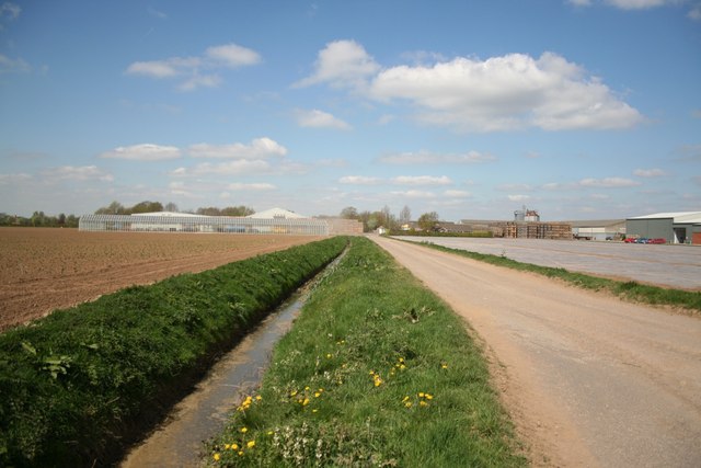
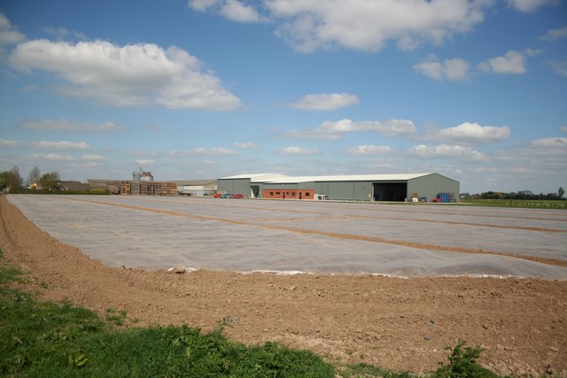
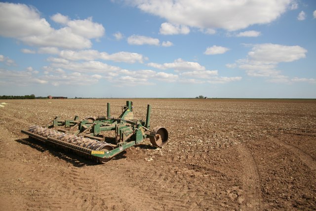
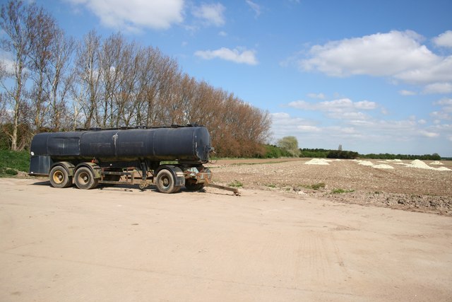
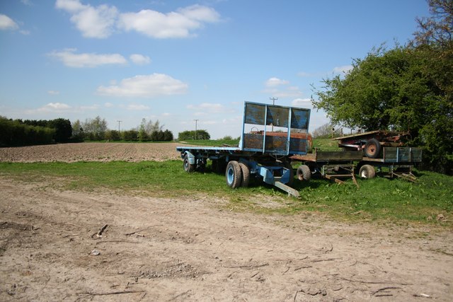
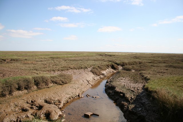
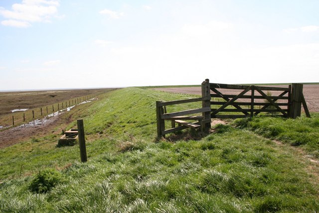
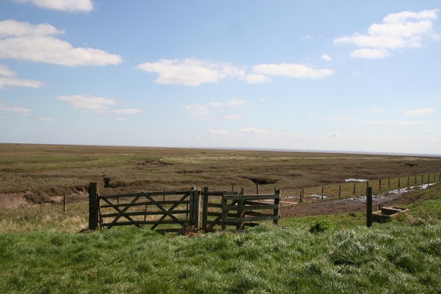
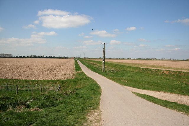
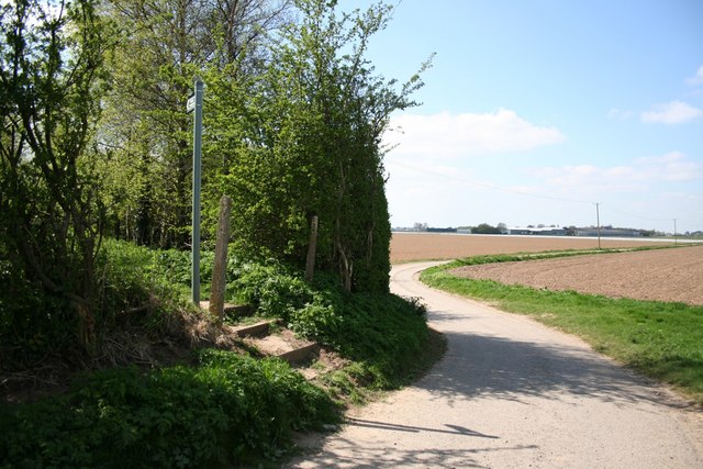
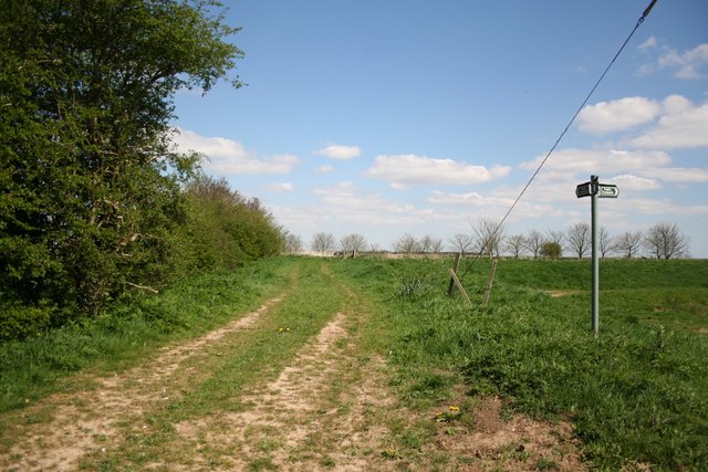
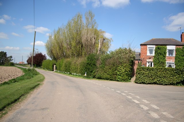
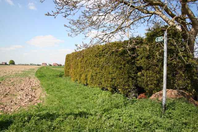
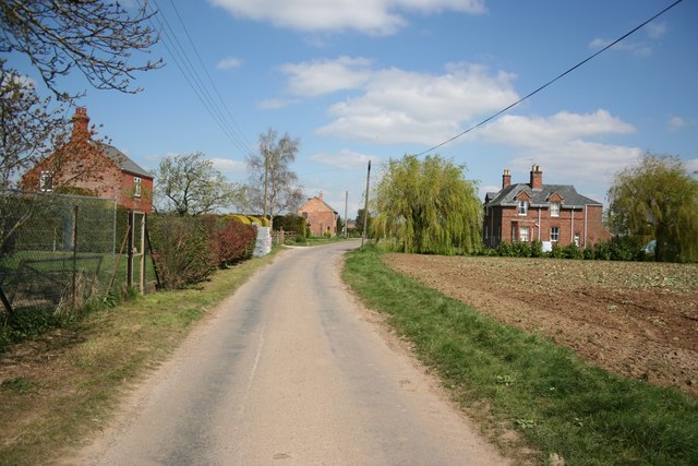
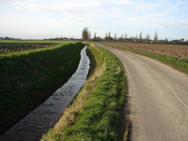
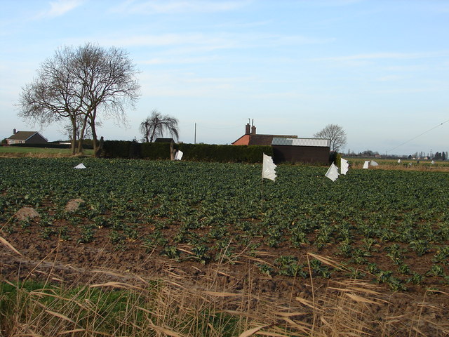
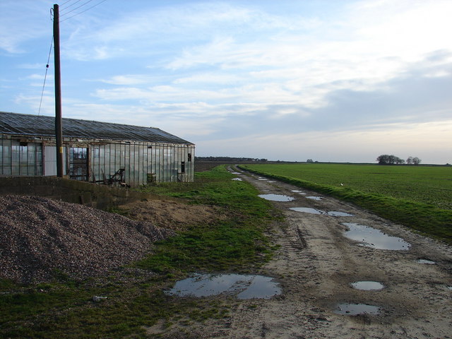
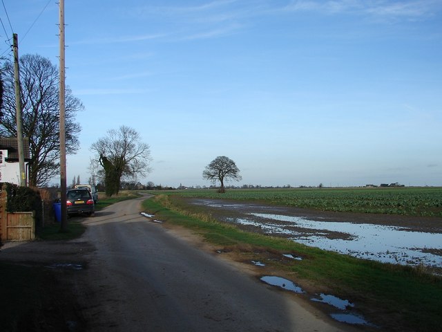
Leake Hurn's End Images
Images are sourced within 2km of 53.018599/0.12521308 or Grid Reference TF4248. Thanks to Geograph Open Source API. All images are credited.
Leake Hurn's End is located at Grid Ref: TF4248 (Lat: 53.018599, Lng: 0.12521308)
Division: Parts of Holland
Administrative County: Lincolnshire
District: Boston
Police Authority: Lincolnshire
What 3 Words
///hiring.swing.insurance. Near Old Leake, Lincolnshire
Nearby Locations
Related Wikis

Giles Academy
The Giles Academy (formerly the Giles School) is a mixed secondary school located in Old Leake in the English county of Lincolnshire. == History == Giles...

Wrangle, Lincolnshire
Wrangle is a village in the Boston Borough of Lincolnshire, England. It is situated approximately 9 miles (14 km) north-east from the town of Boston. The...

Old Leake
Old Leake is a village and civil parish in Lincolnshire, England. The population of the civil parish at the 2011 census was 2,022. Old Leake is situated...
Leverton, Lincolnshire
Leverton is a village and civil parish in the Boston district of Lincolnshire, England, about 6 mi (10 km) east-north-east of Boston, on the A52 road....
Nearby Amenities
Located within 500m of 53.018599,0.12521308Have you been to Leake Hurn's End?
Leave your review of Leake Hurn's End below (or comments, questions and feedback).