Leverton Outgate

Settlement in Lincolnshire Boston

England

Leverton Outgate

Spicer's Lane Looking north towards Leverton Lucasgate
Spicer's Lane Credit: Richard Croft

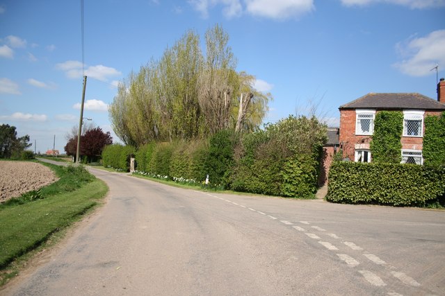
Leverton Outgate is a small village located in the county of Lincolnshire, in the eastern part of England. Situated about 5 miles northwest of the town of Boston, it is part of the East Lindsey district. The village is nestled amongst the beautiful countryside and offers a tranquil and picturesque setting.

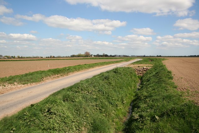
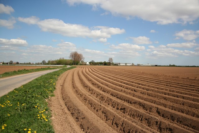
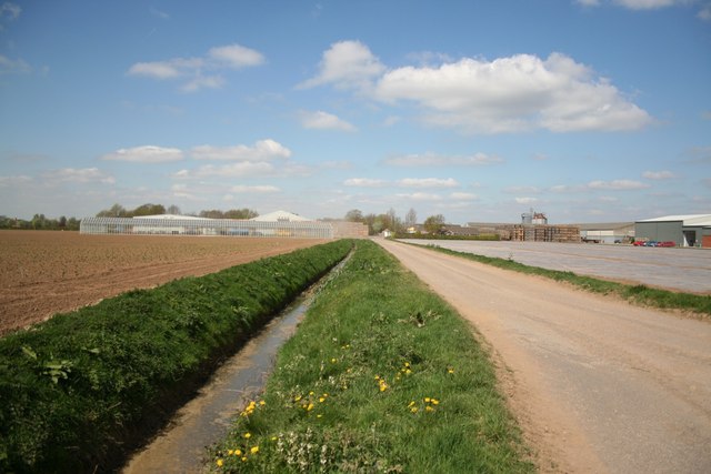
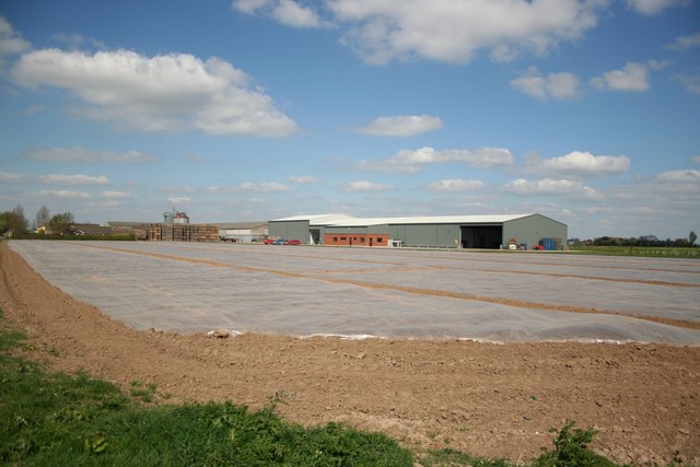
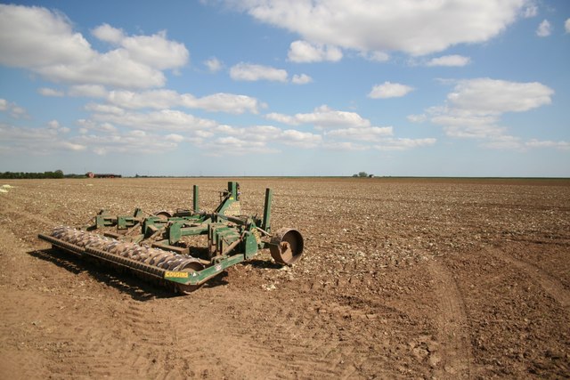
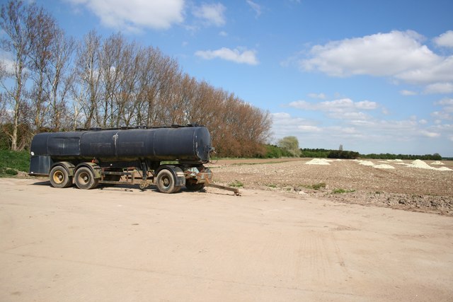
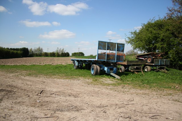
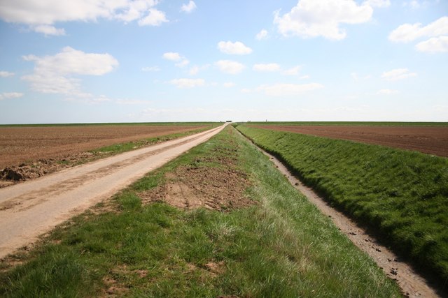
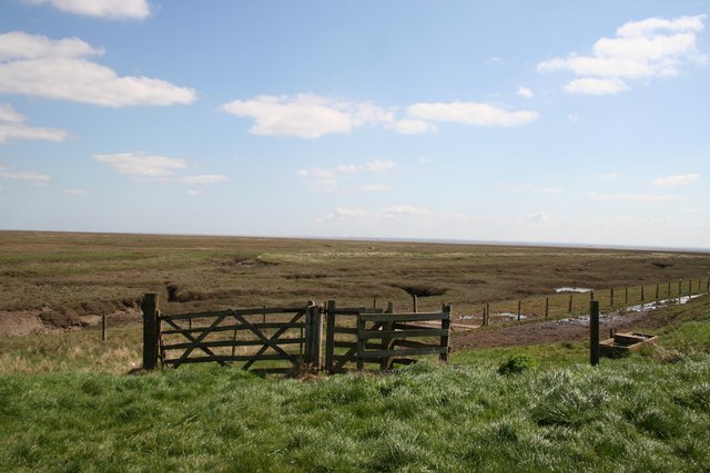
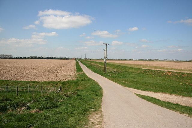
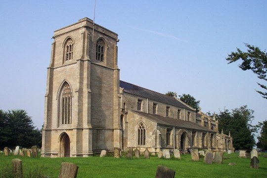
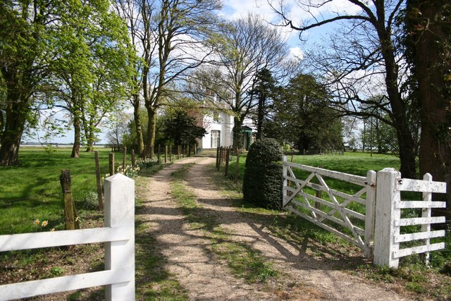
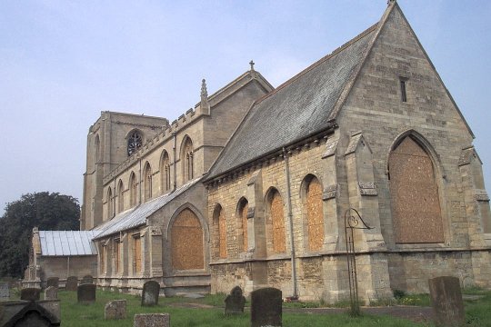
Leverton Outgate is known for its rural charm and traditional English character. The village features a collection of quaint cottages, many of which date back several centuries, showcasing the architectural history of the area. The surrounding fields and farmland add to the village's serene atmosphere.

Although small in size, Leverton Outgate is home to a close-knit community that takes pride in its heritage and traditions. The village has a local pub, The Red Lion Inn, which serves as a popular meeting place for residents and visitors alike. The pub offers a warm and friendly environment, where one can enjoy a pint of local ale or indulge in traditional English cuisine.

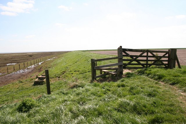
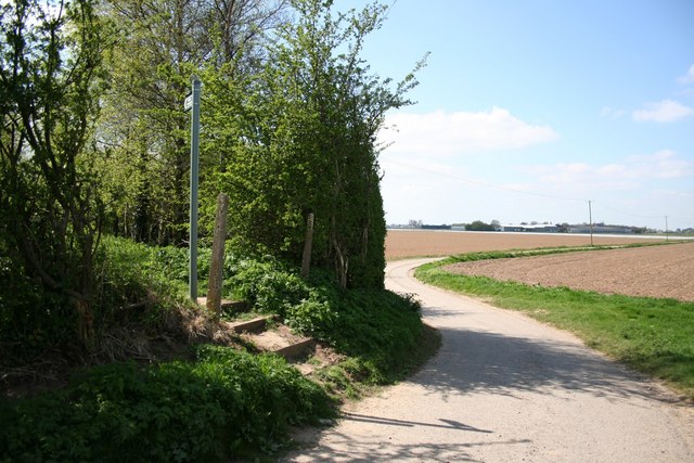
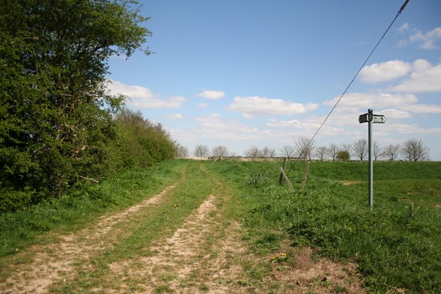
The village is also surrounded by natural beauty, with opportunities for outdoor activities such as walking and cycling. The nearby Leverton High Bridge, a historic structure spanning the River Witham, is a popular spot for locals and tourists who appreciate the scenic views and enjoy leisurely walks along the riverbank.

In summary, Leverton Outgate is a charming and idyllic village in Lincolnshire, known for its rural appeal, historic architecture, and close-knit community. It offers a peaceful retreat for those seeking a taste of traditional English village life.

If you have any feedback on the listing, please let us know in the comments section below.

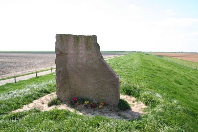
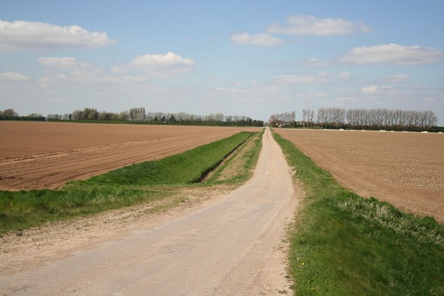
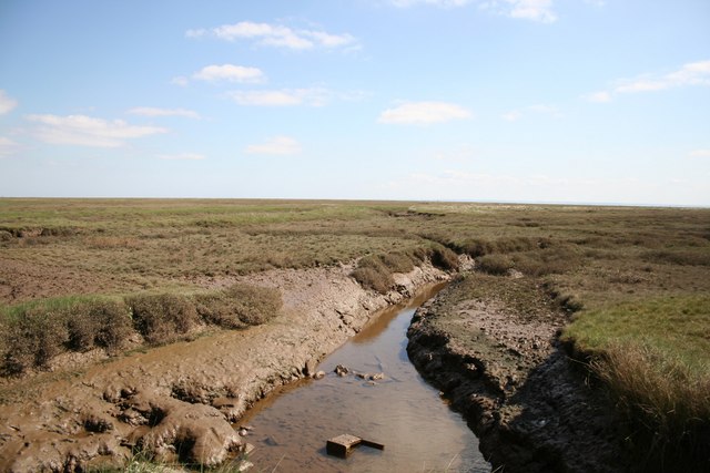
Leverton Outgate Images

Images are sourced within 2km of 53.012368/0.118905 or Grid Reference TF4248. Thanks to Geograph Open Source API. All images are credited.

Spicer's Lane Looking north towards Leverton Lucasgate
Spicer's Lane
Looking north towards Leverton Lucasgate
Leverton Lucasgate Looking north along Spicer's Lane to Seaforth Farm
Leverton Lucasgate
Looking north along Spicer's Lane to Seaforth Farm
Hall Farm Hall Farm from Sea Lane at Leverton Lucasgate
Hall Farm
Hall Farm from Sea Lane at Leverton Lucasgate
Hall Farm View from Oldfield Lane at Leverton Lucasgate
Hall Farm
View from Oldfield Lane at Leverton Lucasgate
Sea Lane farmland Land off Sea Lane, east of Roman Bank near Leverton Lucasgate
Sea Lane farmland
Land off Sea Lane, east of Roman Bank near Leverton Lucasgate
Roman Bank The treeline follows Roman Bank, the earliest man made attempt to reclaim fertile farmland from the sea.
Roman Bank
The treeline follows Roman Bank, the earliest man made attempt to reclaim fertile farmland from the sea.
Waiting for the harvest Idle farm trailers at a disused farm near Roman Bank at Leverton
Waiting for the harvest
Idle farm trailers at a disused farm near Roman Bank at Leverton
3m above sea level Low lying farmland and Sea Lane between Roman Bank and the later Sea Bank .... just 3m above sea level
3m above sea level
Low lying farmland and Sea Lane between Roman Bank and the later Sea Bank .... just 3m above sea level
Sea Bank The later Sea Bank at the end of Sea Lane
Sea Bank
The later Sea Bank at the end of Sea Lane
John Saul memorial Memorial on the Sea Bank, in loving memory of John Saul 9-4-1927 - 7-2-1997
John Saul memorial
Memorial on the Sea Bank, in loving memory of John Saul 9-4-1927 - 7-2-1997
View to Roman Bank The tree line indicates the course of Roman Bank, the earliest sea defences, seen from the later Sea Bank at the end of Sea Lane
View to Roman Bank
The tree line indicates the course of Roman Bank, the earliest sea defences, seen from the later Sea Bank at the end of Sea Lane
Mudflats A creek meandering through the mudflats beyond the Sea Wall at Leverton
Mudflats
A creek meandering through the mudflats beyond the Sea Wall at Leverton
Sea Bank The Sea Bank at Leverton looking south, mudflats to the left, rich farmland to the right.
Sea Bank
The Sea Bank at Leverton looking south, mudflats to the left, rich farmland to the right.
Leverton mudflats View towards the sea from the Sea Bank
Leverton mudflats
View towards the sea from the Sea Bank
View to Roman Bank Looking west from the later Sea Bank towards Roman Bank
View to Roman Bank
Looking west from the later Sea Bank towards Roman Bank
At Roman Bank The road pierces and the footpath crosses Roman Bank, with Hall Farm at Leverton Lucasgate in the distance
At Roman Bank
The road pierces and the footpath crosses Roman Bank, with Hall Farm at Leverton Lucasgate in the distance
Roman Bank footpath
Roman Bank footpath
Threeways Junction and Threeways Cottage at Leverton Outgate
Threeways
Junction and Threeways Cottage at Leverton Outgate
Show me another place!

Leverton Outgate is located at Grid Ref: TF4248 (Lat: 53.012368, Lng: 0.118905)

Division: Parts of Holland

Administrative County: Lincolnshire

District: Boston

Police Authority: Lincolnshire

What 3 Words

///went.shun.wiggly. Near Old Leake, Lincolnshire

Related Wikis

Giles Academy

The Giles Academy (formerly the Giles School) is a mixed secondary school located in Old Leake in the English county of Lincolnshire. == History == Giles...

Leverton, Lincolnshire

Leverton is a village and civil parish in the Boston district of Lincolnshire, England, about 6 mi (10 km) east-north-east of Boston, on the A52 road....

Old Leake

Old Leake is a village and civil parish in Lincolnshire, England. The population of the civil parish at the 2011 census was 2,022.Old Leake is situated...

Benington Sea End

Benington Sea End is a hamlet in the Benington civil parish of the Borough of Boston in Lincolnshire, England. It is 5 miles (8 km) east-northeast from...

Wrangle, Lincolnshire

Wrangle is a village in the Boston Borough of Lincolnshire, England. It is situated approximately 9 miles (14 km) north-east from the town of Boston. The...

Benington, Lincolnshire

Benington is a village and civil parish in the Borough of Boston in Lincolnshire, England, and approximately 4 miles (6 km) east of Boston, and on the...

Skirbeck Wapentake

Skirbeck Wapentake was an administrative unit in the Parts of Holland Lincolnshire, England from the early eleventh century at the latest, until the wapentakes...

Butterwick, Lincolnshire

Butterwick is a village and civil parish in the Borough of Boston, Lincolnshire, England, It is situated approximately 3 miles (5 km) east from the market...

Nearby Amenities

Located within 500m of 53.012368,0.118905
Bus Stop
Sycamore Farm
Naptan AtcoCode: 270000009286
Naptan Bearing: NE
Naptan CommonName: Sycamore Farm
Naptan Indicator: NE- bound
Naptan Landmark: Sycamore Farm
Naptan NaptanCode: linjamdw
Naptan Street: Spicer's Lane
Naptan Verified: no
Source: naptan_import
Lat/Long: 53.010251/0.114059
Bus Stop
Sycamore Farm
Naptan AtcoCode: 2700LLO04799
Naptan Bearing: SW
Naptan CommonName: Sycamore Farm
Naptan Indicator: SW - bound
Naptan Landmark: Sycamore Farm
Naptan NaptanCode: lindmwpm
Naptan Street: Spicer's Lane
Naptan Verified: no
Source: naptan_import
Lat/Long: 53.0102119/0.114236
Post Box
Ref: PE22 196
Lat/Long: 53.0151715/0.1176777
Leverton Outgate
Place: hamlet
Source: Bing
Lat/Long: 53.0141398/0.117681
Sycamore Farm
Place: farm
Source: Bing
Lat/Long: 53.0105485/0.1155499
Oldfield Cottage
Place: isolated_dwelling
Source: Bing
Lat/Long: 53.0151263/0.1211408
The data included in this document is from www.openstreetmap.org. The data is made available under ODbL.

Have you been to Leverton Outgate?

Leave your review of Leverton Outgate below (or comments, questions and feedback).